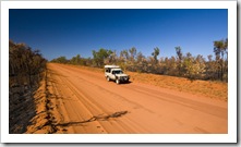
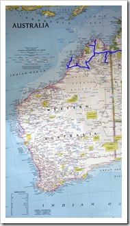
 After a fantastic week back in civilization in the relaxing surrounds of Broome (we’re spending some more time in Broome next week so a post on Broome is on its way…) we again removed ourselves from the beaten path and headed up the Dampier Peninsula, the spit of land extending north from Broome and Derby to its tip at Cape Leveque.
 We ran into a knowledgeable old fellow in Gregory National Park that clued us in on one of
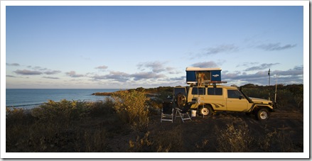
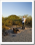
 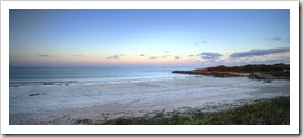 his favorite beach camping spots in Australia at an area called Quondong Point (S17°34.974′ E122°09.791′). Quondong is located only around 70 kilometers north of Broome on the road to Willie Creek Pearl Farm. It’s amazing that a place like Quondong still exists so close to the Gibb River Road and Broome: the area is an unspoiled coastal
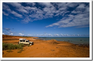
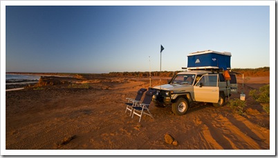
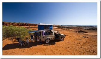
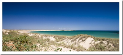
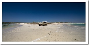
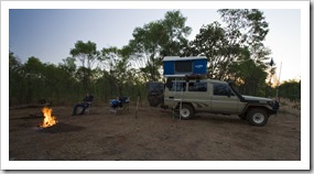
 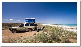 wilderness without a sign of civilization or development whatsoever. Our camp for the night was atop the dunes, overlooking the majestic
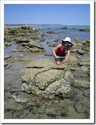
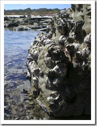
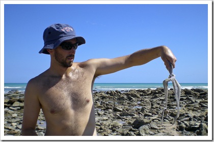
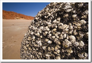
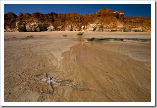
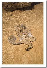
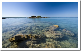
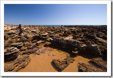
 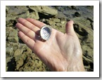 turquoise of the Indian Ocean, an amazing spot with a beautiful white sand swimming beach only a few hundred meters away. We spent the afternoon exploring the tide pools at the tip of Quondong Point, filling our stomachs with the plethora of fresh oysters off the rocks and I also nabbed a sizeable octopus, which we had for dinner that night. To cap it off as we sat there watching the sun set we had some whales breaching a few hundred meters offshore, slapping the water with their tails and blowing huge spurts of water into the air.
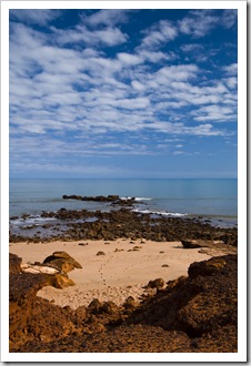
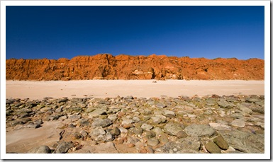
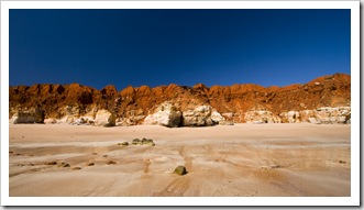
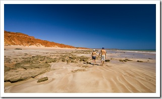
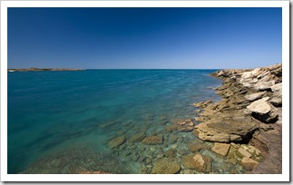
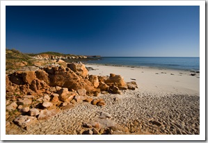
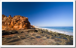
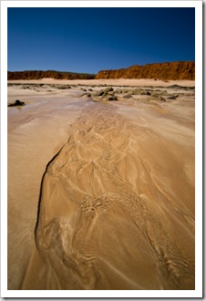 The next day we explored a little further north along the same road, making our way to the next point along the peninsula: James Price Point (S17°29.017′ E122°08.943′). We thought that Quondong Point was amazing, but James Price Point was really something else. The turquoise water bordered by white sand and brilliant red cliffs stretching north up the peninsula was so picturesque. Amazing colors and so much sea life in the tide pools, we saw a couple of sizeable sharks trolling the shallows at high tide as well as sting rays and more octopus (we stayed out of the water after seeing the sharks!). We camped for the night on the edge of the rocky promontory with a fantastic view of the ocean and cliffs to the north. One of our favorite camp spots of the trip so far. It’s a little sad that the Western Australian government has just approved the construction of a natural gas plant at James Price Point, we’re lucky to be able to experience it whilst still a beautiful unspoiled wilderness.
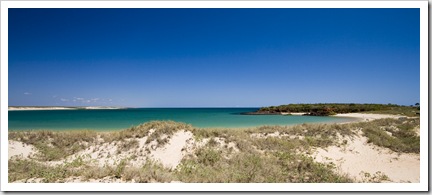
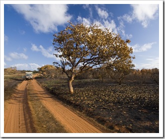
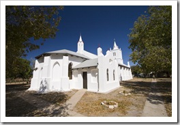
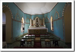
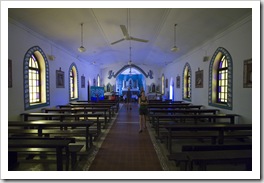
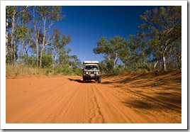
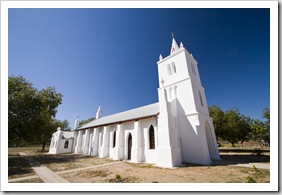 After a couple of brilliant days on the Willie Creek Pearl Farm road we made our way back to the main Cape Leveque Road and north up the Dampier Peninsula. The road up to Beagle Bay was quite a challenge, a mix of sand and hard clay that sloped inwards instead of the humped roads typical to the Kimberley that are formed to channel water off the road instead of into its centre. There were points along the trek where Lisa was bracing herself against the roof and window, getting ready for us to tip into the centre of the track! We stopped off at the Aboriginal community of Beagle Bay to admire the beautifully maintained church at the community’s mission and then pushed onto our next stop at Middle Lagoon. Middle Lagoon (S16°46.505′ E122°34.622′) is a well provisioned campsite run by the local Aboriginal community with surely some of the best bush showers in the country, we’re not used to such awesome pressure! Upon our arrival we weren’t sure where the ‘lagoon’ in Middle Lagoon was located but as the tide receded the bay in which we were camped transformed into a huge lagoon hemmed in by the tidal reef forming a small opening to the ocean in the distance. The tidal movements in this area of the country really are astounding… It was another beautiful sunset from our camping spot in the dunes, we’re going to take the sunsets for granted before too long!
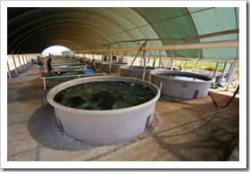
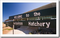 The main road traversing the top portion of the Dampier Peninsula is paved from just south of Beagle Bay to the peninsula’s tip, a nice change from the sand and awkward camber of the sandy road on the way up. We drove to the very tip of the peninsula, an Aboriginal community at One Arm Point (S16°25.266′ E123°01.967′), taking a look-see at the community’s hatchery while in town. The color of the water at the tip of the Dampier was amazing, sparkling turquoise as far as the eye could see dotted with thousands of islands and tidal reefs to the north. The community at One Arm Point
  harvests a certain type of shell from the outer reefs, operating the hatchery to ensure that shell supplies are maintained for future generations. The Bardi Aboriginal people boil the shells, remove the meat for food and then export the empty shells to Italy where the
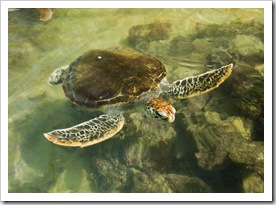
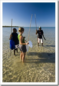 pearl-like compound in the shell is used to make metallic paints. We enjoyed quite an educational walk through the community’s hatchery, where as well as shells and fish there were a couple of very inquisitive turtles, rescued from the gulls by some of the local boys. We spent the night just outside the One Arm Point
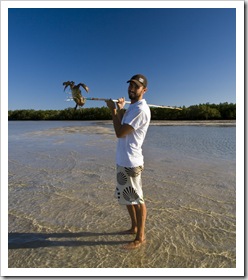
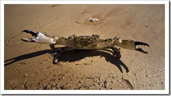
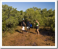
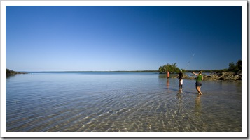
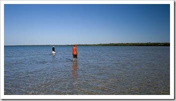
 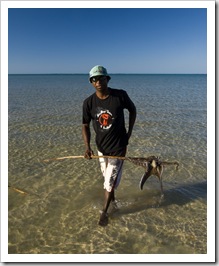 community on an Aboriginal property called Gambanan, fishing for the afternoon without pulling in much more than a few Parrot Fish. We did have a fantastic time tagging along with some of the local Aboriginal boys as they went mud crabbing at low tide in the tidal flats next to nearby mangroves. Armed with a spear each, the five of us (three of them as well as Lisa and me) waded through the
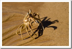
 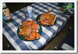 shin-deep water watching for dark patches in front of us. Dark patch = mud crab. It was a lot of fun learning how the Bardi people have hunted for thousands of years. Lisa and I returned home with four good-sized mud crabs as well as about six extra claws, while the Aboriginal boys took home a large octopus (the Aboriginals usually tear off the claws from female crabs as they grow back in around six months, this leaves the females in the water to breed). It was some of the most exquisite crustacean meat I’ve ever tasted! One of the boys speared a large Black Tip Reef Shark in the shallows but the shark spun around and chomped the spear in half, dodging the fry pan for the night. We gorged ourselves on crab and later that night drove back into the community at One Arm Point to see a local Broome band, the Pigram Brothers, play a concert at the school. A day full of culture for us!
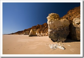
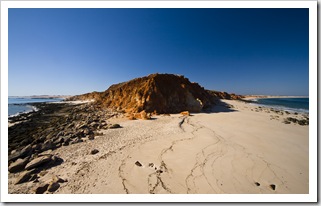
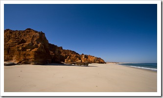
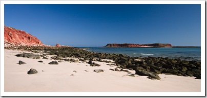 Our last morning on the Dampier Peninsula was spent at the famous Cape Leveque (S16°23.787′ E122°55.627′). Cape Leveque is a majestic archipelago of white sandy beaches and brilliant red cliffs
  dropping into the turquoise waters of the Indian Ocean. There is a very well provisioned campsite as well as five star bush villas at the cape operated by APT in conjunction with the local Aboriginal people. We hiked around the tip of the cape at low tide and had a quick snorkel at the northern beach before spending a few hours swimming and relaxing on the pristine white sand. Cape Leveque seemed to be quite a popular spot for campers
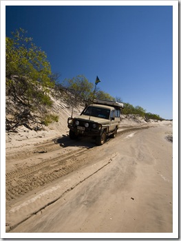
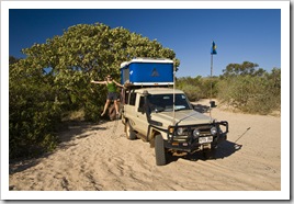
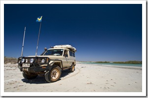
  making their way up the Dampier Peninsula, the campsite was booked out a for a week in advance when we arrived! We spent our final night on the Dampier Peninsula at Chile Creek (S16°32.121′ E122°52.401′), another campsite run by one of the Bardi Aboriginal communities. There were some fun sand 4WD tracks leading out to the coast from the community, The Tank performed exceptionally as always, making its way through the soft sand better than we could walk it.
A fantastic week exploring the Dampier Peninsula, the beaches and color of the ocean was just amazing. So glad we ran into that fellow in Gregory National Park, Quondong Point and James Price Point were two of the best bush camping spots we’ve found so far.
This entry was posted on Friday, August 21st, 2009 at 3:00 PM and is filed under Australia, Western Australia. You can follow any responses to this entry through the RSS 2.0 feed. Both comments and pings are currently closed.

looks beautiful!
August 24th, 2009 at 11:11 PM
Great posts, guys!!! Looks awesome!!! Very jealous as I sit here in my kebap shop. Cheers, Con
August 25th, 2009 at 5:20 AM
looks like you guys got crabs!!
August 27th, 2009 at 1:12 PM
….. no thanks
August 28th, 2009 at 11:09 AM
You guys are just jealous that your men don’t have my naturally athletic physique…
August 29th, 2009 at 11:16 AM
[…] hit the shelves today, in it is the second article of our two part piece on Western Australia’s Kimberley region. Also are a couple of short articles I did for the editor on a selection of ‘Escape […]
May 7th, 2010 at 11:34 AM
Hi folks, lovely stories and pictures particularly for James Prices Point and Quondong. You are probably aware that Woodside is planning to build a gas hub three times the size of the processing plant at Karratha right at James Price Point, causing utter destruction of such a pristine area. Please help the campaign in any way shape or form. Websites such as http://www.savethekimberley.com/ provide more information.
If we don’t all fight this sort of inappropriate development in wilderness and areas of great marine and indigenous significance they will be lost for future generations.
Regards,
Monique
June 21st, 2011 at 8:06 PM
Fantastic article has given us some great ideas as we head towards Cape Leveque in June – just love the fact that you have included GPS co-ordinates as well very helpful
Cheers
Peter
April 12th, 2012 at 4:44 PM