Hanoi

Vietnam 1 Comment »
Planet View: N21°05.842′ E105°47.184′
Street View: N21°05.842′ E105°47.184′

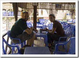
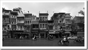
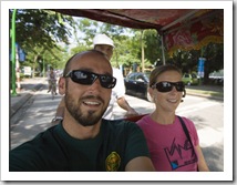
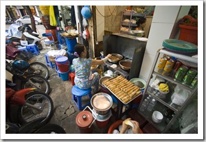
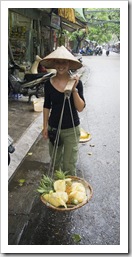
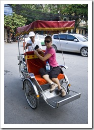
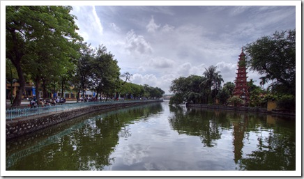
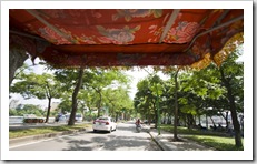
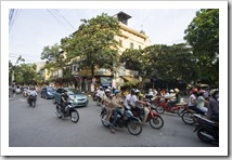
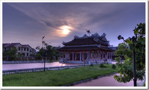
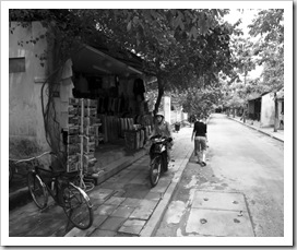
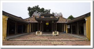
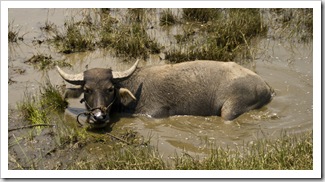
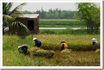
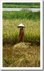
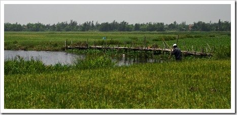
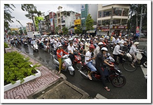
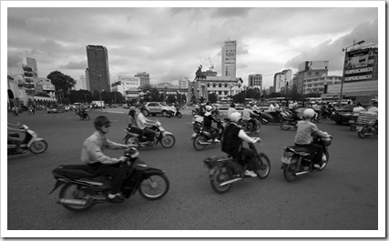
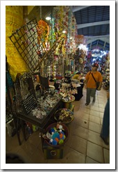
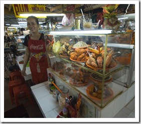
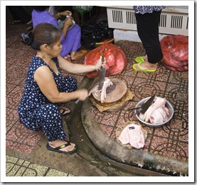
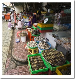
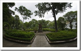
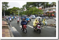
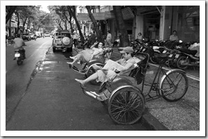
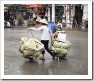
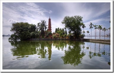
A common sight throughout VietnamTran Quoc Pagoda on its island in Ho Tay LakeWe traded the laidback streets of ancient Hoi An for the bustling metropolis of Hanoi, Vietnam’s capital city.  The 40 kilometers from Hanoi’s airport to the city centre were a mix of old and new: endless rice paddies intermingled with village-sized campuses of electronics manufacturers.  As with Chi Minh, the masses of two-wheeled traffic in Hanoi was mind-boggling, bicycles and scooters everywhere but at least we’d already become accustomed with how to cross the road!  The people in Vietnam’s capital had a decidedly cooler demeanor than Vietnamese southerners; still very eager to make a sale but not Central Hanoias bubbly as the friendly inhabitants of Hoi An and further south in Ho Chi Minh.  We copped a serious dose of the average 254 millimeters of rain that Hanoi receives during the month of September, spending Lisa enjoying lunch at Bung Cha Hang Manhan afternoon undercover Sam and Lisa in a cyclo taking a tour across Hanoias much as possible to avoid the downpour.  After spending one of our day’s exploring the city by foot we splurged a little on a cyclo to take us from the northern Ho Tay Lake (also called West Lake) back into Hanoi’s old town The streetside kitchen at Bung Cha Hang Manh(and by splurge I’m talking around $US3.50), a fun way to see the sights although it was a little unnerving being seated on the front of a bicycle while masses of traffic enveloped us on some of the busier streets.  After all the walking we also decided a foot massage was in order, at $USD4.00 for half an hour in an exceedingly clean, air-conditioned massage parlor we just couldn’t resist. 

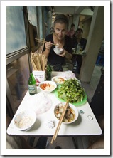
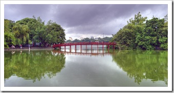
The brige to Ngoc Son Temple across Hoan Kiem Lake in central HanoiMost of the Hanoi locals eat at sidewalk bun cha (kind of a smorgasbord of leafy greens, rice noodles, garlic, chilis and ground pork) or pho (a broth filled with noodles and greens) eateries, where food is served on small tables surrounded by short stools or plastic chairs.  We ventured into a popular-looking bun cha house one afternoon called Bung Cha Hang Manh where we enjoyed a gigantic lunch of bun cha and delicious cua be (crabmeat spring rolls).  Luckily the two dishes were the only things the eatery served as there were no other westerners around to help with ordering and only one of the employees spoke even a hint of English.  As in Ho Chi Minh, a popular pastime in Hanoi and a fantastic way to people-watch is by finding an open seat at one of the plethora of sidewalk cafes and having a few drinks.  Most of the cafes serve ice cold 500mL beers for around $USD0.85!

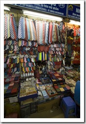
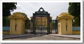
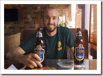
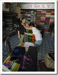
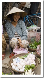
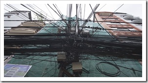
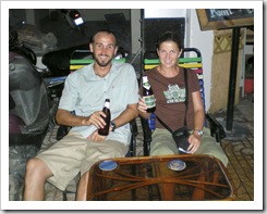
Turning Vietnamese?See if you can spot the shopkeeper amongst her tiesOur view from the cycloTran Quoc Pagoda and the causeway south across Ho Tay Lake into central Hanoi The Vietnamese president's residenceOur view from the cycloSam enjoying a few Tiger beers at our favorite spot in central Hanoi: Gecko CafeHanoi traffic

Share

Sapa

Vietnam 7 Comments »
Planet View: N22°20.110′ E103°50.320′
Street View: N22°20.110′ E103°50.320′

Elevation: 4566 feet
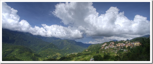
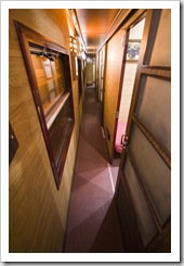
SapaThe train cabin on the way from Hanoi to Lao CaiWe set out from Hanoi on the overnight train bound for Lao Cai on a tour organized by Kangaroo Cafe, one of the plethora of tour outfits in Hanoi.  We weren’t sure what to expect on the train but were pleasantly surprised with a fantastic private sleeper for the night, a luxury train trip for us considering some of the trains we endured in Turkey and Greece!
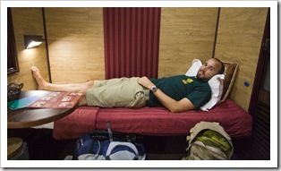
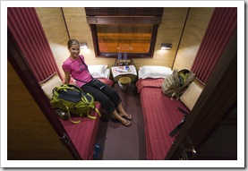
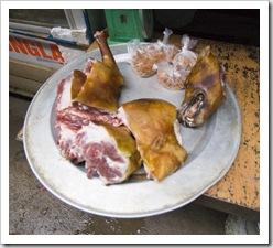
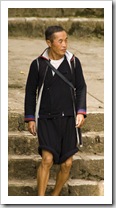
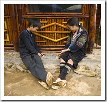
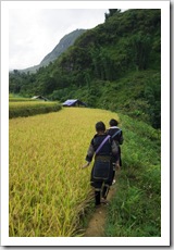
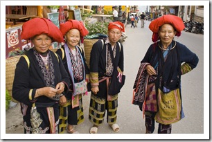
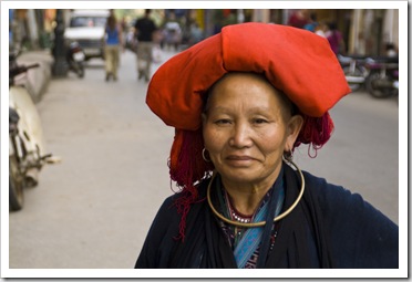
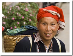
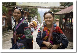
Sam in our train cabin on the way from Hanoi to Lao CaiLisa in our train cabin on the way from Hanoi to Lao CaiWe arrived early in the morning in Lao Cai, a small valley town three kilometers from the Chinese border around 200 feet above sea level, then hopped into a cramped mini-bus bound for the mountain haven of Sapa.  Sapa was established as a French hill station in 1922 and more recently has become one of the most famous tourist destinations in Vietnam due to its amazing scenery and the numerous ethnic minorities inhabiting the surrounding villages.  Sapa itself is almost exclusively inhabited by Vietnamese but the surrounding villages are home to a range of ethnic minorities that still, for the most part, maintain their traditional ways of life.  The majority of ethnic tribes around Sapa are made The Sapa marketsThe Sapa markets (yes that is a dog)up of H’Mong and Dao people, each group comprising a number of further divisions such as ‘Black’ H’Mong and ‘Red’ Dao.  It was Red Dao people in Sapafantastic to see the ethnic people walking through Sapa in their traditional garb, such colorful clothing and by far some of the friendliest people we’ve met on our travels.  It seems that the ethnic minorities around Sapa have Lisa making her way through the limestone on the way up Ham Rong MountainA H'mong in Sapamanaged to keep relatively segregated from the Vietnamese over the years, both the H’Mong and Dao people have distinctively different looks about them than regular Vietnamese.  The H’Mong women were all extremely short, most standing no more than five feet tall.  The Dao people seem to hold gold in quite high regard, it was not uncommon to see A couple of H'Mong girls we chatted to one afternoon in Sapathe Dao women with multiple gold teeth.  Our trekking guide informed us that Dao women will even have good teeth replaced with gold ones!
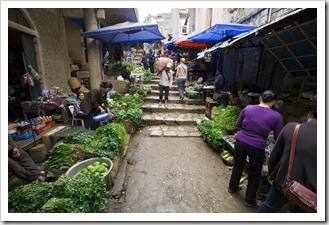
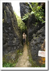
We spent a morning exploring the small town of Sapa, taking in the astonishing range of produce available at the town’s central market, as well as making the short hike up Ham Rong Mountain, the peak towering over Sapa’s centre.  No old women dangling body parts at Lisa in Sapa’s market but she definitely rushed past the stall at which the dog above was served up on a platter!  The walk up Ham Rong Mountain took us through Sapa’s orchid garden as well as to a lookout providing a brilliant view of the town below.

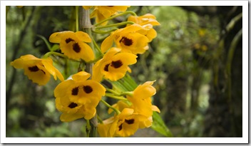
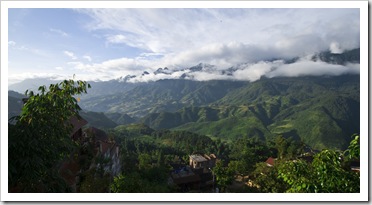
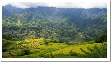
View of Sapa from the top of Ham Rong Mountain Orchids in the orchid garden on the way up Ham Rong MountainH'Mong children playing alongside the trail up Ham Rong MountainThe view of the mountains from our hotel balcony View of Fan Xi Pan in the morning light from our hotel balcony

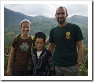
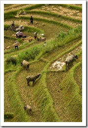
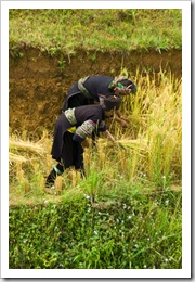
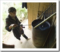
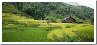
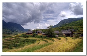
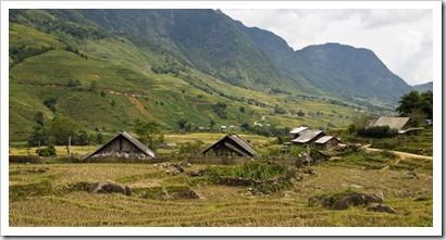
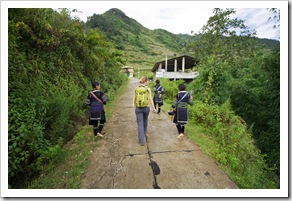
Lisa, Mi (our guide) and Sam after approximately 12 kilometers of walkingH'Mong people harvesting rice with water buffalo cleaning up after themH'Mong people harvesting riceWe were put up at at the Cat Cat Hotel for our stay in Sapa, a simple, clean establishment with unparalleled views of Fan Xi Pan (Vietnam’s tallest peak) and the valley to Sapa’s south (the shot above is the view from our balcony!).  We met Mi, our Black H’Mong guide, at our hotel after lunch on our first day in Sapa.  Standing no more than five feet tall, Mi was a bundle of energy and the best guide one could ask for.  She spoke amazingly good English for someone unable to read or write, telling us that she’d picked up all her English from speaking to tourists over the years in order to prepare herself for becoming a guide.  Mi spoke only broken Vietnamese, enough to get by at the Lisa with Mi (our guide) and a couple of other H'Mong girls on the way to Cat Cat VillageSapa markets she told us, with H’Mong being her primary language.  Mi has been guiding around Sapa for a couple of years and at 26 is mother to a a nine year old son and seven year old daughter.  H’Mong women traditionally marry when they’re 16 years of age, the bride’s family is Rice paddies across the valley from SapaMi showing us how the H'Mong people dye their hemp clothing its indigo colorusually approached by the parents of the husband-to-be to request the daughter as a bride.  If approved, a dowry for the daughter is arranged and the deal is sealed, the bride is not consulted about the arrangement at all during the process.  In Mi’s case the dowry was 2,400,000 Vietnamese Dong (around $USD130).  Mi informed us, in no uncertain terms, that Sam with Mi (our guide) and a couple of other H'Mong girls on the way to Cat Cat Villageshe did not like her husband at all when she was told they were to be wed and was very upset at her mother for arranging the union!  Mi is a Black H’Mong, named for the deep indigo color of the hemp clothing worn by her people.  She showed us the extensive crops of marijuana her people maintain for their clothing as well as the small bushes from which the indigo dye is harvested for dying the hemp.  We noticed that both H’Mong and Dao babies are carried on their mothers’ backs during infancy, when we asked Mi about this she told us that the babies do not wear any kind of diapers but the mothers instead learn the frequency with which each child ‘needs to go’ and makes sure to give them this opportunity whenever it’s needed.  On the topic of children, Mi also told us that she’d delivered both of her children by herself.  She’s of the opinion that her people, who end up walking a great deal through to mountains to harvest and tend rice, don’t have trouble delivering babies because of the frequency which which they exercise.  When we asked why she chose to deliver her babies without even the help of her village doctor she told us that she’s too shy to let anyone see that much of her!
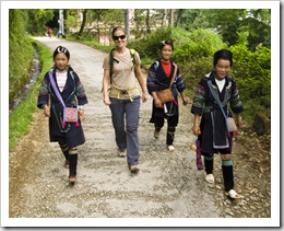
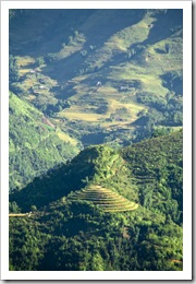
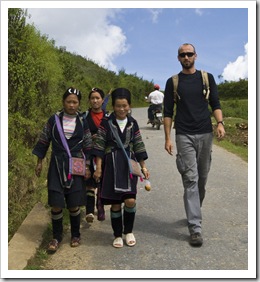
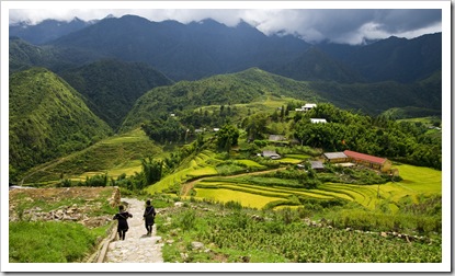
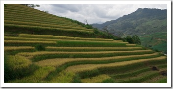
Walking with our H'Mong guides down the trail to Cat Cat VillageThe H’Mong people subsist almost exclusively on a diet of rice and tofu, eating pigs, chickens and ducks occasionally for special meals.  When we visited Sapa the annual rice crop was being harvested (due to the cold temperatures they only have a single yearly crop in the mountains around Sapa), the villagers all toiling in the fields in their traditional garb using only their hands and carts on the perilously steep slopes down which the paddies have been constructed.

For our fist afternoon of hiking Mi took us down the valley to the east of Sapa to nearby Cat Cat Village, one of the many collections of huts maintained by the H’Mong throughout the valley.  We picked up another couple of H’Mong girls as we were walking out of town, along the way chatting with them in their broken English about where they live and how old they are (a very common question in Vietnam).  Later we learned that it’s typical for ethnic people to follow hikers on treks with the expectation that the tourists will purchase some of their hand-made goods at the culmination of the day’s activities…
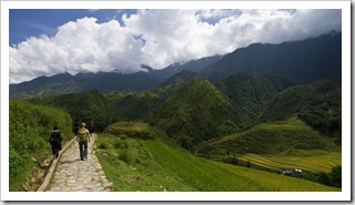
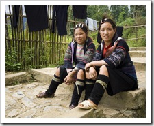
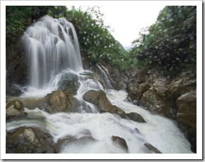
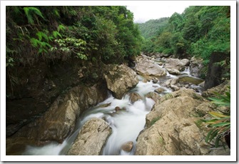
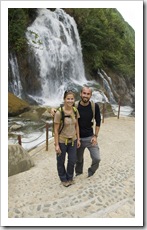
Lisa walking with our H'Mong guides down the trail to Cat Cat VillageThe H'Mong girls who tagged along with us for our hike down to Cat Cat VillageRice paddies near Cat Cat Village Cat Cat FallsOne of the many streams making its way down the side of Fan Xi PanSam and Lisa in front of Cat Cat FallsWalking through the rice paddies near Cat Cat Village On the way back up the hill from Cat Cat Village to SapaRice Paddies between Cat Cat Village and SapaHiking to Lao Chai Village 

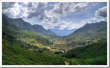
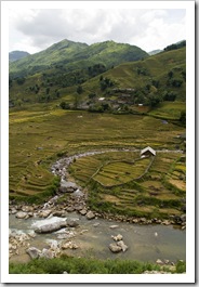
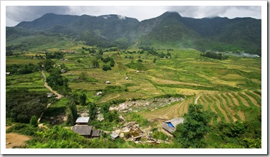
Looking down the valley toward Lao Chai and Ta Van Our longest day of hiking involved a roughly 12 kilometer route down the valley to Sapa’s south, covering over 1500 vertical feet in the process and absolutely drenching our clothes in sweat in the sweltering humidity.  We passed through Lao Chai and Ta Van villages on the way, stopping off at Lao Chai for a lunch of traditional pho.  Our original route ended at Ta Van but we convinced Mi to take us the few extra kilometers to her tiny village on the western side of the valley.  My jaw almost hit the ground partway through our hike when we were enjoying the scenery and heard an electronic-sounding chime coming from Mi’s clothing.  She pulled out a mobile phone and started chatting away in H’Mong.  Now a mobile phone may not seem that astounding to most of you reading but consider the Mi leading the charge down to Lao Chai VillageLao Chai Villagesetting: here’s an ethnic villager in the mountains of Vietnam living as her ancestors have for thousands of years in a wooden hut without electricity or plumbing, she has never traveled even the 30 kilometers to the nearest large town of Lao Cai, she cannot read or write nor speak her country’s national language of Vietnamese, dresses in traditional garb made by hand from raw materials and if not for her proficiency with English she’d be with the rest of her village enduring the backbreaking task of harvesting their year’s supply of rice.  Yet she has a mobile phone and at the click of a button can speak with anyone else on the planet similarly plugged into the global network.  Technology is amazing sometimes…  Back to our hike: the return to Sapa from Mi’s village involved each of us hopping on the back of a small motor scooter, hanging on for dear life as the drivers weaved along the nine kilometer road up the mountain to our hotel.  An awesome day of hiking but boy were our feet and legs feeling it after some of the extremely steep tracks down to the valley floor.
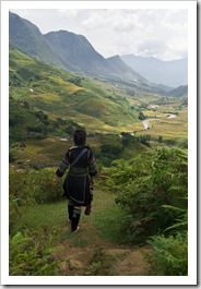
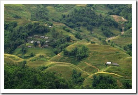
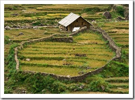
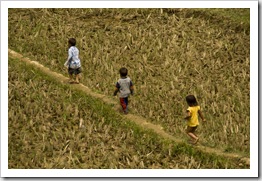
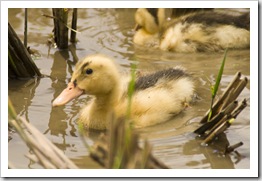
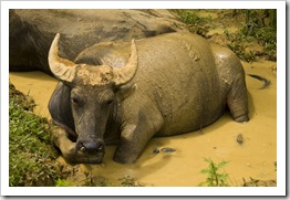
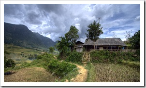
Hiking to Lao Chai VillageLao Chai VillageHaving lunch near Lao Chai VillageBackbreaker... Ducks near Ta Van VillageYoung children exploring the rice paddies near Ta Van VillageDucks near Ta Van VillageWater buffalo cooling off near Ta Van Village Ta Van VillageTa Van Village Ta Van Village Ta Van VillageLooking across the valley to Mi's village (I can't remember its name...)Walking across the valley to Mi's village 

Red Dao people in SapaRed Dao people in SapaSapa would have to be one of the highlights of our trip thus far.  Amazing scenery and such a brilliant experience with some of the ethnic minorities living in the mountains in Vietnam’s northern provinces.  Our trip back to Hanoi wasn’t as enjoyable as the VIP sleeper we had on the train on the way up (Lisa found mouse droppings in her bed on the way back but was luckily able to change bunks!), and to add to that Lisa managed to leave her Gore-Tex Salomon hiking shoes with her orthotics inside on the train in Hanoi at 4:30AM when we arrived (lucky for her her loving husband was willing to run halfway across Hanoi at 6:00AM to get them back), but regardless of the near-sleepless train ride back our time in Sapa will be remembered fondly for many years to come.
Share

Hoi An

Vietnam 4 Comments »
Planet View: N15°52.779′ E108°19.429′
Street View: N15°52.779′ E108°19.429′

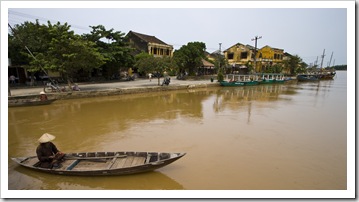
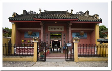
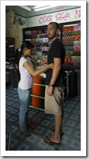
RouteGetting measured for new clothes in Hoi AnIt was an interesting flight from Ho Chi Minh to Danang as Lisa was seated next to a monk who, in no uncertain terms, let Lisa know that she was not to touch the monk’s clothes or skin during the flight!  It seems that I was allowed to do so, however, as when I leaned across to help the monk do up her seatbelt she was very obliging…  Hoi An is located about 40 minutes by taxi south along the coast from Danang, the airport into which we flew.  In 1999 Hoi An’s old town was declared a World Heritage site by UNESCO as a well-preserved example of a Southeast Asian trading port of the 15th to 19th centuries, with buildings that display a unique blend of local and foreign influences.  The town A local Hoi An fishermanThe Confucius Temple next to our hotelabounds with tailors at the ready to make any kind of clothing imaginable.  After seeing the quality of the clothing and selection of beautiful fabrics I had a suit and two shirts tailored and Lisa a beautiful cocktail dress made.  We were measured during our fist afternoon in town and picked up the clothes 24 hours later, walking into the store to find the seamstress Our hotel room in Hoi An at Hoang Trinhasleep after staying up all night to make our clothes!  I don’t think I’ve ever had a set of clothes fit so well.
We stayed at Hoang Trinh Hotel, A fisherman with Hoi An's old town in the backgrounda quiet abode next to Hoi An’s picturesque Confucius Temple and a short walk from the entrance to Hoi An’s old town.  The old town is an amazing collection of traditional Vietnamese buildings, row upon row of open-front stores offering everything from $USD1.00 pure silk ties to the latest  Enjoying a beer in Hoi An's old townOur tailor in Hoi AnNorth Face backpacks.  We were visiting outside of the European, American and Australian holiday seasons so the town was pretty quiet, but the sheer number of hotels and stores identifies Hoi An as being firmly cemented into Vietnam’s main tourist circuit.  There are a number of dishes endemic to the area around Hoi An that we tried during our stay, cao lau was our favorite: a noodle dish with broth at the bottom of the bowl mixed with fresh greens topped with thinly-sliced pork and wonton chips.  Cao lau at most restaurants was around $USD0.80 for a bowl, the fresh spring rolls here in Hoi An were also to die for and similarly cheap.  I’m at serious risk of turning into a spring roll with the number I’ve consumed so far.

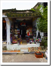
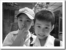
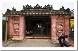
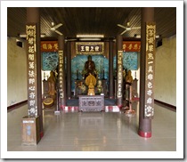
A temple in Hoi An's old townLisa exploring the streets of Hoi An's old townShoes and fabrics in Hoi An's old townGetting measured for new clothes in Hoi An School boys on their way home in Hoi AnThe Japanese Covered Bridge leading into Hoi An's old townHoi An old townWe saw this cow on a spit the day after this photo was taken!

The Hoi An central marketLocals peddling their wares in Hoi An's central marketLocals peddling their wares in Hoi An's central marketThe central market in Hoi An was a similar to the markets in Ho Chi Minh: a menagerie of food and clothes as well as a mind-boggling number of odors and animal parts.  I turned around at one point to see Lisa high-tailing it towards me down a tight alleyway, behind her was a tiny, old Vietnamese woman dangling the tail and rear-end of some unintelligible animal in Lisa’s direction and laughing in the process!

Walking along the river in Hoi An's old townLocals peddling their wares in Hoi An's central marketThe Hoi An central market 

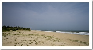
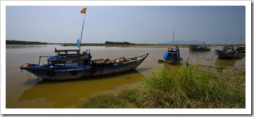
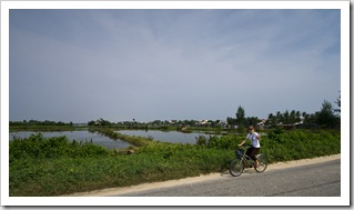
Cua Dai Beach near Hoi AnFishing boats in the river at Tanh HaSam on his bike riding between Hoi An and the beachWe hired bikes one day for $USD0.50 each for a cycling tour of the countryside surrounding the town centre.  During the morning we rode out to Cua Dai Beach, supposedly one of the most beautiful stretches of beach in all of Vietnam.  The white sand and palms leaning over the water backed by the Lisa riding her bike next to the rice paddies between Hoi An and Cua Dai BeachCham Islands in the distance were quite picturesque, but unfortunately Hoi An recently received a week of solid rain so the water was a little murky for swimming.  During the afternoon we headed west of Hoi An, a few kilometers out of town we were riding through an endless patchwork of rice paddies being reaped by Vietnamese farmers in A Buddhist Temple in the countryside north of Hoi Antraditional garb.  Such backbreaking work…  We found ourselves in the small riverside village of Tanh Ha where the main pastimes are pottery and carpentry, a number of craftsmen along the main street were at work when we rode through.  Out of Tanh Ha we headed north through the countryside, passing the Buddhist temple pictured here along the way as well as many more rice farmers toiling under the hot sun.  We were in a constant state of sweat in Hoi An and the amount of water our skin lost during a day of riding was unbelievable, both of our shirts completely saturated and my backpack soaked halfway through by the time we made it back to Hoi An after riding about 15 kilometers.

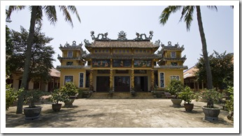
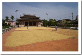
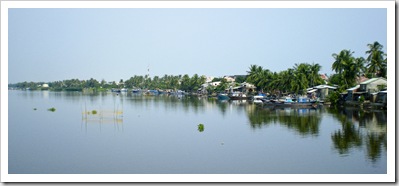
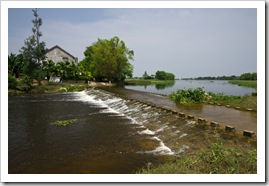
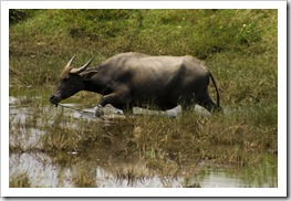
Rice farmers drying rice in front of the Confucius TempleThe river between Hoi An and the beachThe road between Tanh Ha and Vinh Dien A water buffalo cooling off in the rice paddies in the countryside north of Hoi AnA Buddhist Temple in the countryside north of Hoi AnA Buddhist Temple in the countryside north of Hoi AnA water buffalo cooling off in the rice paddies in the countryside north of Hoi An Rice harvesting in the countryside north of Hoi AnRice harvesting in the countryside north of Hoi AnA fisherman on the edge of the rice paddies in the countryside north of Hoi An Hoi An old town as the sun sets

Share

Ho Chi Minh City

Vietnam 4 Comments »
Planet View: N10°46.077′ E106°41.705′
Street View: N10°46.077′ E106°41.705′

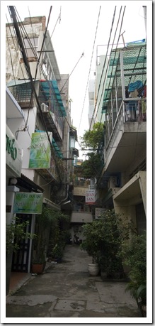
The tight lane leading to our hotel: Quan San (the sign is just visible down the end of the lane)The only time I've ever been served a glass with ice to go along with my beer!Bracing for the green light!The humidity of the tropics was palpable as soon as our plane’s doors opened to Vietnam last night, the air was sometimes so thick today that you could see the mist hanging in the streets just before the skies opened up to relieve themselves.  We arrived in Ho Chi Minh City, or Saigon as most of the locals still call the metropolis, last night after spending a day in Darwin with my auntie and uncle.  The traffic here had us holding our seats on the Vietnamese telecommunications networksride to our hotel in district one of the Sam and Lisa watching the world go by on a street in Ho Chi Minh Citycity, thousands of mopeds, scooters and bicycles managing to avoid each other and the occasional car as the traffic weaved its web through the city.  We took a late night walk through the streets around our hotel after arriving around 9:30PM, sitting down for a dinner of shrimp soup and a bowl of traditional Vietnamese pho as well as a liter of beer between us all for around $USD4.50.  The cost of living here is amazingly low. 

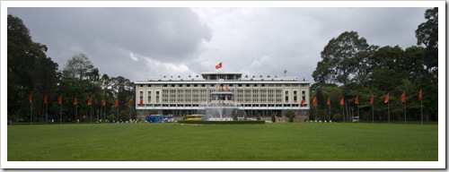
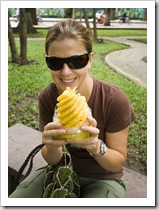
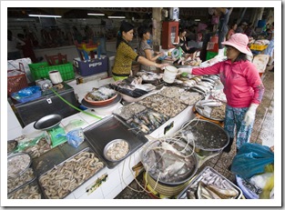
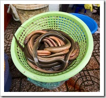
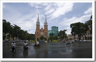
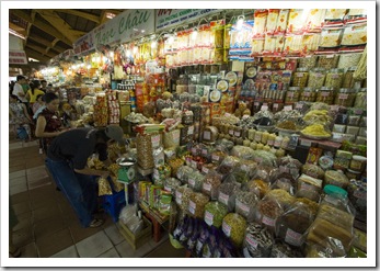
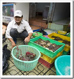
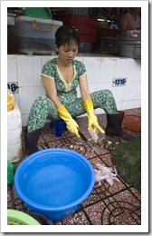
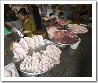
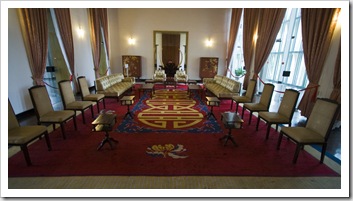
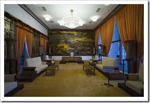
The Reunification Palace We spent today exploring central Ho Chi Minh by foot, visiting a few of the local Pineapple time in Cong Vien Van Hoa Parkmarkets, which reminded us both a lot of the bazaars in Istanbul, as well as the Reunification Palace, the home of the President during times when North and South Vietnam were separate countries.   The never-ending stream of scooters usually made it nigh on impossible to find a break in the traffic to cross the road, we quickly learned from watching the locals that if we maintained a steady pace crossing the streets One of the shrimp stalls in Ben Tanh MarketFresh eels in Ben Tanh Marketthe traffic  would somehow find its way around us!  Definitely a leap of faith the first few times we tried it.  The Ho Chi Minh markets were a lot of fun, an amazing array of global Sam enjoying some barbequed prawnsbrand names priced at a small fraction of their cost in the west.  I couldn’t resist a Lacoste shirt and Lisa a handbag!  We spent the most time in Ben  Tanh Market where we were especially enamored with the rows of fresh seafood, fruit and meat vendors displaying their wares.  Most of the seafood was still alive, crabs tied up to protect them from nipping their purchasers and small tanks fed with fresh water to keep everything from prawns to frogs still A myriad of scooters in front of Ben Tanh Marketkicking.  The meat market was also quite a sight, some vendors  offering body parts that would be considered offal in the west but are evidently quite the delicacy here in Vietnam.  The fruit stalls were Notre Dame Cathedralpacked a dazzling display of fresh produce, most of which neither of us could identify, we shelled out $USD0.30 to have a pineapple peeled and then sat in  Cong Vien Van Hoa Park devouring it on a bench.  It rained on and off today, the torrential downpours lasting only 10 or 20 minutes each, during which time we’d hurry to find cover under the awning of a store or in a covered market.  The humidity here is unbelievable, sweat drips from both of us constantly, amazing that some of the locals seem quiet comfortable in jeans and jackets!

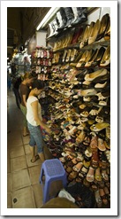
Lisa in shoe heaven in Ben Tanh MarketBen Tanh MarketBen Tanh MarketOne of the seafood lunch stalls in Ben Tanh Market Fresh pig feet in Ben Tanh MarketLive crabs (even though they don't look it) in Ben Tanh MarketLive crabs (even though they don't look it) in Ben Tanh MarketSkinning fresh frogs in Ben Tanh Market A meat stall specializing in intestines, ears, stomachs, livers, pancreas...Cong Vien Van Hoa ParkCong Vien Van Hoa ParkThe ponchos come out when the rain begins The Reunification PalaceThe Reunification PalaceCyclo drivers waiting out the mid-afternoon rain

Share

Adelaide

Australia, South Australia Comments Off on Adelaide

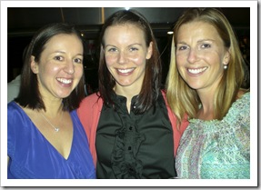
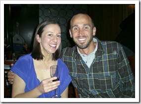
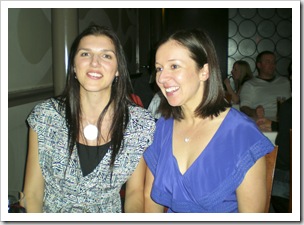
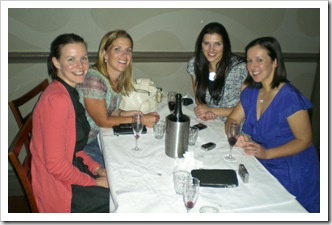
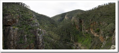
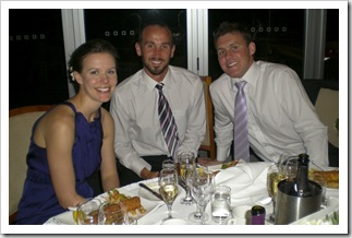
Bronte, Abi and Lisa during the hens nightBronte and Sam during the hens nightJust finishing up a few quick days in Adelaide for Ben and Bronte’s wedding and a little time with my parents.  We arrived just in time for Lisa to attend Bronte’s hens night, she caught up with the girls at the Bath on Norwood Parade for a few drinks and then I picked them all Sam, Jordan and Grace at Morialtaup at the end of the night, making a (very) late night stop at the famous Falafel House on Hindley Street on the way home.  We also managed a bit of a hike up to Morialta Falls in the Adelaide Hills, picking up the Opperman kids from school and taking them with us to see the enormous amount of water flowing with all the recent rain.

Rachel and Bronte during the hens nightAbi, Lisa, Rachel and Bronte during the hens nightAbi and Lisa during the hens night Bronte and Sam out for a late night yiros on Rundle StreetThe Grange Jetty and beachfront Afternoon sun over the Grange JettyGiant's Cave at MorialtaLisa and Grace hiking in Morialta Morialta (the first two sets of falls are on the far right)Morialta

Share

Ben and Bronte’s Wedding

Australia, South Australia Comments Off on Ben and Bronte’s Wedding

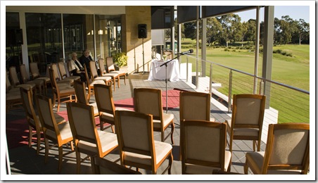
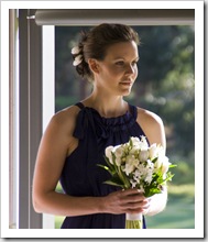
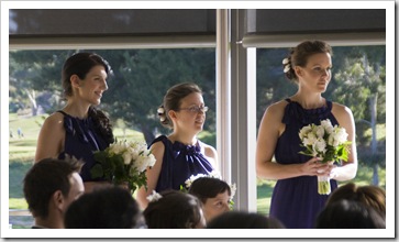
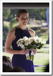
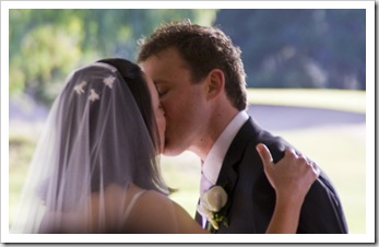
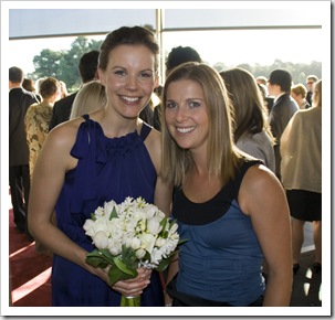
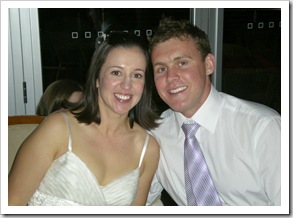
BenThe setting at Kooyonga Golf CourseBen Ben and his best manAbi the maid of honorThe bridesmaids BronteBen and BronteBronteAbi BronteSealing the dealThe KennaresThe Kennares Abi and LisaThe Kennares with Bronte's parentsBen and Bronte's wedding Ben and Bronte's weddingJess, Bronte, Ben and DylanSam and Lisa Lisa, Bronte, Ben and SamAbi, Sam and BenThe bride and groom

Share

Gallery: The Kimberley

Australia, Galleries, Western Australia 1 Comment »
  • Greece
Western Australia: The Kimberley

A gallery of photos from Kununurra and surrounds, the Bungle Bungle Range, El Questro, the Gibb River and Kalumburu Roads, Kalumburu, Mitchell Falls, Bell Gorge, Manning Falls, Lennard River Gorge, Windjana National Park, Tunnel Creek National Park, Fitzroy Crossing, Derby, the Dampier Peninsula and Broome.

Share

Broome

Australia, Western Australia 3 Comments »
Planet View: S17°55.662′ E122°13.020′
Street View: S17°55.662′ E122°13.020′

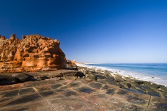
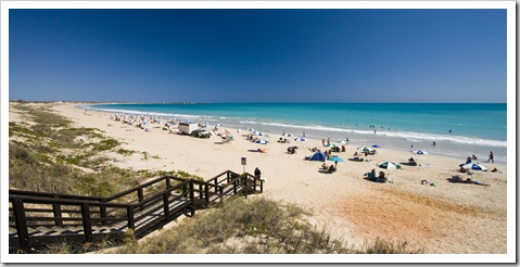
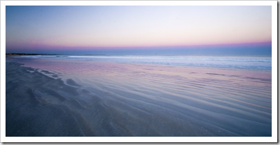
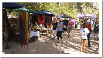
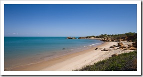
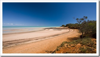
The beautiful white sand and turquoise water of Cable Beach Broome markets on Saturday and Sunday morningsWe made our way to Broome from Derby a few weeks ago, finishing up the last few chapters of Malcolm Gladwell’s interesting book Outliers on tape during the roughly 300 kilometer drive.  We can understand why Broome is one of the top winter tourist destinations in the country after spending a couple of weeks in the area, the place has it all: a fantastic dry season climate, beautiful swimming beaches, a plethora of restaurants and bars as well as some great fishing off the local beaches and jetty.  28-32°C (82-90°F) every day and 26°C (79°F) in the water, who could ask for more?!

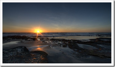
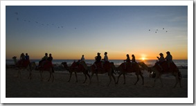
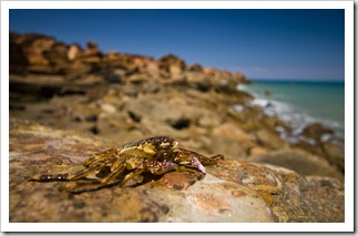
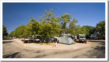
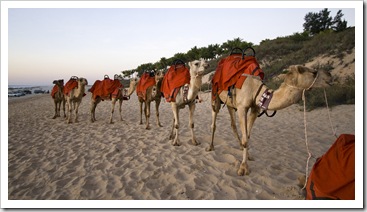
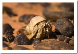
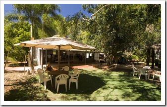
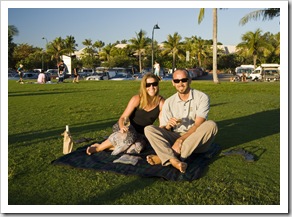
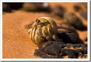
For our first week in Broome we returned to being Camel tours on Cable Beachcrammed-in like tinned sardines at the Cable Beach Caravan Park.  We soon Sunset at Cable Beachdiscovered that getting a spot to sleep in Broome in the tourist season is absolute mayhem.  The 10 or so caravan parks (there’s no camping in town) book out weeks in advance, some grey nomads book their spot for the winter a year in advance!  Luckily we’re pretty flexible, not requiring much space or power, so were able to slot in at Cable Beach for our first week in town.  Even though the place was jam packed the facilities were excellent and we enjoyed being able to walk to beautiful Sunset camel tours at Cable BeachCable Beach for a morning run or afternoon swim.  A hermit crab at Roebuck BayThere are a couple of restaurants at Cable Beach itself, Lisa sprung for a $16 cocktail at the Cable Beach Club one afternoon as we watched the sunset and camels come in from their day of tourist rides along the beach.  Cable Beach Caravan Park was like a small city unto itself, all  the oldies residing there for the dry season seem to know each other and regularly visit each other’s caravans for dinner and drinks.  It’s the biggest caravan park we’ve seen, with almost 400 bays the owners must absolutely rake in the cash.  I had to stifle a smile on a number of occasions in the bathrooms as the old men would line up at the washbasins for their daily shave and denture cleaning, having a good conversation with their toothless gums hanging out!

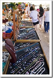
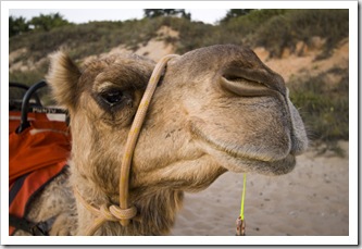
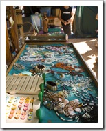
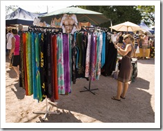
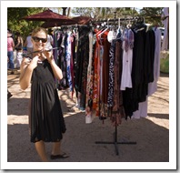
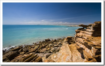
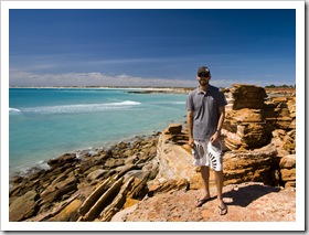
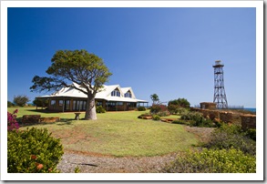
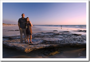
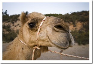
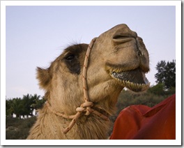
 Broome markets on Saturday and Sunday morningsLisa at the Broome marketsLisa at the Broome marketsBroome markets on Saturday and Sunday mornings Gantheaume Point with Cable Beach in the distanceA crab on the rocks at Gantheaume PointSam at Gantheaume Point The lighthouse and residence at Gantheaume PointCrammed in to the Cable Beach Caravan ParkSam and Lisa on Cable Beach at sunset Camel tours on Cable BeachCamel tours on Cable BeachLisa's favorite photo of a big-lipped camel on Cable Beach

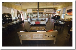
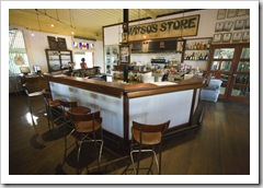
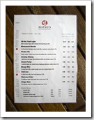
Matso's Brewery in Broome's town centre Matso's Brewery in Broome's town centre Matso's Brewery in Broome's town centre Broome’s town centre is full of restaurants and pubs, one of our favorites was a brew house called Matso’s, where we had a good afternoon session sampling all their beers and ended up staying for dinner.  Our favorite is called a ‘chango’: a half-and-half mix of their mango and chili beers.  The chili was way too spicy to down a whole glass of it on its own.  We returned to Matso’s during our second week back in Broome for another dose of changos, such a good mix of sweet and spice. 

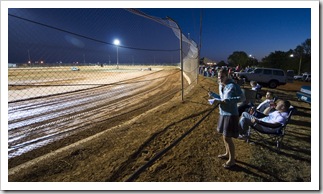
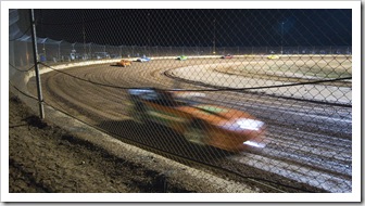
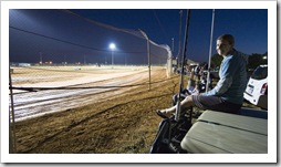
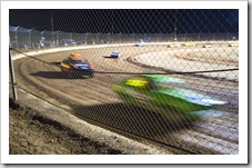
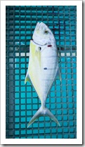
A dose of Aussie culture at the Broome SpeedwayI took Lisa for a dose of real Aussie country culture at the Broome Speedway one Saturday night.  We sat on The Tank’s bull bar alongside the race course, watching the cars race around the clay track and occasionally being The Broome Speedwaypelted by mud as the street stock class reversed directions for certain races.  One class of cars, called ‘supers’, were amazing to watch.  With 900+ horsepower behind the wheels they hurl into corners at more than 110 miles per hour, they moved way too fast for a photo in the dark lighting.  That’s some serious speed on a clay track!  They moved around the track so quickly it appeared they were in a constant turn, always steering around a corner or A dose of Aussie culture at the Broome SpeedwayThe Broome Speedwaycorrecting from oversteer.  A lot of fun, A two foot long Golden Trevally on the jetty at the Port of Broomeand we’ll never forget Lisa mistaking the father and daughter next to us for boyfriend and girlfriend!

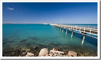
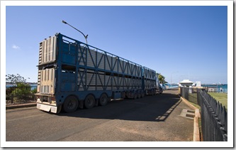
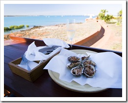
A short drive from the town centre is the Port of Broome, a bustling location for fishermen, tourists and live cattle being shipped off to Asia.  We stumbled upon half-price afternoon oysters at the swishy Wharf restaurant, Lisa enjoying a few Entrance Point by the Port of Broomenatural with a glass of sparkling and me opting for Kilpatrick.  We returned to the port on another afternoon to fish off the jetty, I pulled in about 15 Garfish during an hour session, a lot of work to clean them all but well worth it once they were on the plate.  During our second week in Broome we again tried our hand at fishing off the jetty, it was a quick lesson in the power of the tides in this area of the country.  The tides here switch from week to week between Neap Tides and Spring Tides: Neap Tides usually have a range of one or two meters between high and low, while Spring Tides have massive eight to 10 meter fluctuations.  The immense amounts of water moving during Spring Tides makes the coastal waters very murky and choppy, fishing off the jetty or beach during a Spring Tide is almost a waste of time, it seems.  We didn’t even get a bite whilst trying to fish during a Spring Tide off the jetty at Broome’s port.

The Port of BroomeLive cattle on their way to Asia at the Port of BroomeOysters at the Wharf restaurant by the Port of Broome

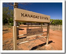
A hermit crab at Roebuck BayThe Mango Place at Kanagae EstateWe also took some small excursions out of Broome to the surrounding areas of 12 Mile and Roebuck Bay.  Roebuck Bay is located at the northern end of 80 Mile Beach, just behind the peninsula on which Broome’s located.  No swimming in the bay as it’s supposedly full of sharks, but we enjoyed walking the beach and checking out the Broome Bird Observatory located just behind the dunes.  12 Mile is located 12 miles Roebuck Bay(surprise, surprise…) east of Broome on the way back inland, an array of plantations and horticultural businesses.  We stopped off at Kanagae Estate and sampled some of their many mango products: mango wine, hibiscus port and some scrumptious mango-infused pies for lunch.

From Broome we say goodbye to The Tank and again switch to living out of backpacks for a couple of months while we travel through Southeast Asia.  But we’ll be back in Western Australia toward the end of October to continue our anti-clockwise route around the Land Down Under…

The Mango Place at Kanagae EstateEnjoying a bottle of white wine while watching the sunset over Cable BeachA hermit crab at Roebuck Bay

Share

The Tank

Australia 20 Comments »

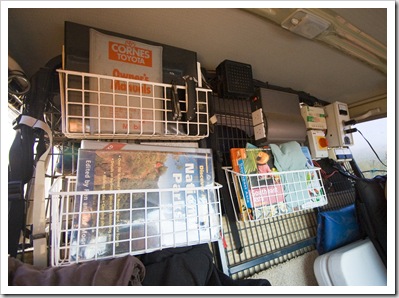
Book racks (times three), a two-output pure sine wave inverter, the little black box at the top is the speaker for the HF radio, solar controller top right and the red knob is the on/off switch for the solar panelsA few people have asked about the gadgets and gizmos The Tank has to offer, so I thought I’d put together a quick post detailing all the ins and outs of the place we call home.  The Tank is a Toyota LandCruiser HJ75RV Troop Carrier.  It has a 4.2L inline six cylinder naturally aspirated diesel engine, five speed manual gearbox and dual range transfer case.  Low range is quite amazing, I think I could crawl faster than first gear in low range.  The drive-train also has front and rear electronic differential locks.

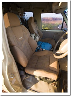
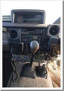
The interior of the cab to begin with…  The cargo barrier behind the two front seats is jam-packed with three book racks filled with everything from outdoor books to 4WD guides and instruction manuals.  Next to the top book rack is the speaker for our Codan HF radio, next to that is a two-Pneumatic Recaro seatsoutput pure sine wave inverter that generates 240V for any Australian appliances we need to use.  The three white boxes at the top right of the cargo barrier are all involved with the solar panels that sit on the roof of The Tank: there is an electronic solar controller which serves the dual purpose of making sure that nothing discharges our batteries too quickly; the red knob is Bottom right is the HF radio control unit, underneath the car stereo is the UHF radio transceiver and up top is the auxillary fuel tank gaugethe master on/off switch for the solar panels (in case we’re driving a long haul and don’t want the batteries getting overcharged); and the large white box with black chords coming out of it is two 12V outlets as well as three gauges showing how much power the panels are generating and how much power we’re using.  The Recaro seats to the left that have been put in place of the original seats can be raised or lowered by inbuilt electric motors and have pneumatic lumbar supports, inflated using a little pump on the side of each seat.  The seats are a godsend for bumpy roads, they have supports around the lower back that can be tightened or loosened depending on the road.  The photo to the right shows the two communication radios in The Tank: the box at the lower left of the photo is the head unit for our Codan HF radio and the black box underneath the car stereo is a regular UHF radio (or a CB radio).  The HF radio is our emergency communications device, we haven’t needed to use it yet (and hopefully we don’t have to!).  The HF radio has a large transceiver that is bolted to the rear of the cargo barrier out of view, on a good day the HF radio has a range of over 3000 kilometers so can call pretty much anywhere in Australia (I tested it in Adelaide by calling a station in Alice Springs over 1500 kilometers away).  Or if we’re bored we can listen to the fishing boats in Taiwan as they pirate the HF emergency bands on the other side of the globe!  The UHF radio is mainly for listening to truckers and asking Reg and Marg if it’s safe to pass them because we can’t see around the caravan they’re towing.

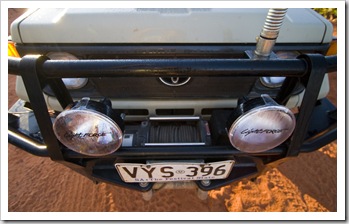
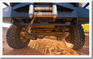
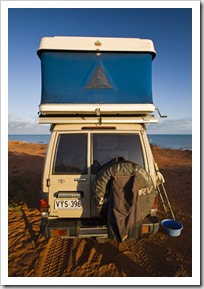
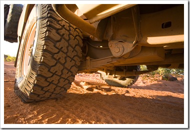
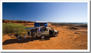
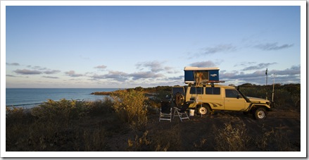
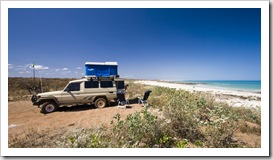
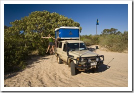
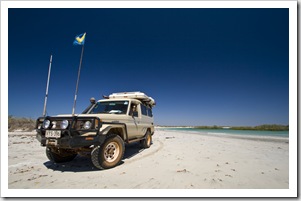
LightForce 170 Striker driving lights, a Warn 10000 pound electric winch and the spring at the base of the HF radio antennaThe cable coming out of the winch, base of the ARB bull bar, Cooper Discoverer S/T-C tires and our Old Man Emu suspensionNow to the outside.  The front of The Tank is endowed with a sizeable ARB bull bar which wraps around the sides of the vehicle and supports steps for getting in and out of the cab.  In the driver’s side of the bull bar is a small diaphragm pump that hooks into the vehicle’s heating system and enables us to have hot showers when in the bush (something we used a lot on our trek across the Gibb River Road and up to Kalumburu).  There’s a 10000 pound Warn electric winch that is visible all coiled up in-between our two LightForce 170 Striker driving lights, which are so bright they have been known to make koalas fall out of trees at night.  Old Man Emu suspension and shocks support the axles and we have Cooper Discoverer S/T-C anti-chip tires on all four wheels.  We also have two spares, one on the MSC gear bag hanging off one of the spare tires (we use the bag for carrying firewood), Zifer Maggiolina rooftop tent and underneath that is the rolled-up Fiamma F35 awningback of the Tank and one tucked away in the cab just behind the cargo barrier.  Our pride and joy is pictured in the photo to the left: To the right of the leaf spring is our 70L stainless steel water tankthe Zifer Maggiolina rooftop tent (AKA The Blue Room).  The tent is made by an Italian company and takes only about two minutes to put up and take down.  The base and roof are made from fiberglass while the blue sides are constructed from sail cloth, making it impervious to both wind and rain.  The sides of the tent can be rolled up to reveal fly netting and there is a small window in each end, enabling us to open it up for a lot of air on hot nights.  There’s a queen sized mattress inside, giving us both plenty of room and me just enough length to lie flat!  We get a lot of comments on the Maggiolina, we’ve only seen one other on the road, it makes it so easy to be mobile.  Also in the photo to the left is our MSA gear sack hanging off the spare tire, we use the sack for material we don’t want inside the cab with us, usually it’s full of firewood.  The shot to the right shows our 70L stainless steel water tank tucked in behind the rear leaf spring.

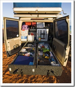
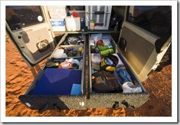
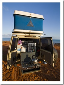
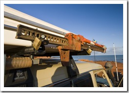
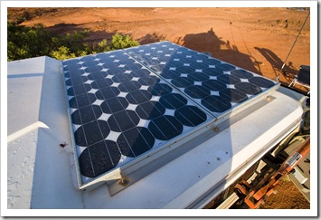
Our Engel 80L dual compartment fridge/freezer, 15L water container and 1.8 metre roller drawers filled with kitchen gear on the left and miscellaneous items on the rightThe roller drawersOur stove sits on a removable shelf on the end of one of the roller drawers, the gas for the stove is located inside the cab and can be hooked up with an extension gas lineThe entire rear section of The Tank behind the cargo barrier is fitted with full-length 1.8 meter roller drawers which house everything from axes and sledge hammers to kitchen utensils and fishing tackle.  They can hold an amazing amount of stuff.  We have mainly kitchen wares in the left drawer and tools and miscellaneous every day items in the right.  Our other pride and joy is the 80L The bed up and rear awning extendeddual-compartment Engel fridge/freezer pictured to the right, it can hold enough food for us for around three weeks and does an amazing job of keeping everything cool (or frozen) in the heat.  We have a small marine stove that runs off a gas bottle located in the cab, the stove sits on a removable shelf at the end of one of the roller drawers (pictured above).  The gas to run the stove has a long extension hose on it so we don’t have to lug around the gas bottle every time we use the stove.  Not visible here Dave Stuart's high-lift jack, the top of the air snorkel on the right and out two antennas: the left is the HF entenna and right is the regular UHF antennaare five 50L plastic tubs that we use for storage: one for dry food, one for each of our clothes, one for wetsuits and snorkeling gear 180W of solar panels make us pretty much self sufficient, they can run the fridge as well as charging our three batteries during the dayand a final one for our shoes.  Also not visible are two tool boxes inside the cab filled with every tool I could think of needing in The Outback.  There’s a Fiamma F35 awning affixed to the roof racks underneath the bed above the rear doors, it’s extended in the shot to the above left and is very handy for hot days when shady trees are few and far between.  On the roof on the bed, shown here to the left, are two solar panels producing around 180W of electricity when they’re in the direct midday sun.  That’s enough power to run the fridge and at the same time charge the three batteries we carry with us, making us pretty much self sufficient wherever we go.  The final shot here to the above right shows our high lift jack bolted to the roof racks, the top of the air snorkel and our two radio antennas fixed to the top of the bull bar. 

That’s about it, our home for the time being!

Share

The Dampier Peninsula

Australia, Western Australia 8 Comments »

The Tank on the road into Quondong PointOur camp spot at Quondong PointAfter a fantastic week back in civilization in the relaxing surrounds of Broome (we’re spending some more time in Broome next week so a post on Broome is on its way…) we again removed ourselves from the beaten path and headed up the Dampier Peninsula, the spit of land extending north from Broome and Derby to its tip at Cape Leveque. 

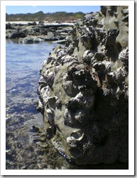
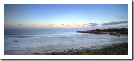
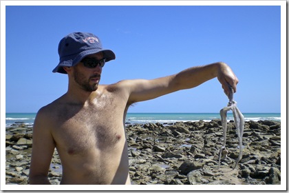
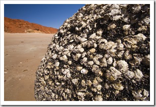
Lisa harvesting oysters at Quondong PointThe seemingly endless rock oysters at Quondong PointWe ran into a knowledgeable old fellow in Gregory National Park that clued us in on one of Sunset from our camp spot at Quondong Pointhis favorite beach camping spots in Australia at an area called Quondong Point (S17°34.974′ E122°09.791′).  Quondong is located only around 70 kilometers north of Broome on the road to Willie Creek Pearl Farm.  It’s amazing that a place like Quondong still exists so close to the Gibb River Road and Broome: the area is an unspoiled coastal Our camp spot atop the dunes at Quondong Pointwilderness without a sign of civilization or development whatsoever.  Our camp for the night was atop the dunes, overlooking the majestic Check out the size of that abalone Jezzy and Paul!turquoise of the Indian Ocean, an amazing spot with a beautiful white sand swimming beach only a few hundred meters away.  We spent the afternoon exploring the tide pools at the tip of Quondong Point, filling our stomachs with the plethora of fresh oysters off the rocks and I also nabbed a sizeable octopus, which we had for dinner that night.  To cap it off as we sat there watching the sun set we had some whales breaching a few hundred meters offshore, slapping the water with their tails and blowing huge spurts of water into the air. 

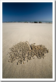
Sand crabs working the sand into tiny balls on the beach at Quondong PointSam holding dinner (an octopus) at Quondong PointDriving between Quondong Point and James Price Point 

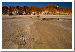
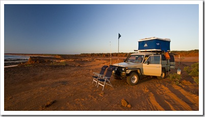
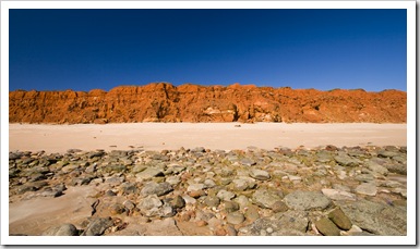
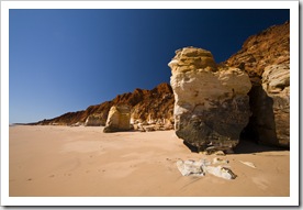
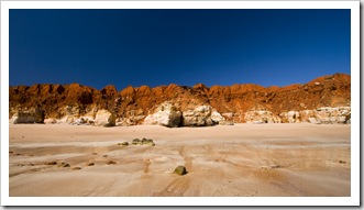
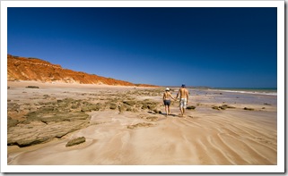
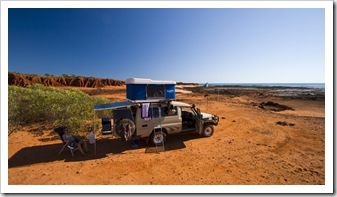
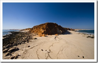
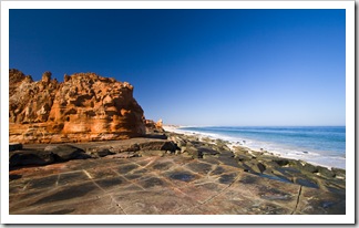
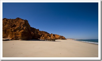
Western AustraliaSam fishing off the rocks at James Price PointJames Price PointThe next day we explored a little further north along the same road, making our way to the next point along the peninsula: James Price Point (S17°29.017′ E122°08.943′).  We thought that Quondong Point was amazing, but James Price Point was really something else.  The turquoise water bordered by white sand and brilliant red cliffs stretching north up the peninsula was so picturesque.  Amazing colors and so much sea life in the tide pools, we saw a couple of sizeable sharks trolling the shallows at high tide as well as sting rays and more octopus (we stayed out of the water after seeing the sharks!).  We camped for the night on the edge of the rocky promontory with a fantastic view of the ocean and cliffs to the north.  One of our favorite camp spots of the trip so far.  It’s a little sad that the Western Australian government has just approved the construction of a natural gas plant at James Price Point, we’re lucky to be able to experience it whilst still a beautiful unspoiled wilderness.

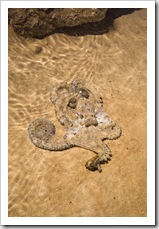
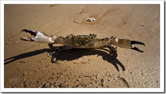
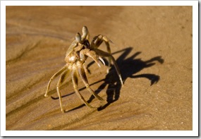
On the rocks at James Price PointOysters on the rocks at James Price PointAn octopus on the beach at James Price Point Camping on the rocks at James Price PointAn octopus on the beach at James Price PointJames Price Point James Price PointAn angry mud crab at James Price PointJames Price Point A sand crab on the beach at James Price PointWalking down the beach at James Price PointCamping on the rocks at James Price Point 

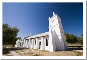
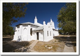
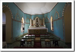
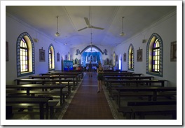
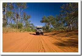
View of Middle Lagoon from our campsiteThe church at Beagle BayAfter a couple of brilliant days on the Willie Creek Pearl Farm road we made our way back to the main Cape Leveque Road and north up the Dampier Peninsula.  The road up to Beagle Bay was quite a challenge, a mix of sand and hard clay that sloped inwards instead of the humped roads typical to the Kimberley that are formed to channel water off the road instead of into its centre.  There were points along the trek where Lisa was bracing herself against the roof and window, getting ready for us to tip into the centre of the track!  We stopped off at the Aboriginal community of Beagle Bay to admire the beautifully maintained church at the community’s mission and then pushed onto our next stop at Middle Lagoon.  Middle Lagoon (S16°46.505′ E122°34.622′) is a well provisioned campsite run by the local Aboriginal community with surely some of the best bush showers in the country, we’re not used to such awesome pressure!  Upon our arrival we weren’t sure where the ‘lagoon’ in Middle Lagoon was located but as the tide receded the bay in which we were camped transformed into a huge lagoon hemmed in by the tidal reef forming a small opening to the ocean in the distance.  The tidal movements in this area of the country really are astounding…  It was another beautiful sunset from our camping spot in the dunes, we’re going to take the sunsets for granted before too long!

The church at Beagle BayThe church at Beagle BayThe church at Beagle BaySam enjoying an afternoon beer by the fire at Middle Lagoon View of Middle Lagoon from our campsiteLisa and The Tank at our campsite at Middle LagoonThe road from Middle Lagoon

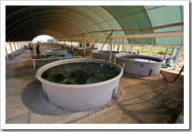
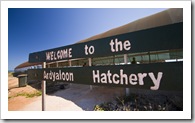
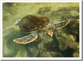
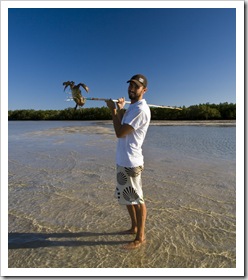
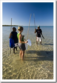
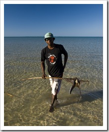
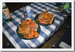
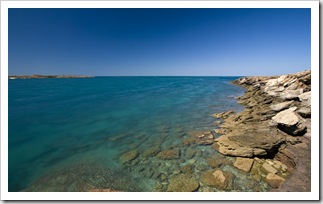
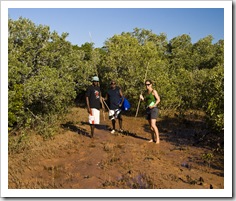
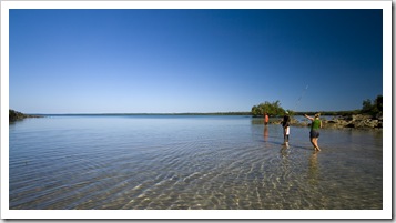
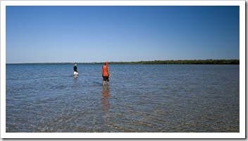
The hatchery at One Arm PointThe hatchery at One Arm PointThe main road traversing the top portion of the Dampier Peninsula is paved from just south of Beagle Bay to the peninsula’s tip, a nice change from the sand and awkward camber of the sandy road on the way up.  We drove to the very tip of the peninsula, an Aboriginal community at One Arm Point (S16°25.266′ E123°01.967′), taking a look-see at the community’s hatchery while in town.  The color of the water at the tip of the Dampier was amazing, sparkling turquoise as far as the eye could see dotted with thousands of islands and tidal reefs to the north.  The community at One Arm Point A rescued turtle at the hatchery at One Arm Pointharvests a certain type of shell from the outer reefs, operating the hatchery to ensure that shell supplies are maintained for future generations.  The Bardi Aboriginal people boil the shells, remove the meat for food and then export the empty shells to Italy where the Sam scores a mud crab at GambananLisa with her spear at Gambananpearl-like compound in the shell is used to make metallic paints.  We enjoyed quite an educational walk through the community’s hatchery, where as well as shells and fish there were a couple of very inquisitive turtles, rescued from the gulls by some of the local boys.  We spent the night just outside the One Arm Point Octopus for dinner at Gambanancommunity on an Aboriginal property called Gambanan, fishing for the afternoon without pulling in much more than a few Parrot Fish.  We did have a fantastic time tagging along with some of the local Aboriginal boys as they went mud crabbing at low tide in the tidal flats next to nearby mangroves.  Armed with a spear each, the five of us (three of them as well as Lisa and me) waded through the Our dinner of mud crabs after a successful afternoon of spearingshin-deep water watching for dark patches in front of us.  Dark patch = mud crab.  It was a lot of fun learning how the Bardi people have hunted for thousands of years.  Lisa and I returned home with four good-sized mud crabs as well as about six extra claws, while the Aboriginal boys took home a large octopus (the Aboriginals usually tear off the claws from female crabs as they grow back in around six months, this leaves the females in the water to breed).  It was some of the most exquisite crustacean meat I’ve ever tasted!  One of the boys speared a large Black Tip Reef Shark in the shallows but the shark spun around and chomped the spear in half, dodging the fry pan for the night.  We gorged ourselves on crab and later that night drove back into the community at One Arm Point to see a local Broome band, the Pigram Brothers, play a concert at the school.  A day full of culture for us!

 Polishing shells at the hatchery at One Arm PointView of the ocean into King Sound from One Arm PointOur fishing spot for the afternoon at Gambanan Lisa with two of the Aboriginal fellows from Gambanan on the way through the mangrovesLisa with two of the Aboriginal fellows from Gambanan wading the mudflats in search of crabsTwo of the Aboriginals from Gambanan hunting for crabs 

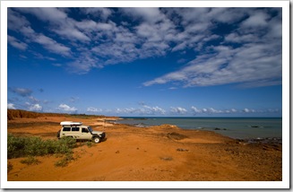
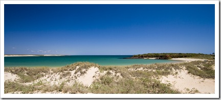
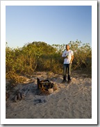
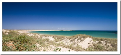
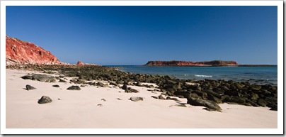
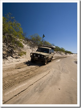
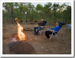
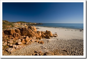
The white sandy beach at Cape Leveque with Leveque Island on the rightOur last morning on the Dampier Peninsula was spent at the famous Cape Leveque (S16°23.787′ E122°55.627′).  Cape Leveque is a majestic archipelago of white sandy beaches and brilliant red cliffs The boggy sand track back from the beach at Chile Creekdropping into the turquoise waters of the Indian Ocean.  There is a very well provisioned campsite as well as five star bush villas at the cape operated by APT in conjunction with the local Aboriginal people.  We hiked around the tip of the cape at low tide and had a quick snorkel at the northern beach before spending a few hours swimming and relaxing on the pristine white sand.  Cape Leveque seemed to be quite a popular spot for campers Enjoying a beer by the campfire at Chile Creekmaking their way up the Dampier Peninsula, the campsite was booked out a for a week in advance when we arrived!  We spent our final night on the Dampier Peninsula at Chile Creek (S16°32.121′ E122°52.401′), another campsite run by one of the Bardi Aboriginal communities.  There were some fun sand 4WD tracks leading out to the coast from the community, The Tank performed exceptionally as always, making its way through the soft sand better than we could walk it.

A fantastic week exploring the Dampier Peninsula, the beaches and color of the ocean was just amazing.  So glad we ran into that fellow in Gregory National Park, Quondong Point and James Price Point were two of the best bush camping spots we’ve found so far.

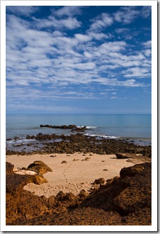
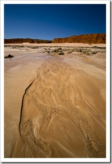
The eastern beach at Cape LevequeThe tip of Cape LevequeThe western beach at Cape Leveque The western beach at Cape LevequeOn the sand at Chile CreekThe beach at Chile Creek Lisa exploring the Mars-like rock formations at Chile CreekOn the sand at Chile CreekFor the ladies...Enjoying a beer by the campfire at Chile Creek

Share
    • April 2024
      S M T W T F S
       123456
      78910111213
      14151617181920
      21222324252627
      282930  
  • Next...

      A couple of months cruising up Australia's east coast...