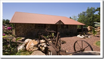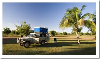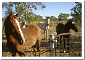
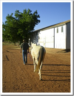
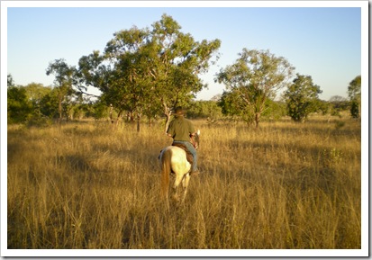
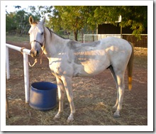
 While in the Kimberley amongst so many cattle stations one of the things I wanted to do most was ride a horse on a station. It was difficult to find a station that offered this due to insurance reasons but we finally found a station just outside of Derby that did. Birdwood Downs Station offers camping and horse riding and is run by a friendly staff. I dropped Sam off in Derby and headed out to the station in the late afternoon for what I thought was going to be a trail ride with lots of other tourists. When I arrived, to my surprise, it was only me and the guide, Greg. We walked out to a paddock and started yelling for the horses, it took them a while to turn up but when they did there were about seven of them running in, eager to be the one selected to go for a ride. Greg handed me a halter to put on my horse, Oro. I had to
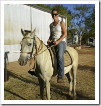
 keep a keen eye on what Greg was doing to make sure I put it on correctly. Next we walked our horses back to the barn to saddle them up, again Greg just handed me a brush and then said, “right, put this pad on, then this blanket and then throw the saddle on”, I think he thought I knew a bit more about horses than I did. Once I got the saddle tight enough we jumped on and headed
 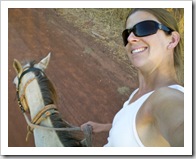 out. The ride was amazing, we went through a few gates into an open pasture where there were wallabies jumping away and the sun was slowly setting so the entire surroundings had a deep orange hue. I had to remember what to do in the saddle when we began to trot and received some good pointers from Greg which made trotting a lot more comfortable as my bum bounced. We approached another gate and he said, “what we’re going to do is ride up alongside the fence, then
  press the horse in with your left leg to get him to move sideways, then bend down, open the gate and walk through.” I thought to myself, “yea, right!” but gave it a go anyway. Once I gave Oro the commands and had the gate open he
  knew what to do and pushed the gate as we walked through. Then the same thing on the other side to close it. I was quite impressed with how well Oro was trained and that we completed the task with no issues. Then back to a trot through the pastures and we came across the small herd of cattle (about 40 head) owned by the station. Greg mentioned they were in the market for a bull to expand their herd. The sun was setting deeper at this point and was a big orange ball in the sky, it was just amazing. Back to the barn, with the station dog following us the entire way, we dismounted and relieved the horses from their sweaty saddles. I was on a real high driving back to Derby on the country roads thinking what a treat it turned out to be having a private horse riding lesson on an Outback station.
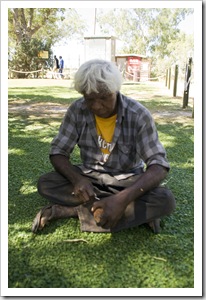
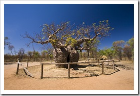 Fitzroy Crossing was our first stop on the bitumen after completing our almost three week trek across the Gibb River Road. Fitzroy is pretty much an Aboriginal community along the Great Northern Highway, a stop for people driving the stretch between Kununurra and Broome. Fitzroy Crossing earns its name from being located alongside the Fitzroy River, one of Australia’s largest rivers, at points being more than 15 kilometers wide during the wet season. We stayed at one of the few caravan parks in Fitzroy, which also happened to be located behind the only pub in town. It’s illegal for liquor to be sold in Fitzroy prior to 12:00PM, at 11:45AM we noticed a sudden influx of taxis dropping off Aboriginals around the entrance to the pub, where it seems almost the entire town of Fitzroy Crossing as well as stockmen from the surrounding cattle stations spend their Saturday afternoons. We didn’t
 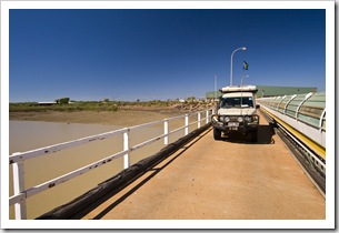 have much to do except change a tire on The Tank so joined the fray at the Crossing Inn, at times being the only two white faces amongst the 100+ patrons at the bar. We enjoyed watching a fantastic game of footy between the Western Bulldogs and West Coast Eagles as well as some quite interesting conversations during the afternoon, definitely an eye-opening but quite fun experience!
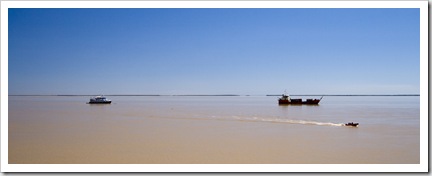
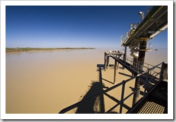
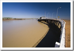
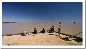 Our final stop before spending some time in Broome was Derby, a small port town located at the mouth of the Fitzroy River. Derby has the largest tidal range in the world, the ocean at the port moves a massive 12 meters during peak tides! We took a drive to the port as the tide was rising and were amazed at the speed with which the water was rising, boulders on the shoreline would disappear underwater before our eyes. The water moved so quickly that the tidal movement was creating huge wakes around the supports for the jetty, it was like watching the water move up the beach in fast forward. The Kimberley is home to quite a number of mineral leases, the pier at Derby sees two cargo ships filled every day with nickel and uranium from the nearby mines.
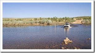
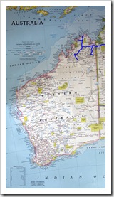
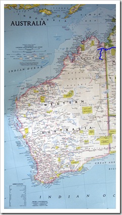
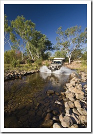
 After our few nights at El Questro we began our trek across the Gibb River Road. Arguably one of Australia’s most well-known 4WD routes, the Gibb is a rocky, corrugated stretch of dirt making its way from just west of Kununurra to the coastal town of Derby. This section of the Kimberley is home to a collection of million acre cattle stations that these days cater more to adventure-seeking tourists in 4WD vehicles than they do to the production of beef. Approximately halfway along the Gibb the road tees off and heads north to Kalumburu, a small
 Aboriginal community on the coast, and also
  to the famous Mitchell Plateau and Mitchell Falls. After quite a few visits to the sole RAA contractor during our time in Kununurra we became familiar with the kind of havoc the Gibb and especially Kalumburu Roads can wreak on vehicles. With this in mind we took our time to travel from Kununurra to Broome, with fingers crossed that The Tank would make the journey in one piece!
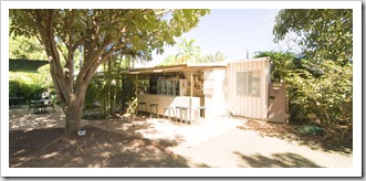
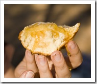
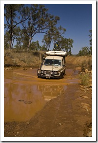
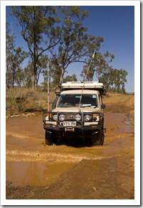
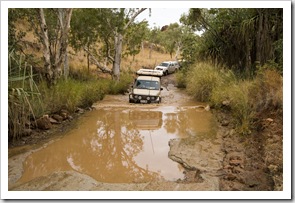
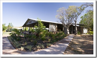
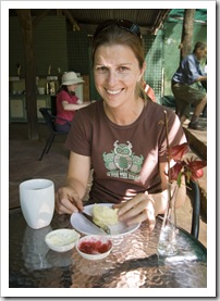
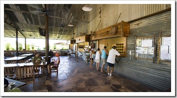
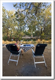
One of the other quite commercial tourist spots along the Gibb is a short drive west of El Questro: Home Valley Station. While Home Valley doesn’t boast the natural beauty of the wilderness at El Questro, a pretty penny has been spent on the facilities and campgrounds. We dropped in for a peek (above left), a very nice spot, but wanting to make 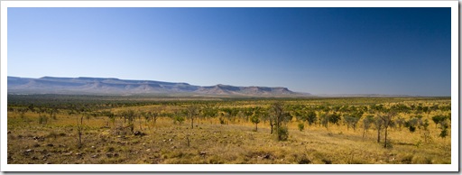 ground we continued west. After a couple of hours of corrugations, a few creek crossings and an easy hop across the Pentecost River we were coaxed off the road late in the morning by a makeshift sign advertising fresh scones with jam and cream at Elenbrae Station (S15°57.881′ E127°03.584′). A morning Devonshire tea was a welcome treat and break from the dust, we liked Elenbrae so much that we ended up staying the night in the station’s campground. The family running Elenbrae these days have nothing to do with the 3000 or so cattle roaming their million acre property, instead choosing to contract out the cattle mustering and concentrate on scones and camping facilities for tourists like us. The campsite was a lot of fun, situated right next to a welcoming waterhole in which we escaped the heat a couple of times. The donkey used to heat the water at Elenbrae was the first we’d seen since our night at Farina way back in South Australia.
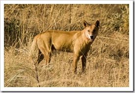
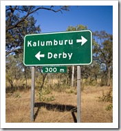 Monday, July 20 we pushed on early from Elenbrae for around another 70 kilometers on a surprisingly smooth road to the Kalumburu Road turnoff, spotting the dingo pictured here just before the junction. We’d heard some horror stories from travelers about Kalumburu Road; it was very heavily corrugated in parts, but the first 60 kilometers of the road to Drysdale Station were devoid of any washouts or bulldust pits so we were pleasantly surprised. Drysdale (S15°40.874′ E126°24.299′) offers camping facilities at the station as well as having a small store and a couple of diesel pumps. The $1.95 per liter ($USD6.13 per gallon) made my wallet burn even more than the $1.85 per liter we paid at El Questro for a
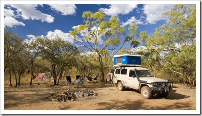
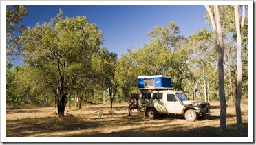
  small top up! Instead of staying at the station homestead we opted to camp next to one of
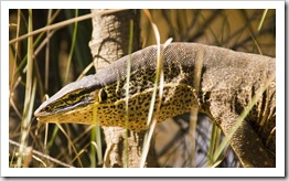
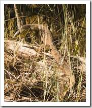
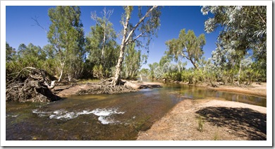
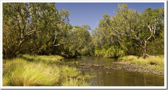
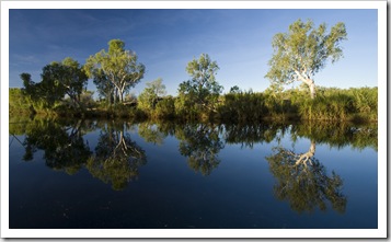
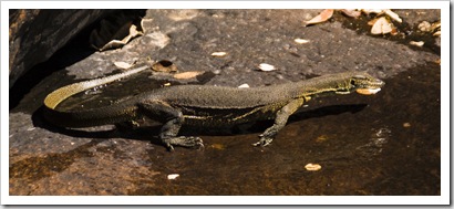
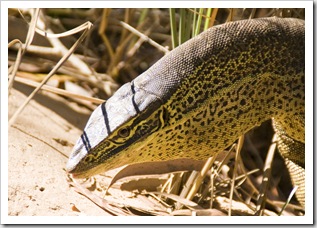
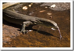
 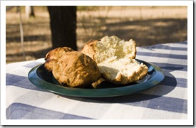 the station’s waterholes five kilometers up the road. The campsite at Miner’s Pool was very picturesque, situated alongside the Drysdale River with swimming at the doorstep and plenty of shady trees. The massive two meter Perentie pictured here made Lisa almost jump out of her skin as she was walking along the banks to the swimming hole, definitely the largest lizard either of us has ever seen. The scones at Elenbrae the day before inspired me to cook up some bush bread of our own, the damper scones pictured here a very welcome snack following our afternoon swim.
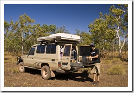
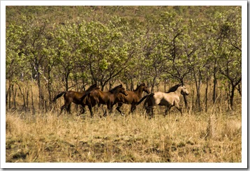 On Tuesday, July 21 we got an early start from Drysdale Station and headed north for Kalumburu (S14°17.752′ E126°38.644′). A roughly 200 kilometer slog, we stopped a number of times along the way with the dual purpose of resting the driver and giving The Tank’s suspension a bit of a breather. The Kalumburu Road was very rough in patches, probably the worst corrugations we’ve encountered thus far, whilst in other sections it was as smooth as the pavement. Some of
 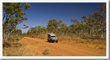 the grossly corrugated sections were absolutely terrible, we just wanted to be somewhere else and regardless of where
 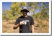 we drove on the road or at what speed we just had to hold onto our teeth! The last 60 kilometers or so into Kalumburu were probably the worst, the road was formed over natural terrain so had everything from washouts with boulders the size of our rims to corrugated sand. Add to that the odd cow to slow down for and you’ve got a very interesting drive! There were some beautiful brumbies (wild horses) scattered across the plains into Kalumburu, the small Aboriginal township definitely a welcome sight after four hours of driving.
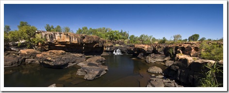
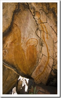 After four nights of fishing, camping and a dose of history at Kalumburu we headed back down the Kalumburu Road bound for Mitchell Falls (S14°49.233′ E125°43.080′). A German couple we met on the beach at McGowan’s Island suggested that we stop for a night to camp alongside the King Edward River on our way to Mitchell Falls. So after two hours of driving back along some very ordinary road from Kalumburu we setup camp alongside the King Edward at a beautiful spot next to the river (S14°53.228′ E126°12.183′). Such a great location, camping alongside the river with Corellas and Butcherbirds ever-present, it was very relaxing and for the first night we had the spot almost all to ourselves. At almost 300 meters above sea level and quite a few large waterfalls from the ocean our campsite was too high for Estuarine Crocodiles, so we enjoyed an afternoon of swimming at a secluded waterfall and also put together a batch of cinnamon-raisin damper. (We did see a couple of freshwater crocodiles though, so were a little wary when taking a dip!) There was also some interesting Aboriginal rock art near our campsite, some of the figures resembling aliens were a little creepy though. After driving into Mitchell Falls and seeing the hot, dusty campsite in the National Park we ended up returning to our spot alongside the King Edward River for a second night after our hike and helicopter ride.
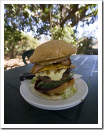
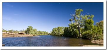
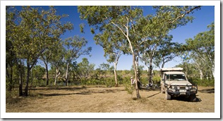
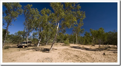
 For our eighth and final night along the Kalumburu Road we stopped alongside the Gibb River a few kilometers north of the turnoff back onto the Gibb River Road. We made a quick stop-off at Drysdale Station for a refuel and one of the biggest hamburgers known to man (which we split), it sustained us well into the afternoon, no need for afternoon tea! A friendly family we met in Keep River National Park clued us in on a bush camping spot next to the Gibb, we found it after a little searching and what a pretty spot it was. The Gibb
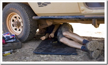
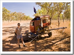
 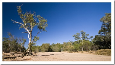 River was nothing more than a trickle but the massive amount of water that must flow during the wet was evident from the almost 100 meter wide sandy banks on which we camped. We were welcomed to our camp spot by a lone, young bull and by the end of the evening were surrounded by more than six inquisitive young bovines. They edged ever closer as the sun receded, always keeping a comfortable distance but getting quite close as we sat around the fire in the dark. We spent the afternoon on our first significant bush repair work on The Tank, a plastic nozzle on the pump out of our drinking water tank snapped with the endless corrugations of the Kalumburu Road. It took us quite some time underneath the car trying to repair it while at the same time attempting to salvage our drinking water. We had it patched up after an hour or so, luckily we were camped next to fresh water so we could rinse off after squirming around in the dirt. We found an indispensible use for Sharpie textas (markers): they’re fantastic for temporarily plugging water hoses!
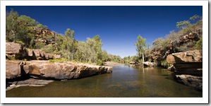
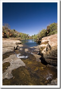 On Tuesday, August 4 we set off with sights set for a night at Mount Elizabeth Station. Roughly 100 kilometers from our campsite next to the Gibb River, we only had to drive a few kilometers before we were off the Kalumburu Road and back onto the Gibb River Road. Driving on the Gibb River Road again was like a highway compared to the rocks and corrugations of the Kalumburu and Mitchell
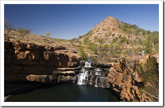
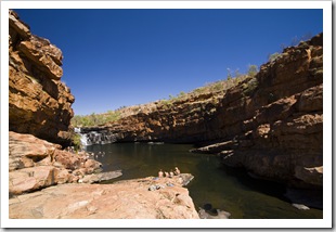
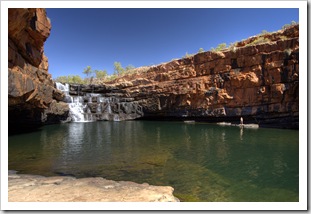
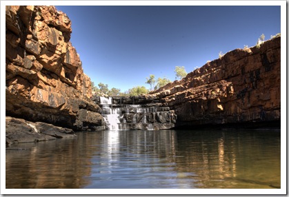
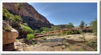
  Falls Roads, so pleasant to be able to hear each other talk and listen to the words of the music whilst driving! We drove into Mount Elizabeth Station for a look-see but, deciding that the campsite next to the station wasn’t too crash hot, decided to keep moving and camp for the night at Manning Falls (S16°39.458′ E125°55.744′ ). We took a midday stop at Barnett River Gorge for a swim, five kilometers down a rough road that tees off the Gibb River Road, then another half hour walk to the swimming hole. It was a beautiful spot, again all to ourselves, very refreshing.
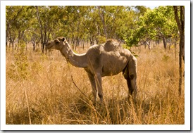
 In the afternoon we continued on for another 30 kilometers from Barnett River Gorge to Manning Falls, along the way running across the famed Camel Man, a
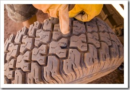
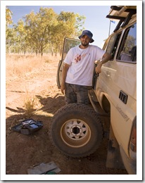
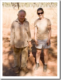
 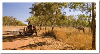 German-born fellow who has been walking around Australia with his pair of camels for seven years (before that he rode his bike for eight years)! A friendly little chap with a strong odor about him and minus a few teeth, we had a good chat while he was taking his afternoon rest. It turned out to be very fortunate that we stopped to chat to him as when Lisa disembarked The Tank she noticed a hissing sound from the rear passenger tire, our first puncture of the trip. It seems that some of the shale they use to smooth the Gibb River Road found its way through our tread. Lucky we stopped when we did, if we’d kept going we could have damaged the tire rather than being able to quickly patch it up on the side of the road.
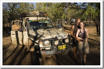
 We ran into Thorsten and Henriette again at Manning Falls, a fun German couple who are touring Australia for six months and have been following a similar route to us since all the way back in Kakadu National Park. We enjoyed the night sitting by the fire having a chat to some similarly-aged people, a lot of the other travelers in this area of the country are grey nomads or people traveling in 4WD club convoys. We definitely all enjoyed the bottle of Seppelts’ Muscat we’d been carrying since Adelaide, a good way to warm our tummies around the fire.
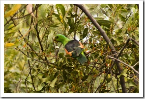
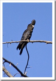
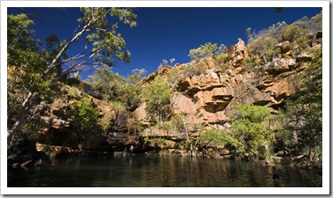 After a couple of relaxing days at the spectacular Manning Falls we pushed on to our next sleeping spot at Bell Gorge, approximately 100 kilometers further west along the Gibb River Road and our final stop on the Gibb proper. Fifteen kilometers west of Manning Falls we made a quick morning stop at Galvans Gorge, a nice swimming hole at the base of a waterfall a short walk into the bush off the road. It was only 8:30AM and thus was still a little cold for a swim but we were fortunate to run into a small flock of Red-Tailed Black Cockatoos, a bird we’ve been trying to get close enough to for a photo since we first encountered them at Katherine Gorge.
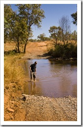
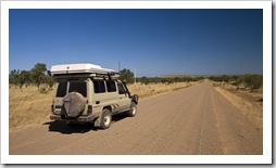
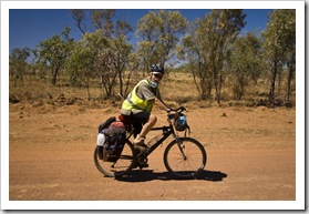 Our final day of driving along the Gibb River Road took us from Bell and Lennard River Gorges to the turnoff down to Windjana Gorge and Tunnel Creek National Parks. Both of us were quite ready to be on the paved road again after two-and-a-half weeks of corrugations and dust, our stop for our first night back in civilization is Fitzroy Crossing. The Gibb River and Kalumburu Roads were an awesome experience, some of the areas up north toward Kalumburu really made us feel like we were in some very remote country. The gorges were amazing, as were some of the waterfalls and the fishing up near Kalumburu. The Gibb is a busy place these days, gone are the days of not seeing anyone from one day to the next and plentiful bush camping locations, we won’t be surprised if our entire route is paved in a decade or so. At least we can say we crossed the Gibb and made it to Kalumburu when it was still a famous 4WD trek…
Planet View: S17°24.903′ E124°56.604′ (Windjana Gorge) and S17°36.385′ E125°08.715′ (Tunnel Creek)
Street View: S17°24.903′ E124°56.604′ (Windjana Gorge) and S17°36.385′ E125°08.715′ (Tunnel Creek)
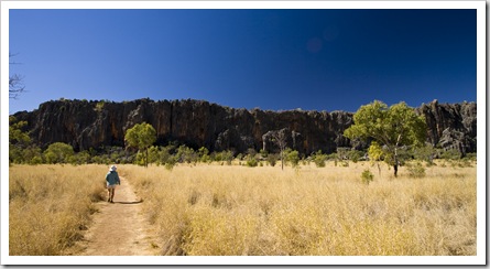
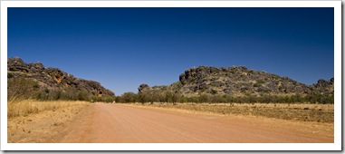
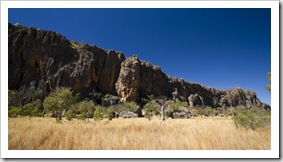
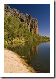
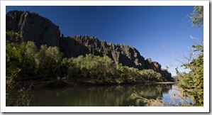
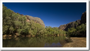
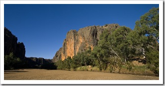
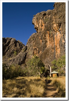
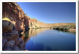
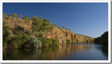
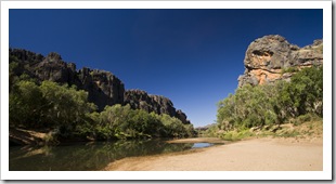 Our first stops officially off the Gibb River Road (we’re now on the Leopold Downs Road to Fitzroy Crossing) took us to Windjana Gorge and Tunnel Creek. In an area of the country where gorges abound we figured that the single one declared as a National Park must be pretty special. Windjana Gorge is effectively a cut through a long
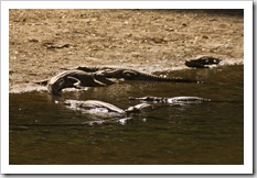
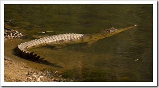
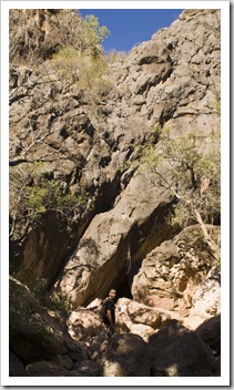
 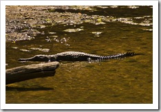 north-south range of rock, forming a string of still pools along its length that are favored by a plethora of Freshwater Crocodiles. We hiked the length of the four kilometer gorge in the hot afternoon sun, thinking that as with the rest of the gorges in the Kimberley we’d be rewarded with a swimming hole somewhere along the way. Assumption caught us unawares, there were no swimming holes and we instead had to brave the heat without a dip, but the majestic rock faces and crocodiles kept us busy along the way. One of the young kids we encountered said he’d counted 74 crocodiles lying on the banks of the gorge, it was definitely the most concentrated population of crocs we’ve seen in the Top End. I almost stepped on a small one whilst looking through the camera viewfinder, gave me quite a fright!
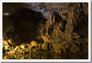
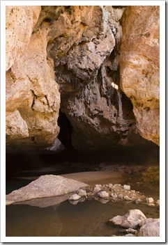
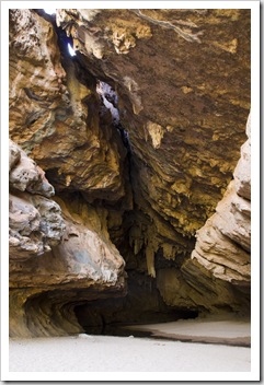
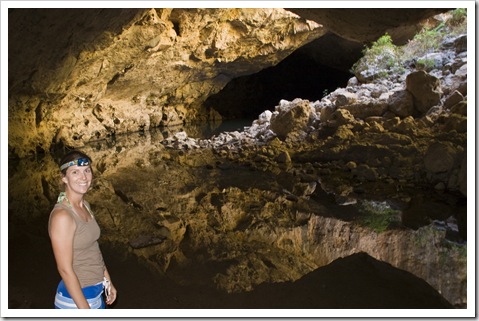
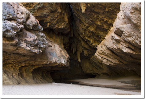
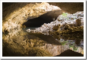 This morning on our drive to Fitzroy Crossing we stopped off at Tunnel Creek National Park. Located along the same range as Windjana Gorge, Tunnel Creek is a roughly 700 meter long stream that winds its way through the rock as an underground waterway. Hiking the length of the creek was a lot of fun, definitely one of the highlights of the Kimberley. We encountered Cherubin, fish, noisy bats, eels and even a baby Freshwater Crocodile in the dark surrounds of the underground creek. There was a halfway point where light could enter, otherwise for the entire length of the creek all we had was our lights. A little eerie in there, glad that the only crocodile we saw was a few feet long!
Planet View: S16°39.458′ E125°55.744′
Street View: S16°39.458′ E125°55.744′
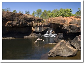
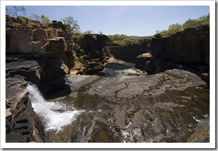
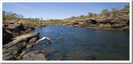
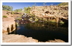
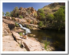
Definitely one of the best swimming holes we’ve seen throughout the Northern Territory and Western Australia, we stayed at Manning Falls for two nights to enjoy the beautiful gorge and falls. The falls are located on private property and the campsite is run by the friendly family that owns Mount Barnett Roadhouse, seven kilometers back up the track on the side of the Gibb River Road. The campsite is located on the edge of Manning Gorge with a fantastic swimming hole meters from the main camping area, cold showers and flushing toilets were a bit of a treat after bush camping for the previous four days. Manning Falls were a solid 45 minute hike up the gorge but well worth the hot trek, an amazing plunge pool surrounds the base of the falls, we stayed to swim for a few hours before walking back to camp for lunch. The plunge pool was quite deep and made for some fun jumping off the rocks above, the sandy cave behind the falls themselves was also a fun way to escape the sun. Crossing the river at the beginning of the hike was quite a laugh, there were small Styrofoam boxes provided to place one’s belongings which must then be guided across the chest-deep water to the other side. We can imagine that quite a few cameras and shoes have found their way into the water across the slippery rocks!
Planet View: S14°49.233′ E125°43.080′
Street View: S14°49.233′ E125°43.080′
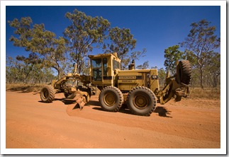
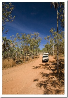 There’s not a single stretch of road about which we’ve heard more horror stories than the 80 kilometers between the Kalumburu Road and Mitchell Falls. Since leaving Kununurra we’ve heard everything ranging from it being closed to someone dying along its length! Fortunately for us we discovered ahead of time that a grader was working on the road so chose to spend a few days at
 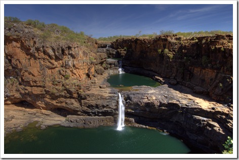 Kalumburu to let the grader finish before making our way in to the famous waterfalls. We camped the night prior at a fantastic campsite alongside the King Edward River and made an early start with the hope of making it to the Mitchell Falls helicopter base before all the day’s flights were booked out.
As we were driving into the falls we were thanking our lucky stars that we chose to visit Kalumburu first, some other travelers had reported that they’d averaged 18 kilometers per hour on the 80 kilometer road into Mitchell. But as we waited for the grader the road was in a lot better shape by the time we drove in, enabling us to average around 50 kilometers per hour without pushing it to much, requiring only about an hour and 40 minutes to make it from our campsite to Mitchell Falls Base.
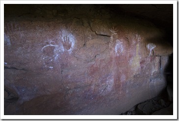
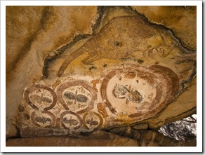
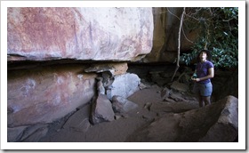
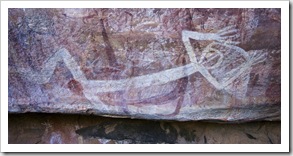 On arriving at Mitchell Falls Base we made a beeline for the Slingair bookings tent and were lucky to be able to slot in on a 1:15PM taxi flight back from the falls (compliments of Lisa’s generous parents). Very happy with ourselves at organizing our helicopter flight, we set off at around 9:30AM on the roughly three kilometer hike into the falls, passing by some fantastically preserved Aboriginal art sites along the way. The art forms pictured to the left are thought
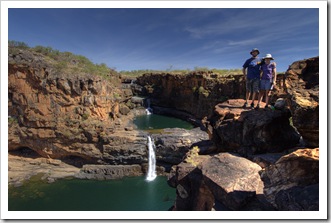
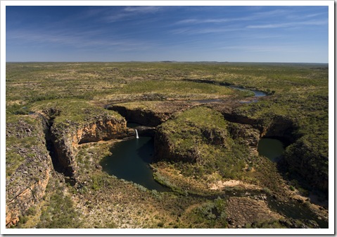
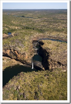
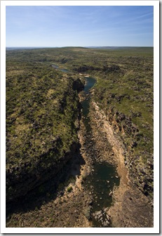
 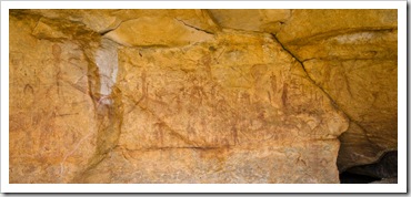 to be between 30000 and 40000 years old, making them the oldest art styles in the Kimberley. The painting to the upper right is estimated to be around 7000 years of age, while those depicted on the yellowish rock below right are examples of Gwion (also known as Bradshaws) art and are estimated to be at least 17000 years old. The trail to the falls winds its way alongside Mertens’ Creek, it was quite rocky at points and required some clambering over rocks. Unfortunately Big Mertens’ Falls was nothing more than a trickle due to this year’s mild wet season, but it was still quite a sight to stand at the top of the falls and look down at the massive gorge formed by the waterway.
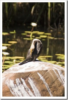
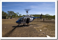
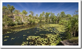
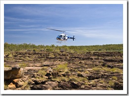
 From Big Mertens’ Falls we made our way around Lily Lagoon, Hunter Lisa spotting another water monitor scurrying through the rocks and both of us enjoying all the birdlife in and surrounding the tranquil pool. A few hundred meters beyond Lily Lagoon and we were at the top of Upper Mitchell Falls, a massive cascading series of waterfalls plunging into a gorge below. Mitchell Falls form Western Australia’s largest multi-tiered waterfall, a pretty awesome sight. We spent a couple of hours swimming and enjoying the sun at the waterhole at the very top of the falls before being picked up at 1:15PM by the Slingair helicopter taxi for our flight back to The Tank at Mitchell Falls Base. The helicopter landed on the rocky outcropping at the very top of the
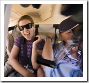
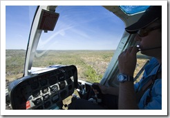
  falls, it had open-air rear seating for three and a single seat shotgun next to the pilot. Lisa rode in the back with the wind in her hair while I was up the front near the pilot (I didn’t have a strap
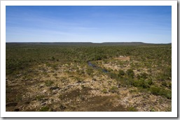
  for the camera and there’s no loose objects allowed in the rear for safety purposes). The flight was unbelievable, the pilot made a number of figure eights over Mitchell Falls and Big Mertens’ Falls to allow everyone a good view. He provided us with some interesting trivia tidbits along the way as well as pointing out the Mitchell River headwaters in the distance and the massive expanse of the Mitchell Plateau. Back to land at Mitchell Falls Base in what’s not much more than a dirt clearing in the middle of the bush and we were back at The Tank for the drive back to our campsite at King Edward River. What an awesome day! Thank you Carol and Greg for the flight, an experience we’ll never forget!
Planet View: S14°17.752′ E126°38.644′
Street View: S14°17.752′ E126°38.644′
 A few hours’ drive from Drysdale Station along some of the worst road we’ve encountered thus far brought us to the small Aboriginal community of Kalumburu. Initially established as a mission by Spanish monks of the Catholic Church, today Kalumburu is a community run jointly by the local Kalumburu Aboriginal Corporation and the Kalumburu Mission. Kalumburu is the most northerly point in Western Australia accessible by road, a good spot for us to top up with fuel and restock with a few small things from the community store. All of Kalumburu’s food and fuel supplies are delivered to the town via barge, so fuel is especially expensive as it is transported in drums. My eyes almost popped out of my head when I saw the diesel price:
  $2.60 per liter (that’s around $USD8.20 per gallon)! Luckily we have two fuel tanks and only needed a small top up.
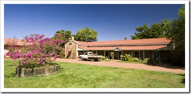
The Kalumburu Mission is a very well kept property in the center of town, beautiful lawns and 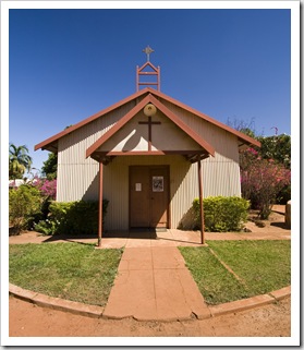 bougainvilleas cover the Mission’s grounds and some of the historic buildings are beautifully maintained. The Mission also runs a campground adjacent to the Mission’s store and cafe, we stayed there for our first and also last night in the area,
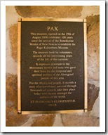
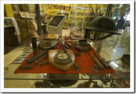
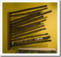
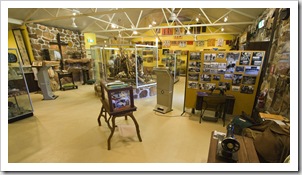
 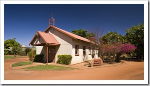 excellent facilities with a camp kitchen and even a chance to catch up on the news on TV. On our first night staying at the Mission we decided to cleanse our souls by attending Catholic mass at 5:00PM, the legally blind priest was assisted by his junior priest-in-training from Kenya, it’d been a while since either of us had attended mass so we stumbled along without trying to look too out of place! Recommended to us by a couple of travelers we met, we took a guided tour of the Mission grounds and the newly renovated museum. The priest holds guided tours for $10 per head every second day, it was a very interesting couple of hours, the priest was an absolute wealth of information on the establishment of the community and the evolution of the town through wars, bombings, the Whitlam years and into modern times. The museum itself boasted a huge collection of authentic Aboriginal artifacts as well as quite a trove of relics from World War II, during which time Kalumburu was extensively bombed by the Japanese.
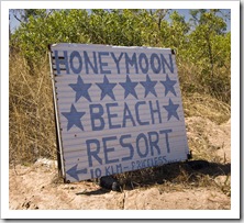
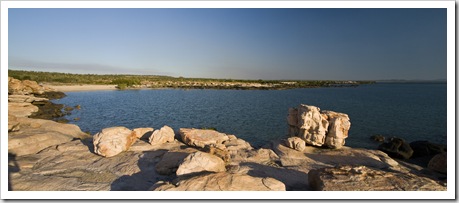
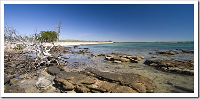
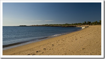
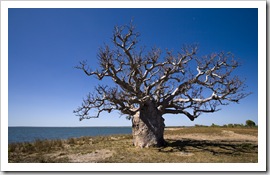 We spent a few days exploring the remote coves and beaches to the north of Kalumburu, notably McGowan’s Island, Honeymoon Bay and the area north of Pago. Honeymoon Bay has a campsite run by a local Aboriginal family, the inlet and beaches were very picturesque but unfortunately the camping area has been allowed to fall into a bit of
  a state of disrepair. Lisa’s mum had recommended we stop off at Honeymoon to
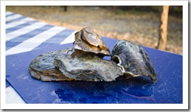
  hunt for oysters on the rocks but everywhere we looked the rocks had been picked clean. We ended up staying one night at the next camping spot south of Honeymoon, McGowan’s Island. While the campground was quite packed,
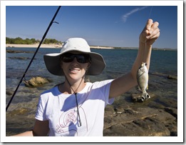
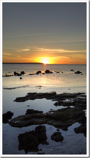
 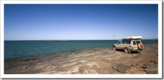 the scenic sites on the edge of the sand provided excellent access to the beach and unparalleled sunset views. We had a bit more luck hunting for oysters at McGowan’s Island, we had to work hard for them as the rocks had been well picked over but Hunter Lisa found a hidden stash under a rock ledge which provided us a nice little accompaniment to dinner. The fishing at McGowan’s Island was also a bit of fun, we spent the afternoon pulling in all manner of rock fish from the outcroppings alongside the beach. I saw a few anglers pull in some Trevally and Queenfish, we weren’t that lucky and returned all our reef fish to the ocean to fight another day.
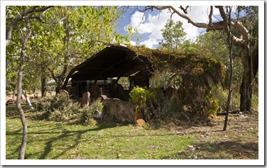
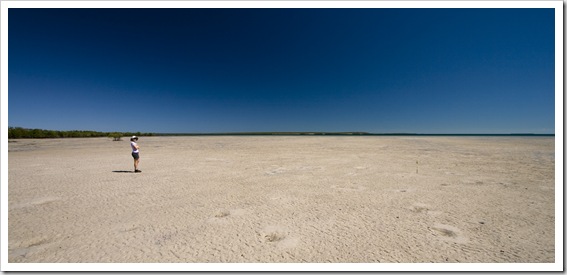 After our night at McGowan’s Island the plan was to head back to the Mission for one more night and then make our way south to Mitchell Falls. Before heading back to the Mission, however, we wanted to see the ruins at Pago, the site of the original mission setup by Spanish Catholic monks in the early 1900s. Pago was a further 10 or so kilometers north of McGowan’s Island, we were both amazed that missionaries survived in the bush there more than 100 years ago. Some of the masonry work at the original mission was astonishing, huge stone slabs arranged with only hand tools and an array of artesian wells were somehow constructed surrounding the foundation. The land around the Pago ruins is owned by an Aboriginal family that live a few hundred meters from the ruin site, we ventured down to say hello and ask if we could drive further up the track to explore and they kindly obliged. The seemingly endless mudflats pictured here to the right were located just in front of their house. Although we were planning to return to Kalumburu for the night, the Aboriginal family mentioned that
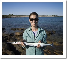
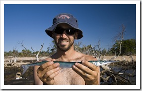
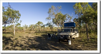
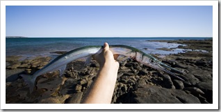
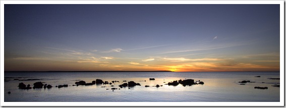
 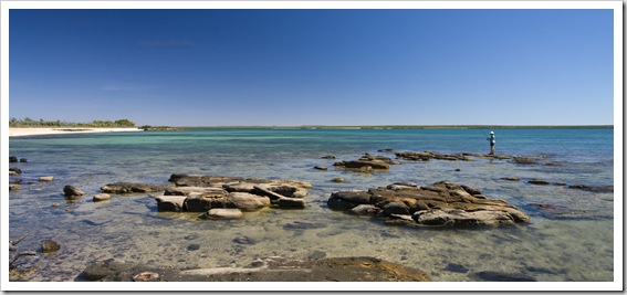 we could camp on their extensive property and after finding a spot a few kilometers north along the coast from the pictured mudflats we decided we just had to spend the night. We setup camp in a small, secluded clearing just behind the sand dunes with a beach to our left and rocky outcroppings to our right (S14°05.792′ E126°42.853′). And to cap it all off we had the place absolutely to ourselves, not a soul to be seen during our stay. We couldn’t have asked for a more picturesque spot, we could see the ocean from our bed and the fishing was amazing to the point of almost being unfair on the fish! We spent the afternoon and morning pulling in everything from cod to bream, Snook to Yellowfin. As we stood there fishing it was hard to keep our concentration on the task at hand, so much wildlife was on show that it was only a tug on the line that reminded us what we were supposed to be doing. A collection of huge White-Breasted Sea Eagles put on quite a show for us, swooping down to the ocean to grab sizeable fish
  with their talons. Most of the fish we caught we threw back as we were really after the Snook that kept chasing schools of baitfish and dancing across the surface of the water. I pulled in one Snook
 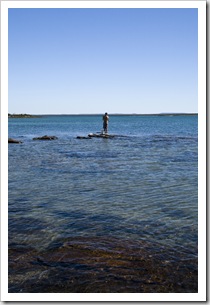 during our afternoon session of fishing, the rest kept cutting our line with their sharp teeth as we attempted to land them. We used a bit heavier tackle the next day, landing a further three good sized Snook as well as some nice Yellowfin, they should provide us with a few meals on the road. The Snook were a hell of a lot of fun to catch, once hooked they’d launch themselves out of the water, flipping and turning in the air in an attempt to dislodge the hook in their mouth. There haven’t been many times in our lives when we’ve quit fishing due to an excess of fish, but we only had so much room to store them in our small fridge!
Our final night in the Kalumburu area was spent back at the Mission where we could take advantage of the hot showers and an oven in the camp kitchen to bake one of our Snook before heading down to Mitchell Falls. Our secluded campsite on the beach at Pago was pretty special, both of us agreeing that we could have stayed there for a week if only we were able to swim in the ocean!
Planet View: S15°58.134′ E127°56.371′
Street View: S15°58.134′ E127°56.371′
 El Questro Station is one of the many cattle stations of the Kimberley that has morphed into more of a tourist destination than fully-fledged cattle station. To retain their pastoral lease the current managers of El Questro are still required by the government to produce a certain amount of beef each year. It’s probably the most famous of the destinations along the Gibb River Road, with fantastic gorges, hot springs, barramundi fishing and the picturesque Cockburn Range. A quick 100 kilometers or so from Kununurra, we stayed at El Questro for three nights to absorb all that it has to offer.
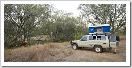 The station headquarters, El Questro Township, is the base for all tours, flights, permits and camping on the station’s massive property. We checked in after visiting El Questro’s Emma Gorge on the way from Kununurra. The Township at El Questro has everything: petrol pumps, a bar, a steakhouse, helicopter tours, wildlife tours, $1000 per night accommodation at the famous Homestead as well as camping for the regular traveler. Then there are the fabled riverside campsites, a collection of 24 private campsites along the Pentecost River that are available to early comers for the same price as regular camping at the Township. We were
 lucky enough to arrive at headquarters in time to grab one of the last two private campsites for the first two nights of our stay. Our site, named Jabiru, really was a pretty unique spot: all we could hear
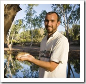
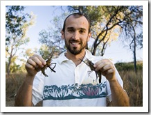
 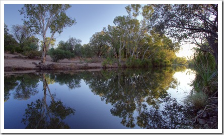 from our secluded site along the Pentecost River was the ‘wopping’ of Barramundi feeding and the trickle of the river cascading down the rocky banks, our only visitors cows and the occasional inquisitive wallaby. We both had quite a bit of fun pulling in Barramundi during the afternoon, they’d hit any kind of fresh meat it seemed, and pound for pound would have to be one of the strongest fish out there. Don’t laugh at the size of the baby pictured above, he’s small but is one of many more larger ones to come! Also a bit of fun to throw the pot in the river overnight and be welcomed with some fresh cherabin (kind of a mix between a yabbie and a prawn) for a breakfast snack.
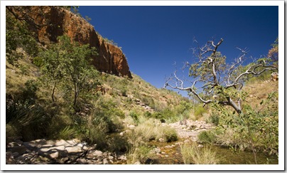
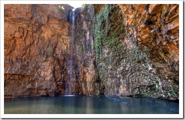
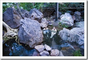
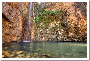 There are quite of number of gorges and waterfalls to explore on El Questro Station, even in three days we didn’t touch on all of them. We completed the quick hike into Emma Gorge on our way into the township on the first afternoon, as well as taking the 4WD track to Pigeon Hole and Chamberlain Gorge. It was recommended to arrive at Zebedee Hot Springs early in the day to avoid the crowds, so on our second day we took a warm dip at around 7:00AM in a little private pool amongst the lush rainforest
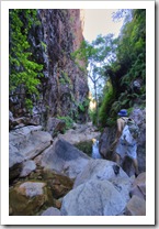
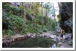
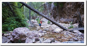
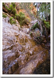
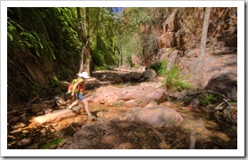
 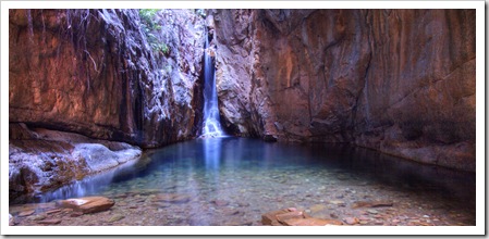 surrounding the springs. The remainder of our second day was spent exploring the majesty of El Questro Gorge. We both agreed that it’s one of the best hikes we’ve undertaken during the trip, the roughly seven kilometer track winding its way up the lush gorge’s waterfalls, rock
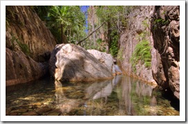
 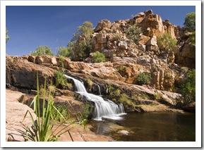 pools, rainforest and endless Livistonia Palms. The halfway point of the walk is marked by a huge boulder blocking the gorge, the swimming hole formed by the boulder is the turnaround point for
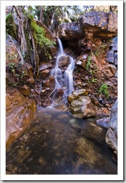
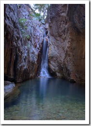
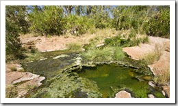
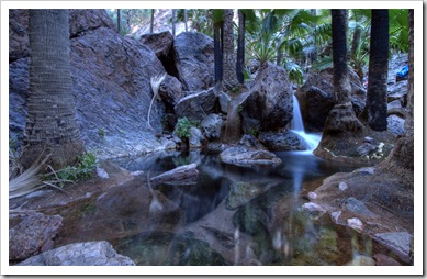
 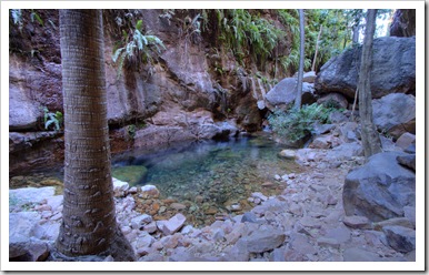 most walkers because it takes quite a bit of clambering up rocks to progress through the gorge. I transported our packs and shoes across the waterhole and we continued for a further two kilometers through the shady gorge to Mac Micking Pool, a majestic plunge pool at the base of a secluded waterfall. We had it all to ourselves for the hour or so we spent swimming and eating lunch, an awesome place, so much fun! We spent our third day on the station hiking the 10 kilometer out-and-back to Champagne Springs, a quite exposed and thus hot hike up Champagne Valley to thermal springs that received their name due to the way they bubble warm water from deep below the surface. The springs themselves were ridden with algae so didn’t lend themselves to swimming but there was a beautiful swimming hole and waterfall called Gem Pool just above the springs where we spent an hour cooling off and grabbing a bite. A little off the beaten track, we didn’t see another soul during our four hours hiking the Champagne Springs trail!
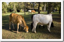 During our last night on the station we gave up our secluded campsite and stayed at the grassy sites next to the Township so we could enjoy the live music and whip-cracking display scheduled for the evening. The campsites at the Township, while a little crowded, were very comfortable: grassy sites next to a swimming hole in the Pentecost with access to excellent amenities. Our campsite in the Township was even host to a few of the station’s cows during the afternoon on our final night! A few people to whom
 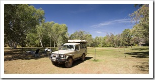 we’ve talked about El Questro were of the opinion that the station is too commercial; it is commercial, agreed, but it’s done in such a way that the natural beauty of the area isn’t disturbed and the thought put into the planning of the tourist sections is clearly evident. If one is willing to spend some time and energy hiking to the more secluded portions of the station they are definitely devoid of crowds and any hint of civilization. El Questro was well worth the stop. We were left with a bit of a sour taste in out mouths after being kept up until after 3:00AM on our last night by a group of fellas on break from their mining jobs, but otherwise we had a ball!
Planet View: S17°31.420′ E128°17.848′
Street View: S17°31.420′ E128°17.848′
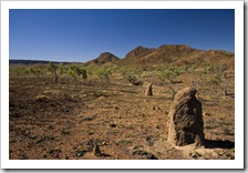
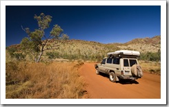
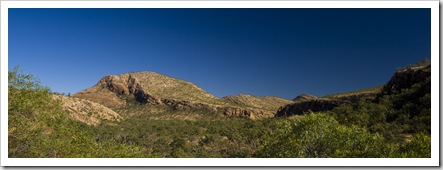
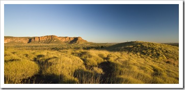
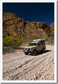
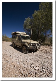
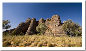
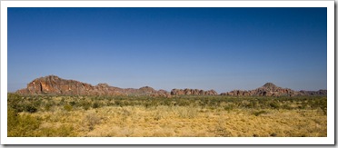
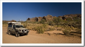
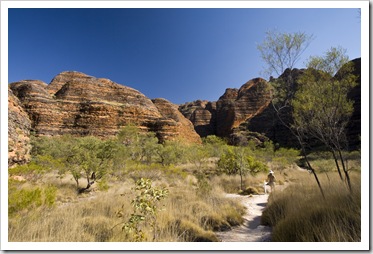
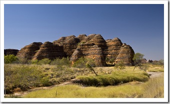
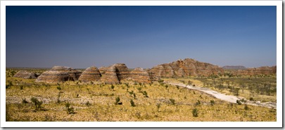
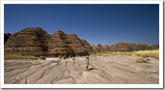
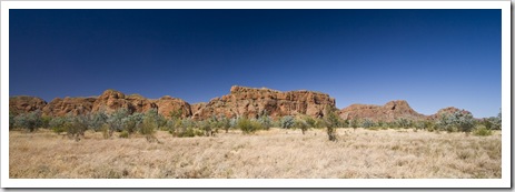
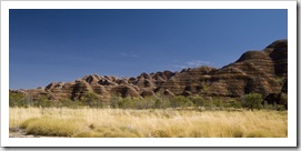
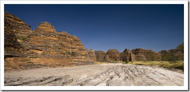
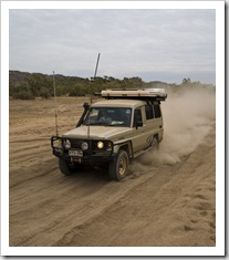 A few hundred kilometers south of Kununurra and a further fifty kilometers on a 4WD track (which took us two hours by itself!) took us to Purnululu National Park, the home of the Bungle Bungle Range. The road was quite a ride, nothing requiring low-range or lockers but definitely a couple of hours of severe corrugations, bulldust, creek crossings, big rocks and the occasional middle finger from a grey nomad if you happen to pass with a little too much speed! Colloquially known and simply the Bungle Bungles, Purnululu (meaning sandstone in Aboriginal) is a relatively new National Park, being declared in 1983 and receiving World Heritage listing in 2003. It is most well-known for the bee-hive rock formations displaying zebra-like alternating layers of iron oxide and prehistoric algae, as well as the bright red sandstone-ribbed range of the Bungle Bungles themselves.
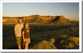
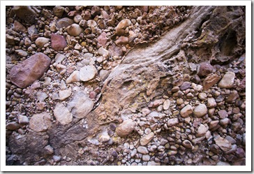
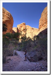
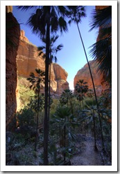
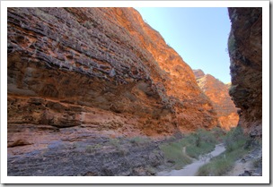
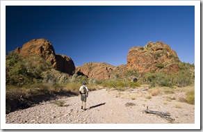 We spent three nights in Purnululu, giving ourselves more than enough time to take in its main attractions. We ventured out the first morning from Kurrajong Camp to the park’s northern attractions: Osmand Lookout, Echidna Chasm and Mini Palms Gorge. Echidna Chasm and Mini Palms Gorge are both carved into the Bungle Bungle Range itself, Mini Palms an easy walk along a dry creek bed into a deep, shaded gorge littered by Livistonia palms relishing the shade. As with Kata Tjuta (the Olgas), the Bungle Bungle Range is not solid rock but a conglomerate of millions of small round pebbles cemented together. The Mini Palms walk was a great way to see the rocks up close.
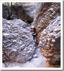
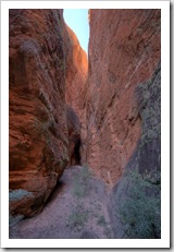
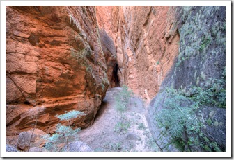
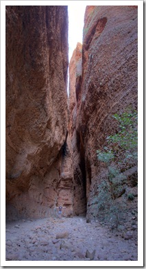
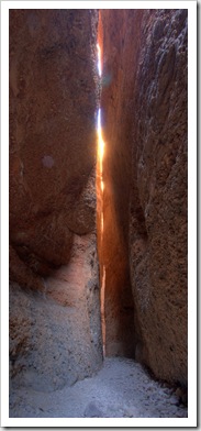
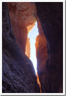
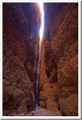
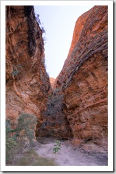
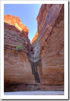
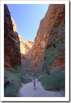
 Echidna Chasm is located a couple of kilometers further north along the range from Mini Palms, the hike into the chasm was absolutely brilliant. A short walk up a dry creek bed and the walls began closing in around
 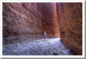 us until we were hiking through a trail that was at points only a couple of feet wide. The vertical walls lining the chasm at points exceed 200 meters in height. The chasm meanders deep into the Bungle Bungle Range, at each turn we thought the trail couldn’t possibly continue, but it kept winding its way back for what seemed like eternity. The rock shapes and light bouncing its way through the chasm had us often stopping to admire the view as well as take photos, the cool shade of the chasm a welcome respite from the heat out in the open. The chasm was formed by a fault in the range being carved away by water over millions of years, it was quite exhilarating walking through the thin crack as there were a number of points where large boulders had fallen and were wedged by the walls partway down the chasm (anyone ever read Between A Rock And A Hard Place?!).
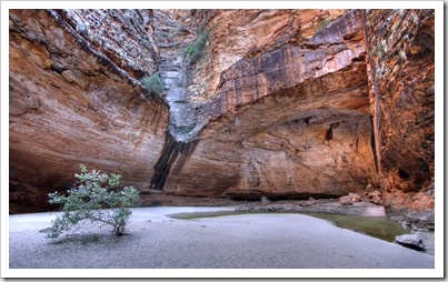
 We spent our other full day in Purnululu exploring its southern walks: the Domes Walk, Cathedral Gorge and Piccaninny Creek. The three walks form an interconnected loop that takes a couple of hours to explore, traversing the bee-hive domed rock formations for which the Bungle Bungles are so famous. On the way between our campsite and the southern walks Hunter
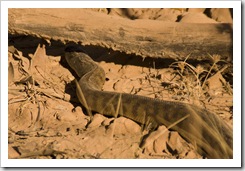
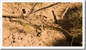
  Lisa again had a keen eye for wildlife and spotted the largest snake either of us has ever seen in the wild: a massive two metre long Black-Headed Python slithering along next to the road. I
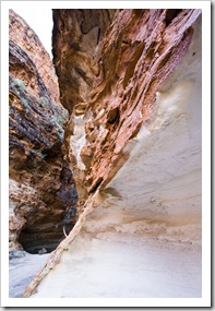
 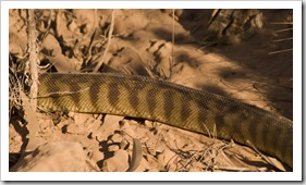 managed to get a few snaps of it (from a distance because we thought it was a Tiger Snake at the time!), very cool to see up close in the wild. The domed rocks’ shadows provided some much needed shade during the heat of the day, especially whilst hiking into Cathedral Gorge. It felt a lot hotter on our third day in Purnululu, I forgot my watch on the walk (which has a thermometer in it) but when we returned to my watch at the car at 11:15AM the inside of the cabin was 48°C (118°F)! We’d read that the alternating grey and red colors of the Bungle Bungle bee-hives is created by algae (grey) and oxidized iron in the soil (red), and that the layer of rock containing the colorful patterns is only centimeters thick. We found a spot along the Domes Walk where the crust had broken away, giving us a good view of the fragility of the outer layer of rock (pictured to the left here).
 A couple of travelers we met in Gregory National Park suggested that only one full day was required to explore Purnululu. While one could easily explore both the northern and southern walks in a day, doing so would mean hiking during the hottest hours of the day. With no water other than artesian wells in the campsites, it is surely a hot prospect to be hiking in the heat so we’re glad we allotted two full days and three nights to the area. Echidna Chasm was definitely the highlight for both of us, a fantastic hike through the 200+ meter walls forming a cut in the Bungle Bungle Range.

