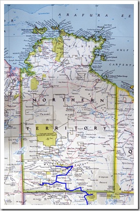
The Devil’s Marbles To Mataranka

Australia, Northern Territory 1 Comment »

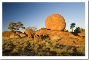
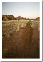
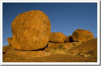
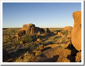
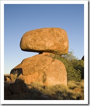
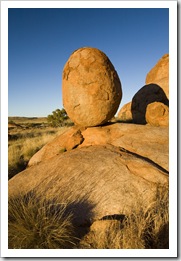
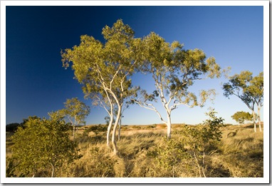
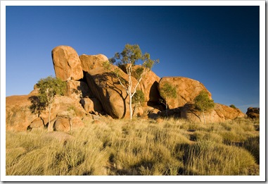
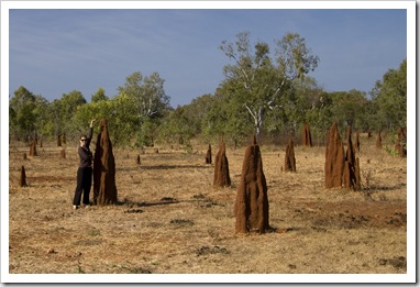
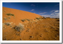
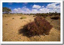
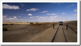
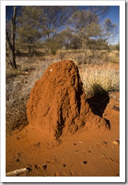
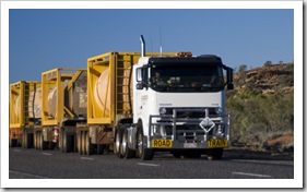
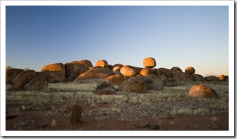
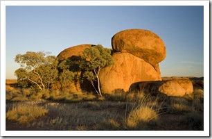
Northern Territory A termite mound along the side of the Stuart HighwayOne of the many road trains we passed on the Stuart HighwayWe’ve covered a lot of ground in the last couple of days!  After taking a drive through West Macdonnell Ranges National Park next to Alice Springs we headed north and spent the night at Devil’s Marbles Conservation Park about an hour south of Tennant Creek.  The termite mounds were ubiquitous for the drive north of Alice Springs, some areas had fields of thousands of them alongside the road, other spots only had one or two poking up between the spinifex.  We started to see a lot more road trains as we headed north from Alice, I managed to snap the one here as it was roaring past, it was a three trailer rig but we saw quite a few laden with four trailers behind the truck.  Talk about some weight!  We arrived at the Devil’s Marbles campsite just as the light was fading, we have been trying not to drive around dusk for fear for nailing a kangaroo or, worse, a The Devil's Marbles cheesewheelsroaming cow, but we were both scanning the sides of the road for any movement and thankful for the new Lightforce driving lights I installed on The Tank before leaving Adelaide.  We did have to slow down for a couple of kangaroos along the way but as soon as they saw our lights they hopped back into the bush as we were hoping they would.  The Devil’s Marbles campsite is located in an ideal spot next to the famous rock formations, only about one kilometer off the Stuart Highway.  It seemed, however, that the rest of Australia was there with us for the night: the campsite was absolutely packed.  We had a bit of an uneasy late night conversation with a couple of grey nomads from New South Wales who thought that the entire campsite would like to listen to their geriatric music instead of enjoying a quiet night under the stars, but other than that it was great to wake up with the Devil’s Marbles at our doorstep.  I managed to get quite a few snaps of them illuminated by the sunrise. 
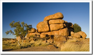
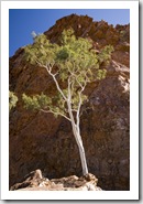
The Devil's MarblesThe Devil's MarblesThe Devil's Marbles A termite mound at the Devil's Marbles before sunriseThe Devil's MarblesThe Devil's MarblesThe Devil's Marbles and a native rock fig The Devil's MarblesGhost gums at the Devil's MarblesThe Devil's Marbles

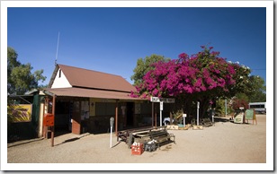
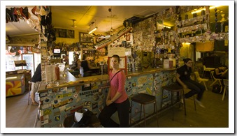
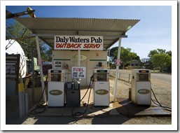
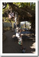
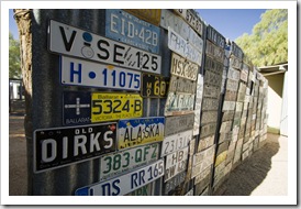
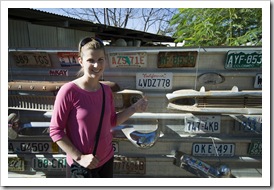
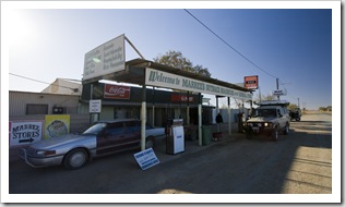
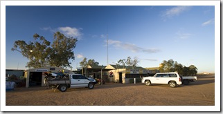
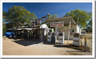
The Daly Waters petrol stationThe Daly Waters pubWe arrived in Tennant Creek to refuel and decided that while in a largish town we’d try to find a doctor to give me some antibiotics to deal with the sinus infection I’d been battling for a few days.  Lisa left me at the hospital for an hour while she refueled and upon returning, we both decided that we’d be in the emergency department all day waiting for the single doctor on staff to see me, so kept heading north up the Stuart Highway.  The further north we headed the yellow spinifex and red dirt of The Outback was gradually replaced by eucalyptus trees and grasses with hues of green and orange.  We were in The Tank with the air The Daly Waters pubThe Daly Waters pubconditioner on for most of the way, but when we arrived at the famous Daly Waters pub for lunch we definitely felt like we’d left the desert and were finally in the tropics.  The Daly Waters pub was a real hoot: the walls covered with everything from brassieres to baseball caps.  Out the back is a large open-air seating area setup for live bands where the paraphernalia continues: thong trees, number plate fences, a lot to look at!  The food was fantastic, great Aussie burgers on homemade damper rolls, Lisa had a barramundi burger and I opted for chicken.  We’d definitely recommend making the stop for a meal and beer at Daly Waters.
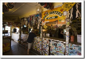
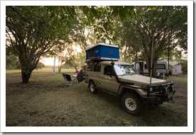
The Daly Waters petrol stationThe thong tree at the Daly Waters pubNumber plate fence at the Daly Waters pubCalifornia!

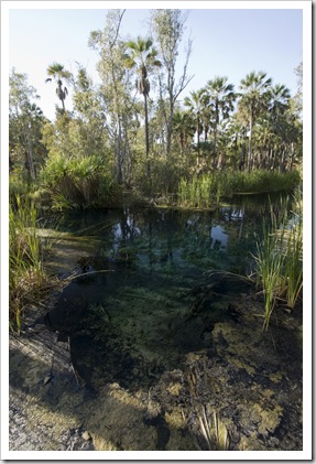
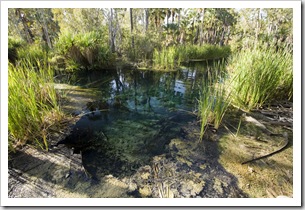
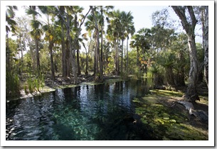
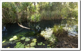
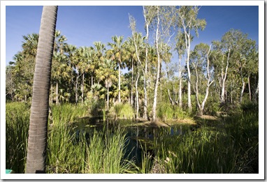
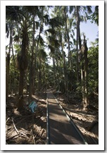
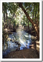
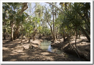
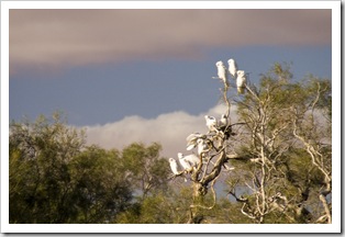
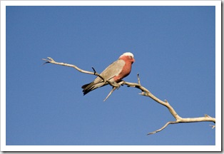
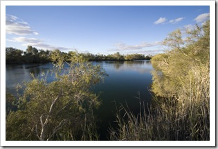
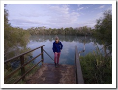
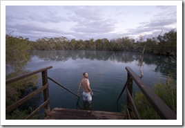
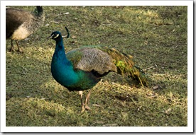
Our campsite at Territory Manor in MatarankaBitter SpringsWhile we were chatting with a bloke during our morning swim at Dalhousie Springs it was recommended to us to spend some time at Bitter Springs in the town of Mataranka (S14°55.133′ E133°4.044′).  Mataranka is about an hour south of Katherine and is well known for Mataranka Springs thermal pools.  Bitter Springs, however, isn’t as well known and hasn’t been developed like the touristy Mataranka Springs.  Bitter Springs is a few kilometers down a side road from the town of Mataranka, we stayed at a campsite called Territory Manor along the same road, both agreeing that it was the best site we’ve stayed at since leaving Adelaide.  Beautiful fig trees all over the property and we very much enjoyed a night with grass underfoot One of the many peacocks roaming Territory Manor in Matarankainstead of the red dust we’ve become accustomed too.  Territory Manor’s grounds are home to a vast array of birdlife, everything from peacocks to flocks of cockatoos, and when the sun went down the ground became alive with tropical frogs.  A great place!  After a breakfast of bacon and eggs this morning we headed down the road into Elsey National Park for a swim in Bitter Springs.  What a magical place: a short walk through the swamps on a well-maintained path and we were greeted with crystal clear deep blue water flowing as a small creek through the tropical jungle.  The water gives its blue tinge to the surrounding flora making it seem that everything is glowing with an effervescent blue, a really special spot.  The water’s heated to around 34°C (93°F) and has a current that allows one to float from the beginning of the springs through the jungle, then make the walk back to the headwaters.  So thankful that the fellow at Dalhousie mentioned it to us, we absolutely loved it! 
Bitter SpringsBitter SpringsBitter Springs Lisa swimming in Bitter SpringsBitter SpringsLisa in a termite mound field in Mataranka

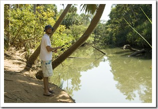
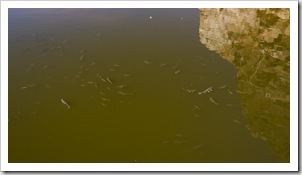
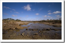
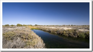
Waterhous RiverAfter having our fill of Bitter Springs we ventured back into Mataranka and down Homestead Drive to the more publicized Mataranka Springs.  We took our swimming gear with us but after being spoiled with Bitter Springs didn’t end up getting wet.  The thermal pools at Mataranka Springs have been built up with concrete and don’t have anywhere near the charm of their neighbor thermal pools down the road.  We did end up spending some time at Mataranka Springs, however, as they’re located on the edge of the Waterhous River which is supposedly a good spot for barramundi fishing.  I tried my hand at fishing, seeing a few barramundi in the shallows but not being able to land a hook in one.  The river was an eerie place, supposedly patrolled for saltwater crocodiles by the Elsey National Park staff with traps always baited, all the signs say it’s safe for swimming.  But when I got one of my lures snagged it sure took me some time to convince myself to even put my feet in the water to go get it.  Take a look at the murky water to the left, would you be swimming in that water in the Northern Territory tropics?!  A quick lunch and a couple of Paddle Pops from the Mataranka Springs kiosk and we were off north toward Katherine.
The walkway to Mataranka SpringsMataranka SpringsSam fishing in Waterhous RiverOne of the creeks flowing through the swamps into Waterhous RIver

Share

Alice Springs And The Macdonnell Ranges

Australia, Northern Territory 2 Comments »
Planet View: S23°41.973′ E133°51.695′
Street View: S23°41.973′ E133°51.695′

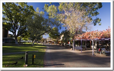
Northern TerritoryLisa walking around the Henbury meteorite craterOur original plan was to head from Uluru to Finke Gorge National Park via the Finke Creek 4WD Track.  We drove the 250 kilometers to the beginning of the track but, upon seeing that it would be almost 50 kilometers of 4WD low-range in a sandy river bed, we instead decided to skip Finke Gorge and head straight to Alice Springs (Tom Brown stop shaking your head!).  We’ll get plenty of low-range driving in the Kimberley, and it’s probably better if we attempt a track like that when we’re not by ourselves and have two full fuel tanks…  We took the Ernest Giles Road back to the Stuart Highway, stumbling upon Henbury Meteorite Conservation Park along the A self-portrait at the Henbury meteorite craterway for a bit of a geology lesson.  The meteorite responsible for the crater to the above left was around four feet in length, imagine the speed it must have been traveling!  Around 50 kilometers out of Alice Springs we started to be able to tune to some of the local Alice radio stations.  We stopped on a local Aboriginal station that was fun for a listen, I will never forget the song Tourist Dollar played by a Northern Territory Aboriginal group describing how they’re all kept fat and comfortable by the tourist dollar!  We arrived in Alice Springs late on Thursday afternoon with enough time to have a stroll around central Alice.  Some fabulous artwork in the local galleries as well as a plethora of opal jewelers and a few good outfitters in the central Todd Mall.  Also some very eye-catching artwork being sold by the local Aboriginal artists in the Todd Mall park, we noticed one or two of them that had their pieces also featured in the local galleries but at many multiples of the park price!  Opting to leave our camp kitchen packed away for the night, we hung around in central Alice for dinner at one of the local pubs, a schnitzel for me and kangaroo fillet for Lisa.

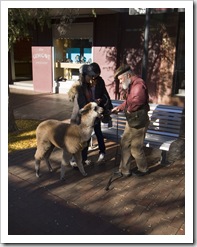
Lisa on the way out of Henbury Meteorite Conservation ParkCentral Alice SpringsNot something you see every day: a pet llama in Alice Springs 

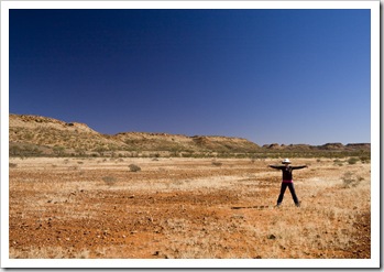
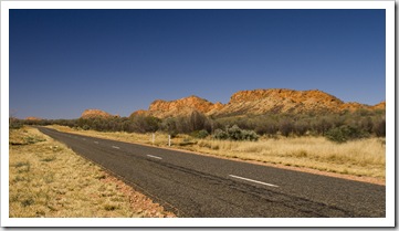
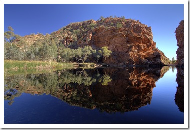
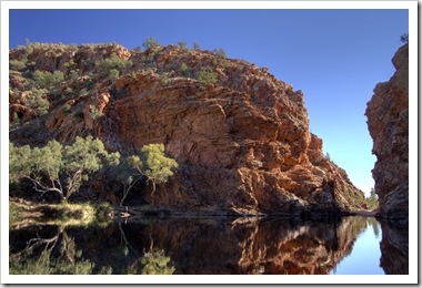
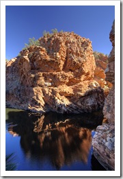
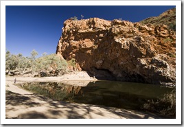
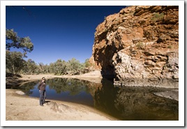
The West Macdonnell RangesAlice springs is situated along a mountain range named the Macdonnell Ranges.  For 222 kilometers to the west of Alice extendeds the West Macdonnell Ranges National Park; this morning we took a drive along the National Park stopping off at some of the famous sights.  You could spend days exploring the West Macdonnell Ranges National Park, it’s a beautiful area of Australia and the campsites are located at ideal spots.  There are also some great hiking trails joining the park’s main landmarks, the main hiking route is called the Larapinta Trail and extends from the park’s western boundary all the way into Alice Springs.  The two spots we visited were Ellery Larapinta Drive along the Macdonnell Ranges back into Alice SpringsCreek Bighole, a popular permanent swimming hole in a beautiful gorge about 45 minutes drive west of Alice Springs.  The water was freezing cold but we gathered that Ellery Creek Bighole is very popular amongst Alice locals when the temperature is sweltering The fish in the waterhole at Ormiston Gorgeduring summer.  Our second stop was Ormiston Gorge on the western edge of the park.  Lauded as one of the most spectacular gorges in central Australia, it was definitely an impressive sight.  The red rocks of the gorge extend for many kilometers back from the main waterhole, sheer cliffs with beautiful ghost gums finding a way to grow in the rocks’ cracks.  No fishing in the National Park, unfortunate because the waterhole at Ormiston was filled with ample sized swimmers!

 Ellery Creek BigholeEllery Creek BigholeLisa at Ellery Creek Bighole Ormiston GorgeOrmiston GorgeOrmiston GorgeA ghost gum at Ormiston Gorge

Share

Witjira National Park Rescue

Australia, South Australia Comments Off on Witjira National Park Rescue

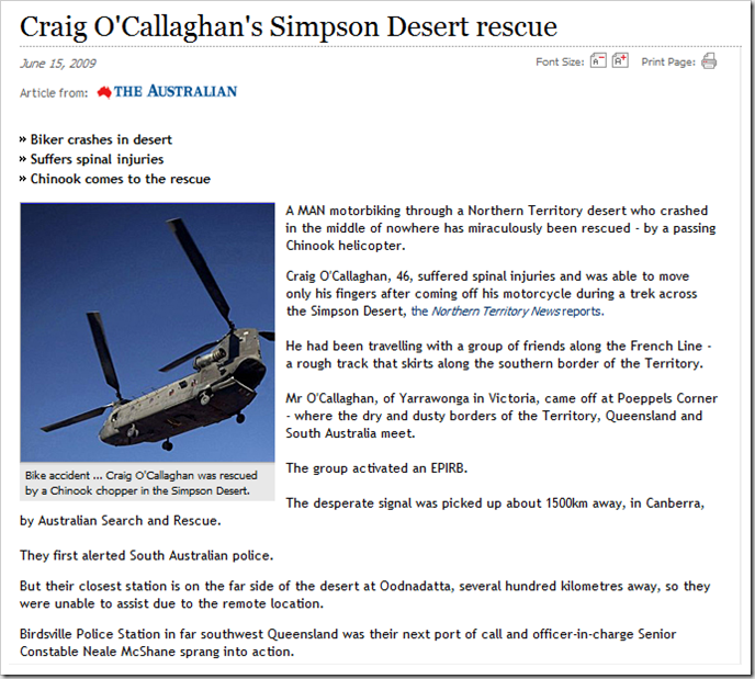
Steve forwarded this article onto us, turns out the motorcyclist that we passed on the way into Dalhousie Springs was picked up by an army Chinook helicopter.  The article below from The Australian on June 15th.

image

Share

Uluru – Kata Tjuta National Park (Ayers Rock And The Olgas)

Australia, Northern Territory 3 Comments »
Planet View: S25°20.566′ E131°01.281′
Street View: S25°20.566′ E131°01.281′

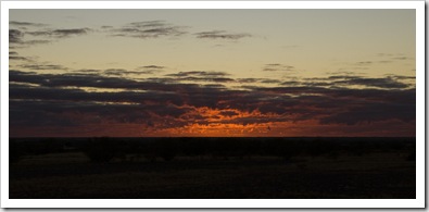
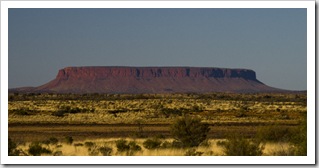
Sunrise at Mount EbenezerWe spent the night at Mount Ebenezer (S25°10.817′ E132°40.698′) on Tuesday, Ebenezer roadhouse is basically a cattle station that has cottoned on to offering facilities for passing tourists, something we’ve noticed a lot of stations do in The Outback (William Creek, Mount Dare, Curtin Springs to name a few others).  The campsite wasn’t much: an open, dusty paddock on the side of the highway.  But it was free with hot showers and the roadhouse food was good, so we can’t complain.  Mount ConnorWednesday started with an amazing sunrise over the desert, the photo to the right doesn’t quite do it justice.  It was a couple of hours drive from Mount Ebenezer to the National Park, the desert sands becoming redder with each kilometer.  The landscape was dotted with spinifex as far as the eye could see, and Lisa had quite an eye for spotting huge wedge-tailed eagles in the morning sun (still need to get a photo of one).  On our way to Uluru (Ayers Rock) we passed by Mount Connor, a massive red-earthed plateau shooting out of the desert on the horizon.  Lisa and I both thought for a second that it was Uluru!

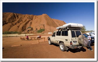
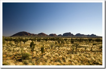
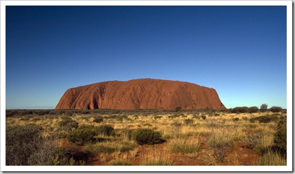
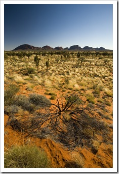
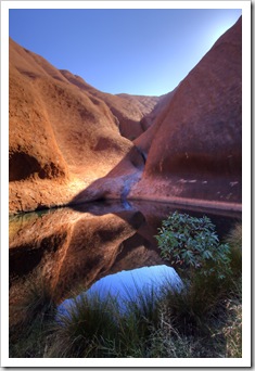
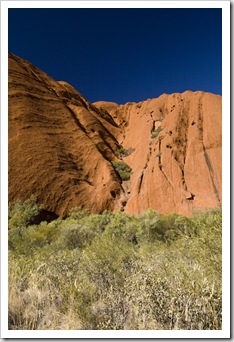
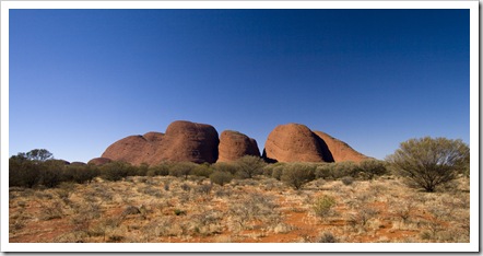
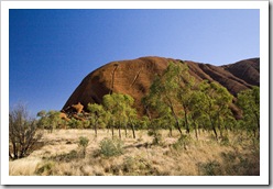
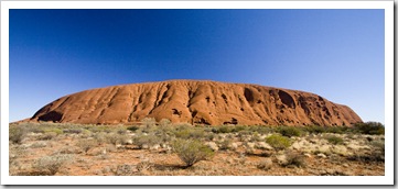
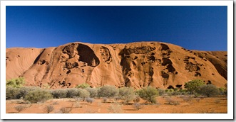
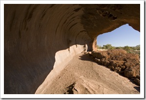
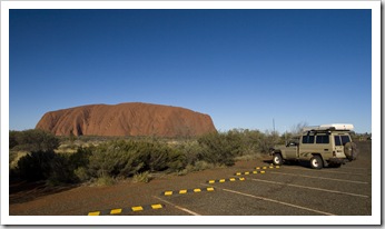
The Tank parked at UluruKata TjutaWe checked into the Yulara campsite before heading into the National Park, camping in the Park isn’t allowed so Yulara is the only option.  A pricey campsite but the facilities were excellent.  It was first time we’d been able to get mobile phone reception since the Flinders Ranges so we spent a bit of time catching up with civilization.  Yulara is the name of the small resort town established just outside the National Park boundary.  It houses the famous Uluru Resort as well as a number of restaurants of varying degrees of classiness, a Uluru in the late afternoon sunshopping center and, of course, our campsite.  We were prepared to pay the $25 entry fee on the National Park entry sign, but when the ranger took our $50 we quickly realized there was no change forthcoming and that the entry was in fact $25 each!  We first ventured out to Kata Tjuta (The Olgas) and walked into one of the gorges between the giant aggregates of rock.  While Uluru and Kata Tjuta look like they’re composed of the same type of rock from a distance, it’s actually a little deceiving: Uluru is, of course, the planet’s largest single rock but Kata Tjuta (S25°18.052′ E130°43.293′) is composed of a conglomerate of small red rocks held together by aggregate.  After a quick walk into Kata Tjuta we made our way back to Uluru and spent a few hours walking around the big rock.  Lisa had visited Uluru before when she was studying in Australia, but it was my first time.  Fantastic to see it up close, there are actually a lot of gorges and caves in the sides of the giant monolith, it’d be fantastic to see it when all the waterfalls are flowing down its sides.  We’d been told to make sure to catch Uluru in the sunset, it evidently changes color from its typical orange to a deep red, but the sinus infection I’d picked up the day before had us back at the campsite by the time the sun was setting so afternoon shots of the rock will have to do!

Kata TjutaOne of the permanent waterholes on the southern side of UluruUluruA piece of Uluru and the hole from which it tumbled in the background Lisa hiking into one of Kata Tjuta's gorgesKata TjutaUluru UluruUluruUluru Lisa at UluruOne of the caves in Uluru that is formed like a waveUluru in the late afternoon sun

Share

Lake Eyre, Oodnadatta and Dalhousie Springs

Australia, South Australia 4 Comments »

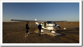
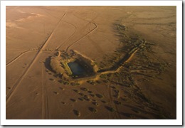
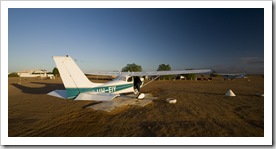
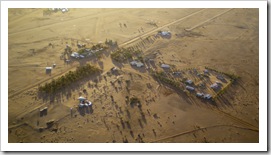
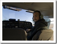
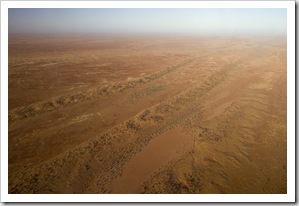
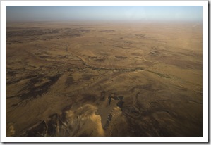
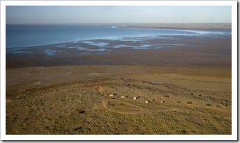
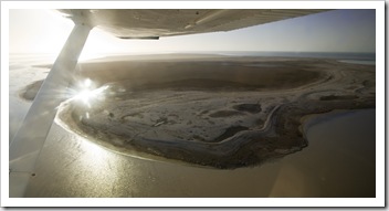
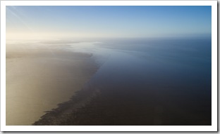
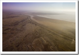
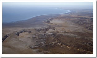
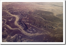
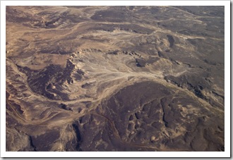
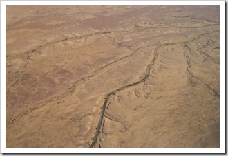
Lisa hopping on our Cessna for the scenic flight over Lake EyreOur airline for the scenic flightYesterday began with my birthday present from my mum: a scenic flight over Lake Eyre.  Lake Eyre is really something that should be seen from the air, it stretches a huge 144 kilometers from north to south and collects the water from one sixth of Australia’s landmass.  The recent floods in Queensland have resulted in the lake being a little over half full so we took the once in a decade chance to see the lake with a significant amount of water in it.  We took the flight in a small Cessna from William Creek, the four of us (including the pilot) flying for around 20 minutes from William Creek to the lake, another 20 over the two main islands, One of the many dams on Anna Creek Stationthen back to William Creek for approximately one hour of total flying time.  We started the trip cruising at 500 feet, lifting to 2,500 feet for the second Lisa hopping on our Cessna for the scenic flight over Lake Eyrehalf of the flight to give us a feel for the massive expanse of the body of water.  The pilot flew us low over a pelican rookery on one of the lake’s islands, the big birds making their way to the same spot every year, twice a year, to hatch their young.  It was a fantastic flight, not only being able to witness the lake in all its glory, but also having a chance to see The Outback from the air.  All the formations created in the sands by the heavy rains were breathtaking, the way the creeks (which are currently dry) carve their way through the desert was amazing to see.

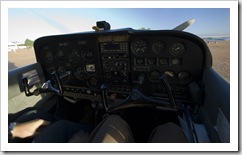
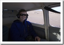
Australia's smallest town: William CreekSam up next to the pilotSam's view of the interior of the planeLisa in the back for the flight over Lake Eyre The Outback from the air in-between William Creek and Lake EyreThe Outback from the air in-between William Creek and Lake EyreHalligan's Bay viewing station on the western shore of Lake Eyre One of Lake Eyre's two large islandsFreshwater and saltwater meet in Lake EyreLake Eyre Lake EyreLake Eyre's Bell Bay (the lowest point in Australia at 15 meters below sea level)Patterns in The Outback sands between Lake Eyre and William Creek Patterns in The Outback sands between Lake Eyre and William CreekDry creeks wind their way across The Outback between William Creek and Lake EyreOne of the many dams on Anna Creek Station 

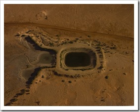
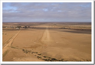
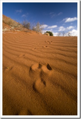
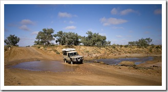
William Creek and the airstrip coming in to landA kangaroo paw print in the Outback dunes along the Oodnadatta Track between William Creek and OodnadattaWe set off north following our flight, making a beeline up the Oodnadatta Track for the town of Oodnadatta.  The first portion of the track from Marree to William Creek was relatively smooth sailing, some sections of the track yesterday morning between William Creek and Oodnadatta were a little more testing.  The corrugations were bearable but sections that had been carved out by vehicles running the track after heavy rains made for some tricky driving.  The last few kilometers before reaching Oodnadatta were the worst, large corrugations which seemed to be exactly the length of The Tank gave us quite a ride!  Just before we reached Oodnadatta Lisa noticed that the rough road had rattled our rooftop bed open, then last night when we climbed upstairs to go to sleep we found that one of One of the few creeks containing water between William Creek and Oodnadattaour sleeping bags had unfortunately been whisked out while we were driving with the bed unlatched.  I’m pretty disappointed, I’d had that sleeping bag since I was a little kid, but we would have spent more money in fuel backtracking to find it than it would cost to replace it.  And I doubt whether we’d find it anyway.  Que, sera, sera…  We had a chat with Adam, the eccentric owner of the famous Pink Roadhouse, while refueling The Tank at Oodnadatta as well as grabbing a quick bite whipped up by one of the many western European employees of the roadhouse.  Next stop: Dalhousie Springs.

Outback dunes along the Oodnadatta Track between William Creek and OodnadattaOne of the few creeks containing water between William Creek and OodnadattaThe Algebuckina Creek and Bridge between William Creek and OodnadattaThe Algebuckina Creek and Bridge between William Creek and Oodnadatta 

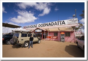
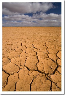
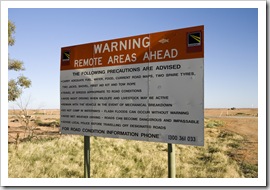
Oodnadatta's famous Pink RoadhouseDriving across Fogarty's Claypan on the way to Dalhousie SpringsThe continuation of the Oodnadatta Track north from Oodnadatta was a little more nail biting than the section between William Creek and Oodnadatta.  Still bearable though, and we made sure to cinch our bed down tight for the afternoon drive!  The surrounds were not as desolate as those further south, a lot more vegetation evident and we started to see more cattle grazing in the desert with all the edible desert flora.  We crossed over the expansive Fogarty’s Claypan a little ways north of Oodnadatta, we would definitely not want to attempt to cross this portion of the Oodnadatta track within a few weeks of a heavy rain.  At Hamilton Station we veered east off the graded road onto the 70 kilometer 4WD track into Witjira National Park, the home of Dalhousie Springs (S26°25.415′ E135°30.228′).  The road between Hamilton and Dalhousie made the Oodnadatta Track look like a walk in the Off the Oodnadatta Track into Witjira National ParkOur home for the night at Dalhousie Springspark.  It was, quite frankly, as rough as guts.  So tiring being bumped and jostled all over the place by corrugations and rocks, regardless of tire pressure or speed there was no beating the roughness of the road.  We Birds in the wetlands around Dalhousie Springsencountered a couple of motorcyclists on big BMW enduro bikes, one of whom had taken a spill and was waiting to be picked up by the Royal Flying Doctors, lucky they had a satellite phone as the mishap occurred approximately 150 kilometers from Oodnadatta.  We arrived at Dalhousie Springs around 3:45PM yesterday, thankful to be done with the terrible road from Hamilton Station.  Dalhousie is a beautiful little oasis on the edge of the Simpson Desert, the springs bubble out of the artesian basin at 43°C (109°F) and fill the nearby pool keeping it between 34°C and 38°C (93-100°F).  The springs attract wildlife from all around, there were cockatoos and galahs all over the Dalhousie wetlands.  We read on the National Park information board that the springs, isolated from surrounding waterways, are home to more than 10 unique species of fish, crustaceans and snails.

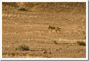
 Driving across Fogarty's Claypan on the way to Dalhousie SpringsThe Oodnadatta Track between Oodnadatta and Dalhousie SpringsA dingo on the way into Dalhousie Springs Sulphur-crested cockatoos in the wetlands around Dalhousie SpringsA galah in the wetlands around Dalhousie SpringsThe swimming hole at Dalhousie Springs

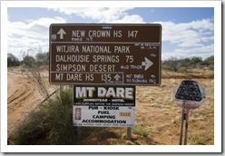
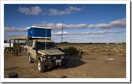
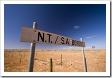
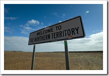
Sunrise at Dalhousie SpringsLisa about to take a morning dip at Dalhousie SpringsSam taking a morning dip at Dalhousie SpringsWe started today with a pre-dawn swim in the warm waters of Dalhousie Springs, we stayed in the water for almost an hour, so refreshing and what a beautiful sunrise.  A quick breakfast and we were off again on the mongrel of a track from Dalhousie to Mount Dare.  Take a look at the size of the boulders to the right below!  And those The track from Dalhousie Springs to Mount Dareboulders are the track, that’s not off to the side.  Once we passed Mount Dare, a cattle station that provides remote fuel and lodging for tourists, the road again became bearable, the corrugations a welcome respite from the rocks of Witjira National Park.  Dalhousie Springs was absolutely fantastic, but if I never have to traverse the road in and out of there again I’ll be a happy man!  We crossed the SA/NT border before reaching the aboriginal settlement of Finke, making our way the 140 kilometers to Kulgera and the Stuart Highway to refuel and find ourselves singing asphalt praises driving along the bitumen!  Another 150 kilometers north west of Kulgera is our home for tonight, our first night in the Northern Territory at Mount Ebenezer (S25°10.817′ E132°40.698′).

Almost in the Northern TerritoryCrossing the border from South Australia to the Northern TerritoryCrossing the border from South Australia to the Northern TerritoryCrossing the border from South Australia to the Northern Territory

South Australia

Share

William Creek

Australia, South Australia 1 Comment »
Planet View: S28°54.571′ E136°20.338′
Street View: S28°54.571′ E136°20.338′

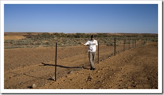
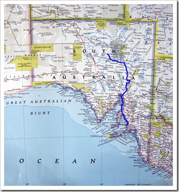
The beginning of the Oodnadatta TrackThe Maree petrol station ($1.79 for a liter of diesel!)An early start this morning as we were woken at sunrise by flocks of hundreds of sulphur-crested cockatoos that inhabit the dry creek bed at Farina.  Talk about nature’s alarm clock!  A quick Greek coffee, something both of us are addicted to after our time in Greece, and we headed off to quickly top up the tank at Marree.  Marree is the most we’ve paid for fuel yet, $1.79 for each liter of diesel ($USD5.42 per gallon), I’m going to keep track of fuel prices and see just how high they get!  We drove on our last stretch of paved road for a few kilometers just south of Marree, north of Marree is the official beginning of the Oodnadatta Track.  The Oodnadatta The dingo fence: the longest man-made structure on the planetTrack makes its way around the southern end of Lake Eyre, through a few stations along the way, for a total of a little over 400 kilometers from Marree to Oodnadatta.  It’s a favorite amongst 4WD enthusiasts, the stretch a vast expanse of dirt road covered in claypans, rocks and bone-jarring corrugations.  With the tires of The Tank let down around 20% and keeping her chugging around 80 kilometers per hour the corrugations weren’t too bad, although when we arrived at William Creek this afternoon we were greeted with a layer of red dust caked over everything close to the back doors (something we’d been warned about).  Just out of Marree we crossed the dingo fence, the longest man-made structure on the planet, stretching more than 5,500 kilometers.  We also passed along the southern edge of Lake Eyre South, the massive expanse of the lake stretching as far as the eye could see, the photo below to the right just doesn’t do it justice.  Lake Eyre’s elevation 12 meters below sea level was evident from the rings of salt encrusted around its edge.  We also ran into a couple more of the 4WD buses filled with retirees we encountered in Parachilna, we’re definitely the youngest people we’ve encountered along the way so far…

 On the Oodnadatta TrackOn the Oodnadatta TrackThe massive expanse of Lake Eyre

South AustraliaBrolgas on the Coward Springs wetlandsWe stopped off at Coward Springs (S29°24.052′ E136°48.796′) for lunch, a popular spot of yesteryear when the railway ran through on the way between Alice Springs and Adelaide.  Coward Springs is an oasis in the middle of the red dunes of the desert, mineral water bubbling up from the artesian basin below after traveling 2,000,000 years on its journey underground from Queensland.  The owners of the station surrounding Coward Springs have turned the railway ruins and surrounding wetlands into a campground and museum, it’ the only public campground between Marree and William Creek, quite a nice one at Sam taking a dip in the spa at Coward Springsthat.  The wetlands are host to an array of wildlife, particularly birds, we encountered a couple of huge red-headed brolgas picking for food alongside the creek, beautiful big birds.  The water bubbling up from the basin below is quite warm so I decided to take a dip in the springs’ desert spa.  Amazing to be in the middle of the desert one minute and then be relaxing in a warm bath the next.  I think a few of the other travelers making their way through were a little jealous they hadn’t brought their swimming gear when they saw me sunning myself in the tub! 

Coward SpringsLisa and the Tank at Coward Springs

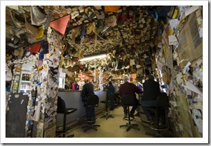
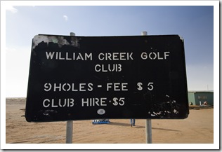
From Coward Springs we made the final stretch of our drive today to the eclectic town of William Creek.  The drive was dotted with  beautiful red dunes amid the saltbush-covered plains (we should have stopped for a photo) as well as mounds of dirt here and there pushed up by the water pressure from the artesian basin below.  William Creek boasts to be Australia’s smallest town with a population of 10.  It’s essentially a pub and a couple of ramshackle buildings in the middle of the desert, scraping through with the Lisa at the William Creek Hotelhelp of Wrightsair running scenic flights over Lake Eyre and The William Creek Hotel its location alongside the Oodnadatta Track.  William Creek is also in the middle of the world’s largest working cattle station, the Anna Creek Station covers a monstrous 5,875,000 acres making it roughly the size of Israel or Wales!  The William Creek pub, established in 1887, is at the centre of town and is an eclectic mix of treasures from all over the world.  The walls are covered with everything from Swiss exchange students’ ID cards to DD-sized brassieres left by tourists from Queensland.  Really quite a sight!  The pub also offers dinner, you can order up a chicken schnitzel for $28 (a chicken breast breaded and fried for you that weren’t born in Australia or Germany) and buy cans of VB at the bar for $6.50 a pop.  The pub manages everything from the adjacent campground to helicopter flights to the Painted Hills and also rounds of golf at the William Creek Golf Course.  Don’t think you’ll be seeing it on the PGA tour this year…  We’re spending the night here in William Creek tonight and taking a scenic flight over Lake Eyre with Wrightsair at 7:30AM tomorrow.  The lake is full of water once every decade or so, we’re both excited to see it from the air. 

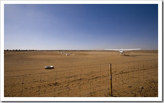
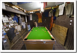
The William Creek airportThe eclectic William Creek HotelLisa playing pool at the William Creek Hotel William Creek golfThe William Creek busThe Oodnadatta Track north out of William Creek

Share

Flinders Ranges to Farina

Australia, South Australia 3 Comments »
Planet View: S31°24.622′ E138°33.701′
Street View: S31°24.622′ E138°33.701′

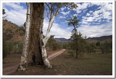
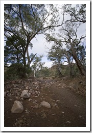
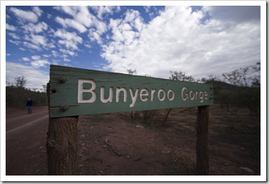
Lisa driving The Tank out of Adelaide with John standing by Yesterday morning we set off from Adelaide, The Tank laden with supplies, fuel, water and all our belongings (which finally arrived from San Francisco on Thursday!).  We set a course for the Flinders Ranges, arriving in the early afternoon through the National Park’s Brachina Gorge entrance and making our way south to camp for the night at  Bunyeroo Gorge.  We had enough daylight for a quick hike down a portion of Bunyeroo Gorge and into Wilcolo Creek.  Even though South Australia’s been receiving quite a bit of rain of late, the gorges and creeks in the Flinders The Tankwere unfortunately all mostly devoid of water.  The National Park was still as beautiful as ever, though, and we weren’t left wanting for wildlife as we started to run into kangaroos as soon as we set out collecting wood for our fire.  It starts to get dark around 5:30PM at this time of year in South Australia, so after a scrumptious bush dinner of jacket potatoes in the coals, scotch fillet and sweet potatoes we had a few glasses of wine and were in bed when the wood ran out around 7:30PM.  We did have a chance to lay out under the stars around the fire for a little while, we forgot just how many stars are in the sky, amazing to see the heavens lit up on a clear night when the closest city lights are hundreds of kilometers away.

The road down into Bunyeroo GorgeThe hiking trail along the dry bed of Wilcolo CreekBunyeroo Gorge River gums along Wilcolo CreekOur campsite at Bunyeroo GorgeSweet potatoes over the coals

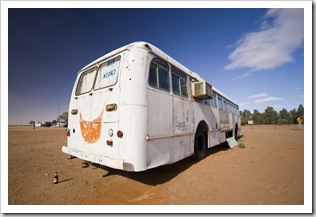
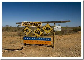
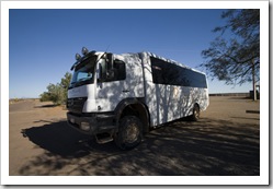
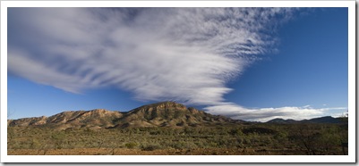
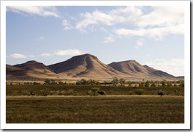
The Flinders RangesOur aim today was to get moving early and make the 12 kilometer round trip hike into Blinman Pools before lunch, then to the famous Prarie Hotel in Parachilna for a bite.  We had quite a few photo stops along the way, the morning sun had the eastern ridge of An inquisitive kangaroo on the road between Brachina Gorge and Blinmanthe Ranges lit beautifully this morning so I had to take some snaps.  We also encountered a few kangaroos and emus on the road between Brachina Gorge and Blinman.  We arrived at Angorichina Village at around 9:45AM to begin our hike, lucky our fuel tanks were full because the diesel at Angorichina was $3.89 per liter (that’s about $USD11.78 per gallon)!  The Blinman Pools trail makes a 12 kilometer out-and-back along Blinman Creek to the two sets of cascading pools and a couple of waterfalls along the way.  Even with the recent rains the waterfalls were still dry, it appeared to have been quite some time since they’d flowed, but the pools were full of water and worth the walk.  We encountered quite a number of euros (euros are small kangaroos that look like wallabies) as we walked along the dry creek bed to the pools, a number of them seemed to be Road sign advertising the Prarie Hotel in Parachilnaquite familiar with hikers and allowed Lisa to walk within a few meters before hopping off.  We were hoping to catch a glimpse of some rare yellow-footed rock wallabies, which supposedly inhabit the area, but no such luck today…  The round trip hike to the first pools took us around two hours and 15 minutes, giving us enough time to high-tail it out of the National Park and west to Parachilna for lunch at the Prarie Hotel.  The Another way to see The OutbackPrarie Hotel is famous for serving up what it calls road kill, but is really restaurant-quality Australian fare such as emu and kangaroo, as well as the odd import like camel.  Lisa and I enjoyed an emu and kangaroo burger respectively, bacon and a fried egg to boot, and both agreed that it was probably the best burger either of us have ever eaten!  We arrived just in time, a few minutes after we sat down a bus-load of seventy-something tourists arrived in the most bulletproof looking bus either of us has seen (my grandma Rosabelle would call it a grey-power bus).  If you can’t do The Outback yourself, taking one of these (pictured to the left) is definitely one way to do it.

 The Flinders RangesA trio of emus alongside the road between Brachina Gorge and BlinmanFlinders Ranges emu Emus alongside the road between Brachina Gorge and BlinmanLisa alongside some euros on the hike to Blinman PoolsBlinman CreekA euro along Blinman Creek Blinman PoolsBlinman PoolsSam and Lisa at the first set of Blinman Pools 

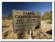
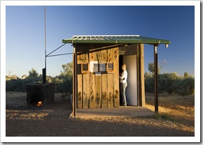
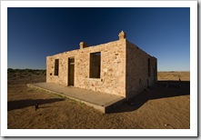
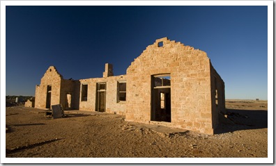
The Prarie Hotel in ParachilnaFarina CampgroundsAfter a more-then-satisfying lunch we refueled at Leigh Creek and made our way past the region’s massive coal mines, through Lyndhurst to the ghost town campground at Farina (S30°3.704′ E138°16.372′).  Farina is nothing more than a sheep station these days, the campground is run and maintained by the station owners, but the history and ruins of the old town were quite interesting.  Farina used to be the northernmost South Australian town accessible by rail until the track was extended to Marree some time around 1930 (if I remember correctly, I could be wrong…).  The town used to be a Lisa about to take a hot shower at Farina Campgroundsbustling little Outback metropolis, with two pubs, a The old Farina post officechurch, general store, post office, five blacksmiths, a school and a brothel.  The facades of a small number of the buildings are all that remain, eerily left standing amid the Martian-like surrounds.  The information boards erected by the station owners provide an interesting insight into the rise and eventual fall of the town as progress pushed the railway further north to Marree (and eventually Alice Springs).  The campground at Farina Station is a great spot, flush toilets (something I wasn’t expecting to see) and even an old donkey for hot showers (a donkey is an old Aussie shower system that uses a 44 gallon drum filled with water and heated by fire to have a warm rinse).  My fingers are about to freeze off typing this in the cold; tomorrow we’re pushing further north to William Creek to take a scenic flight over Lake Eyre.  The lake is full of water at the moment, something that happens only once every 10 or 20 years.

The old Farina Transcontinental Hotel and bush nursing hospitalThe old Farina Exchange Hotel

Share

Adelaide and Yorke Peninsula

Australia, South Australia 1 Comment »
Planet View: S34°51.798’ E138°28.728’
Street View: S34°51.798’ E138°28.728’

A bit of time to catch our breath (or so we thought) in Adelaide for a few weeks, we’re almost ready to head north on our way to Darwin.  Adelaide’s always very hectic for us when we visit, a lot of fun catching up with people we don’t see from one year to the next as well as spending time with my family, but after four weeks of dinners and drinks we’re ready for some time in The Outback. 

Dinner at Jerusalem Kebab on Todd's birthday before The PresetsOur first night in Adelaide my grandma Rosabelle took Lisa, my mum, my cousin Sophie and me to see Phantom of the Opera.  We caught Anthony Warlow in his last performance, a real treat, he was the phantom and was brilliant to see (and hear) in the flesh.  A little jetlagged after 35 hours on planes between Athens and Adelaide, but we managed to power through it after downing a few bottles of Coke through the night (I’ve never seen Lisa drink Coke before!).  Our first weekend we were fortunate enough to get hold of a couple of tickets to see The Presets at one of their sold out shows at Thebarton TheatreThe Presets (unfortunately [for him] one of my best mates couldn’t get a baby sitter for the night and, even though we offered to watch the kids, he was kind enough to give us his tickets for the show).  Lisa and I have never been big Presets fans, but after seeing them live we’re now converted.  By the time My People came on to finish up the concert the theatre must have been 45°C (113°F) and 99% humidity, a few thousand people jumping and jiving can sure heat up a concert hall.  Todd’s shirt was completely drenched, he had to go home to get another before we went to the pub after the concert.  A crazy concert, we’ve never before bounced around and done The Robot more in the space of two hours!

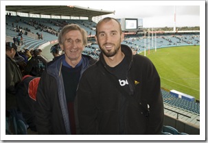
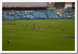
Lisa and John at the Port Power and Richmond Tigers AFL game The Port Power and Richmond Tigers AFL gameDad took us to the footy to see Port Power play the Richmond Tigers, and allowed us to use his tickets another time to see Port Power play the Freemantle Dockers with Owen and Erin.  We were glad to be able to catch up with Owen as one of his student’s sisters had contracted Swine Flu and thus Owen was on house arrest for a week during our time in Adelaide!  The game against Richmond was an absolute nail biter, the lead going back and forth throughout the game with the contest eventually coming down to a last-minute Port goal by Warren Tredrea who then ran down to defense to take a spectacular mark to save the game.  Instead of shouting his regular abuse at the umpires my dad became very quiet during the last few minutes, both Lisa and I had to check that he hadn’t cracked with the last-minute pressure!

A goal at the Port Power and Richmond Tigers AFL gameThe Port Power and Richmond Tigers AFL gameSam and John at the Port Power and Richmond Tigers AFL game 

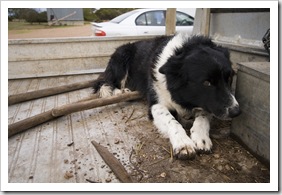
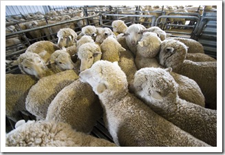
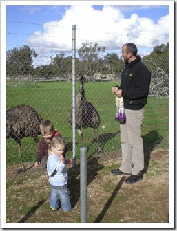
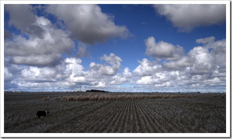
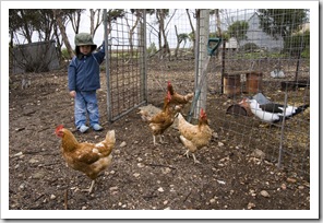
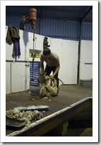
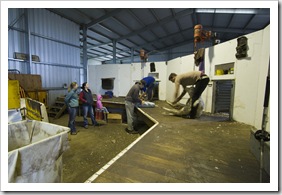
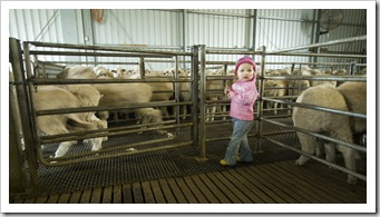
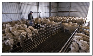
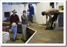
The Port Power and Richmond Tigers AFL gameBrian Brown We took a trip around Gulf Saint Vincent to visit the Browns on their farm (S34°41.041’ E137°33.672’) just north of Minlaton and also to test out The Tank for a night at Hardwicke Bay (I’ll talk more about The Tank in another post when we have a few more photos of it).  As always, it was great to see the Browns and be treated to one of Rebecca’s fabulous lamb roasts.  When we visited last year Eleanor, Ed and Rebecca’s daughter, was still mostly devoid of hair and just learning to crawl.  When we visited a couple of weeks ago she had discovered her voice and was walking around with a little personality of her own.  They grow so fast…  Max was his usual amusing self, babbling away at 90 miles an Crutched sheep on the Brown's farmhour, often in his own language, and generally providing Sam, Max and Eleanor feeding the emus in Minlatonus with entertainment during our visit.  I enjoyed spending a bit of time helping Ian herd some sheep between paddocks ready to be crutched (I’ll call it helping but I’m not sure Ian would!), reminded me of  being a little kid and how I’d look forward to visiting the Browns’ farm during school holidays.  Ed has two sheep dogs: a short-haired border collie named David Brown and a long-haired border collie named Brian Brown.  David was an absolute treat to watch in action, he’d heard a mob of sheep from one side of a paddock to the other without a single bark, using only his eyes to direct them where he wanted them to go.  An occasional beep of the ute’s horn (a ute is a truck for those of you in the northern hemisphere) and maybe a “get back” or “get way back” from Ian let David know whether he was heading the right direction, I’ve never seen anything like it.  Once in the shearing shed David was in his element, jumping all over the sheep to push them between pens and nipping at the heels of laggards who didn’t move quickly enough for his liking.  An amazing dog!  Ed, not one to overstate the capability of one of his pups, is of the opinion that David does just alright and will improve with age!  Our stay overnight in The Tank at Hardwicke Bay (S34°55.532’ E137°26.754’) went very well, the bed on the roof was very comfortable and the way the full-length drawers are setup make packing and unpacking very slick.  A few things we discovered during our test run that needed to be changed once back in Adelaide, but all in all we’re very happy with how things went. 

David Brown herding sheep on Yorke PeninsulaSheep and a colorful Yorke Peninsula sunset behind Rebecca and Ed Brown's house Navan Homestead on Yorke Peninsula (Ed and Rebecca Brown's house)Ian Brown moving sheep between paddocks on Yorke PeninsulaMax Brown Navan Homestead on Yorke Peninsula (Ed and Rebecca Brown's house)Navan Homestead on Yorke Peninsula (Ed and Rebecca Brown's house)Max letting out the chooks for their daily walkShearing at the Brown's farm Lisa, Rebecca and Eleanor stand by to watch the crutchingEleanor lending a hand with the crutchingIan and David Brown move the sheep between their pens Lisa and Margaret BrownMax BrownEd Brown sorting the woolMax Brown Ian and Margaret Brown's home on Yorke PeninsulaOur first night in The Tank on Hardwicke Bay on Yorke PeninsulaThe beach and dunes at Hardwicke Bay 

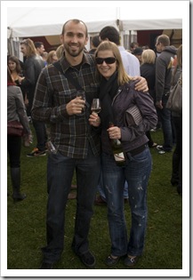
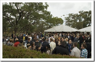
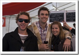
Todd and Tim at the McLaren Vale Sea and Vines FestivalTodd and Lisa at the McLaren Vale Sea and Vines FestivalOur last Sunday in Adelaide was spent at the McLaren Vale Sea and Vines Festival.  McLaren Vale is one of South Australia’s main winemaking regions and is located 45 minutes south of Adelaide, each year a handful of the Vale wineries hold a festival showcasing their wines paired with Sam and Lisa at the McLaren Vale Sea and Vines Festivalseafood dishes concocted by some of the region’s well-known chefs.  The event has been gaining more notoriety in recent years, this year over 22000 people attended and by lunchtime most of the wineries had reached capacity d'Arenberg Winery at the McLaren Vale Sea and Vines Festivaland had to close their doors to additional guests.  We spent our day split between d’Arenberg Winery and Chalk Hill Winery.  d’Arenberg was a veritable who’s who of Adelaide, lots of familiar faces and even a Tony Modra sighting by one chap I was talking with.  Chalk Hill was closed to new festival-goers when we arrived around 2:00PM so Todd, Tim, Lisa and I were forced to enter the back way (which involved walking crouched between vineyard rows and slipping in whilst the gaze of security guards was averted!).  A great afternoon with live music at each winery, the food was superb and wines on offer fantastic.  The wood-fired pesto prawn pizza at Chalk Hill Winery was absolutely to die for.  Unfortunately Lisa felt a little worse for wear the next day (the worst I’ve ever seen her!) due to the fact that the wineries sold wines by the bottle at each venue!

Todd, Mick and Lisa at the McLaren Vale Sea and Vines FestivalTodd at the McLaren Vale Sea and Vines FestivalTodd and Lisa at the McLaren Vale Sea and Vines FestivalTodd at the McLaren Vale Sea and Vines Festival Lisa and Ali at the McLaren Vale Sea and Vines FestivalTodd and Lisa at the McLaren Vale Sea and Vines FestivalSam and Todd at the McLaren Vale Sea and Vines FestivalTim, Lisa and Todd at the McLaren Vale Sea and Vines Festival

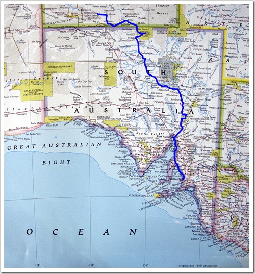
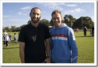
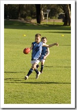
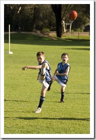
Sam and Todd at Triggs The rest of our time in Adelaide consisted mainly of working on The Tank during weekdays and dinners with friends and family during the evenings.  A few snafus with various components of The Tank were a little frustrating to get sorted out and our shipment from San Francisco being delayed absolutely drove us up the wall (it ended up taking 63 days to arrive instead of the quoted 35! [never ship with a company in the States called Discount Shipping or American Baggage]).  We were lucky enough to be in Adelaide for my cousins Rebecca and Katherine’s birthdays, as well as Cathie and Damian Hamilton’s thirtieth birthday party which was held at a suave bar on Rundle Street called The Distillery.  A few faces from my days as a student at the University of Adelaide that I hadn’t seen for many years at their party…  We also managed to catch a game of Jordan Opperman’s footy one Sunday morning, a few laughs watching the kids chase the ball around the oval.  And finally, we couldn’t have done without a fantastic 4WD and off-road recovery course from Tom Brown one night after a scrumptious dinner of his wife Marissa’s butter chicken.  It left us feeling well prepared for what lies ahead!  A month in Adelaide sure went by fast, great to see familiar faces and get more than the typical two weeks we spend back here whilst on vacation from work.  But we’re definitely ready to get moving again, we’ll do so in a couple of days as we head up the Red Centre to Darwin via the Flinders Ranges, Lake Eyre, Uluru and a few other stops along the way.

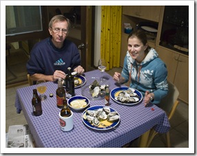
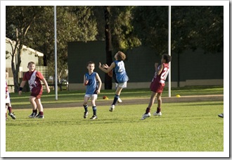
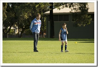
Oysters at John's house for dinnerJohn (with his eyes shut!) and Lisa enjoying oysters for dinnerJordan Opperman takes a mark Jordan Opperman takes a kickLike father like son...Sam and Sam OppermanJordan Opperman takes a kick Jordan Opperman takes a kickSam and PriyaRebecca Mayne's birthday

Share

Gallery: Greece

Galleries, Greece Comments Off on Gallery: Greece
Greece

A gallery of all the photos we took whilst traveling through Greece during April and May, 2009. The gallery currently includes photos from Thessaloniki, Kalambaka, the monasteries of Meteora, Santorini, Kerkyra (Corfu) and Athens.

Share

Athens

Greece 3 Comments »
Planet View: N37°57.918’ E23°43.559’
Street View: N37°57.918’ E23°43.559’

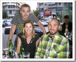
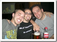
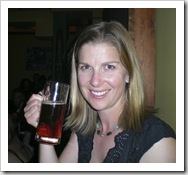
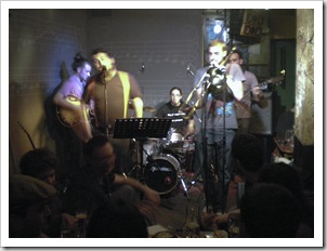
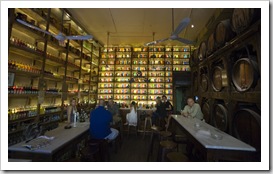
Jim, Lisa and Sam having a few beers in the Pangrati area of Athens Jim and his fellow band members before the show at Cafe AlvastronLisa trying the red beer at Cafe AlvastronWe spent three nights in Athens to explore Greece’s capital city, our last stop in Europe before making our way southeast to Australia.  On Saturday after a fantastic few days on Kerkyra we arrived to meet up with one of my childhood friends, Jim Staridas, who has been living in the northern Greek town of Ioannina for a couple of years.  I hadn’t seen Jim for probably close to 10 years but it was good to catch up over a few beers in Athens’ Pangrati Jim playing with Spiros Grammenos at Cafe Alvastrondistrict.  Jim plays the trombone in a band called Spiros Grammenos, spending his time split between gigs in his university-centric home town of Ioannina and traveling across the rest of Greece with the band.  We organized our arrival in Athens to coincide with a Spiros Grammenos gig at Cafe Alvastron as part of the venue’s Native Tongues Festival.  Greeks have astonishing stamina when it comes to late night drinking and partying, Spiros Grammenos didn’t start playing until around 11:30PM and were still playing when we left around 2:30AM!  A really fun concert, the crowd packed into the hip cafe venue sang along to a lot of the songs and even though we couldn’t understand a word of what was being sung we had a great time.  Spiros Grammenos performs a mix of comedy and jazz fused together, as long as we laughed along with everyone else we didn’t feel too out of place!  As with other bars and cafes in Greece, by the end of the night we’d inhaled enough secondhand smoke to equal smoking about a packet of cigarettes each!  Californians and Australians don’t realize how lucky they are when it comes to smoke-free public places.  It was a little tough to take photos in the dim lighting of Cafe Alvastron, but we snapped one of Jimmy playing (shown to the right) and also managed to take a couple of videos of the band with Lisa’s point-and-shoot camera which can be viewed here.

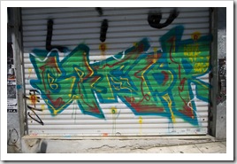
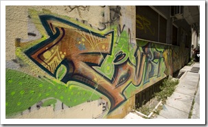
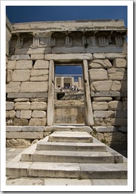
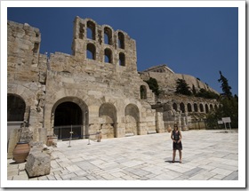
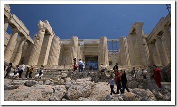
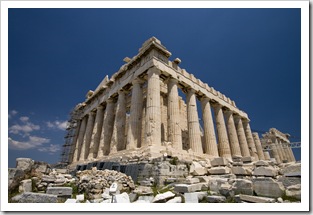
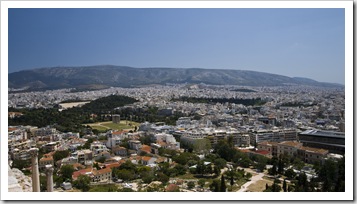
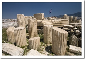
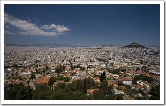
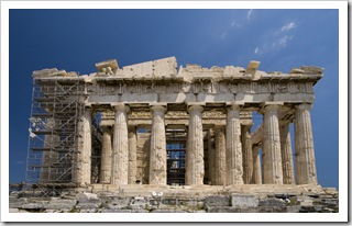
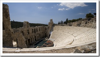
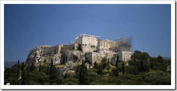
Graffiti on the streets of Athens Graffiti on the streets of Athens We stayed in Athens’ Koukaki district, a quiet area of the city just south of the Acropolis and old town area of Plaka.  We were a little wary of staying downtown after hearing horror stories from our friends in Santorini about drug peddlers and prostitutes sitting on the steps of their hotels in Omonia, but The Acropolis' Beule GateHotel Tony (N37°57.918’ E23°43.559’) in Koukaki proved to be quiet and safe for our few days in the capital.  Athens’ metro system was fantastic for moving about the city.  While Athens itself isn’t the cleanest place in the world, with graffiti lining most of the streets in the center of the city, the metro system and buses were extremely clean and efficient.  The metro trains seem to run almost constantly and offer a very cheap and quick way of getting around, €3.00 allows unlimited travel on all trains for a 24-hour period.  We spent a day exploring Athens’ famous Acropolis which was a short walk uphill from our hotel in Koukaki.  The views of Athens from the Acropolis were great, 360° panoramas of the entire city.  We spent an hour or two exploring the grandeur of the Acropolis’ ruins, then walked down around the edge of Monostiraki to the Ancient Agora.  The amount of effort the Greek authorities put into keeping the Acropolis presentable was quite evident during our visit, the Parthenon had one entire face covered in scaffolding as the wall was being transferred to one of the city’s museums to be replaced by a copy.  It was interesting to see the ancient ruins and imagine the civilization during the time of their construction; while the Acropolis was a sight to behold we didn’t rate it quite as grand as some of the ruins in Turkey, namely Termessos and Ephesus.  Definitely worth a visit, all the same…

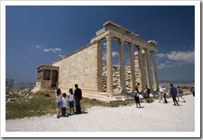
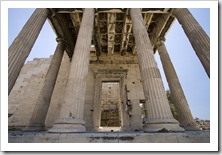
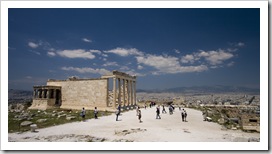
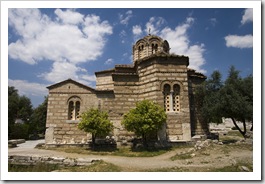
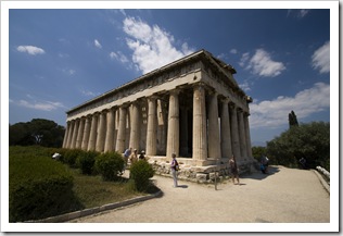
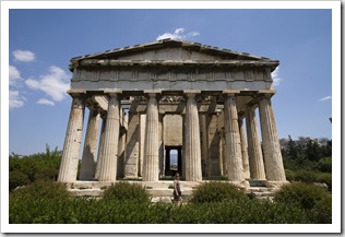
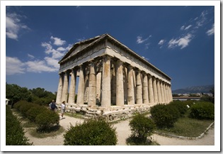
Lisa behind the Odeon of Herodes AtticusThe Propylaia at the main entrance to the AcropolisThe southwest corner of the Parthenon Looking east across Athens from the AcropolisThe AcropolisThe Erechtheion in the Acropolis The Erechtheion in the AcropolisThe Erechtheion in the AcropolisThe Erechtheion in the AcropolisThe Temple of Olympian Zeus and the Pangrati area of Athens The ParthenonLooking north across Athens from the AcropolisThe Parthenon The Odeon of Herodes AtticusThe AcropolisChurch on the walk between the Acropolis and the Ancient Agora The Ancient Agora's Temple of HephaestusThe Ancient Agora's Temple of HephaestusThe Ancient Agora's Temple of Hephaestus

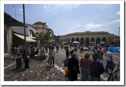
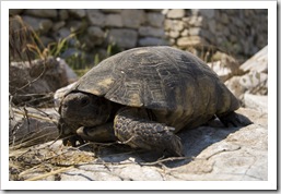
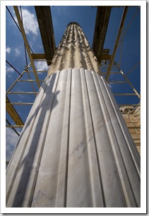
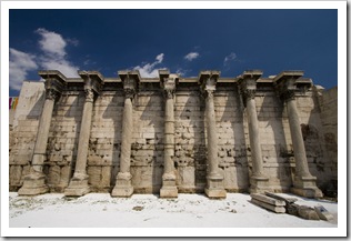
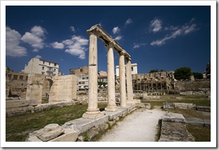
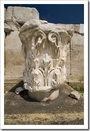
Monostriaki One of the occupants of Hadrian's Library Old and new marble in a pillar in Hadrian's Library After some time walking around the Temple of Hephaestus (the three photos above) we were beckoned to Monostiraki by the sounds of street performers and the bustling flea market.  The walkway bordering the Ancient Agora was filled with vendors selling everything from antique knickknacks to cheap kids toys, so much to see and so many different types of people.  The flea market is an interesting dichotomy of hip and trendy clothes stores mixed amongst some of the most junky antique stores we’ve ever seen.  The Greek teens love American clothing brands, with WESC shirts in almost every store as well as a number of Converse and Vans shoe stores dotted throughout Monostiraki’s narrow alleyways.  Another of Athens’ famous ruins, Hadrian’s Library, is located in the center of Monostiraki next to the metro station.  When we were there the columns of Hadrian’s Library were in the process of being reconditioned; to do so, new sections of marble are inserted into the ancient columns where the existing pieces require mending (pictured left).  Lisa had a keen eye in Hadrian’s Library, spotting a couple of the local reptilian inhabitants, one of which is pictured here (above right).  The tortoise here was the largest one we found, measuring around 30 centimeters (12 inches) across its shell!

The entrance to Hadrian's LibraryLisa at the entrance to Hadrian's LibraryHadrian's Library

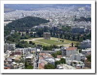
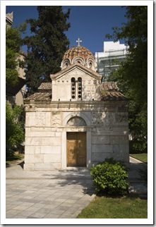
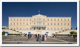
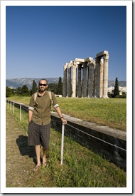
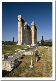
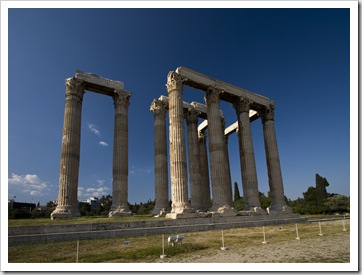
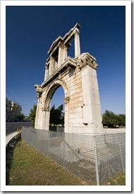
Hadrian's LibraryChurch of Theotokos GorgoepikoosFrom Hadrian’s Library we continued our walking tour through central Athens, making our way through more of the Monostiraki flea market and into the old town of Plaka.  We feasted on another €2.00 gyros (yiros) along the way and returned on another day to dine at one of the plethora of tavernas littered through the central tourist area.  Our walk through the old town toward Syntagma Square took us along a section of Ermou, Athens main shopping district, which houses stores of pretty much every designer label you can imagine.  Lisa couldn’t resist all the wares on offer and shelled out for a top at the Zara store on the main drag.  A coffee at Syntagma Square next to Greek Parliament and a walk throughBar on a backstreet in Monostriaki the Greek National Gardens took us to the Temple of Olympian Zeus (N37°58.178’ E23°43.954’).  The temple is a gigantic structure in the center of a large grassed area, another ruin that boggles the mind to think how it was constructed hundreds of years ago.  The Temple of Olympian Zeus is visible from the Acropolis, the view of it from the Parthenon is included up at the top of this post.  After the Temple of Olympian Zeus and a quick look at Hadrian’s Gate our feet had pretty much had it for the day, so we trudged the kilometer or so back to our hotel for a quiet dinner.   
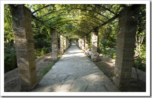
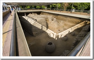
Greek ParliamentWalkway in the Greek National GardensRuins uncovered during the construction of the Athens metro system Sam in front of the Temple of Olympian ZeusLisa in front of the Temple of Olympian ZeusThe Temple of Olympian ZeusHadrian's Arch

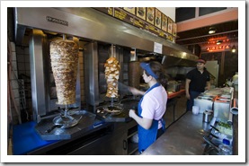
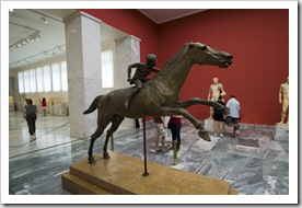
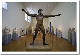
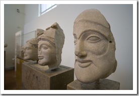
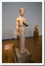
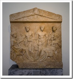
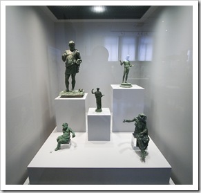
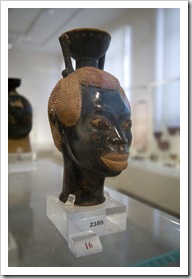
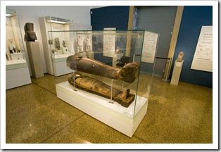
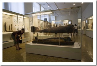
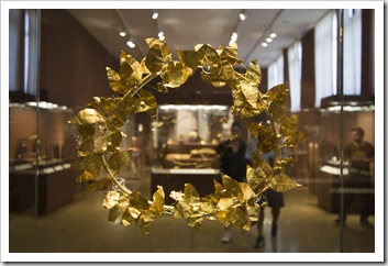
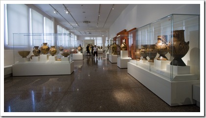
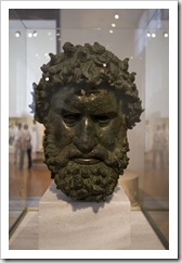
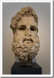
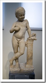
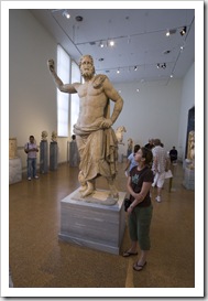
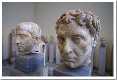
The best kebab shop on the planet located on Plateia Exarhion in ExarhiaBronze statue in the National Archaelogical MuseumOne could spend a month in Athens exploring the overabundance of museums spread about the city but, given our (my!) attention span for museums, we instead opted to explore only one of the most lauded museums: the National Archaeological Museum.  The National Archaeological Museum was a few metro stops from our hotel, we ventured up to the Exarhia area of Athens early Monday morning only to find that the museum opens later (12:30PM) on Mondays.  We killed an hour or two walking about the streets of Exarhia, making our way to the quiet courtyard-like square of Plateia Exarhion amidst the concrete jungle of high-rise apartment buildings.  I can’t quite remember its name, but if anyone reading this finds themselves Bronze statue in the National Archaelogical Museumaround National Archaelogical MuseumPlateia Exarhion in the Exarhia area of Athens make sure to have a bite at the gyros (yiros) shop on the western side.  It had, hands down, the best chicken gyros (yiros) either of us sampled throughout our travels in Greece, whole chicken breasts on the spit made for scrumptious fare.  The National Archaeological Museum isn’t as large as some of the other famous museums we’ve visited on our travels, but what it lacks in square footage it definitely makes up for in the sheer number of artifacts it houses.  We spent the whole afternoon viewing the expansive collection, everything from Egyptian sarcophagi to gold-leaf crowns and, my personal favorite, intricately detailed ancient bronze statues.  If we took our time we could have spent a couple of days there, I’m not a huge fan of museums but some of the wares at the National Archaeological Museum and especially the historical excerpts explaining most of the exhibits were absolutely fascinating.  One particularly eye-opening display was that of a 3000+ year old sarcophagus in the Egyptian section of the museum; upon examining the feet of the mummy we noticed that the toe bones of the skeleton were poking out of the tomb!
National Archaelogical MuseumNational Archaelogical MuseumBronze statues in the National Archaelogical MuseumNational Archaelogical Museum A 3000 year old sarcophagus (still containing the human remains) in the National Archaelogical MuseumNational Archaelogical MuseumLisa inspecting the toe bones of a 3000 year old sarcophagus in the National Archaelogical Museum Goldean leaf crown in the National Archaelogical MuseumOne of the many collections of amphora in the National Archaelogical MuseumNational Archaelogical Museum National Archaelogical MuseumNational Archaelogical MuseumLisa in the National Archaelogical MuseumNational Archaelogical Museum 

Athens completes our travels through Europe, we thought a month would be a long time to explore Greece and Turkey but it sure went by fast!  Next stop on our adventure is my home town of Adelaide in South Australia, where we’ll be for some time with my family before deciding what comes next.

Share
    • April 2024
      S M T W T F S
       123456
      78910111213
      14151617181920
      21222324252627
      282930  
  • Next...

      A couple of months cruising up Australia's east coast...