Barrington Tops National Park

Australia, New South Wales 2 Comments »
Planet View: S32°05.8809’ E151°06.8379’
Street View: S32°05.8809’ E151°06.8379’

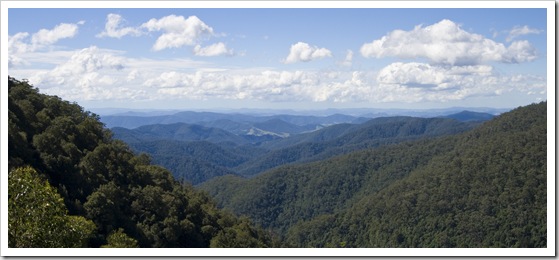
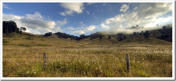
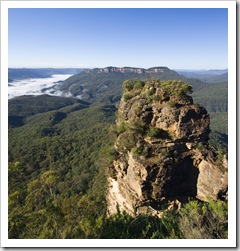
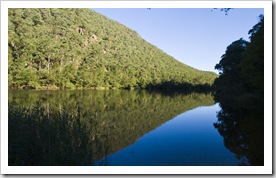
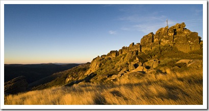
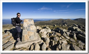
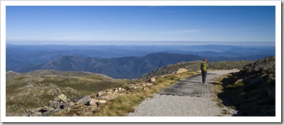
The view toward the coast from Gloucester Tops in Barrington Tops National Park

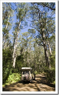
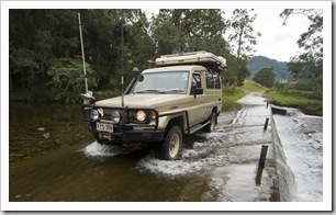
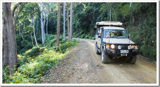
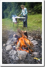
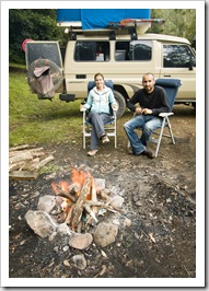
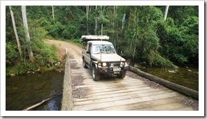
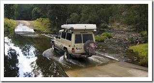
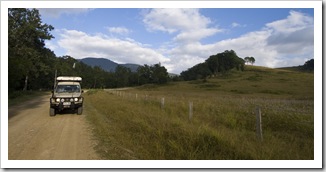
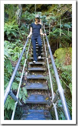
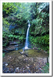
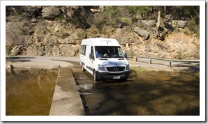
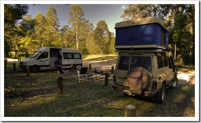
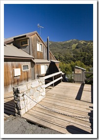
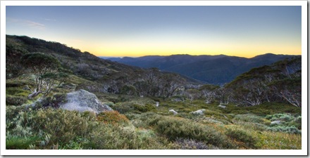
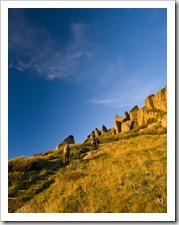
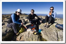
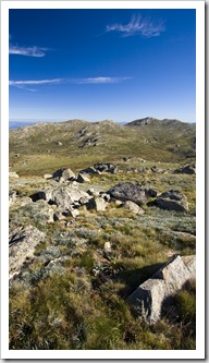
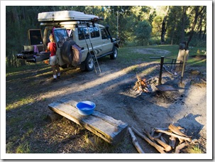
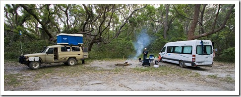
Barrington Tops National Park is a World Heritage Listed collection of striking peaks, waterfalls and crystal clear rivers roughly 150 kilometers (93 miles) inland from the coastal town of Forester.  Jill Newby suggested we make a stop off at Barrington Tops on our way up the coast from Sydney, there are so many National Parks along the central New South Wales coast that it was hard to choose where to go!  We took a scenic drive through some of beautiful cattle country between Broke in The Hunter, through Maitland, Dungog and eventually into the picturesque The Tank in Barrington Tops National Parkvalley on the way to the Gloucester River campground in Barrington Tops National Park.  There were a ton of water crossings on the way into the National Park, I think we counted six or seven, all shallow though and easily passable even in a Crossing one of the many water-covered causeways into Barrington Tops National Parkregular 2WD vehicle.  The Gloucester River campsite was a great spot, a grassy expanse in the sub-tropical rainforest with the sound of the powerful river ever-present.  We had the afternoon to kill once arriving at Gloucester River, so after staking out a camp spot we ventured up the dirt track to the peak of Gloucester Tops.  I wouldn’t want to be driving up to Gloucester Tops in the wet, the dirt road was quite boggy in spots and so steep we had to climb almost the entire way in second gear.  The track climbs 982 metres (3222 feet) in 18 kilometers between the Gloucester River campsite and trailhead to Gloucester Falls!  Amazing the different climatic zones we passed through on the way: from subtropical rainforest, through dense Eucalypt scrub and eventually to sub-alpine woodland at the peak.

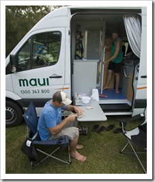
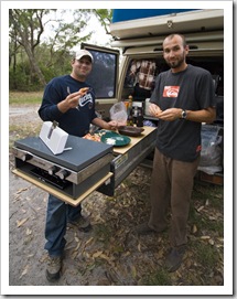
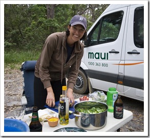
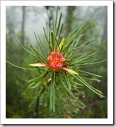
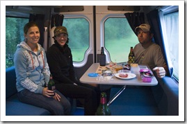
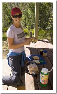
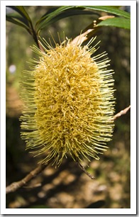
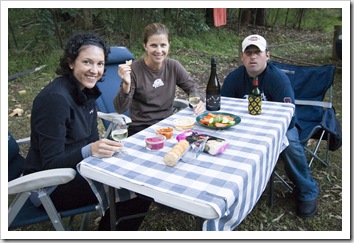
The Tank on the way down from Gloucester TopsMaking lunch at Gloucester Tops in Barrington Tops National ParkBanksia in Barrington Tops National Park 

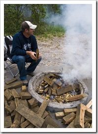
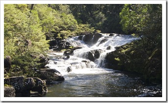
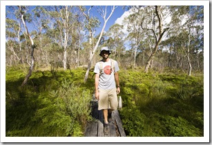
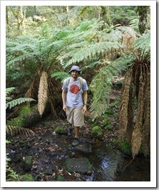
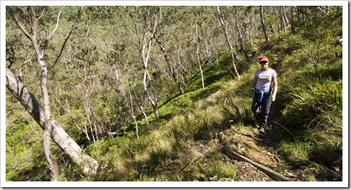
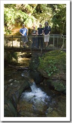
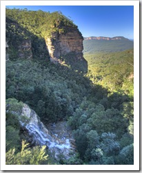
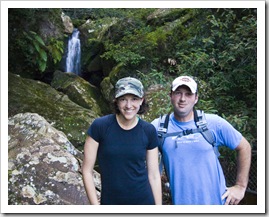
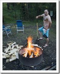
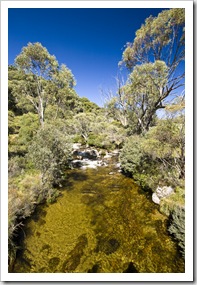
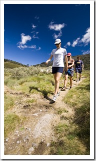
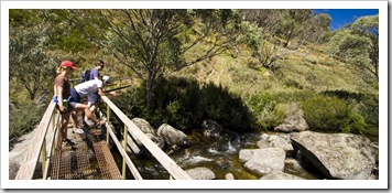
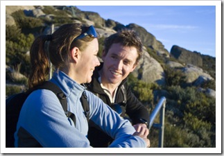
Gloucester FallsSam on the Gloucester Falls hikeWe spent the early afternoon hiking around the peak of Gloucester Tops, taking in roaring Gloucester Falls then along the Gloucester River and through the surrounding subalpine bush.  After making our way back down from the Tops to our campsite we ventured out of the National Park into the surrounding pastoral country to collect firewood before settling in for the night with a bottle of red and roasting campfire.  I tried to hook a few trout in the Gloucester River as the sun was waning but only managed to lose my favourite trout lure to an overhanging branch!  A great detour from the coast, thanks for the tip Jill!

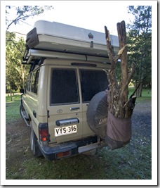
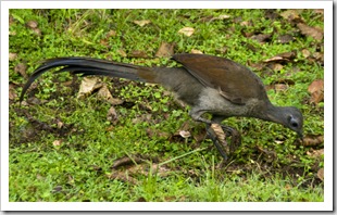
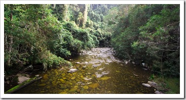
Sam on the Gloucester Falls hikeLisa on the Gloucester Falls hikeFull of wood at the Gloucester River campsite Camping at Gloucester River campsiteCamping at Gloucester River campsitePicturesque farmland on the drive out of Barrington Tops National Park Camping in style at Gloucester River campsiteA lyrebird at Gloucester River campsiteThe Gloucester River The Tank crossing the Gloucester RiverCrossing one of the many water-covered causeways into Barrington Tops National ParkPicturesque farmland on the drive out of Barrington Tops National Park Gloucester Tops near the town of Gloucester

Share

The Hunter Valley

Australia, New South Wales, Wines 1 Comment »
Planet View: S32°44.645’ E151°06.005’
Street View: S32°44.645’ E151°06.005’

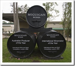
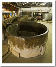
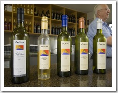
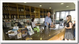
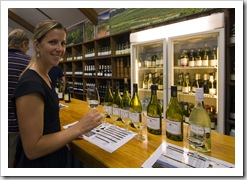
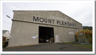
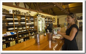
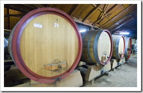
Sam and Lisa at McWilliams Mount Pleasant WineryHaving lunch in the parking lot at Adina WineryLeaving the warmth of the Newby’s home to venture back out into the rainy weather of the surrounding Sydney area took some extra enthusiasm.  We headed north through Sydney to reach the Hunter Valley wine region around midday.  Knowing that the Hunter Valley is best known for it’s Semillon, that’s what we focused on tasting.  First stop was the information center to pick up a wine map, here we learned the east side of the region has sandy soils and is better known for its Semillon.  Beginning on the eastern side of the Hunter we tasted at Adina Vineyard first and then Tatler Wines across the road, the Semillons were nice but it would be great to taste the Adina Winerysame wines again in five or 10 years.  The west side of the region is McGuigan WinesMcWilliams Mount Pleasant Winerycomprised of more clay-loam soils and is a bit more hilly, we headed to the famous McWilliams Mount Pleasant Estate in search of their well known Elizabeth’s Semillon.  For tasting that day they offered a 2001 Semillon as well as a 2004, amazing to see the color change and the honey-like texture of the aged Semillons, it almost seemed as if they’d been aged in oak, but none had ever seen a barrel.  We bought the 2004 to save for a few more years to see how it develops.  McGuigan Wines was our next stop, where we tasted a line-up of six different Tyrrell's WinesOpen-top concrete fermenters at Tyrrell's WinesSemillons, walking Adina Wineryaway with a bottle of 4 Gen Semillon which was made to represent the four generations working within the winery.  After a phone call to my father-in-law, John, he said that Tyrrell’s Wines was a must visit – it was by far my highlight of the day.  Their cellar door was open which allowed us to have a wander around, they have some open-topped concrete fermenters that I would love to experiment with (pictured here to the right).  Although the open-topped concrete fermenters weren’t used for the Semillons, they showed their strengths in some of the Shiraz.  The tasting room attendant was very enthusiastic and knowledgeable, he lined up eight-or-Lisa tasting at Adina Wineryso Semillons starting with a bottle of 1998, which was McGuigan WinesLisa sampling the fare at Tyrell's Winesabout to be over the hill but still quite good.  Interesting to watch the color change and taste the texture differences Bluetounge Brewerythroughout the range.  The Vat 1’s were most interesting, all of the wines ferment for about 15 days, never touching an oak barrel.  He also lined up some Shiraz, Hunter Valley Shirazes are very different to the famous Shirazes of South Australia’s McLaren Vale and Barossa regions.  At Tyrrell’s they’re all dry farmed and sourced from older vineyards.  One last stop in the region was at Sam’s request to visit the Bluetongue Brewery, where we picked up a carton of Alcoholic Ginger Beer (they need to make this stuff in the States!).  Thanks to the end of day light savings, by the end of our tastings it was high time to find a campsite for the night as it was approaching dark very quickly.  We found a great spot in a little area called Broke on the far west side of the Hunter Valley.  An interesting day, fun to visit another wine region of Australia where the locals are so proud of what they’re producing.

Adina WineryLisaa tasting at Tatler WinesMcWilliams Mount Pleasant Winery'Labels of the Hunter' at McGuigan Wines Tatler WinesLisa tasting at McWilliams Mount Pleasant WineryTyrrell's Wines

Share

Camping With Your 4WD

Australia, Magazines, Western Australia 1 Comment »

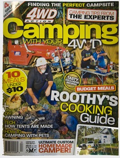
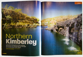
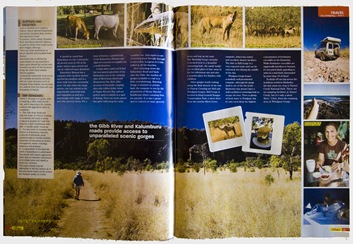
Camping With Your 4WDIn the newsagent the other day we came across the first of a two part article on Western Australia’s Kimberley region we have in Camping With Your 4WD.  The article pictured here tracked our travels across the Gibb River Road and up to the isolated Aboriginal settlement of Kalumburu.  Fun to see a big close-up of Lisa tackling Devonshire tea at Ellenbrae Station!

Camping With Your 4WDCamping With Your 4WD

Share

Sydney

Australia, New South Wales Comments Off on Sydney

Planet View: S34°00.007’ E151°04.417’
Street View: S34°00.007’ E151°04.417’

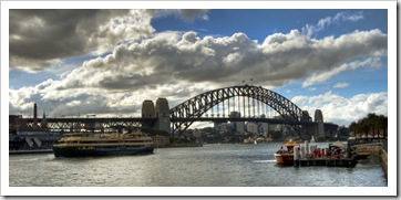
Australia's most famous strip of sand: Bondi Beach The Sydney Harbour Bridge and Opera House

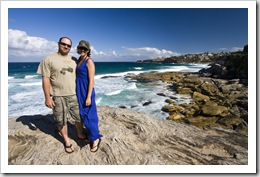
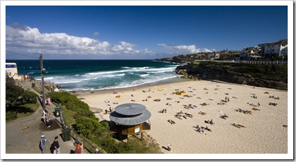
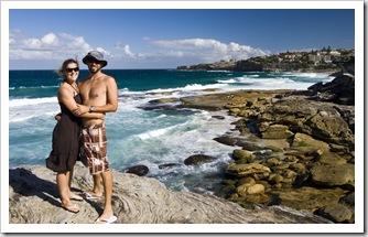
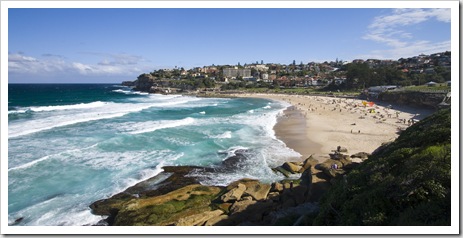
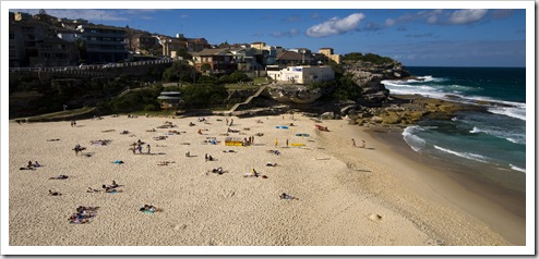
Jarrid and Jacque near Tamarama Beach on the walk between Bondi and BronteTamarama Beach on the walk between Bondi and BronteWe dropped off the Goose Shack by the airport on our way into Sydney city and took advantage of more sunshine for a swim at Australia’s most famous stretch of sand: Bondi Beach.  There were some big swells coming in on the day we were swimming, Jarrid and I both took some pummeling as we bodysurfed in the waves.  Great to take a walk along the cliff tops from Bondi to Bronte Beach, multi-million dollar properties on one side with the beautiful blue waters of Sydney’s metro beaches on the other.  We all agreed that Tamarama Beach, located between Bondi and Bronte, was the best spot for a swim along the way and would be a good spot to avoid the crowds of Bondi next time we’re in Sydney with beach weather.

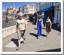
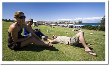
Jarrid, Jacque and Lisa cruising the esplanade at BondiLisa, Jacque and Jarrid taking it all in on the grass at BondiSam and Lisa near Tamarama Beach on the walk between Bondi and Bronte Bronte BeachTamarama Beach

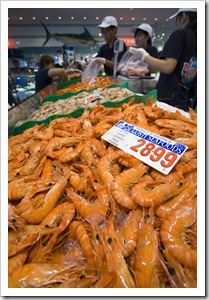
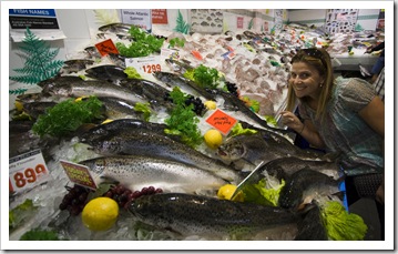
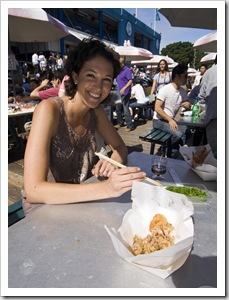
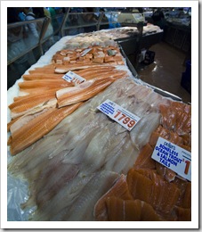
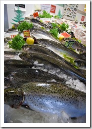
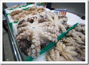
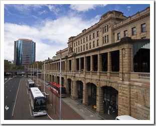
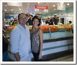
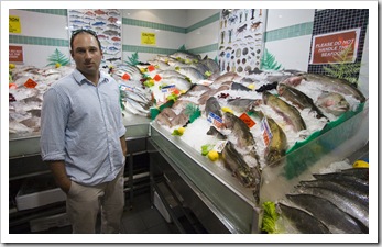
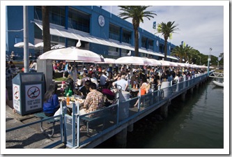
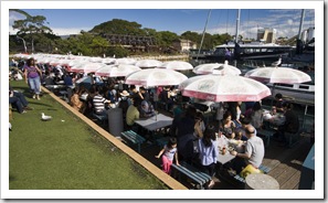
The Sydney Fish MarketLisa amongst a sea of fish at the Sydney Fish MarketJacque with some salt and pepper squid at the Sydney Fish MarketOn Friday night we ventured into Paddington to explore some of the pubs along Oxford Street.  A few beers at the Paddington Inn and then dinner at Arthurs Pizza was a good start to the night, unfortunately we didn’t realize that state regulations mandate all drinking establishments close at 10:00PM on Good The Sydney Fish MarketAtlantic Salmon at the Sydney Fish MarketFriday so our night exploring Paddington was cut a little short.  We spent Saturday touring the Bordessas around some of the more noteworthy sights of Sydney city, beginning our day with a train and tram ride to the famous Sydney Fish Market.  Established in 1966 the Sydney Fish Market is the largest of its kind in the southern hemisphere Fresh octopus at the Sydney Fish Marketand only second in the world in the number of species auctioned next to Japan.  It was an eye-opening spot, we explored some of the larger seafood processors, amazed at the number of different types of fresh fish on offer.  It was interesting to peruse so many of the species we’d seen spearfishing during the prior week.  Unfortunately the auction floor was closed due to the public holiday, but the market was still overflowing with people in for a day of fresh seafood.  The harbour edge at the market is lined with picnic tables, we secured a spot next to the water and with a bottle of sparkling shiraz enjoyed sashimi, soft-shell crab, Blue Swimmer Crab, Sydney Rock Oysters and some salt and pepper squid.  A really awesome spot!

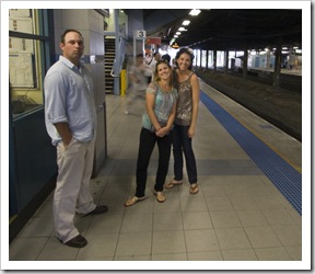
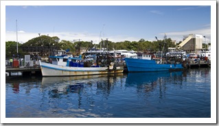
Jarrid, Jacque and Lisa waiting for the train at HurstvilleSydney Central train stationJacque and Jarrid on the tram on the way to the fish markets Jarrid and Jacque at the Sydney Fish MarketJarrid at the Sydney Fish MarketDining on the water's edge at the Sydney Fish Market The Sydney Fish MarketDining on the water's edge at the Sydney Fish MarketMoored fishing boats at the Sydney Fish Market

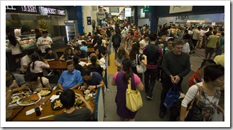
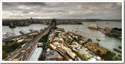
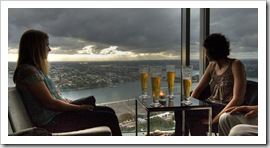
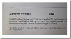
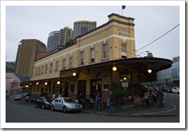
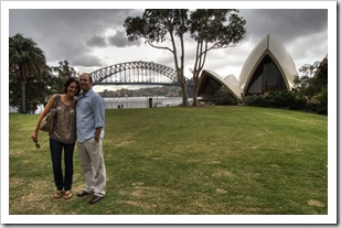
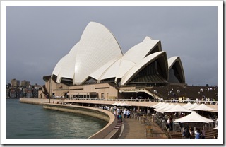
View of Circular Quay from the Shangri-La cocktail barLisa and Jacque at the Australian Hotel From the market we ventured to Circular Quay for a tour of Sydney’s most famous landmarks: the Sydney Harbour Bridge and Opera House.  An afternoon beer at ECQ overlooking Circular Quay was a great way to watch the world go by with a brilliant view of the Harbour Bridge in the distance, after which we took a stroll through the Botanic Gardens before having to escape the intermittent Jacque and Lisa enjoying the view from the top of the Shangri-Larain.  The Blu Bar at the top of the towering Shangri-La Hotel was an impressive spot from which to watch Walking through The Rocks on the way to the Shangri-LaThe most expensive cocktail I've ever seen!the sun set through the clouds with unparalleled views of the Opera House and Harbour Bridge, a bit of an eye-opener to see a cocktail on the menu for $10000 Jarrid and Sam(served with an accompanying diamond in the glass!).  We Lisa and Jacque in The Rocksspent the night touring through The Rocks, hopping from pub to pub between the rain and sampling some great local brews at a few of the bars.  We all had a hankering for Thai food but The Australian Hoteldue to the Easter long weekend the only Thai restaurant in the rocks was closed.  Always a Walking through Sydney after dinner at BBQ KingLisa and Jacque in The Rockssteadfast backup we instead ventured to a Saint Marks old collegians favourite: BBQ King on Goulburn Street.  “The best Chinese food I’ve ever eaten” according to Jarrid, BBQ King didn’t disappoint our late night hankering for a meal.

Another big thanks to the Newbys for donating the use of their house in Oyster Bay for our time in Sydney, as well as ET for his prompt text messages and suggestions over email all the way from Scotland as we tried to show the Bordessas the best Sydney has to offer (no thanks to Tariq for trying to send us to one of his favourite gay bars in Darlinghurst!).

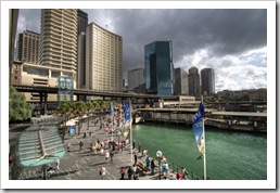
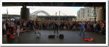
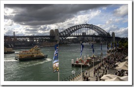
Jarrid, Jacque and Sam at Central train stationCircular QuaySydney Harbour Bridge Circular QuayStreet performers in Circular QuaySydney Harbour Bridge Enjoying  beer and some buubly at ECQ overlooking Circular QuayJarrid and Jacque in the Botanic GardensThe Opera House Lisa and Jacque in The RocksLisa and Jacque at the Australian HotelThe Australian Hotel The ArgyleSam and JacqueJarrid enjoying his ride home on the trainJarrid enjoying his ride home on the train

Share

The Blue Mountains

Australia, New South Wales 3 Comments »
Planet View: S33°43.536’ E150°18.163’
Street View: S33°43.536’ E150°18.163’

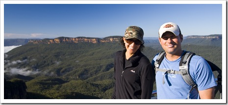
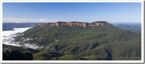
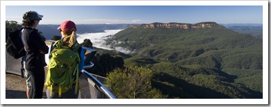
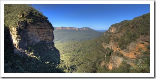
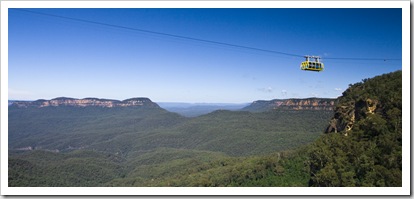
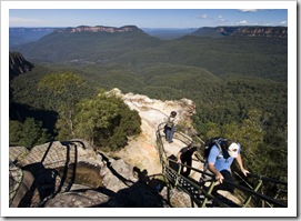
Panoramic of Blue Mountains National Park with the Three Sisters on the left taken from Echo Point

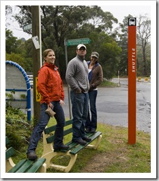
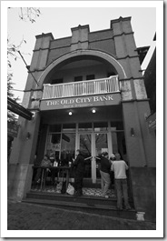
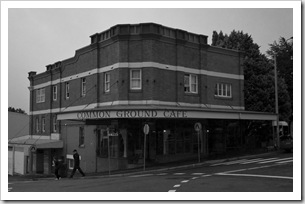
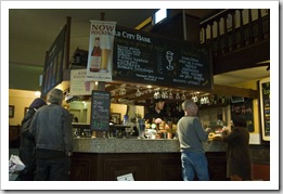
Lisa, Jarrid and Jacque waiting for the shuttle in KatoombaThe Old City Bank pub in KatoombaCommon Ground cafe in KatoombaThe rain continued as we headed into the Blue Mountains, unfortunately no views of the famous escarpments stretching into the distance as we cruised the highway from Penrith to Katoomba.  With the rain pounding down we opted to stay at the Katoomba caravan park instead of braving the bush.  With some fresh clothes we caught the town shuttle to the main street to explore some of the more noteworthy drinking and eating establishments (thanks for the tips Matty!).  We ate dinner and enjoyed a few beers at the Old City Bank pub at the end of Katoomba’s main street, as well as sampling some of the interesting menu items at the alternative-styled Common Ground cafe.

Jarrid and Jacque at the Old City Bank pub in KatoombaCommon Ground cafe in KatoombaThe Old City Bank pub in KatoombaSam and Lisa at the Old City Bank pub in Katoomba 

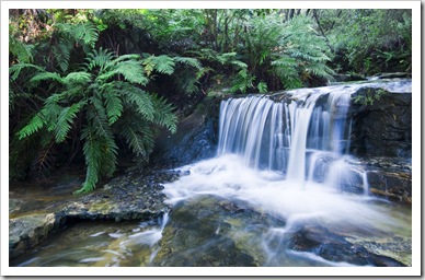
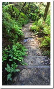
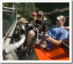
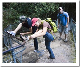
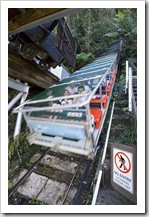
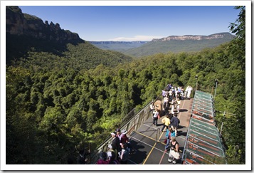
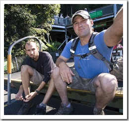
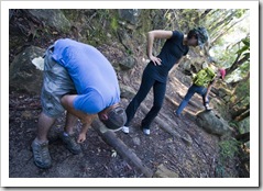
Leura CascadesChecking for leeches in Leura ForestWe woke on Thursday to stunning blue skies without a single cloud in sight, talk about timing our day of hiking through Blue Mountains National Park!  We got an early start from Echo Point with amazing panoramic views of the Blue Mountains escarpment and the famous Three Sisters, an awe-inspiring view with such clear skies thanks to the previous days of rain.  Our hike took us around the Prince Henry Cliff Walk from Echo Point, past the Three Sisters The hiking trail to Leura Cascadesand toward the Leura Cascades.  Lookouts dot the top of the cliffs all the way to Leura, panorama after panorama made the walk a journey through some amazing vistas all the way to the cascades.  After taking in the picturesque Leura Cascades we Lisa, Jarrid and Jacque on the Scenic Railwaytrudged down the escarpment along an interconnected series of steep stairways through moist temperate rainforest, having to stop a few times along the way to clear our shoes of leeches that we picked up in the dark and damp confines of the undergrowth.  It was a beautiful walk: striking cascades and waterfalls, amazing views and so many different climatic zones along the way.  We took a bit of a shortcut on the way back to Echo Point, instead of walking up the escarpment we took a ride on the Scenic Railway, the steepest funicular railway in the world.  It was definitely a hair-raising trip, we were seated in the front of the carriage as it was pulled backwards up the cliffs, the rail line becoming almost vertical a number of times along the way.  By the time we reached the vehicles back at Echo Point we’d been walking for almost four hours, one of our favourite hikes of the trip for sure.

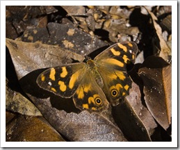
 Jarrid and Jacque at Echo Point in the Blue Mountains National ParkBlue Mountains National Park Jarrid, Lisa and Jacque at Echo Point in the Blue Mountains National ParkLeura CascadesBlue Mountains National Park The First SisterThe trail through Leura ForestBlue Mountains National ParkJacque walking through Leura ForestLeura Forest Checking for leeches in Leura ForestJarrid and Jacque in Leura ForestButterfly in Leura ForestThe Scenic Railway The Scenic Railway with the Three Sisters in the backgroundSam and Jarrid checking for leeches at the Scenic RailwayLisa and Jacque on the Scenic Railway The cable car in Scenic World in KatoombaWalking to Echo Point from Scenic WorldWalking to Echo Point from Scenic World

Jacque taking a shower at EurokaOur swimming spot in the Nepean River near the Euroka campgroundThe Goose Shack's first water crossingAfter a brilliant day exploring the hiking trails of Katoomba we headed down the mountains to the Euroka campground near Glenbrook, with a mandatory stop-off at Schwarzes Bakery in Wentworth Falls for lunch (thanks again for the tip Matty!).  Euroka (S33°47.989’ E150°36.962’) is located in the westernmost area of Blue Mountains National Park, a welcoming grassy clearing across the Nepean River from Glenbrook.  The girls found a hiking trail from the campsite to the Nepean River, we enjoyed the 30 minute walk to a great swimming spot in the river before returning to camp and enjoying a hot shower courtesy of The Tank.  An awesome spot to spend the night before returning to civilization in Sydney.

Camping at EurokaJarrid tending to the fire at EurokaJacque, Lisa and Jarrid at Euroka in Blue Mountains National Park

Share

The Shoalhaven And Eurobodalla Coasts

Australia, New South Wales 2 Comments »

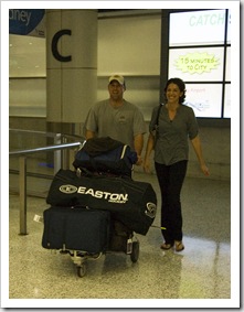
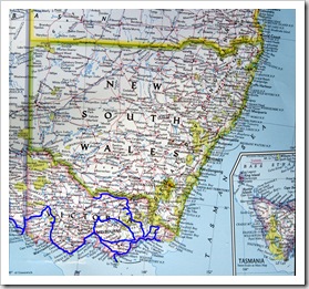
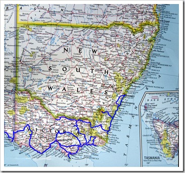
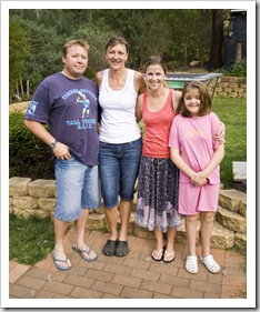
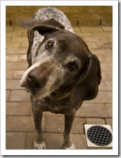
New South Wales and VictoriaAndrew, Jane, Lisa and LauraAndrew and Jane's German Short-Haired PointerWe left our wonderful Australian Capital Territory hosts, Will and Abi, in Canberra and ventured back to the coast for a few more days of reconnaissance through the Shoalhaven area.  On our way into Sydney we spent a night at Andrew and Jane Gow’s quaint country home in Hill Top just near Mittagong, Jane was Lisa’s nanny 25 years ago in California with whom Lisa’s remained in touch ever since.  We collected the Bordessas at Sydney airport early on Tuesday morning, something we’ve both been looking forward to ever since we left the States almost a year ago.  They had a smooth flight from Los Angeles and, other than Jarrid getting instructions that he should have declared his spear gun as a weapon on the way through customs, they were out of immigration quickly and ready for our drive south to Lake Conjola.
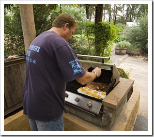
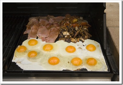
Andrew cooking up a storm for breakfastAndrew cooking up a storm for breakfastThe Bordessas arrive in Sydney 

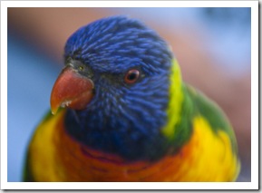
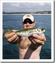
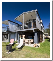
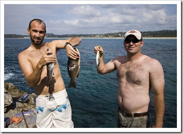
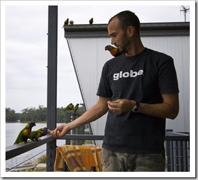
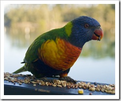
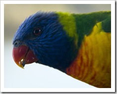
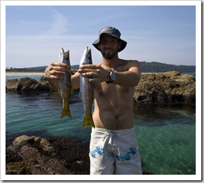
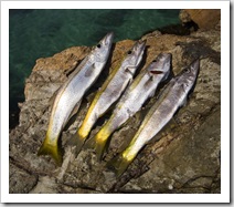
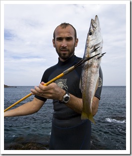
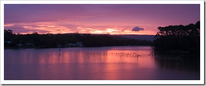
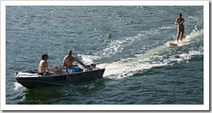
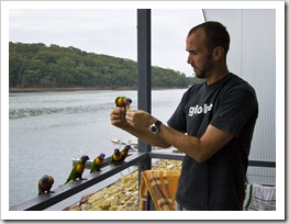
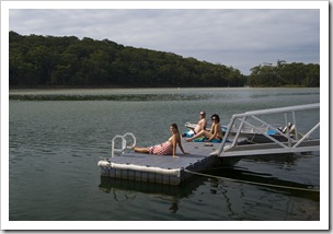
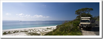
Jarrid kicking back at Lake ConjolaRainbow Lorikeets at Lake ConjolaLisa riding the surfboard in Lake ConjolaLake Conjola (S35°16.054’ E150°29.277’) is one of the many inlets along the Shoalhaven Coast, a picturesque and tranquil waterway nestled amongst Conjola National Park a few hours drive south of Sydney.  The Newbys, who previously featured in our travels when we visited King Island and when they lent Local wildlife at Lake ConjolaJarrid and Jacque at Lake ConjolaLisa’s parents their Land Cruiser for our month in Tasmania, were kind enough to allow us to use their holiday house at Lake Conjola to begin our time with the Bordessas’ tour of Jacque, Sam, Jarrid and John walking along the beach at Lake Conjolasouthern New South Wales.  When the immigration official at Sydney airport discovered where the Bordessas were traveling he told them that Lake Conjola is God’s country; he was spot on!  A beautiful secluded spot, the Newby’s shack is located less Electric sunset at Lake Conjola than 10 feet back from the water’s edge with a brilliant view over the lake and Lisa riding the surfboard in Lake Conjolasurrounding bush.  With a dinghy, surfboards, fire pit and beautiful beach at our disposal there was no shortage of things to keep us occupied.  A treat for Jarrid and Jacque to have kangaroos hopping past the house and a myriad of colourful Australian parrots frequenting Sam with some friendly Rainbow Lorikeets at Lake ConjolaJarrid and a Yellowtail near Mollymookthe balcony to begin their trip.  We scored some fantastic weather for the first week of the Bordessas’ Lisa, Jarrid and Jacque relaxing at Lake Conjolastay, blue skies and beach temperatures every day allowed them to work on their tan and enjoy the fantastic Shoalhaven beaches to the fullest.  During our tour up the coast before collecting the Bordessas I’d scouted out the best reefs in the Conjola area for a spot of spearfishing.  Jarrid and I The Tank at Hyams Beachdove a couple of times on the Bannisters Point reef at the end of Mollymook, crystal clear turquoise water and plenty of schooling Yellowtail made it tough to get out of the water both times.  Jarrid didn’t score any of the Kingfish he’d been dreaming about but it was a great spot, all the same…  We also took a day trip north to Jervis Bay and the famous Hyams Beach, a striking stretch of white sand with some great reef on which Jacque got to test out her new snorkel and mask.  Lisa’s been telling me for years about spending time at Lake Conjola as a child, none of us were disappointed!
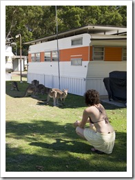
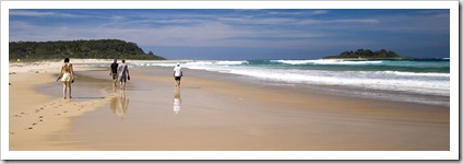
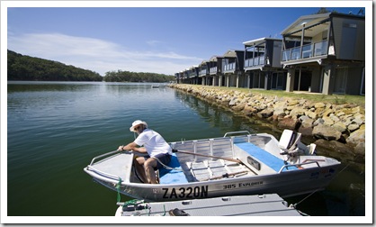
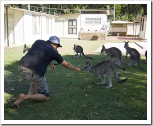
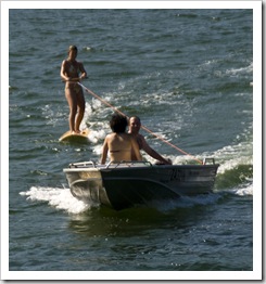
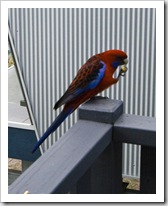
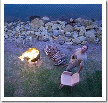
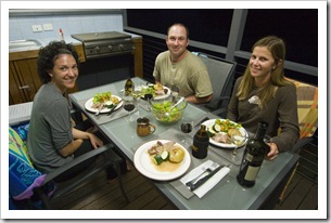
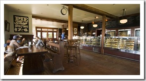
John getting the dinghy ready at Lake ConjolaLocal wildlife at Lake ConjolaOur humble abode on the water's edge at Lake Conjola Sam and Jarrid with fresh fish from the reef at Bannisters PointJacque holding dinner at Bannisters PointJarrid and Jacque at Lake Conjola Sam piloting the dinghy around Lake ConjolaJacque and a Rainbow Lorikeet at Lake ConjolaSam and some friendly Rainbow Lorikeets at Lake Conjola A Crimson Rosella at Lake ConjolaJarrid enjoying the fire at Lake ConjolaJacque, Jarrid and Lisa with a lamb roast at Lake ConjolaRainbow Lorikeets at Lake Conjola The Rainbow Pie ShopJarrid and Jacque towing Lisa behind the boatJarrid and Jacque taking a swim in Lake Conjola

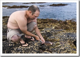
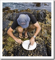
Gear at the ready for a swim at TomakinRainbow Lorikeets at Lake ConjolaSam with a couple of Sand Whiting at TomakinAfter the better part of a week and a few too many visits to the nearby Rainbow Pie Shop in Milton (thanks for the tip John!) we left the majestic surrounds of Lake Conjola and began our journey south along the Shoalhaven Coast.  We stopped off at McKenzies Beach near Tomakin and spent a couple of hours spearfishing off of one of the Tomakin points in Batemans Bay Marine National Park, the water was amazingly clear and so many fish.  I snagged enough Sand Whiting for everyone for dinner and Jarrid pulled in another Leatherjacket (which almost found its way into the jaws of a Wobegong Shark as he was swimming it back to shore) which he made into ceviche for afternoon snacks.  As we were cleaning our fish on the rocks a giant Eagle Ray sniffed out blood in the water and ventured in close for a look, the giant ray only just fit crossways in the channel in the rocks behind me in the photo to the right.  Other than the Manta Rays in Coral Bay it was definitely the biggest ray I’ve ever seen, not at all bothered by our presence he scooted back and forth in the channel for more than half an hour while we prepared our catch.

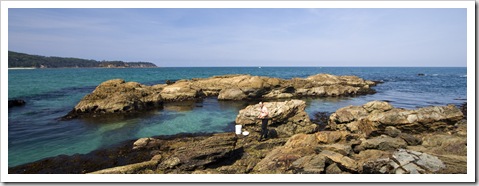
McKenzies Beach near Tomakin Jarrid getting his spear ready at TomakinJarrid with a monster Leatherjacket at TomakinFresh Sand Whiting for dinner at Tomakin

From Tomakin we headed further south to a camp spot at Congo (S35°57.270’ E150°09.414’) in Eurobodalla National Park.  The grassy clearing where we camped was located on the edge of Congo Creek, a great spot within a couple of minutes walk of a great surf beach where Jarrid and I spent the late afternoon bodysurfing in the swell.  I was willing to brave the stomach ache from eating fish as I sampled some of our fresh Sand Whiting for dinner, we played the first of many games of Presidents at Congo, enjoying the beautiful temperate weather late into the evening and catching a brilliant sunset over the creek at our doorstep.
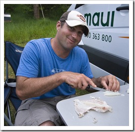
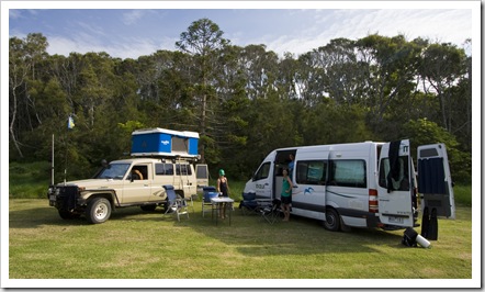
Jarrid slicing up his LeatherjacketCamping at CongoJarrid and Jacque putting the Goose Shack to good use Late afternoon sun from the campsite at Congo

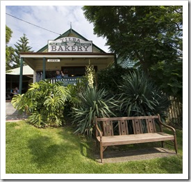
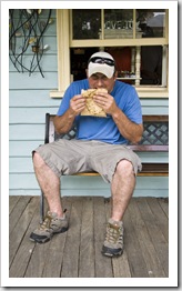
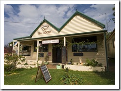
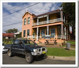
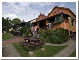
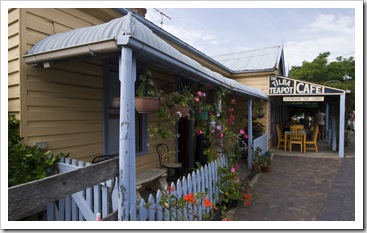
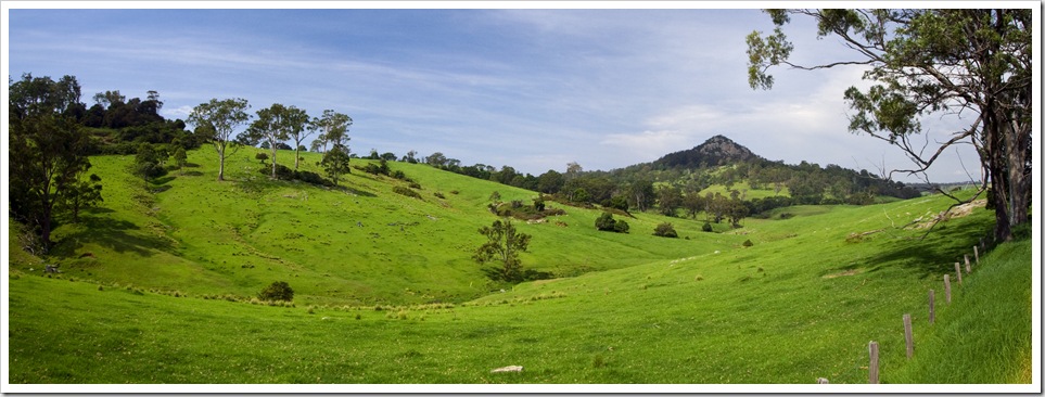
Fresh seafood from the harbour at NaroomaCentral TilbaJarrid enjoying a pie from Tilba BakeryFurther south we passed through Narooma, where we stopped off at one of the seafood processors for some fresh Sydney Rock Oysters as well as some Balmain Bugs (a type of slipper lobster) and local King Prawns.  We had to show the Bordessas the best of Aussie seafood during their visit…  We stopped off for lunch in Central Tilba, a cutesy heritage-listed town a couple of kilometers off the highway that we found on our travels between Thredbo and Canberra.  Central Tilba (and adjacent Tilba Tilba) boasts plenty of local craft stores, a leather shop, pub, bakery and the ABC Cheese Factory.  Jarrid and I enjoyed sampling yet another bakery for morning tea while the girls explored some of the shops and Jacque grabbed a couple of souvenirs.  Some beautiful countryside around Tilba Tilba, so green for the end of summer…
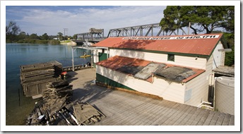
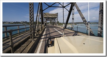
Fresh seafood from the harbour at NaroomaCrossing the bridge at NaroomaCentral Tilba Central TilbaCentral TilbaCentral Tilba Beautiful cattle country around Tilba Tilba

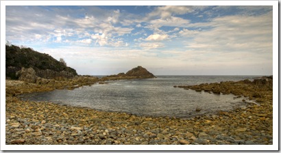
Mimosa Rocks in Mimosa Rocks National ParkSam and a sizey Sand Whiting at AragunnuOur next spot for the night was in Mimosa Rocks National Park near Merimbula.  Lisa and I discovered the Aragunnu campsite a week earlier when we were high-tailing it to Canberra, it was the only spot where we couldn’t bring ourselves to stay out of the water as we passed by.  The photo below doesn’t really do the spot justice, the pebbly beach and turquoise water (which doesn’t show in the overcast lighting) made it such a picturesque place.  The four of us all explored under the water of the protected cove below, Jarrid and I pulling in some more Sand Whiting and Leatherjackets for dinner the next night, and the girls having a hair-raising swim next to sizeable Fiddler and Eagle Rays.  The Balmain Bugs and prawns we bought in Narooma made for a great dinner of delectable seafood and more card games by the campfire took us late into the evening and through an entire bottle of vintage port between us!  We were visited by a friendly Bandicoot as we played cards by the campfire, great for the Bordessas to see such a unique Australian mammal up-close-and-personal in the wild.
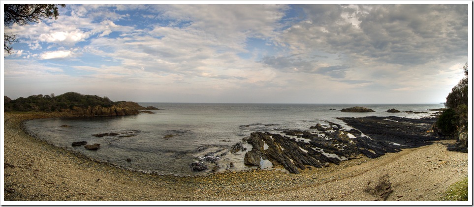
 The reef at Aragunnu in Mimosa Rocks National Park Camping at Aragunnu in Mimosa Rocks National ParkJarrid cleaning another Leatherjacket Sam cleaning a Sand Whiting at Aragunnu Jarrid getting the fire started at Mimosa Rocks National ParkCamping at Aragunnu in Mimosa Rocks National ParkCleaning Balmain Bugs and King Prawns at Aragunnu in Mimosa Rocks National ParkJacque working on a salad in Mimosa Rocks National Park

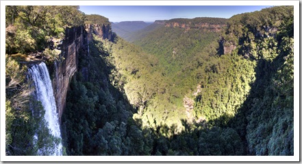
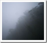
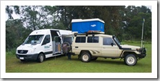
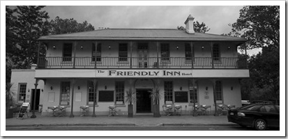
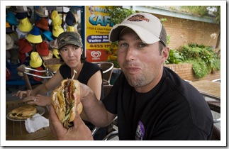
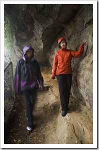
Fitzroy FallsOur view of the escarpment at Fitzroy FallsBack up the coast from Mimosa Rocks we stopped off for one more night at Lake Conjola to tidy the shack before heading inland to the Blue Mountains.  Jarrid and I stomached a burger with ‘the lot’ at the Mollymook fish and chip shop and promptly felt like entering a food coma (for you northerners ‘the lot’ entails grilled onion, a slice of pineapple, beetroot, a fried egg, bacon, cheese, ketchup, mayonnaise, tomato and lettuce!).  Jarrid and I took the dinghy out to Conjola beach one last time with the surfboards, catching some glassy conditions in the rain Jarrid and his first burger with 'the lot' for a surf and Jarrid giving us both a good scare when he mistook a water bird for a shark fin between sets!  We headed to the quaint Jacque and Lisa at Fitzroy FallsCamping in the rain in Kangaroo Valleyholiday settlement of Kangaroo Valley for a night on the way to the Blue Mountains, unfortunately battling some heavy rain all afternoon and evening.  Lisa and I had visited Fitzroy Falls near Kangaroo Valley a couple of weeks Jacque and Jarrid braving the wet at Fitzroy Fallsprior, the view we had in the sunshine (above left) a striking difference to the dense fog and lack of any kind of view we endured in the highland fog (above right).  We all endured the rain and made do by escaping to the Friendly Inn Hotel and then the dry confines of the Goose Shack (our name for the campervan the Bordessas hired for their trip), enjoying some tasty lamb chops and more card games late into the evening.  We camped on a grassy clearing next to the river at Bendeela, when we were all readying for bed we noticed the surrounds crawling with wombats.  They were quite used to people and allowed us to get within a metre of them as they mowed the grass in the late night rain.  I’ve never seen so many wombats in one place before, there had to be more than 20 of them!
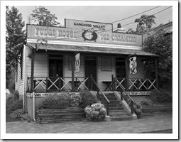
Kangaroo ValleyKangaroo ValleyKangaroo Valley The Tank crossing the bridge out of Kangaroo ValleyWildflowers in the rain at Fitzroy FallsCamping in the rain in Kangaroo ValleyJarrid and Jacque with some new Redback boots

Share

Australian Capital Territory

Australia, Australian Capital Territory 1 Comment »
Planet View: S35°18.467’ E149°08.446’
Street View: S35°18.467’ E149°08.446’

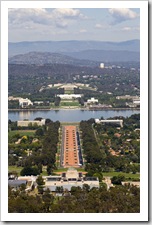
Canberra from the top of Mount Ainslie 

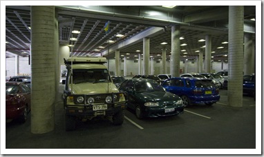
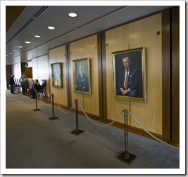
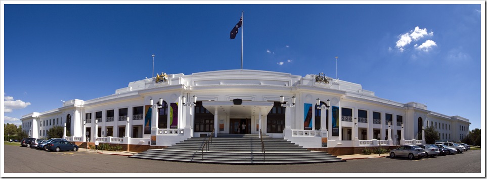
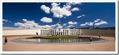
The Tank underneath Parliament House (the only underground parking lot she's ever been able to fit into!)From Thredbo we spent a couple of days doing reconnaissance along the southern NSW coast for our impending visit from the Bodessis, before heading back inland for a few more days with Will and Abi in Canberra.  For you northerners, Canberra is located in the Australian Capital Territory, Australia’s equivalent of Washington D.C.  We arrived in town a couple of hours before Abi was off work for the day so drove to Capital Hill (yes I spelled that correctly) to take a look at Parliament House.  I should Parliament Housemention that underneath Parliament House is possibly the only underground parking lot in the country capable of housing The Tank: with a 4.1 metre clearance the vehicle and Blue Room had no problem parking underneath Australia’s seat of government.  Fortunately for us parliament was in session when we visited and we happened to stroll in when question time was underway.  After a few rigorous security checks (during which time I had to give up my camera, so no photos) we entered the gallery in the House of Representatives to watch the politicians that run this great country heckle each other while the speaker attempted to maintain order.  The most entertaining point of question time occurred when the Treasurer started hassling the Leader of the Opposition about his “budgie smugglers” (American: Speedos), which was followed by Bronwyn Bishop requesting that the speaker “please remove the Treasurer’s potty-moth remarks from the record.”  Amazing that these are the people that run the country!  And also amazing that anything really gets done!!!
Old Parliament House

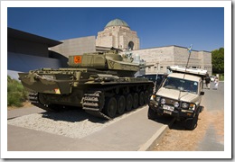
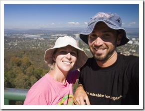
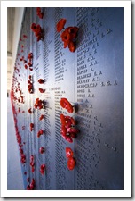
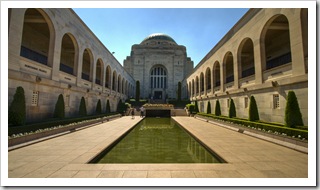
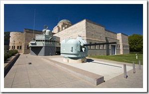
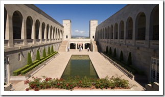
Parliament HouseLisa and AbiWe had tickets to see Angus and Julia Stone at Australian National University on the Tuesday night we were in Canberra.  Apart from the artists requesting that the air conditioning be kept off during their performance, making the venue at least 40°C (104°F) with 99% humidity, it was a fun concert and a great night had by all.  While Will and Ab were spending their day doing what most honest Australians do on a Two tanks at the War Memorialweekday (working!), Lisa and I climbed Mount Ainslie for a brilliant panoramic view of the city of Canberra and Parliament House.  We also made a visit to the Australian War Memorial, consistently awarded one of the world’s best museums, it was an insightful journey through Australia’s military past.  One could spend days touring the museum, we only visited the post-1945 conflict displays which were themselves enough to keep us occupied for over an hour.  Oh, and it was quite a hoot to be able to take a photo of our tank next to a real Australian military tank (pictured to the right here).  Awesome to be able to visit more friends along our travels, thanks again Will and Abi for such a brilliant tour of Thredbo and your hospitality in Canberra!

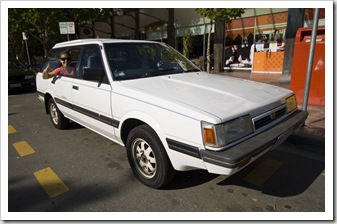
Canberra from the top of Mount Ainslie The War Memorial, ANZAC Parade and Parliament House from the top of Mount AinslieLosa rockin' in Will's SubaruLisa and Sam on top of Mount AinslieThe War Memorial The War MemorialThe War MemorialThe War Memorial Lisa and Abi taking a walk around Lake Burley GriffinRoast lamb at Will and Abi's apartmentRoast lamb at Will and Abi's apartment

Share

Thredbo

Australia, New South Wales 1 Comment »
Planet View: S36°30.156’ E148°18.525’
Street View: S36°30.156’ E148°18.525’

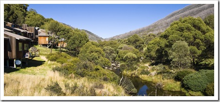
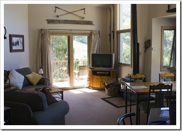
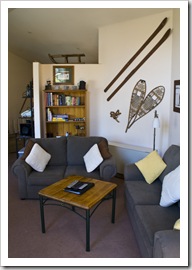
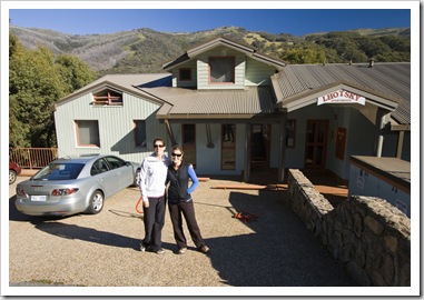
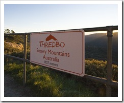
Thredbo Village and the Thredbo RiverAbi and Will organized to meet us in Thredbo for a weekend at their favourite Lhotsky Apartments in the centre of the ski village.  As with our visit to Mount Hotham in the Victorian High Country, I grew up skiing at Thredbo but had never visited during summer.  It’s a beautiful place, winter or summer, the village with the crystal clear Thredbo River running through its centre and an array of activities to keep any outdoorsman occupied.  The apartment that Will and Abi rented for the weekend was like a palace for us: wood-fired stove with plenty of wood, amazing sleeping quarters, TV, DVD, fantastic kitchen and a beautiful view of the ski resort.  We arrived at the apartment mid-afternoon on Friday, making the trip up from Geehi Flat on the inland side of the mountains over the peaks and down into Thredbo Village.  It was another beautiful mountain drive with some amazing views, although, as usual, The Tank wasn’t too keen on climbing up some of the steeper sections of the road in the thin mountain air.

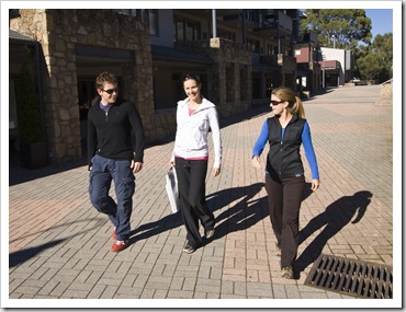
Our abode at Lhotsky Apartments in ThredboOur abode at Lhotsky Apartments in ThredboAbi and Lisa out front of Lhotsky Apartments Thredbo village with the ski mountain in the backgroundWill, Abi and Lisa walking through Thredbo villageThredboThe Thredbo River

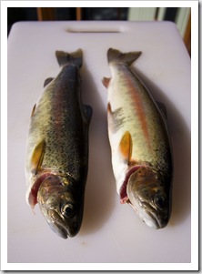
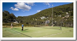
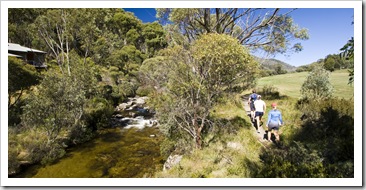
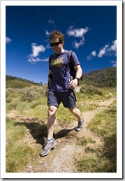
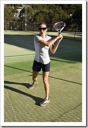
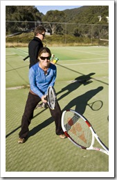
Abi, Lisa and Will on the Dead Horse Gap hiking trailHiking along the Thredbo River to Dead Horse GapWe took things easy on Saturday, especially after I was allegedly a little generous with the red wine the night before, enjoying a bit of a sleep in and some of the scrumptious breads Will and Abi brought up from A couple of Rainbow Trout from the Thredbo RiverCanberra’s Silo Bakery.  We did take an eight kilometer (five mile) walk through the alpine countryside, winding our way up alongside the Thredbo River to Dead Horse Gap.  While the rest of the crew was taking an Abi, Lisa and Will having a hit of tennisafternoon rest I returned to the Thredbo River to try my hand at hooking some of the local mountain trout, pulling out a few that were enjoyed by all as a late afternoon snack.  There was one I hooked that had to have been the biggest trout I’ve ever seen, but just before I pulled him onto the bank he wriggled free.  Yes, the monster that got away (deep sigh)…  We also took a walk through the village to the Thredbo tennis courts, having a bit of a hit before hoeing into a delectable Will-and-Abi home made risotto for dinner.

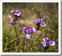
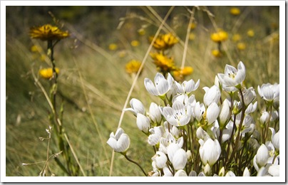
Hiking along the Thredbo River to Dead Horse GapMountain wildflowers on the way to Dead Horse GapHiking along the Thredbo River to Dead Horse Gap Mountain wildflowers on the way to Dead Horse GapWill on the Dead Horse Gap hiking trailAbi demonstrating her swing at ThredboLisa ready for a hit at Thredbo 

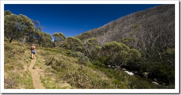
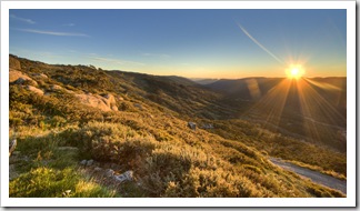
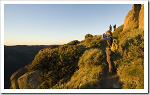
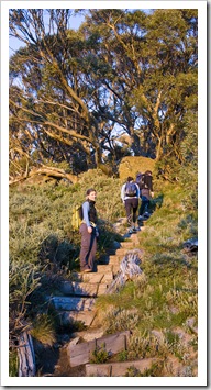
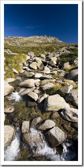
Sunrise from Eagles NestLisa below Eagles Nest at sunriseThe main aim of the four of us meeting in Thredbo was to hike to the top of Australia’s tallest peak: Mount Kosciuszko.  Thredbo is the closest ski resort to Mount On the way up Merritts Nature Trail just after sunriseKosciuszko, the top of the Eagles Nest chair only a short 6.5 kilometer (four mile) stretch from the peak. However, as the Eagles Nest chair operates in summer, our mountain Mountain sunriseguides (Will and Abi) strongly suggested we start hiking early in the morning to beat the crowds to the peak and have breakfast at the top of Australia.  So at 5:20AM the four of us woke and began the steep walk through the forested slopes of Thredbo in pitch blackness, hiking up Merritts Nature Trail to the top of the Eagles Nest Chair with only our headlamps lighting the way.  The sun rose when we were almost at the peak of the ski area, a brilliant feeling watching the sun come over the mountains and cover the alpine landscape in a warm, red glow.  We were all feeling the alpine temperatures well after the sun was beating down on us, I had my beanie and three layers on almost to the peak of Kosciuszko! 

The mountain glow before sunrise on the way to Mount KosciuszkoLit up at sunrise on the way to Eagles NestAbi and Will watching the sun rise from Eagles Nest 

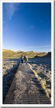
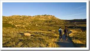
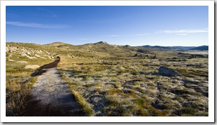
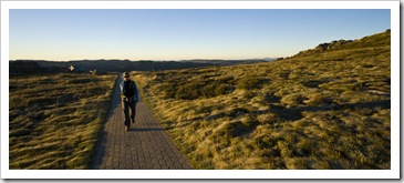
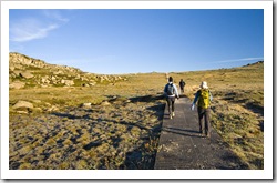
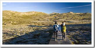
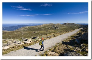
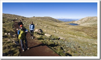
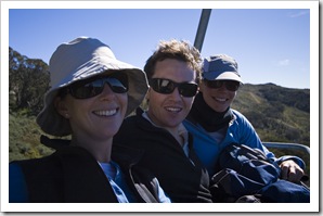
A frosty boardwalk on the way to Mount KosciuszkoAbi and Will walking from Eagles Nest to Mount KosciuszkoMount Kosciuszkois the uninteresting-looking bump on the leftOnce at the top of Eagles Nest chairlift the trail flattens out, climbing only a few hundred meters over the next 6.5 kilometers (four miles) of trail to Kosciuszko’s peak.  The high alpine bogs and swamps on the way to Kosciuszko from Thredbo are a fragile and delicate collection of flora, so the trail is made up of a raised metal grate boardwalk for most of the way.  The grate was covered in a thin layer of frost until we were almost at Kosciuszko, making some of the small inclines a little slippery, but at the same time the frost-covered plants covering the plains were absolutely beautiful.  The peak of Kosciuszko is unfortunately a bit of an uninteresting-looking bump on the horizon, not what one would expect of Australia’s highest peak, but it’s the highest point on the continent all the same.  Quite a cool experience being at the highest point of earth for thousands and thousands of kilometers.  Will had carried with him a thermos of hot coffee so we sat on top of Australia eating tuna wraps for breakfast, along with a hot cuppa and some dried fruit, leaving in the dark meant we had the whole peak to ourselves.  It was a majestic view from up there, the Snowy Mountains stretching off into the distance as far as the eye could see and nothing but vivid blue sky all around, we couldn’t have asked for better weather.  An awesome culmination to 11.5 kilometers (7.1 miles) and 987 metres (3238 feet) of climbing.

The view from the top of Australia at the peak of Mount Kosciuszko Lisa walking from Eagles Nest to Mount KosciuszkoThe trail through the high mountain plainsA frosty boardwalk on the way to Mount Kosciuszko Icy plants in the early morning lightIcy water with Mount Kosciuszko in the backgroundWill at the peak of Mount KosciuszkoLisa, Will and Abi having breakfast on the top of Mount Kosciuszko

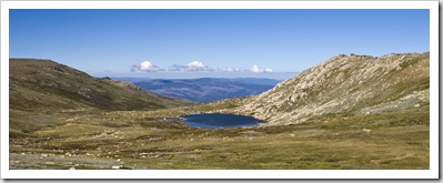
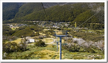
Looking north from Mount KosciuszkoLisa on top of the world near the peak of Mount KosciuszkoHigh mountain streamLisa got the chills sitting on the icy granite at the top of Kosciuszko (understandably) so we started our walk down after taking in as much as we could of the views and clean mountain air.  On our way back to the village Lisa and I were both very thankful for Abi and Will’s suggestion to begin hiking in the Lake Cootapatamba below Mount Kosciuszkodark: we crossed paths with throngs of hikers at around 10:00AM, obviously the first group of people up the Eagles Nest chairlift when it opened at 9:00AM, thus cutting out the majority of the vertical gain between Thredbo village and Kosciuszko’s peak.  Our original Riding the chairlift down to Thredbo villageplan was to take the same Thredbo route back to Thredbo village as we’d taken on the way up, but as we passed the top of Eagles Nest chairlift we all confidently walked onto the downward loading platform and, without a question from the lift operator, were whisked down the mountain for a free ride in style down the 572 meters (1877 feet) of steep vertical back to the village.

It was an awesome weekend, we had so much fun exploring the high country with Will and Abi, so generous of them to treat us to a weekend at Lhotsky, we’ll remember all their delicious meals and great company for some time to come!

Lisa on top of the world near the peak of Mount KosciuszkoLisa, Abi and Will with Lake Cootapatamba in the distanceRiding the chairlift down to Thredbo village

Share

Gallery: Victoria

Australia, Galleries, Victoria 1 Comment »
  • Perth and the Margaret River
Victoria

Photos from Grampians National Park, the Great Ocean Road, Otway Ranges, the Victorian High Country, Melbourne, the Australian Open, the Mornington Peninsula, South Gippsland, Wilsons Promontory, Lakes Entrance, Cape Conran, Snowy River National Park, Mount Hotham, Alpine National Park, Bright, Mount Buffalo National Park, Milawa, King Valley, Beechworth, Rutherglen, Echuca and Granya during January and March, 2010.

Share

Echuca And The Murray River Valley

Australia, New South Wales, Victoria 2 Comments »
Planet View: S36°07.121’ E144°44.406’
Street View: S36°07.121’ E144°44.406’

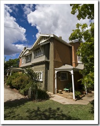
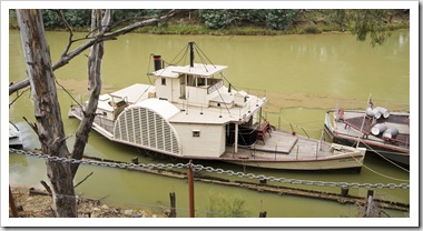
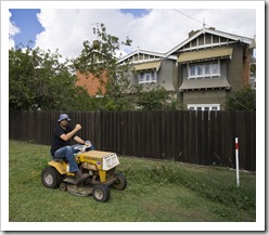
The Detmold family home in EchucaNew South Wales and VictoriaSam helping with the yard work at the Detmold house in EchucaWe made a bit of a side trip to visit Trudy Detmold in her home town of Echuca (S36°07.121’ E144°44.406’), where the Murray and Campaspe Rivers meet in northern central Victoria.  Paddle steamers used to travel from the Murray River’s mouth in South Australia over 1000 kilometers all the way to Echuca to transport grain and wool before the railways ruled transportation across country Australia.  We spent a couple of days enjoying Trudy’s fantastic hospitality, also exploring Echuca’s historic centre and taking a run through some of the surrounding bushland.

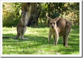
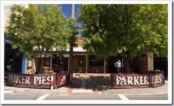
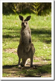
After a couple of days in Echuca we headed On our walk to Granya FallsLocal wildlife at Geehi Flatsback east toward the Snowy Mountains, aiming to meet up with Will and Abi in Thredbo for a weekend of hiking around Mount Kosciuszko.  On the way we made a stop in Rutherglen to dine at another bakery claiming to be Australia’s best: Parker Pies definitely has a pretty firm claim for the title in our book, the selection was absolutely mind-boggling.  From crocodile and crab, through lamb with mint and rosemary to chicken with bacon and tomato, the Parker Pies were absolutely fantastic and definitely worth sampling if ever in the area.  From Rutherglen we restocked in Albury just over the New South Wales border before crossing Lake Hume and heading to Granya State Park for the night.  On our way up to Thredbo we spent a while at Geehi Flats on the western side of Kosciuszko National Park, where I managed to land a Rainbow Trout from the crystal clear waters of the Swampy Plains River.  Geehi Flats was a beautiful spot, secluded campsites lining the banks of the Swampy Plains River, somewhere we would have definitely spent the night if we weren’t making a beeline to meet Abi and Will on the other side of the Great Dividing Range later that day…

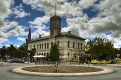
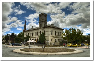
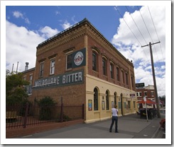
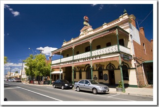
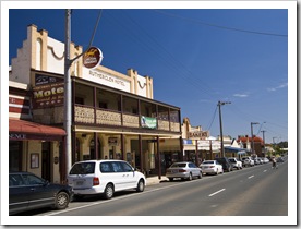
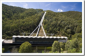
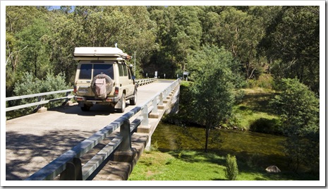
The old post office in Echuca's town centreOne of the many pubs lining Echuca's streetsAn old paddle steamer on the Murray River in Echuca Historic EchucaHistoric EchucaThe Detmold family home in Echuca The Detmold family home in EchucaSam helping with the yard work at the Detmold house in EchucaRutherglen RutherglenParker Pies: one of the best bakeries in AustraliaCrossing Lake Hume east of Albury Camping at Granya State ParkCamping at Granya State ParkCamping at Granya State ParkHydroelectricity in the Snowy Mountains View of the mountains looking up toward Mount Kosciuszko View of the mountains looking up toward Mount KosciuszkoCrossing the Swampy Plains River at Geehi FlatsFishermen in Swampy Plains River at Geehi FlatsLocal wildlife at Geehi Flats

Share
    • April 2024
      S M T W T F S
       123456
      78910111213
      14151617181920
      21222324252627
      282930  
  • Next...

      A couple of months cruising up Australia's east coast...