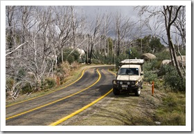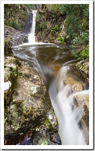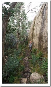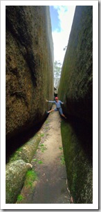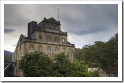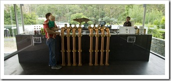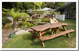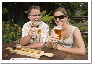
Wines Of The King Valley and Rutherglen

Australia, Victoria, Wines Comments Off on Wines Of The King Valley and Rutherglen

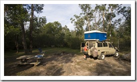
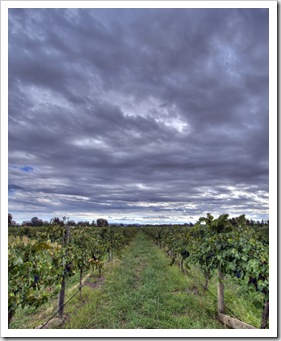
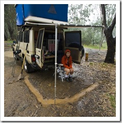
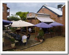
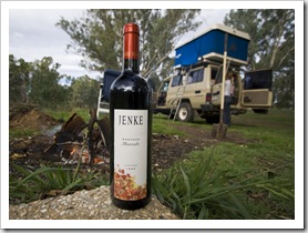
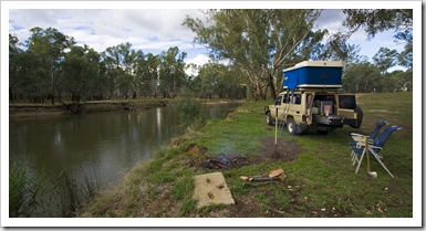
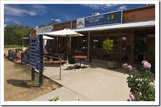
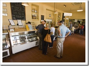
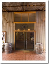
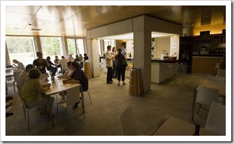
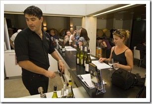
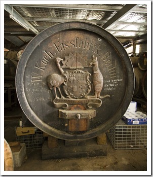
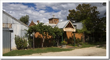
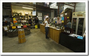
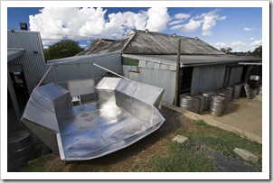
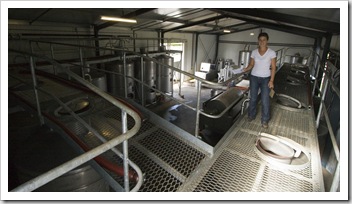
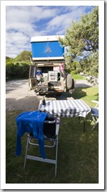
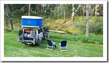
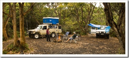
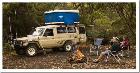
Sam Miranda WineryCamping in the rain near MilawaSam Miranda WineryIn-between attempting to escape the rain that had been plaguing us during our trip through the Victorian high country we spent some time exploring the wines of King Valley and gourmet food establishments dotted through the Milawa region.  In King Valley we stopped off at Wood Park Wines, Brown Brothers and Sam Miranda as well as the Milawa Cheese Factory and galleries of some of the local artists.  A great spot to explore whilst we couldn’t be outside!  We spent one night just outside of Milawa (S36°24.861’ E146°27.416’) on the banks of, if not for the torrential rain, would have been a beautiful river.  I have never seen it rain in Australia like it did that night, it just poured and poured, so much that I had to dig a little moat around the tank so we weren’t sloshing about in the mud.  We were a little wary sleeping next to a river in the Murray flood plains during such an eye-opening downpour, but during the few hours we were watching the water level it didn’t seem to rise, which left us somewhat at ease going to sleep for the night…

Milawa Cheese FactoryMilawa Cheese FactoryWood Park WinesSam Miranda Winery Wood Park WinesSam Miranda WinerySam Miranda Winery 

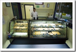
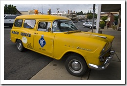
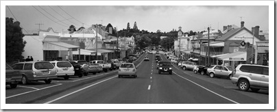
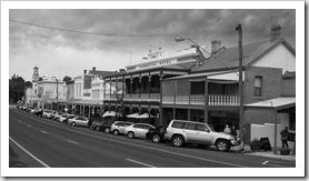
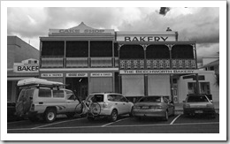
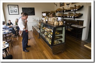
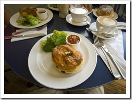
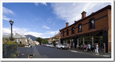
Bridge Road Brewery in BeechworthHistoric mechanic in BeechworthBeechworth is a small country town full of history located a short drive north of the Milawa gourmet region.  I’d read in a tourism brochure about Beechworth’s famous bakery, so of course there was no way I was going to forgo a visit.  We made our first foray into town one afternoon during the rain, and after sampling the Beechworth Bakery’s fine offerings, ended up returning the next day for lunch on our way to Rutherglen.  Beechworth Bakery’s slogan is ‘Australia’s best bakery’; I’m not sure if that’s deserved but it sure is a great place for lunch.  Beechworth is well worth a look if ever in the northeast of Victoria, with plenty of places to eat, designer clothes stores, a brewery and plenty of historical buildings, its easy to kill a few hours exploring all that’s on offer.

BeechworthBeechworthBeechworth Bakery Beechworth

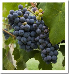
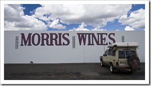
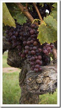
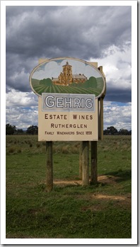
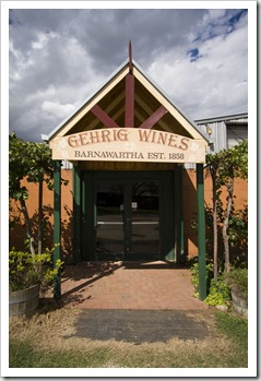
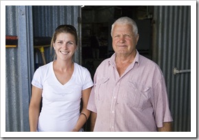
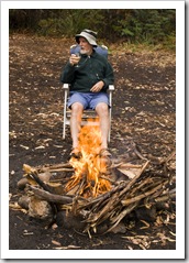
Morris of RutherglenAlong with the Barossa Valley, Rutherglen is one of Australia’s two original wine regions.  The first wineries established way back in the late 1850s and produced a great deal of Australia’s wine until the area was devastated by Phylloxera.  Camping on the banks of the Murray River in RutherglenToday the Rutherglen region is known for some of the country’s best dessert wines, particularly delicious Muscat and Tokay styles.  My dad has been sending us bottles of Morris Muscat to the States for as long as I can remember, so we were both keen to get a first-hand look at the Morris facility just east of the town of Rutherglen.  We also stopped off at family-owned Gehrig Wines, started in 1858 and today in the hands of the fifth-generation Gehrig winemaker.  Gehrig was a Camping on the banks of the Murray River in Rutherglentiny  place, harvesting only 100 tonnes of fruit each vintage, but they had some fantastic dessert wines and Lisa enjoyed having a long chat with the fourth-generation winemaker manning the tasting room when we visited.  After One of the employees at Chambers WineryGehrig we shot into the town of Rutherglen to make one last late afternoon stop at Chambers Winery, one of the other original wineries in the area.  We lucked onto finding one of the family manning the tasting room, Bill Chambers took a lot of interest in us once he realized Lisa used to work in the wine industry and sent us packing with a complimentary bottle of his scrumptious Muscat.  Unfortunately the rain was at us again in Rutherglen, but we managed to find some time for a nice fire on the banks of the Murray River at Police Paddocks (S35°58.824’ E146°30.201’) just outside Rutherglen.  A fantastic area to visit, a lot of history in the wineries and the people were so friendly and accommodating.

Morris of RutherglenGehrig WinesGehrig WinesChambers Wines Gehrig WinesChambers WinesChambers Wines Lisa and Bill ChambersChambers WinesChambers Wines

Share

Back In The High Country

Australia, Victoria 5 Comments »

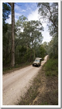
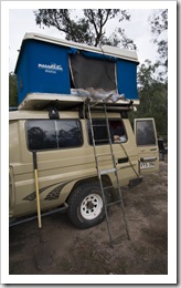
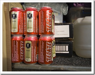
Lisa standing at the top of Raymond FallsThe Tank cruising Yalmy Road to Raymond Creek FallsLisa emerging from The Blue Room at Raymond FallsWe toyed with the idea of spending the night at Cape Conran Coastal Park but the clouds started to cover the blue sky and wind picked up so we headed inland toward Snowy River National Park.  The majority of Snowy River National Park is inaccessible but for a few 4WD tracks and a single dirt road that skirts the eastern and northern edges of the park.  The map The Tank well stocked with Tecatewe had wasn’t the best so we spent a couple of hours searching along Yalmy Road on the east side of the park for Raymond Creek Falls, eventually finding them and the adjacent campsite after a long day of driving.  The campsite was a fantastic secluded location amongst towering gums, we were the only people there for the night and enjoyed a walk down to the falls before settling in for the night next to a great campfire.  We were quite fortunate to come across a lyrebird on the short walk to the falls, the female specimen we encountered wasn’t too worried about our presence and went about her business, giving us a great view of her as she scooted about the forest floor.  Raymond Creek Falls was quite a sight, even though there was no water flowing when we visited.  The massive plunge pool at the base of the falls gave us an indication of just how much water must flow over the falls during the winter rains, a serious torrent!  The pools at the top of the falls seem to be a popular hangout for Eastern Water Dragons, we surprised a couple of them as we hopped about the rocks, one of them ran a few meters on the surface of one of the pools before escaping beneath the surface, awesome to see such big lizards run across the water.
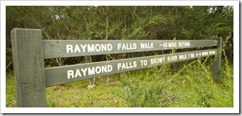
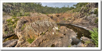
The short walk to Raymond Falls from our campsiteThe red rocks at the top of Raymond FallsOur campsite at Raymond Falls 

The hot evening played havoc with the track into Raymond FallsLush forests along the edge of Snowy River Naitonal ParkEver since watching The Man From Snowy River as a kid I’ve wanted to see the mighty Snowy in the flesh (for you northerners, the Man from Snowy River is kind of like your Paul Bunyan, put the movie on your Netflix queue if you haven’t seen it).  After we’d driven almost an hour along the dirt road skirting the eastern side of the National Park we came across a road block: the road was closed for construction.  After some sweet talking on my part and the fact that everyone in the road work crew also drove Toyota Troop Carriers, the graders and bulldozers parted for us and we were able to continue on to McKillops Bridge (lucky because driving around would have meant an extra couple of hours of driving on back country dirt roads!).  The road crew was sure to let us know that they were only letting us through as a favour and not to tell any of our mates!
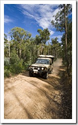
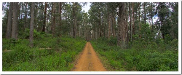
The Tank on Yalmy RoadYalmy Road along the edge of Snowy River National ParkYalmy Road along the edge of Snowy River National Park

Little River GorgeThe Tank climbing to Little River GorgeMcKillops Bridge is a historical monument at the northern edge of Snowy River National Park, where Snowy River National Park ends and Alpine National Park begins.  McKillops bridge was originally constructed in the 1930s A wet lunch stop at McKillops Bridgeand just days before its official opening in 1934 was destroyed by flood waters!  The bridge that extends over the mighty Snowy River today is the second attempt at the bridge, a wooden contraption that made both of us a little nervous driving over.  A huge amount of water was The Tank crossing McKillops Bridgeflowing when we crossed, even at the end of summer, no wonder the Snowy is part of Australia’s biggest (I believe…) hydroelectric power scheme.  At McKillops Bridge the rain that was to plague us for the next few days really set in.  We extracted The Tank’s awning for lunch, one of the few times we’ve had to do so, and made sandwiches in the shelter away from the rain.  On our way west we stopped off at Little Rover Gorge, Victoria’s deepest gorge, on the eastern border of the National Park.  Quite an impressive gouge in the earth, multiple waterfalls were visible in the distance from the gorge’s lookout, it would have been nice to take the hike down a portion of the gorge to Little River Falls if not for the rain…
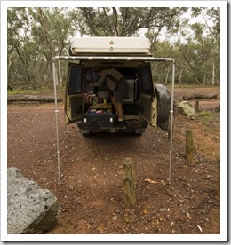
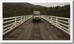
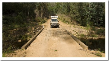
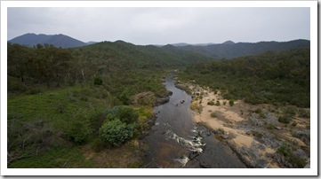
The Tank crossing the Yalmy RiverThe mighty Snowy River passing under McKillops BridgeThe Snowy River winding through the alpsLittle River Gorge 

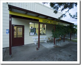
Sunrise in OmeoThe Albion Hotel in Swifts CreekAnother slight map mix-up led us to believe that the technical 4WD track cutting through from Snowy River to Omeo was a dirt road.  The fact that it was raining heavily and given our previous experience with 4WD tracks in the Victorian High Country, we weren’t too keen on tackling the traverse by ourselves so spent a couple of hours driving down the mountains all the way to High Plains Bakery in Swifts CreekBruthen and then a portion of the way back up the Great Alpine Highway to Swifts Creek (S37°15.629’ E147°43.361’).  Swifts Creek is a tiny farming settlement a short drive down the mountains from Omeo, we spent the evening at the Albion Hotel with the locals enjoying a few Looking toward Falls Creek from the trail to Mount LochHigh Plains Bakery in Swifts Creekbrews and avoiding the rain.  A short walk from the town centre we found a great spot beside a creek to setup for the night, rare Gang Gang Cockatoos noisily ate in the Eucalypts above The Blue Room into the evening and acted as our alarm clock again in the morning.
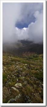
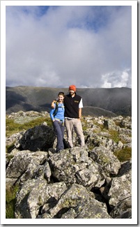
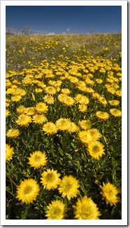
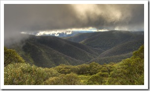
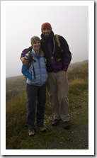
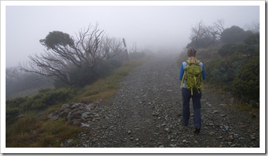
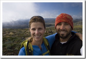
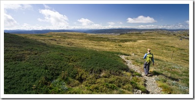
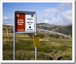
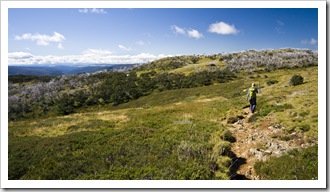
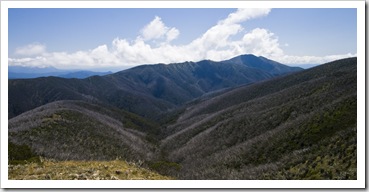
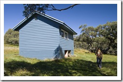
Lisa and Sam at Mount LochHigh country wildflowersFrom Swifts Creek we continued up into the mountains, through the quaint historic town of Omeo where we caught a brilliant sunrise over the main street before heading toward Mount Hotham and Dinner Plain.  The Tank wasn’t too keen on climbing through 3000 and then 4000 feet on the way up the mountains, the thin air causing her to chug a little black smoke out the rear, even requiring us to climb up some of the steeper highway inclines in second gear.  It was a beautiful drive, the high mountain pastoral country eventually giving way to Alpine National Park, the clouds and rain finally subsided and we were rewarded with some brilliant views of the Victorian Alps stretching into the distance.  I basically learned to ski at Mount Hotham (S36°58.500’ E147°08.291’), Derrick Hutspending at least a week there during most winters ever since I was 13 or so.  I also took Lisa skiing there for a week when we were both 21 when she was studying at the University of Adelaide.  For all the times I’ve been to Mount Hotham I’d never visited during summer so it was interesting to see the ski Lisa at Mount Loch summitresort devoid of people and snow.  Mount Hotham is a launching point for the popular Razorback Ridge walk to sky-reaching Mount Feathertop, and while we didn’t arrive early enough in the day to attempt the 20+ kilometer hike we did enjoy some fantastic hiking through Alpine National Park.  As with our Crater Lake hike in Tasmania recently, when we set off toward Mount Loch we were rugged up in beanies and Gore-Tex jackets, hiking through the dense fog with no idea of our surrounds.  When we reached Mount Loch the clouds parted for striking views of Razorback Ridge and Mount Feathertop in the distance, later clearing even more for a view of Victoria’s highest peak – Mount Bogong – in the distance.  From Mount Loch we continued on to one of the many alpine huts dotted through the area, finishing up the afternoon with all our cold weather gear on our backs and pants rolled up in the heat! 
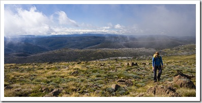
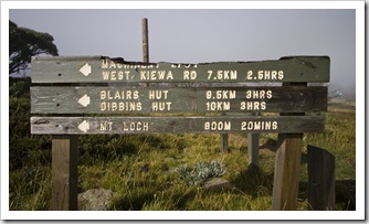
OmeoSunrise in OmeoView of the Victorian Alps from the road to Mount Hotham Rugged up for a day of hiking around Mount HothamHiking to Mount LochHiking to Mount Loch through the Mount Hotham ski areaHigh country crawlers A wet morning on the way to Mount LochOn the way to Mount LochMount Loch summit Panoramic of the Razorback Trail with Mount Feathertop in the clouds to the right Lisa and Sam at Mount Loch summitLisa on her way to Derrick HutSigns on the way to Derrick Hut with Mount Hotham village in the distance Lisa on her way to Derrick HutRations inside Derrick HutHigh country wildflowersMount Feathertop and the Razorback Trail The trail to Dibbins HutThe trail to Dibbins HutThe Razorback Trail with Mount Bogong in the clouds in the distance

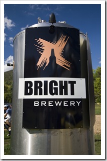
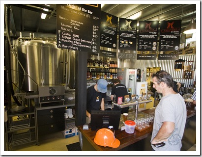
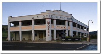
High country pastures near HarrietvilleBrightWith some sore feet and Lisa a bit of sunburn around her neck from the mountain sun we chugged down the northern side of the Great Dividing Range into Harrietville.  Some absolutely beautiful properties around Harrietville, green pastures and bubbling creeks everywhere, such a quaint little spot nestled between the alps.  We finished our day in Bright (S36°43.725’ E146°57.869’), the gateway to the ski resorts of Mount Hotham and Falls Creek, making sure to stop off at the Bright Brewery to sample their fare.
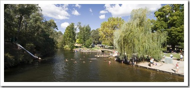
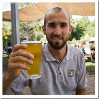
BrightBrightBright The Bright Brewery: hard to pass up a mountain brewhouseThe Bright Brewery: hard to pass up a mountain brewhouseSam at the Bright Brewery 

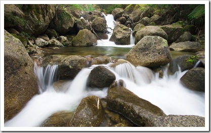
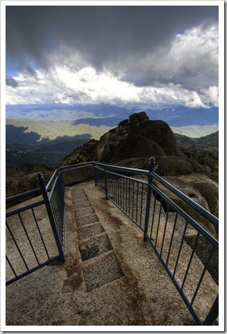
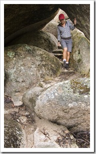
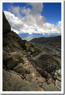
Eurobin CreekThe trail through the granite to The HornThe final stop on our tour of the Victorian Alps was Mount Buffalo National Park.  Mount Buffalo is one of the original Victorian ski resorts, although I’m not sure it still operates these days – even though the chairlifts are still in place – with the much larger and higher Hotham and Falls Creek resorts only a stone’s throw away.  We actually went to Buffalo twice: on Sunday morning when we ventured in, the rain kept us in the car the whole time so we were unable to explore some of the myriad of hiking trails the National Park has to Lisa holding up one of the boulders near the Old Galleries Walkoffer.  We returned on Monday between the downpours to explore Eurobin Falls, Rollasons Falls as well as the amazing rock formations of the Buffalo plateau along a walk through the Old Galleries.  With the amount of rain the high country had received in days prior, the creeks and falls were absolutely charging with water.  So much that I couldn’t get a photo of Eurobin Falls without water from the torrent covering the lens!  We drove all the way to the top of Mount Buffalo, the peak is called The Horn and at 1723 meters (5652 feet) above sea level provides unparalleled 360° views of the surrounding mountains and plains.  Glad we returned between the rains, Mount Buffalo is an awesome spot, one could spend days exploring all the hiking trails the place has to offer…
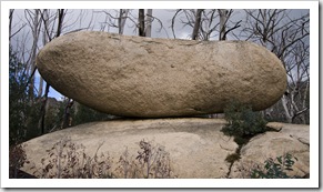
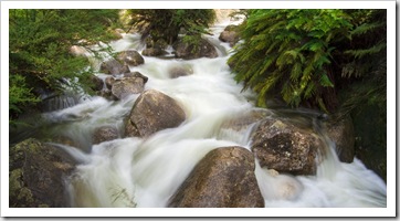
270 degree view from The Horn of the Mount Buffalo plateau Eurobin CreekEurobin CreekLisa hiking to Rollasons Falls Upper Rollasons FallsBuffalo Creek below Rollasons FallsOn the Mount Buffalo plateau by the Old Galleries Walk Lower Rollasons FallsThe Old Galleries WalkThe Old Galleries WalkThe Old Galleries WalkThe trail through the granite to The Horn  Panoramic from The Horn car park

Share

Lakes Entrance

Australia, Victoria 1 Comment »
Planet View: S37°52.641’ E147°59.627’
Street View: S37°52.641’ E147°59.627’

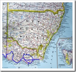
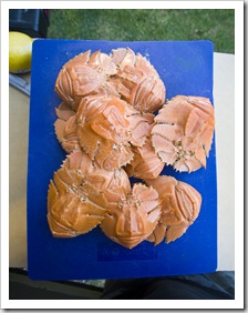
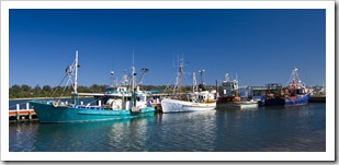
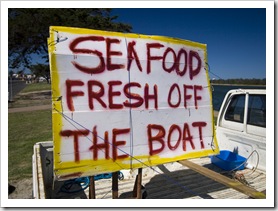
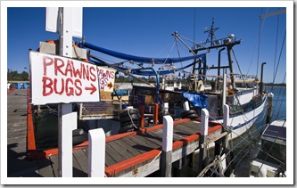
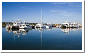
New South Wales and Victoria Fresh bugs for dinnerFishing boats in the harbour at Lakes EntranceFrom our spot on the side of the river at Toora we continued east, through more of South Gippsland’s extensive dairy country to the vacation hotspot of Lakes Entrance.  Lakes Entrance is a small tourist-centric town on the coast, set amongst a myriad of brackish lakes that stretch almost 150 kilometers (90 miles or so) west to the small seaside settlement of Seaspray.  It was time for some clothes washing, it’d been a few weeks since William Frost’s house in Hobart, so we checked into the Silver Sands Tourist Park in central Lakes Entrance for access to some washing machines.  During our walk along the esplanade we came across a couple of commercial fishing boats selling their catch, we bought a kilogram of bugs (they’re the same as Moreton Bay Bugs but I don’t know what they’re called if they’re not from Moreton Bay!) for an entree, such succulent flesh…  I think I maybe even prefer bugs to crayfish!
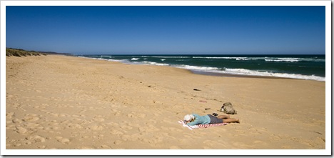
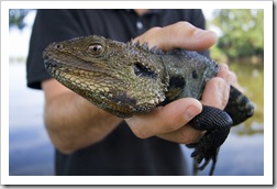
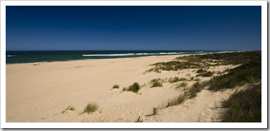
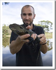
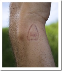
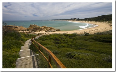
Lisa enjoying some quiet time at East BeachAfter our chores were done and we’d spent a bit of time on Lakes Entrance’s East Beach we packed up again to check out some of the coastline further east toward Croajingalong National Park.  We didn’t actually make it as far as Croajingalong, instead Sam and an Eastern Water Dragon on the banks of the Snowy Rivercruising along the edge of the Snowy River from Orbost to Marlo and eventually into Cape Conran Coastal Park.  The beaches around Cape Conran were magic, endless stretches of superb white sand with turquoise water that reminded us of southwestern Western Australia.  I threw a line in hoping to catch some salmon but only a few little tackers and no fish dinner for Lisa, unfortunately.

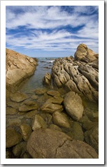
The main beach at Lakes EntranceThe fish and chip shop on the beach at Lakes EntranceCrammed in between the caravans at Lakes Entrance Fresh seafood off the boatFresh seafood off the boatMirror-like water in the morning at Lakes Entrance Sam and an Eastern Water Dragon on the banks of the Snowy RiverSam's bite from an Eastern Water Dragon on the banks of the Snowy RiverSalmon Rocks by Cape ConranSalmon Rocks by Cape Conran The might Snowy River as it makes its way out to sea

Share

South Gippsland And Wilsons Promontory

Australia, Victoria 2 Comments »
Planet View: S39°01.778’ E146°19.037’
Street View: S39°01.778’ E146°19.037’

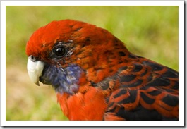
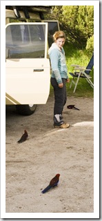
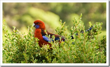
Friendly Crimson Rosellas at our campsite at Tidal RiverJust the two of us once again, when we were leaving Melbourne a couple of days ago we realized it’s been since the beginning of December since we haven’t had company on the road.  First we had Chris and Gina travel through southern South Australia, the Great Ocean Road, Otway Ranges and the Victorian High Country with us.  Then a week or so in Melbourne with Ben and Bronte Kennare.  And for the past five weeks Lisa’s parents have been with us.  A strange feeling being solo again after so long, but a lot to explore until we meet Abi and Will in Thredbo in a couple of weeks…

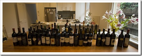
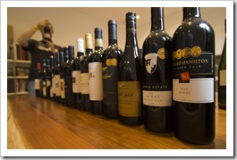
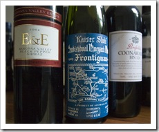
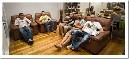
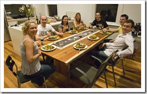
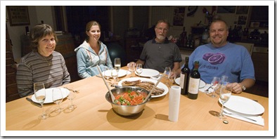
The wine waiting for us from Sam's dad when we arrived in Melbourne!After arriving back in Melbourne last Friday on the Spirit of Tasmania Jarrod and Stacey McCabe welcomed us into their quaint Clifton Hill home for the weekend.  My dad had arranged for us to pick up The wine waiting for us from Sam's dad when we arrived in Melbourne!some wine in Deer Park, so on Saturday morning Jarrod taxied us out to Deer Park to make the collection.  We thought we were getting a case, his usual delivery to us at certain points along the trip, but waiting for us were no less than seven six-packs of the best of Dad’s cellar!  We won’t be buying wine for a while…  There’s only so much room in The Tank, so to help us out with fitting everything in we invited Greg Halls, Ben and Bronte Kennare, and one of Ben’s best mates Tom over to Jarrod and Stacey’s on Saturday night to sample a few bottles of our new-found wine collection.  The standout: a bottle of 1994 E&E Black Pepper Shiraz.  One to note: a 1969 bottle of Kaiser Stuhl Spaetlese Bin B22, amazing to taste a white wine with so much character after more than 40 years being cooped up.  It was a great night had by all, it’s always the way with good friends, you pick up right where you left off…

A few of the standouts from the 42 bottles of wineBen, Tom, Jarrod, Sam and Greg in MelbourneDinner at Jarrod and Stacey's in Melbourne

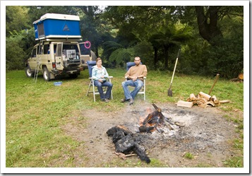
Lisa surrounded by friendly Crimson Rosellas at our campsite at Tidal RiverLisa and Sam camping near Mount Worth State ParkFriendly Crimson Rosellas at our campsite at Tidal RiverAt my mum’s suggestion we toured the Strzelecki Ranges via Grand Ridge Road on our way south to Wilson Promontory.  It was a fantastic drive, through the rolling hills of the surrounding pastoral country and pockets of untouched temperate rainforest around Mount Worth.  We found a spot beside a creek near Mount Worth State Park (S38°19.017’ E146°00.573’), where we enjoyed a roaring fire and caught up on some rest after a couple of big nights in Melbourne over the previous weekend.  The Tank was due for a bit of TLC and we happened upon possibly the nicest A Hairy-Nosed Wombat on our hike to Pillar Pointmechanics on the planet at Leongatha’s South Gippsland Cars and Off-Road, who took care of an oil change, tightening the front drag links as well as some new rear suspension bushings. 

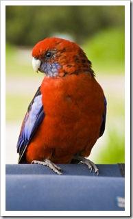
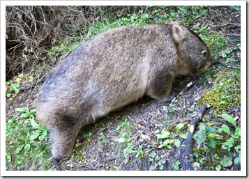
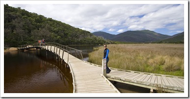
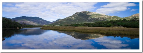
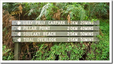
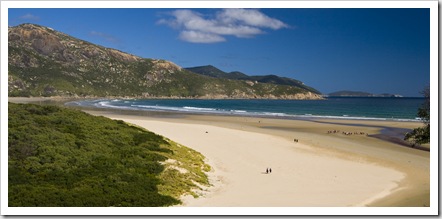
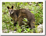
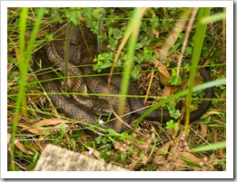
Lisa crossing Tidal RiverWilsons Promontory is a spit of land stretching roughly 40 kilometers out into the ocean just south of the small settlement of Yanakie.  A National Park as well as a Marine National Park, the area is home to some striking mountains, pristine beaches and no shortage of wildlife.  The unique landscape of the promontory made it Todal River and Mount Oberonan ideal training ground for the military before Our campsite at Tidal Riverit was a National Park, the most elite Australian commandos (today called the SAS) had the entire promontory as their training ground during WWII, where they trained to combat Japanese in the Asian countries just north of Australia.  We stayed at Wilsons Promontory’s only road-accessible campsite at Tidal River (S39°01.778’ E146°19.037’), a behemoth of a camping area next to beautiful Normans Beach.  While the campground is huge (in excess of 400 sites), the Victorian government has done a fantastic job with the place: walking distance to the beach, hot showers, running water and a bunch of great walks in the area.  We explored Pillar Point on our first afternoon in Tidal River, where after a couple of kilometers of walking we were rewarded with brilliant views of Normans Bay and adjacent Squeaky Beach to the north.  We sure weren’t left wanting for wildlife when in the National Park: the Crimson Rosellas and Hairy-Nosed Wombat pictured above were quite happy with our presence and let us get close enough for some great photos.  We also ran into an extremely venomous Tiger Snake (pictured down lower) and wallaby on the hike to Sealers Cove.  For those northerners reading this, wombats are amazingly stocky little things.  The one pictured above would probably be around 30 inches long and weigh roughly 70 pounds.

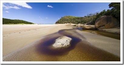
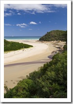
Normans Beach and Tidal River Tidal River and Normans Beach in the distanceOn our afternoon walk to Pillar PointThe view of Tidal River and Normans Beach on the Pillar Point walk Lisa strutting her stuff on the way to Pillar PointSqueaky Beach from Pillar PointLisa at Pillar Point with some of the Wilsons Promontory islands in the distance Normans Beach from Pillar Point  The view of Tidal River and Normans Beach on the Pillar Point walkFriendly Crimson Rosellas at our campsite at Tidal RiverFriendly Crimson Rosellas at our campsite at Tidal River 

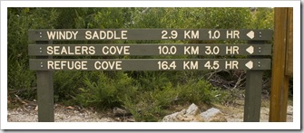
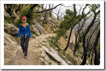
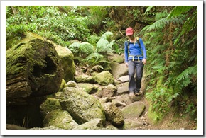
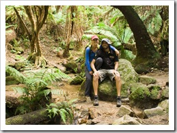
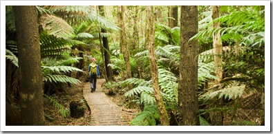
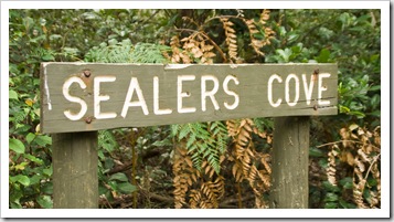
Amazing mushrooms on our way to Sealers CoveA friendly wallaby on the way to Sealers CoveThe trail to Sealers CoveLisa on her way to Sealers CoveWilson Promontory is known for its array of challenging hiking trails.  We chose a 20 kilometer (12.4 mile) round-trip hike to Sealers Cove for our punishment during our full day in the National Park.  Well, I say 20 kilometer trek but at the outset we thought it was only 10 kilometers, not realizing that the 10 kilometer distance designation was the one way length of the walk!  It was a long but not overly strenuous hike through charred Eucalypt forests (from a big bushfire a few years ago), fern-filled temperate rainforests, and boggy marshes before reaching the beautiful beach of Sealers Cove.  I took a quick swim in the crystal clear water before we trudged back to Tidal River for a much needed hot shower.

Sam hiking to Sealers CoveHiking to Sealers CoveLisa on her way to Sealers Cove through some charred Eucalypt forestA friendly wallaby on the way to Sealers Cove Hiking to Sealers CoveHiking to Sealers CoveThrough the swampy marshes near Sealers Cove Sealers Cove to ourselves Sealers CoveThe supremely venomous Tiger Snake near Sealers CoveOn the way back to Telegraph Saddle from Sealers Cove

Camping by the Franklin River near TooraTonight we’re camped alongside the Franklin River just outside of the small farming town of Toora.  Toora’s a great little town, a bakery and pub as well as a post office make up the main establishments in the town’s centre.  And what a good value pub it is!  Not many places you can get a $12 chicken parmigiania these days and walk away almost in a food coma.  In fact, I might just move to South Gippsland one of these days: I was looking at the real estate agent’s window today in Foster and found a nice little parcel of 100 acres of land with a mix of cattle paddocks, temperate rainforests, an on-property creek as well as a few hiking trails for $300K.  $300K for a piece of paradise and $3.25 beers at the pub, how can you go wrong?  In Marin County $300K might buy you a bathroom and $3.25 at the pub a diet coke!

Central FosterThe pub in Toora: chicken parmigianas to die for!

Share

Gallery: Tasmania

Australia, Galleries, Tasmania 1 Comment »
  • The Southern Forests
Tasmania

Photos from King Island, Devonport, Cradle Mountain, Hellyer Gorge, Burnie, Stanley, the Arthur Pieman Conservation Area, Strahan, Queenstown, Franklin-Gordon Wild Rivers National Park, Lake Saint Clair, Lagoon of Islands, Ross, Freycinet National Park, Coles Bay, Saint Helens, Bay of Fires, Launceston, the Tamar Valley, Griffin Park, Evercreech Forest, Pyengana, Mount Victoria Forest Reserve, Tasman National Park, Port Arthur, Mount Field National Park, Hobart, Richmond and Bruny Island during January and February, 2010.

Share

Bruny Island

Australia, Tasmania 2 Comments »
Planet View: S43°17.495’ E147°19.716’
Street View: S43°17.495’ E147°19.716’

Bruny Island

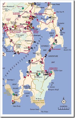
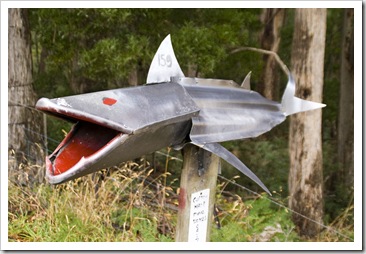
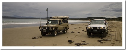
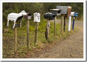
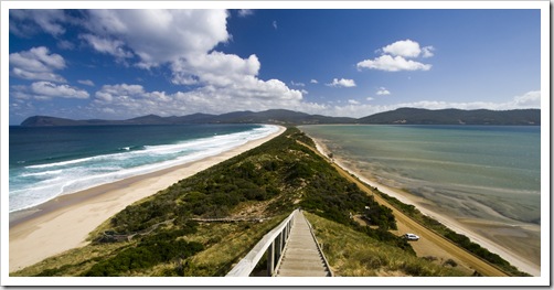
Wildflowers on the hike toward Tasman Head from Cloudy BayBruny IslandWe finished up our tour of Tasmania with a few days on Bruny Island, just south of Hobart.  To access Bruny a ferry departs the small harbour town of Kettering every hour or so for the 25-minute ride across the D’Entrecasteaux Channel to North Bruny Island.  Bruny is split into two portions – north and south – separated by a thin stretch of soil known as The Neck.  Similar to Carol and Greg at our Cloudy Bay campsiteTasman National Park, Bruny National Park is one of Tasmania’s newer National Parks and covers most of the coastal area of South Bruny Island.  After disembarking the ferry we took some time to explore Adventure Bay, the main settlement on the island, where I threw in a line for a few mullet and some Australian Herring while Lisa took a jog along the beautiful white sand of the bay’s beach.  The bloke next to whom Carol was sitting at the Twenty20 in Hobart recommended we stay at Cloudy Bay at the very southern end of the island, Eclectic mail boxes on the road between Cloudy Bay and Adventure BayThe Tank and her friend on the beach at Cloudy Bayso we ventured down through the towering Eucalypt forests to Cloudy Bay during our first afternoon.  The Cloudy Bay campsite (S43°27.859’ E147°15.215’) is accessed by traversing a few kilometers of beach, after which it’s a short but steep jump-up into the beautiful campground.  We shared the spot with another family or two, the large area in the Eucalypt forest was a beautiful spot with a fabulous beach a short walk through the scrub and a couple of lauded hiking trails beginning next to the campground.  I even ran into a few Echidnas whilst searching for firewood.  We unfortunately weathered quite a fierce storm, with hail and some crazy winds, during our night at Cloudy Bay so didn’t really get to appreciate the area as much as we could have in nice weather, but it’s definitely a spot not to miss. 

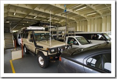
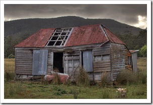
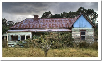
The Tank on the ferry to Bruny IslandAdventure BayThe Tank and her friend readying to cross the beach at Cloudy Bay View from our campsite at Cloudy Bay  The hike toward Tasman Head from Cloudy BayCarol and Greg at our Cloudy Bay campsiteBalls on fireThongs drying after a wet afternoon at Cloudy Bay Lisa enjoying a glass of white at Cloudy BayA fishing boat seeking refuge in Cloudy BayThe Tank on the beach at Cloudy Bay after the storm The Tank on the beach at Cloudy Bay after the stormGreg and Carol on the beach at Cloudy BayGreg and Carol on the beach at Cloudy Bay Delapidated houses on South Bruny IslandEclectic mail boxes on the road between Cloudy Bay and Adventure BayDelapidated houses on South Bruny Island 

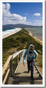
Lisa clambering up the stairs to the lokout on The NeckA curious echidna near Fluted CapeThe Neck looking toward South Bruny IslandFor Lisa’s birthday present my grandmother shouted Lisa (and me) to a trip on a Bruny Island Cruises tour of South Bruny Island.  We were due to take the tour on our second day on the island, but in the face of the horrendous storm the night before the skipper of the cruise company detailed that the cruise would likely only cover a small portion of its regular route and those with flexibility should return the next day.  Flexibility, that’s us!  So I went and found a campsite on The Neck while Carol, Greg and Lisa explored some of the Fluted Cape hiking trail to the top of the striking dolerite cliffs that stretch along South Bruny’s east coast.

Greg on the Fluted Cape hikeThe Fluted Cape hikeView of Penguin Island on the Fluted Cape hikeBruny Island Cheese CompanyLisa drawing at our campsite on The Neck Panormaic of The Neck looking east  

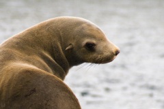
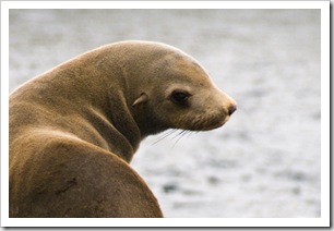
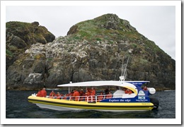
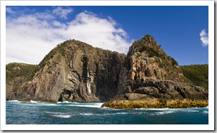
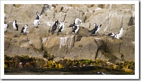
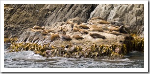
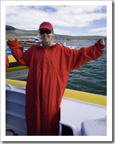
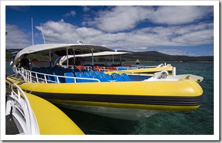
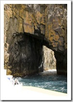
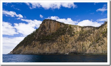
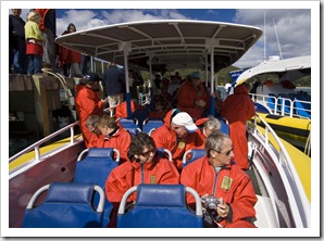
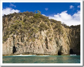
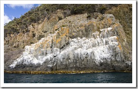
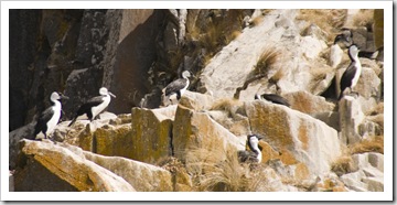
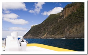
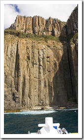
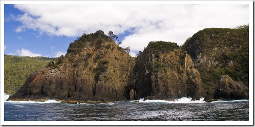
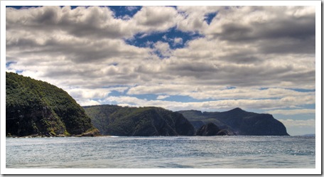
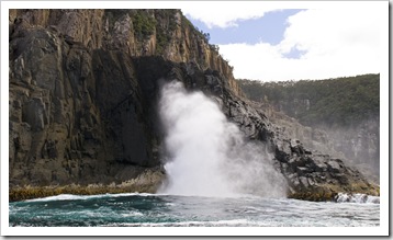
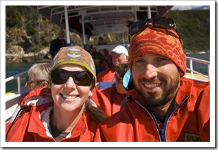
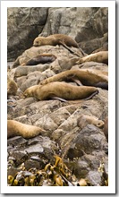
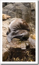
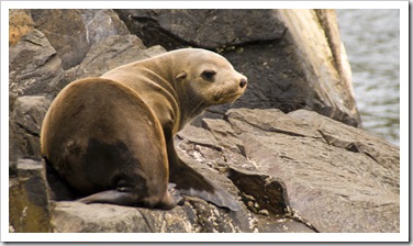
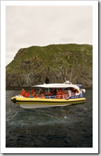
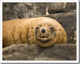
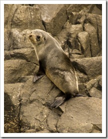
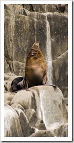
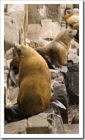
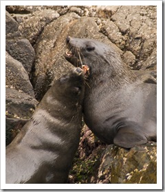
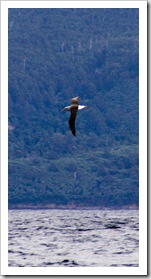
The Monument and cliffs of South Bruny IslandAustralian Fur Seals near Tasman HeadOne of the Bruny Island Cruises boats amongst rocks known as The FriarsWe were very thankful for the honesty of the Bruny Island Cruises owner when we woke for our third day on the island: no wind and glassy seas.  Now if you think of a honking steamship with a casino and bars when you hear the word ‘cruise’ that’s not how Bruny Island Cruises operates.  Forty-nine passengers are loaded in a military-inspired, aluminium-hulled speedboat, which has almost 800 horsepower of South Bruny Islandpropellers jetting it through the water.  Passengers in the front half of the boat are required to be strapped down (tight) to their seats while the boat’s in motion and everyone’s provided with waterproof slickers for the hair-raising ride.  Lisa and I managed to secure the two seats at the very front of the boat, and while this did mean we felt the worst of the bumps and rolls of the ocean we were afforded the best views throughout the tour.  The three-hour trip took in no shortage of the striking dolerite cliffs Black-Faced Cormorantsof South Bruny’s eastern shores, beautiful rock formations and some extremely powerful blowholes.  The wildlife was brilliant, with a range of seabirds including albatross and petrels up from Antarctica for summer as well as a colony of Australian Fur Seals Australian Fur Seals near Tasman Headamongst The Friars at the very southern tip of Bruny Island.   The crew on our boat were fantastic, they were a wealth of knowledge on the surrounding environment and always made sure every one of their passengers was enjoying the trip (the Tim Tams they fed us sure kept us all Happy!).  Everyone had some serious adrenaline pumping as the boats are piloted through gaps in the cliffs and into caves, one gap we shot through at full speed would have only been a metre-or-so wider then the boat!  It was awesome, just awesome!  Lisa said it was better than any theme park ride she’d ever been on.  If you find yourself in Tasmania, make a point of trying to get on a tour with Bruny Island Cruises.

Lisa suited up for our trip with Bruny Island CruisesBruny Island CruisesSam suited up for our trip with Bruny Island CruisesOne of the many caves along the east coast of South Bruny Island The cliffs along Fluted Cape Bruny Island CruisesCaves along Fluted Cape A huge cormorant nesting area on the cliffs near Fluted CapeBlack-Faced CormorantsSouth Bruny Island from the boat The cliffs of South Bruny IslandThe Monument and cliffs of South Bruny IslandShooting the gap between The Monument and cliffsThe cliffs of South Bruny IslandSouth Bruny Island South Bruny IslandSouth Bruny Island An amazingly powerful blowhole on South Bruny IslandSam and Lisa on Bruny Island CruisesAustralian Fur Seals near Tasman HeadAustralian Fur Seals near Tasman Head Australian Fur Seals near Tasman HeadAustralian Fur Seals near Tasman HeadOne of the Bruny Island Cruises boats amongst rocks known as The FriarsAustralian Fur Seals near Tasman Head Australian Fur Seals near Tasman HeadAustralian Fur Seals near Tasman HeadAustralian Fur Seals near Tasman HeadAustralian Fur Seals near Tasman HeadA lone Albatross cruising near Mangana Bluff

Share

Hobart

Australia, Tasmania 3 Comments »
Planet View: S42°46.459’ E147°16.570’
Street View: S42°46.459’ E147°16.570’

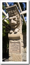
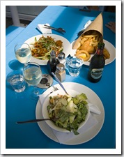
Saint David's ParkWilliam and BlueLunch at Fish FrenzyWilliam Frost and his Staffordshire Terrier, Blue, welcomed the four of us into their fantastic house in Old Beach for our time in Hobart.  William grew up in Burnie in Tasmania’s north and is a friend of mine from when we were both youngsters, he now lives in Hobart and runs a gourmet food and wine website called Field Blend.  On Friday afternoon while I caught up on the plethora of photos we’d taken over the pervious couple of weeks, Lisa, Carol and Greg spent the afternoon exploring the Hobart waterfront and city centre.  At William’s suggestion they lunched at Fish Frenzy on the Elizabeth Street Pier, as well as taking in some of the beautiful boats moored in Sullivans Cove.  William has a background in hospitality and guided us to the best of Hobart cuisine whilst we were in Tasmania’s capital: our Friday night BBQ at William’s comprised some fabulous wines as well as a selection of brilliant sausages from a gourmet butcher in Hobart called Wursthaus

Boats moored in Sullivans CoveBoats moored in Sullivans Cove HobartSaint David's Park  Dinner at William Frost'sSampling some of Australia's best at William Frost'sWilliam's house in Old Beach

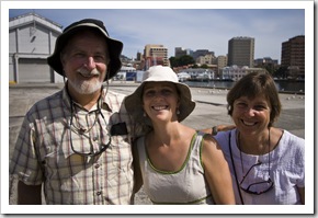
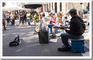
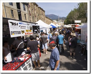
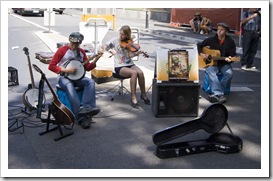
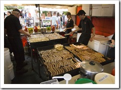
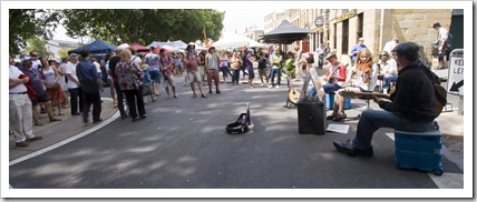
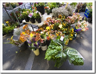
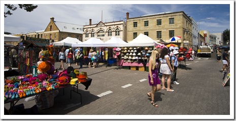
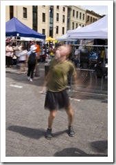
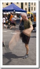
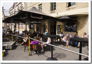
Greg, Lisa and Carol on the Hobart waterfrontStreet performers at Salamanca MarketsIt was Lisa’s birthday on Saturday so before taking her out for a brilliant Italian dinner at Ciuccio we spent the morning and early afternoon at one of Hobart’s absolute must-dos: Salamanca Markets.  Salamanca Markets are the southern hemisphere’s largest open-air street markets, a fantastic place to find anything and everything Tasmanian as well as a dizzying array of great food.  There was also a brilliant assortment of street performers, from hacky-sack buskers raising money to get to the world championships to the fantastic Celtic trio of two brothers and sister pictured to the right.  A bit of an eye-opener at the markets was the Moon Pad stall: an elderly woman who makes and sells recyclable feminine hygiene products (below left)!

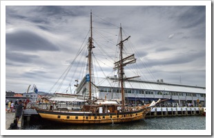
The Moon Pad lady and her stall at Salamanca MarketsSalamanca MarketsSalamanca MarketsSalamanca Markets Hobart and Sullivans Cove Salamanca MarketsStreet performers at Salamanca MarketsSalamanca MarketsStreet performers at Salamanca Markets Street performers at Salamanca MarketsSalamanca MarketsStreet performers at Salamanca Markets Salamanca MarketsSalamanca MarketsSalamanca Markets Salamanca MarketsEnjoying a beer next to the Salamanca MarketsSalamanca MarketsLisa enjoying a Persian yiros at the Salamanca Markets HobartSalamanca MarketsA sailing ship moored in Sullivans Cove

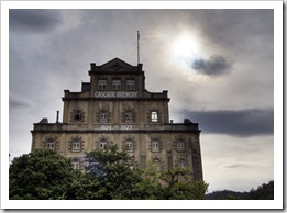
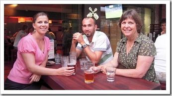
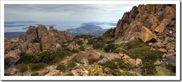
Cascade BreweryLisa, Sam and Carol at the James Squire pub in HobartBetween the markets and dinner we had time for a scenic drive up to the peak of towering Mount Wellington, the striking monolith that overlooks the city of Hobart.  It was a beautifully clear day and we were rewarded with brilliant views from the lookout, from Old Beach all the way south to Bruny Island.  We also stopped off for a beer (or two) at the Cascade Brewery just west of Hobart’s city centre.  Our dinner at Ciuccio was divine and another reminder of just how small a world it is: our waitress and waiter for the evening were a French couple whom we camped next to in the Tarangau Caravan Park in Broome way back in August, 2009!

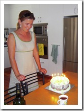
Panoramic view of Hobart from Mount Wellington View of Bruny Island from Mount WellingtonCascade BreweryCascade Brewery Cascade BreweryGreg and Lisa enjoying a beer at Cascade BreweryLisa and her icecream cakeLisa and Sam walking to dinner for Lisa's birthday 

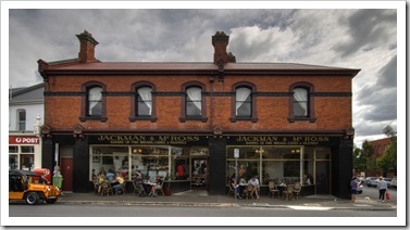
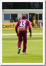
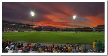
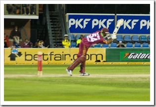
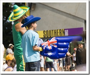
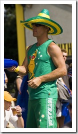
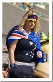
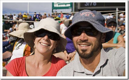
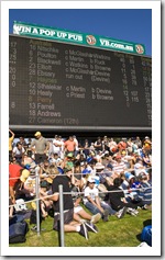
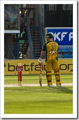
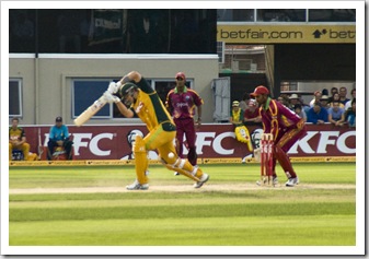
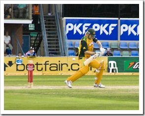
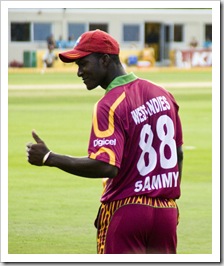
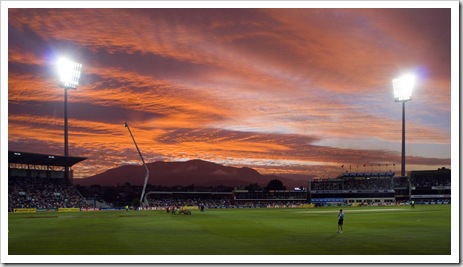
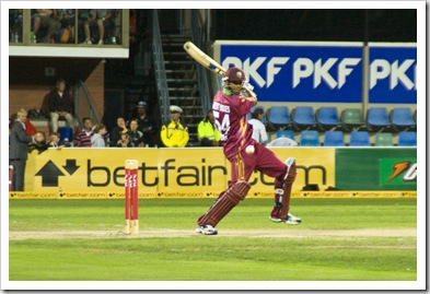
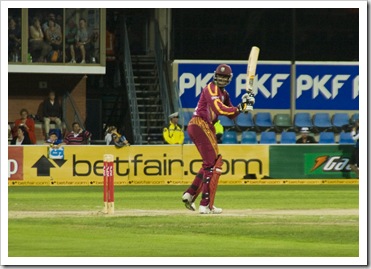
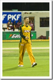
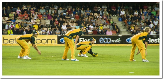
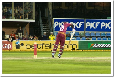
Jackman and McRoss BakerySpectators at the Twenty20 cricket at Bellerive OvalOn Sunday we had tickets to the Twenty20 cricket at Bellerive Oval, but before the game we decided to breakfast at Hobart’s lauded Jackman and McRoss bakery in historic Battery Point.  Recommended by both William and my mum (thanks Mum), the offerings were very unique but oh so tasty!  Lisa and I shared a ‘spiced goat and lentil pie’ and ‘lamb shank and rosemary pie’ between us, both put Jackman and McRoss firmly on my The big man himself: Chris Gaylelist of Australia’s Best Bakeries (so much so that we had breakfast at Jackman again the Spectacular sunset at the Twenty20 cricketnext morning on our way to Bruny Island!).  Our tickets to the cricket indicated a start time of 1:00PM, but upon arriving at Bellerive we realized that the women’s cricket was due to start at 2:15PM with the men’s Australia versus West Indies game not starting until 6:15PM!  Not to worry, it gave us time to explore the nearby historic town of Richmond as well as picturesque Seven Mile Beach before returning to catch the bulk of the women’s game and secure a spot on The Hill for the men’s game.  For those of you without some form of Commonwealth upbringing, The Hill at a cricket ground is a general admission area to which the Australian Cricket Association usually sells enough tickets to make any health and safety inspector shudder.  By the time the The West Indies batting lineupAustralia versus West Indies game started The Spectators at the Twenty20 cricket at Bellerive OvalHill at Bellerive was absolutely jam packed, we luckily secured ourselves a patch of grass on which to lay our blanket in the seating area, but plenty of latecomers were left to stand amongst the drunken mobs at the rear of The Hill.  The men’s game started with some of the most entertaining batting I’ve ever seen, Warner and Watson tag-teaming for six after six (a six in cricket is like a home run in baseball) and sending the crowd into a frenzy.  The West Indies didn’t even come close to matching the Australians’ score, but The Hill crowd kept things interesting with everything from beach balls bouncing through the crowd to stadium-wide Mexican waves.  The sunset over the stadium was one of the most electric I’ve ever seen, striking red skies with a beautiful view of Mount Wellington in the distance.  An awesome day and what a way for Greg and Carol to be baptized into the world of cricket!

Jackman and McRoss BakeryJackman and McRoss BakeryJackman and McRoss Bakery The historic town of RichmondThe historic town of RichmondThe historic town of RichmondThe historic town of Richmond Women's cricket at Bellerive Oval Spectators at the Twenty20 cricket at Bellerive OvalSpectators at the Twenty20 cricket at Bellerive OvalSpectators at the Twenty20 cricket at Bellerive OvalSam and Lisa at the Twenty20 cricket at Bellerive Oval An amazing sunset at the Twenty20 cricket at Bellerive Oval Twenty20 cricket at Bellerive OvalDavid WarnerShane WatsonShane Watson Sammy working the crowdAn excitable young spectator at the Twenty20Spectacular sunset at the Twenty20 cricket The West Indies batting lineupThe West Indies batting lineupAustralian Twenty20 captain Michael Clarke Australians in the slipsThe West Indies batting lineup

Share

Australian 4WD Action

Australia, Magazines, Northern Territory 1 Comment »

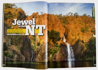
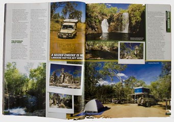
Australian 4WD Action Australian 4WD Action Australian 4WD Action

We noticed another one of our articles on the shelves yesterday morning, this one in Australian 4WD Action issue 145.  I hadn’t seen the photos above of Edith Falls in the flesh, looks great all blown up in hard copy.  A couple of cameos from my cousins Margot and Sophie in this article, they met us in Litchfield National Park (the subject of the article) for a night of camping way back in July.

Share

Mount Field National Park

Australia, Tasmania Comments Off on Mount Field National Park

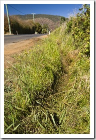
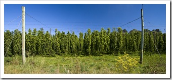
Tasmania The boggy ditch that almost had The Tank on its side I wasn’t going to write anything to go along with the few photos we have of Mount Field National Park and the famous Russell Falls.  But then I remembered we almost left The Tank in a ditch next to a hop field on the way to Mount Field, so figured I should write about it so I don’t forget…  Tasmania’s one of the few places on the planet that can grow all the ingredients required to make beer.  Hops is a major component in beer (not by volume but they add to the taste).  We passed a lot of hop fields in the northeast near Launceston but I unfortunately didn’t take any good photos of them when we passed.  On the way from New Norfolk to Mount Field National Park we passed through some hop plantations (pictured below) and I figured that the grassy area on the side of the road next to the hops would be a good spot for a photo.  Little did I know hops require copious amounts of water, which transforms the hop fields into boggy swamps.  The grassy patch next to the road was not simply grass but rather an almost metre-deep swath of swamp.  As soon as The Tank’s passenger-side wheels had in excess of three tons resting on what looked to be grass we found ourselves keeled over to one side with the top of the rear windows resting precariously on the barbed wire fence.  The top of the rear windows are usually six feet off the ground.  The height of the fence was roughly three feet.  Not good.  After a few expletives we weren’t quite sure what to do next, neither of us wanted to move in case the barbed wire Russell Fallsfence gave way and put The Tank firmly on its side.  Fortunately I was able to crawl in the mud and lock the front hubs, so in low-range with both differentials locked as well as a local farmer, Lisa and a tour bus operator standing on the driver’s side of the vehicle to add extra weight, we crawled out of the swamp without tipping over.  To think that we’ve tackled some of the most challenging 4WD tracks Australia has to offer without so much as a scratch, and we almost found ourselves keeled over in a hop paddock!

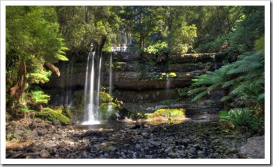
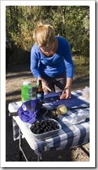
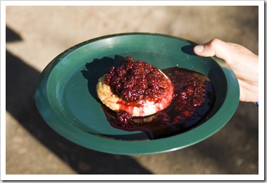
Hops near New NorfolkAnyway, Mount Field National Park was great.  Russell Falls were just as beautiful as they’re cracked-up to be, although there wasn’t much water flowing when we visited (I think winter’s a better time to see them in full flow).  More fresh blackberries at our campsite on the side of the river near the National Park, under Greg’s direction we cooked them down into a compote for breakfast, Lisa having hers over yoghurt and me drowning a crumpet. 

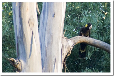
Russell FallsHorseshoe FallsLady Barron Falls Lady Barron FallsLake DobsonLisa taking care of dinner next to a container of fresh blackberriesYellow-Tailed Black Cockatoo Yellow-Tailed Black CockatooLisa with fresh blackberries for breakfastCrumpet and blackberry compote

Share

Tasman National Park And Port Arthur

Australia, Tasmania 2 Comments »
Planet View: S43°08.571’ E147°57.692’
Street View: S43°08.571’ E147°57.692’

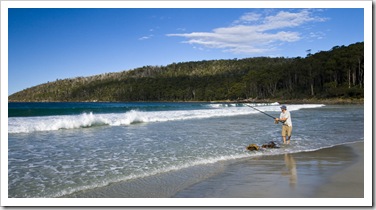
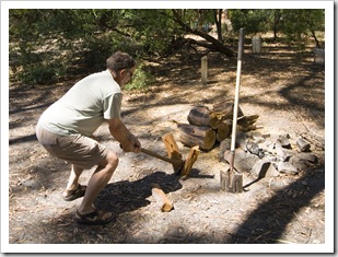
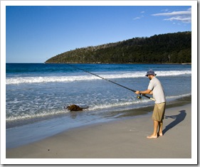
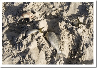
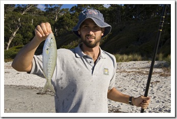
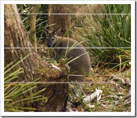
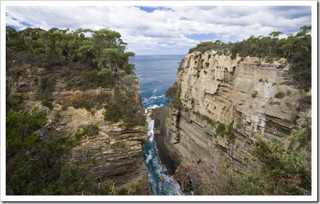
Carol and Greg by the campfire at Fortescue BayThe walkway to the beach from our campground at Fortescue BayAfter our adventures in the northeastern rainforests we high-tailed it down the east coast (with another stop at the brilliant Blue Edge Bakery in Bicheno) to the Tasman Peninsula and Tasman National Park.  Tasman is one of Tasmania’s newest National Parks, it incorporates some beautiful stretches of coastline from Eaglehawk Neck all the way south to Tasman Island and around to one of Tasmania’s most famous historic landmarks: Port Arthur.  We stopped off for lunch with a majestic Sam fishing for Salmon Trout at Fortescue Bayview over Pirates Bay at Eaglehawk Neck before heading to the south of the Tasman Peninsula to find a campsite at Fortescue Bay (S43°08.571’ E147°57.692’).  Fortescue was one of my favourite campsites in Tasmania, sites located within a few metres of the beautiful beach, hot rainwater showers available for a couple of bucks and some arborists happened to Fortescue Baybe trimming the Eucalypts when we were there so there was plenty of free firewood on offer.  Lisa and I went for a bit of a snorkel over some of Fortescue Bay’s reef early in the afternoon, unfortunately it was a little choppy so not great visibility for spearing dinner, but a beautiful spot for a swim all the same.  I threw a line in the surf and found some big schools of Australian Salmon in the waves, the ferocity with which they were biting was amazing, some of the bigger fish put some serious bend in my 10-foot surf rod!  We were again inundated by wildlife as the sun retreated over the hills behind Fortescue Bay, one Brushtail Possum found a nice seat by the fire between Lisa and me.  When Lisa realized the critter was only a few inches from her feet she spilled her nightcap of Muscat all over her clothes and hair in fright!  The photo below was Greg’s last wood chopping experience of the trip, the next morning it took him five minutes to get out of bed with a bad back, which unfortunately lasted him the rest of his time in Tasmania!

Pirates Bay between the Forestier and Tasman PeninsulasGreg chopping firewoodSam fishing for Salmon Trout at Fortescue Bay A haul of Salmon Trout at Fortescue BaySam with a Salmon Trout at Fortescue BayA visitor to our campground at Fortescue Bay

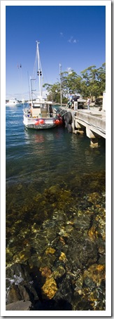
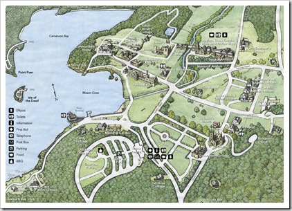
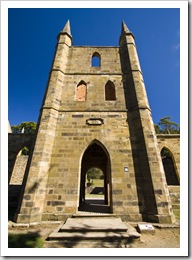
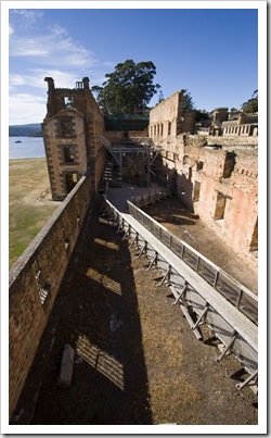
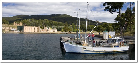
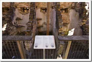
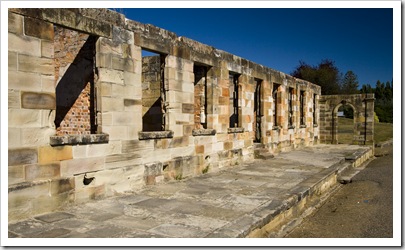
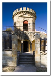
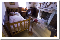
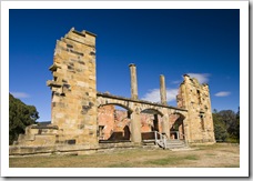
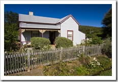
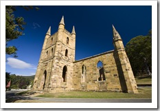
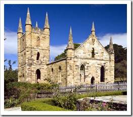
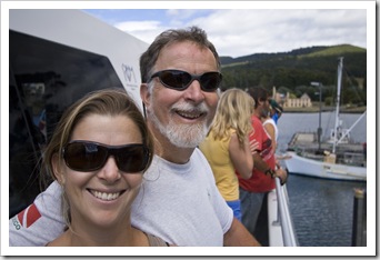
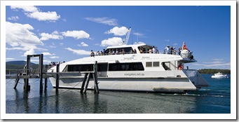
Crayfishing boats docked at Port ArthurPort Arthur The churchA trip to Tasmania probably isn’t complete without a visit to Port Arthur.  One of Australia’s most important historic landmarks, Port Arthur showcases the ruins of one of Australia’s most well preserved convict settlements.  Unfortunately the site is also famous for the tragic Port Arthur massacre in 1996, which resulted in Australia’s controversial gun buyback scheme.  The Port Arthur grounds are complete with beautiful gardens, creepy prison ruins and majestic views over the bay of Port Arthur.  It’s a good spot to visit for anyone with even Devils Kitchenan inkling of interest in Australia’s convict beginnings (please note that South Australia, where I grew up, was Australia’s only state that was not founded as a convict settlement).  The Port Arthur settlement began its life as a timber operation in 1830, it was also a popular ship building yard and later a flour mill before the prison buildings were constructed in 1848.  The main prison building has the majority of its facade still in tact, the prison hospital and guard station are also still standing on the expansive The inside of the penitentiarygrounds.  Some of the houses of the prison employees were great to see, their interiors have been painstakingly restored to their original condition with furniture and linens to boot.  The prison handled a staggering number of prisoners in its day, I think I recall reading that an in-house tannery was required to keep up with the number of Crayfishing boats docked at Port Arthurleather shoes required for the inmates, the boot makers turning out in excess of 200 pairs each day in peak times.  Touring the beautiful grounds was like taking a trip back in time…  Our entrance to the Port Arthur grounds included a boat tour around Port Arthur’s waters, which enabled us to get a close-up look at the tiny Isle of the Dead – where all Port Arthur prisoners were buried – as well as the ruins of the boys’ prison at Point Puer.  Port Arthur was abandoned as a prison during the 1880s and renamed Carnarvon in attempt to shed its association with the convict era.  These days the site is vying for World Heritage Listing and remains one of Tasmania’s most popular tourist attractions.

The prison section of Port Arthur  Three of the cells in the penitentiaryThe commandant's officeThe guard tower The penitentiary One of the bedrooms in the commandant's houseThe hospitalTrantham CottageThe church Government CottageThe churchLisa and Greg on the ferry The prison section of Port Arthur Our ferry for our tour around Port Arthur's harbourThe Isle of the DeadTasman National Park coastline near Tasman BlowholeTasman Arch

Share
    • April 2024
      S M T W T F S
       123456
      78910111213
      14151617181920
      21222324252627
      282930  
  • Next...

      A couple of months cruising up Australia's east coast...