Camping With Your 4WD

Australia, Magazines, Northern Territory Comments Off on Camping With Your 4WD

Camping With Your 4WD Camping With Your 4WD Camping With Your 4WD 

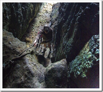
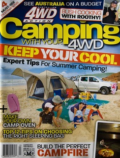
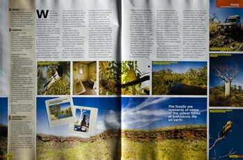
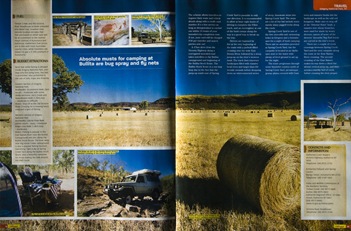
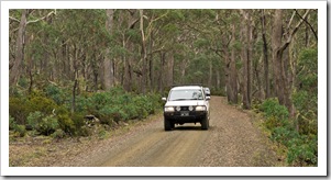
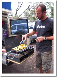
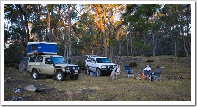
We stopped off at the bakery in Bicheno yesterday morning to find the next article of ours on the shelves in the latest edition of Camping With Your 4WD.  The spread pictured here chronicles our trip along the Bullita Stock Route through the Northern Territory’s Gregory National Park.

Share

Rainforests, Waterfalls And A Ski Resort

Australia, Tasmania 2 Comments »

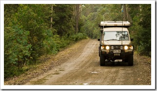
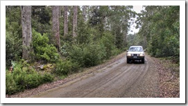
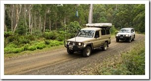
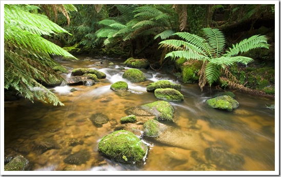
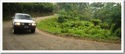
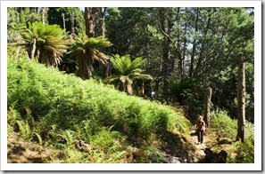
Cruising through the rainforests near Mount MauriceWe plucked another trip out of our Australian 4WD Guide for a tour of Tasmania’s northeastern rainforests.  The trip started in Scottsdale on the A3 highway and then teed off along the logging roads through Springfield and some Halls Fallsof the forests managed by the huge Gunns timber conglomerate that controls most of the logging in the state.  It was actually a little sad to see some of the forests through Springfield and Diddleum, massive swaths of forest cut clear to the ground as far as the eye can see.  That said, we did pass through some fantastic old growth forest on our way south through the mountains: beautiful undergrowth filled with massive Australian Tree Ferns and towering eucalypts in the canopy.

Rainforests near Didleum Plains

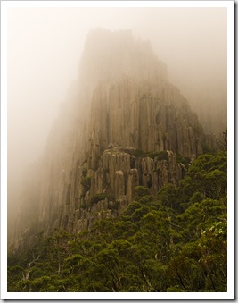
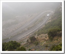
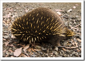
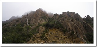
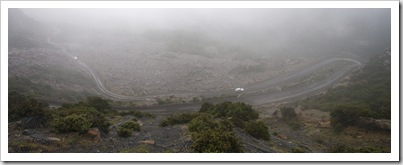
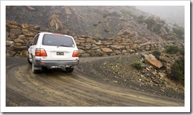
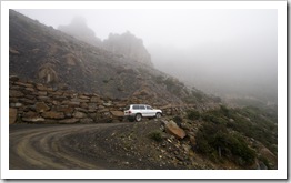
Sheer peaks alongside the road to Ben Lomond National ParkMaking our way up the perilous Jacob's Ladder on the way into Ben Lomond National ParkOur trail took us through Upper Blessington and onto Ben Lomond National Park, one of two ski resorts in Tasmania.  Ben Lomond was completely Cruising through the rainforests near Mount Mauriceshrouded in fog when we ventured up the mountain, the dirt road made its way through some striking craggy peaks and along the perilous Jacob’s Ladder, a series of switchbacks climbing through 4500 An Echidna crossing the road in Ben Lomond National Parkfeet on the way to the peak of Ben Lomond.  I had the Youngs wait at the bottom in their vehicle and managed to get a few shots of them making their way through the switchbacks.  Jacob’s Ladder is the only way to access the ski resort inside the National Park, I’d hate to be driving it when there’s snow and ice all over the ground!  We could hardly see a vehicle’s length in front of us at the Ben Lomond ski resort so turned around and made our way back down, unfortunate as there are a number of hikes through the high country of the National Park.  We stopped off at one of the Ben Lomond huts for lunch and had the chance to get up close and personal with an Echidna on the side of the road on our way out of the park, great to get one so close, they’re usually too quick to disappear into the undergrowth for good photos…

Rainforests near Didleum PlainsSheer peaks alongside the road to Ben Lomond National ParkThe road up to Ben Lomond National Park Making our way up the perilous Jacob's Ladder on the way into Ben Lomond National ParkMaking our way up the perilous Jacob's Ladder on the way into Ben Lomond National ParkMaking our way up the perilous Jacob's Ladder on the way into Ben Lomond National Park

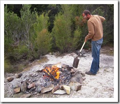
The South Esk River alongside Griffin Park camping areaMaking our way up the perilous Jacob's Ladder on the way into Ben Lomond National ParkGreg working on the fire at Griffin ParkFrom Ben Lomond it was northeast to Upper Esk and along the forest roads skirting the South Esk River to a camping spot locally known as Griffin Park (S41°27.935’ E147°51.234’).  Griffin Park is basically a clearing alongside the banks of the South Esk River, a very picturesque, middle-of-nowhere location Stopping off for lunch at one of the huts in Ben Lomond National Parkthat we had to ourselves except for another couple of campers a few hundred meters down the river.  The felled pine forests surrounding the river were a good source of wood for a nice campfire and I spent a few hours trying to tempt some of the plethora of trout we saw feeding on insects in the nearby river (no luck again…).  A fantastic spot to finish up a great day of driving through Ben Lomond and some of the surrounding rainforests.  Well, fantastic except for the fact that I got bitten by a leech, the incision from which didn’t stop bleeding for a couple of hours, and then stung in the forehead by a bee whilst fishing in the South Esk River!  We were inundated with wildlife during the evening at Griffin Park, Lisa and Carol went for a late night walk with torches (flashlights) and ran into almost ten Spotted-Tail Quolls surrounding our camp.  There were also a bunch of Pademelons and Brushtail Possums about, who needs zoos?!

The Tank loaded with wood at Griffin Park camping areaLisa making a fire at Griffin ParkEnjoying the fire at Griffin Park camping areaEnjoying the fire at Griffin Park camping area 

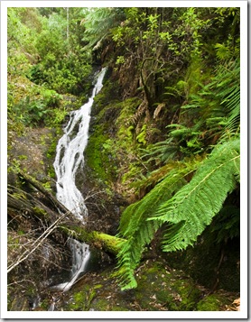
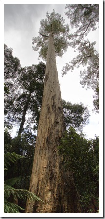
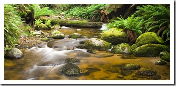
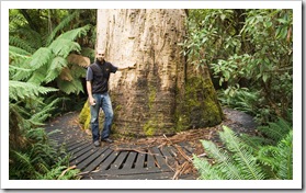
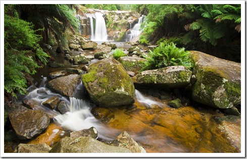
The picturesque cascades in Evercreech ForestEvercreech FallsOur second day of the tour really was the highlight.  We left Griffin Park and wound our way along the South Esk for a few kilometers to the country settlement of Mathinna, where we veered north toward Evercreech Forest Reserve.  Evercreech was an amazing place, a pocket of untouched, old-growth rainforest with some absolutely beautiful cascades and forests to walk through.  We hiked along the creek winding through the reserve to Evercreech Falls, and then along a trail through the White Knights, a small collection of the tallest Eucalyptus trees on the planet.  There’s only a handful of them left, such gigantic trees…  Such a lush little pocket of forest, we were all checking our legs for leeches throughout our walks, I found a total of three on my legs, the little buggers found their way through my jeans and socks!  If we’re ever in the area again I think we’ll make a point to stay in Evercreech Forest Reserve for the night, awesome campsites alongside the creek and a great little wooden hut with a wood stove for the colder nights. 

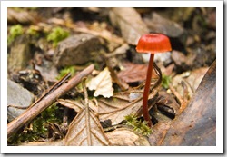
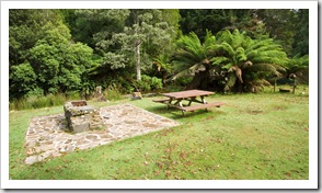
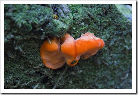
One of the White Knights in Evercreech ForestThe road between Griffin Park and Evercreech ForestThe road between Griffin Park and Evercreech Forest An isolated country residence near Evercreech ForestMaking our way into Evercreech Forest The picturesque cascades in Evercreech ForestThe picturesque cascades in Evercreech Forest A lone mushroom in Evercreech ForestThe picturesque cascades in Evercreech ForestGigantic fungi in Evercreech Forest Camping facilities at Evercreech ForestSam next to one of the White Knights in Evercreech ForestA tribute to Carol and Greg

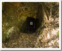
From Evercreech we continued through the forest back roads up toward Ringarooma, into some of the picturesque pasture lands around Alberton and onto Mount Victoria Forest Reserve.  We hunted around on the side of the road for an abandoned mine shaft at one point, locating it after a bit of a hunt through the forest, unfortunately it was all barred up so we couldn’t hunt for the glowworms that supposedly inhabit the 60 meter long shaft.  Mount Victoria Forest Reserve is home to the majestic Ralphs Falls, a ribbon of water cascading down sheer cliffs with an amazing panoramic view of the surrounding countryside.  This panoramic below captures roughly 220° of the view from the lookout next to Ralphs Falls.  Amazing!

A panoramic of the view from Ralphs Falls Beautiful farmland in the mountain valleys near Mount Victoria Driving into Mount Victoria Forest ReserveAn abandoned mine shaft near Mount VictoriaThe hiking trail to Ralphs Falls Lisa and Greg on the hiking trail to Ralphs FallsThe hiking trail to Ralphs FallsThe hiking trail to Ralphs FallsA panoramic of the view from Ralphs Falls

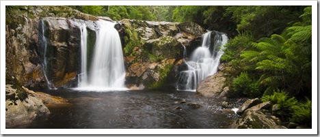
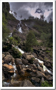
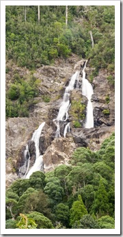
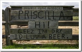
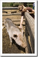
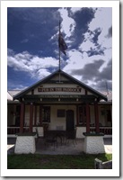
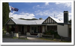
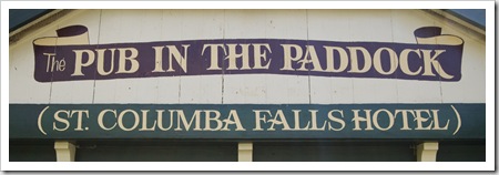
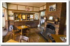
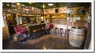
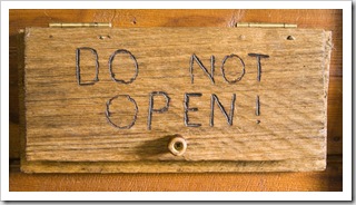
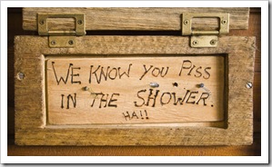
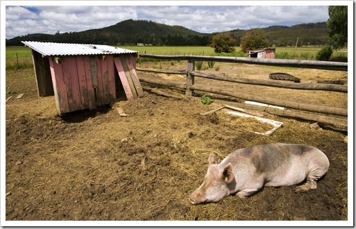
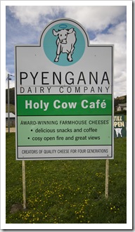
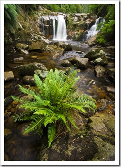
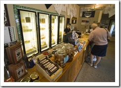
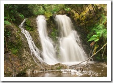
Halls FallsAlong the trail to Saint Columba FallsSaint Columba Falls were the last falls on our route.  They’re Tasmania’s largest waterfalls and are a massively powerful torrent of water.  A short drive from Saint Columba Falls and we were back on the paved roads, our 4WD tour finished up with a stop at the famous Pub In The Paddock and Pyengana Dairy Company (more of our 4WD trips need to finish off with beer and cheese!).  The Pub In The Paddock is quite an eclectic operation, some of the wall hangings (see below) were quite a hoot.  The pub has a resident pig named Priscilla who lives in a paddock just outside the bar, the owner sells a special beer brewed especially for the pig that tourists can buy for $2 a pop.  Andi Biaggi, you would have loved the Pub In The Paddock!  Halls Falls was the last point on our 4WD route, but we actually visited them on our way into Launceston a few days earlier, another beautiful cascade in the rainforest, so green and picturesque.  After the end of our 4WD trip we spent the night on the coast at Lagoon Beach and then headed inland toward Hobart to Mount Field National Park and the famous Russell Falls.

The towering Saint Columba FallsThe creek near Saint Columba FallsSaint Columba Falls Along the trail to Saint Columba FallsThe famous Pub in the PaddockLisa and PriscillaThe famous Pub in the Paddock The famous Pub in the PaddockThe famous Pub in the PaddockThe Pub in the Paddock Lisa at the bar in the Pub in the PaddockThe Pub in the PaddockThe Pub in the Paddock The Pub in the PaddockPyengana Dairy CompanyHalls Falls Greg and Carol driving through the rainforest near Halls FallsCheese tasting at the Pyengana Dairy CompanyMorning light at Lagoons Beach camping ground

Share

Launceston And The Tamar Valley

Australia, Tasmania, Wines 1 Comment »
Planet View: S41°27.471’ E147°08.395’
Street View: S41°27.471’ E147°08.395’

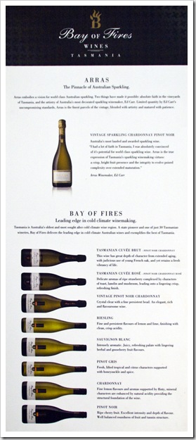
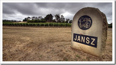
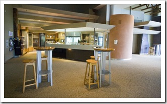
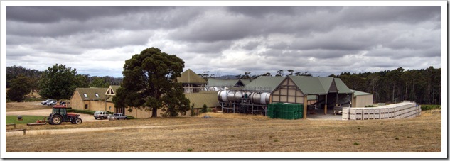
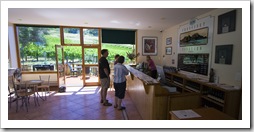
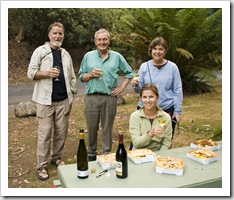
Jansz WineryTasmaniaThe Tamar Valley, spread on either side of the Tamar River near Launceston, is home to some of Tasmania’s best wineries, most of which produce only enough wine for the Tasmanian market, so quite a treat to visit.  On advice from Mike Frost and Chris Chen (a winemaker with whom we caught up in the Margaret River) we Dalrymple Wineryhad a few wineries in mind before making our way to the area.  Our first stops were at Jansz, famous for their sparkling offerings (in fact that’s all they make!), and adjacent Pipers Brook, arguably Tasmania’s most famous winery.  The two wineries are located right next to each other on a beautiful expanse of rolling hills north of Launceston.  Lisa and Greg enjoyed comparing tasting opinions at both spots, after which we headed down the road to the small operation of Dalrymple Winery.  The wines at Dalrymple are made by the same winemaker that heads up Jansz, everyone really enjoyed their offerings and we walked away with a couple of bottles for the road.  From Dalrymple our last stop for the day was at Bay Of Fires, named after the stretch of beaches north of nearby Saint Helens where we spent the afternoon a few days ago.

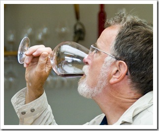
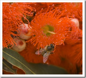
Bay of Fires WineryJansz WineryJansz Winery Jansz WineryJansz Winery Jansz WineryJansz Winery Lisa and Greg at Pipers BrookPipers Brook Greg tasting at Dalrymple WineryBees enjoying eucalyptus nectar at Dalrymple WineryBay of Fires WineryBay of Fires Winery

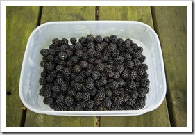
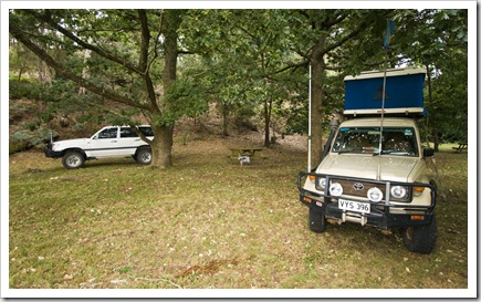
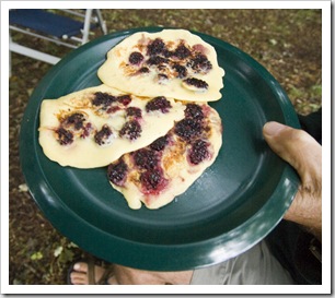
A plethora of fresh blackberries around our campsite at Lilydale FallsLilydale FallsWe stopped off at Lilydale (S41°13.723’ E147°12.548’) for the night after our day of wine tasting, finding an unlocked gate and an absence of ‘No Camping’ signs next to Lilydale Falls for a very nice spot to sleep under some beautiful old oak trees.  Lilydale Falls were a short walk from our campsite, as were a plethora of wild blackberry bushes littering the sides of the creek that ran through the surrounding paddocks.  I braved the thorns and collected a huge container full of the deliciously sweet berries, we all had our fill during the evening and had more than enough left for blackberry pancakes in the morning.  That’s camping in style!  The town of Lilydale was quite a quaint little settlement, the main street lined with a heritage-listed general store, an eatery boasting the best fried chicken in Australia, as well as no shortage of nonagenarians walking to their daily afternoon lawn bowls meet, all dressed up in their purple and white outfits.  Quite a sight!

Carol enjoying blackberry pancakes for breakfast at Lilydale FallsCamping at Lilydale FallsBlackberry pancakes for breakfast at Lilydale Falls 

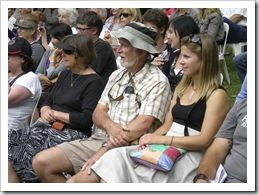
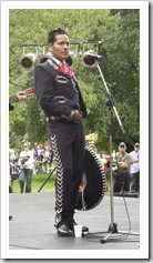
A couple of old bitties enjoying some Dickens CiderFestivaleCarol, Greg and Lisa watching the performers at FestivalePerformers at FestivaleOur loop around Tasmania took a bit of a skewed turn to take us to Launceston, Lisa and Carol had a hankering to attend Festivale on February 13, an annual food and wine festival showcasing some of Tasmania’s best wineries and cuisine.  It was an awesome day, well worth the side-trip to Launceston, there was so much to choose from it was tough to Mimes at Festivaledecide.  Local breweries, fantastic wines, seafood, pizza, German sausage makers, I could go on and on…  There were also a few stages on which different live performers kept us entertained throughout the day, a great event, we all had a ball.

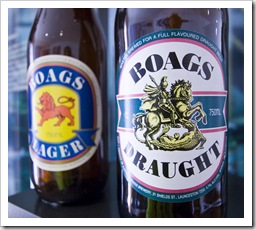
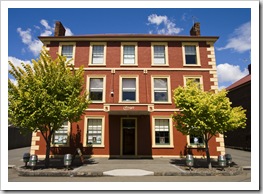
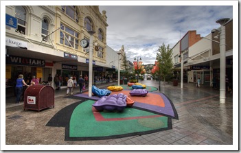
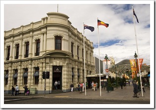
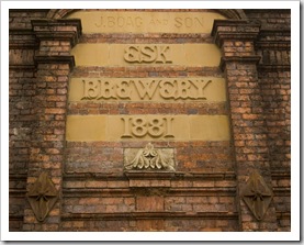
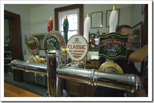
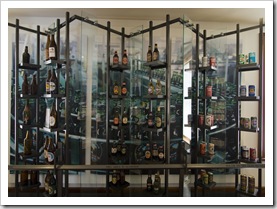
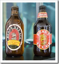
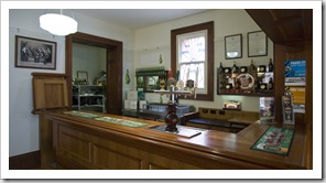
Whilst in Launceston I wasn’t going to miss a tour of J. Boag & Son brewery.  The tours set us back $25 a piece, over an hour-and-a-half we toured the operation from packaging all the way to the actual brewing.  The high-tech packaging line was an amazing conglomeration of machinery able to handle over 800 bottles per minute, the bottles whizzed through almost too fast for our eyes to behold.  The lagering tanks James Boag Centre For Beer Loverswere also a pretty awesome sight, the largest of which can hold over 500,000 bottles of beer!  Back in the old days (J. Boag & Son brewing has been in operation since 1881) full-time James Boag Centre For Beer Loversemployees were allowed to drink as much beer as they liked for breakfast, morning tea, lunch and afternoon tea.  Those days are long gone, operational health and safety isn’t too keen on brewery employees drinking beer for breakfast and lunch these days, unfortunately.  At the end of our tour we sampled four of the Boag beers in conjunction with some local Tasmanian cheeses.  A few of the Boag beers aren’t exported to the mainland, so it was fun to sample brews like Wizard Smith’s Ale and XXX Ale, both of which we’d never even seen before in the bottle shops outside of Tasmania.

LauncestonLauncestonJ. Boag & Son Brewery J. Boag & Son BreweryJames Boag Centre For Beer LoversJames Boag Centre For Beer LoversJames Boag Centre For Beer Lovers James Boag Centre For Beer LoversJames Boag Centre For Beer LoversJames Boag Centre For Beer LoversOur tour guide whilst at the James Boag Brewery 

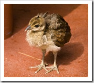
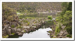
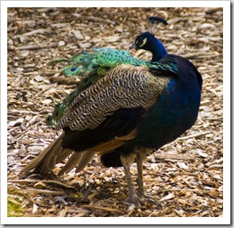
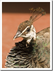
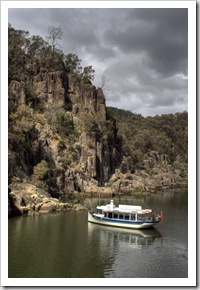
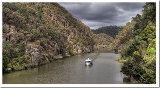
Local peacocks at the Cataract Gorge cafeCataract GorgeWe finished up our tour of Launceston with a Sunday morning walk through Cataract Gorge.  Located just minutes from the town centre the gorge has a fantastic walking trail up either side as well as a great little cafe nestled in the forest part way along.  A beautiful spot for a coffee and spot to watch the local peacocks as they walked through the diners enjoying a morning cuppa. 

Note to self: when we’re buying furniture for ourselves some time down the road the Launceston Tasmanian Design Centre showcases some of the most eye-catching and well made wooden furniture either of us had ever seen, all made by local artisans out of unique Tasmanian timbers.

Cataract GorgeLocal peacocks at the Cataract Gorge cafeLocal peacocks at the Cataract Gorge cafe Local peacocks at the Cataract Gorge cafeCataract GorgeCataract Gorge

Share

Saint Helens And The Bay Of Fires

Australia, Tasmania 1 Comment »
Planet View: S41°20.065’ E148°15.105’
Street View: S41°20.065’ E148°15.105’

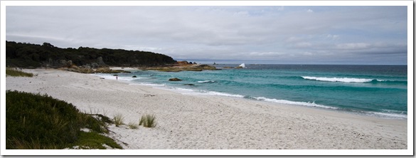
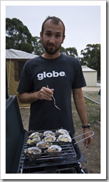
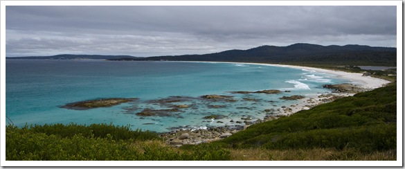
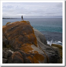
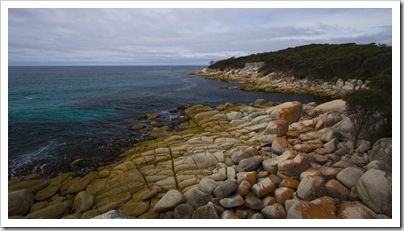
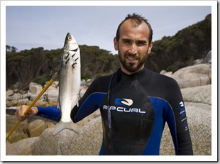
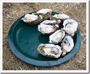
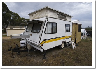
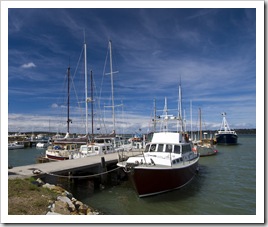
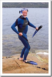
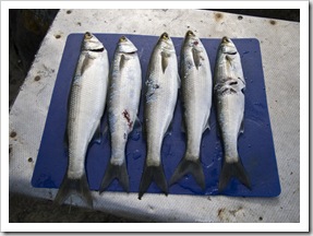
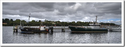
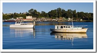
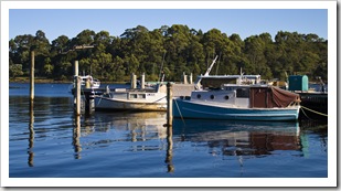
One of the beautiful beaches in the Bay of Fires Conservation AreaFrom Freycinet Peninsula we shot up to Saint Helens for a dose of civilization at the local caravan park, it was time for a shower and some washing, and it was also a good spot to escape the rain.  The Bay of Fires won an award for being the world’s best beach some years back – it’s a beautiful stretch of coastline extending north from Saint Helens, numerous coves with amazing turquoise water Sam cooking fresh oysters in Saint Helensand brilliant white sand.  It was unfortunately a little cloudy the day we were there so the brilliance of the water didn’t stand out as much as it would in the sunshine, but it’s easy to see why it’s such a tourist destination.  There’s an array of Bay of Firesfree campsites along the beachfront, had it not been a wet and windy day we probably would have stayed the night.  We stopped off at Sloop Reef one afternoon where I took a dip to chase around some more Yelloweye Mullet, so much life under the water.  We also sniffed out the local oyster farms, located a few kilometers north of Saint Helens, where we bought a few dozen oysters and prepared them with an assortment of toppings on the BBQ back the the caravan park.  There was a bit of excitement at the Saint Helens port when we were cruising through town one afternoon, the local paddle steamer floating restaurant had started to sink and had to be hoisted out of the water and on to the dock by a couple of mobile cranes! 

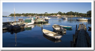
Greg standing on the rocks at Bay of FiresBay of FiresSam catching Yelloweye Mullet for everyone's dinner at Bay of Fires Fresh oysters in Saint HelensThe caravan park at Saint HelensThe tiniest caravan we've ever seen! Boats in the harbour at Saint HelensBoats in the harbour at Saint HelensBoats in the harbour at Saint Helens

Share

Freycinet Peninsula

Australia, Tasmania, Wines 2 Comments »

Planet View: S42°05.184’ E148°13.942’
Street View: S42°05.184’ E148°13.942’

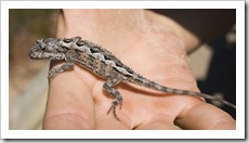
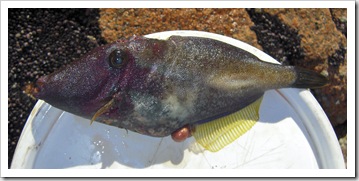
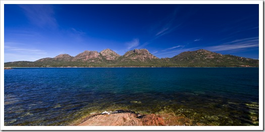
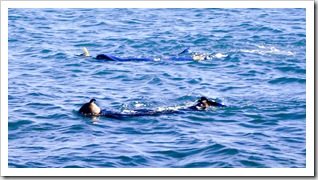
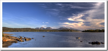
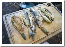
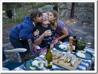
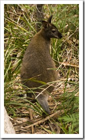
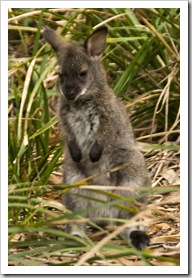
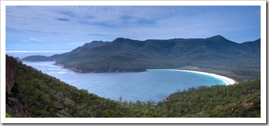
Freycinet WineryView of the vineyards and Freycinet PeninsulaWe headed east to Freycinet Peninsula in the search of fresh oysters for Dad’s birthday.  Traveling through the state’s warm center the terrain was very different than the cool forests we had previously been camping in.  Rolling golden hills with roaming livestock reminded us a bit of the hills around Sonoma County.  We stopped off at Freycinet Winery to enjoy a sampling of an excellent 2000 sparkling as well as some tasty Pinot Noirs. Once on Freycinet Peninsula we explored the Greg, Lisa and Carol tasting at Freycinet WineryFreycinet WineryNational Park campground before settling on yet another great free campsite at Moulton’s Lagoon.  We enjoyed a celebratory birthday toast for Dad with a great glass of Riesling, some oysters prepared a couple of different ways, and even a few scallops.  The weather was so pleasant that when we reached Coles Bay Sam and I decided we had to A lizard in the sand dunes at Friendly Beachget into the water.  The snorkeling was great with plenty of fish, stingrays and urchins to view, Sam managed to spear us five Yelloweye Mullet and a Leatherjacket for dinner.  Dad Freycinet National Park's Friendly Beachthought the water looked inviting so he joined us the following day for a snorkel after our hike to Wineglass Bay.  The hike to Wineglass Bay was amazing, we walked up a steep hill in Coles Bayand amongst giant boulders that balanced precariously on each other.  The bay earned its name from when the whaling industry used to corral the whales in the giant bay to slaughter them thus turning the water red, pretty nasty really.  The water today is a beautiful turquoise blue and happened to be pumping some good sized swell the morning we were there.  Sam could not pass up the opportunity to go for a quick body surf before we continued our hike across the peninsula to Hazards Beach and then onto the Hazards, concluding an eleven kilometer loop.  Mom and Dad weren’t feeling up to the distance so they tackled the steep steps back up and over the ridge.  Sam speared another meal of fresh fish in the afternoon and we of course had to check out the local bakery for an afternoon snack.  A beautiful sunset and warm campfire was the perfect end to our visit of Freycinet Peninsula.

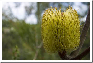
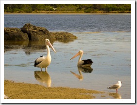
Lisa overlooking Wineglass Bay Sam, Lisa and Greg enjoying oysters in Coles BayOysters, scallops and wine for Greg's birthday in Coles BayOysters, scallops and wine for Greg's birthday in Coles BayOysters, scallops and wine for Greg's birthday in Coles Bay Lisa getting ready to go snorkeling in Coles BayGreg helping Sam with a Yelloweye Mullet in Coles BaySam spearfishing in Coles BayA Leatherjacket in Coles Bay Greg cnorkeling in Coles BayThe Hazards in Freycinet National ParkSam with some speared Yelloweye Mullet Sam and Lisa snorkeling in Coles Bay Freycinet National Park's The Hazards from our campground in Coles BayYelloweye Mullet and Leatherjacket for dinner in Coles Bay Happy birthday Greg!Happy birthday Greg!Happy birthday Greg! A wallaby on our hike to Wineglass BayLisa and Greg on the way to Wineglass BayA wallaby in Freycinet National ParkA tiny joey in Freycinet National Park Wineglass BayLisa walking along Hazards Beach on our hike back from Wineglass Bay Banksia in Freycinet National ParkSam cooking up a storm in Coles BayHazards Beach on our hike back from Wineglass BayFreycinet National Park Lisa walking along Hazards Beach on our hike back from Wineglass BayA fresh catch of Yelloweye Mullet for dinner in Coles BayPelicans in front of our campsite in Coles Bay Sunset over the lagoon in front of our campsite in Coles Bay (all credit to Lisa on this one...)

Share

The Lyell Highway And Central Tasmania

Australia, Tasmania 1 Comment »

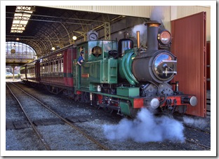
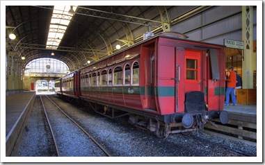
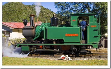
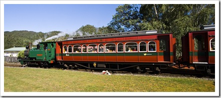
The West Coast Wilderness Railway in QueenstownQueenstownThe Tank near the copper mines of QuuenstownFrom Strahan we started our adventure inland, up through the southwestern mountains and toward the small mining enclave of Queenstown.  The famous West Coast Wilderness Railway makes its way from Strahan to Queenstown daily and we were lucky enough to be in Queenstown when the train was departing downhill through the rainforests for Strahan.  It’s an amazing old steam engine that has been impeccably maintained, great to see it in action.  We considered taking a trip on the railway (and on second thoughts we all agree we probably should have done so) but instead passed it by, at the time content to see the steam engine as bystanders as it left the Queenstown station.

QueenstownQueenstownQueenstown The West Coast Wilderness Railway in QueenstownThe West Coast Wilderness Railway in QueenstownThe West Coast Wilderness Railway in Queenstown The West Coast Wilderness Railway in QueenstownThe West Coast Wilderness Railway in QueenstownThe West Coast Wilderness Railway in Queenstown

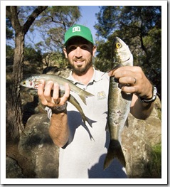
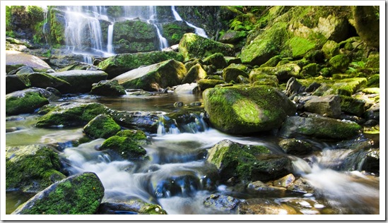
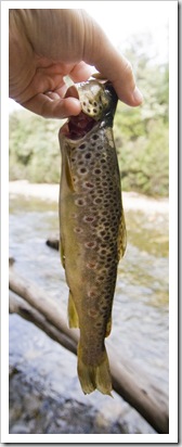
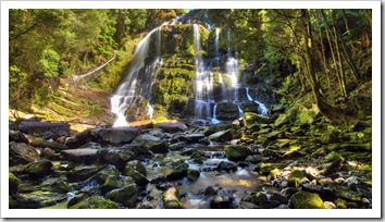
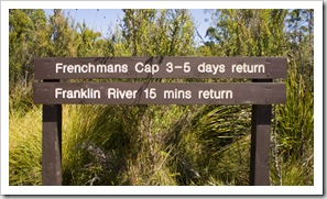
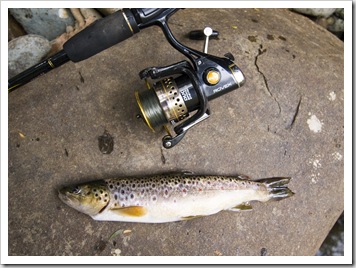
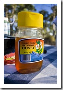
Nelson Falls in Cradle Mountain-Lake Saint Clair National ParkA succesful afternoon of trout fishing on the Franklin RiverThe Lyell Highway is the lone road from western Tasmania to the state’s centre, bisecting the expansive Franklin-Gordon Wild Rivers National Park and Cradle Mountain-Lake Saint Clair National Park, which combined with Southwest National Park (inaccessible unless you fly, boat or walk in) cover roughly one third of Tasmania’s land mass.  We had a taste of Cradle Mountain-Lake Saint Clair National Park a couple of weeks back with our trip to Cradle Mountain and Crater Lake, the southern portion of the National Park around Lake Saint Clair gave us a dose of Tasmania’s beautiful rainforests and wild rivers.  We also ventured into Franklin-Gordon Wild Rivers National Park, most of which is inaccessible apart from a few short walks from the Lyell Highway and a three to five day hike into Frenchmans Cap.  I spent one afternoon wading the crystal clear waters of the mighty Franklin River in search of trout while Carol, Greg and Lisa explored the Lake Saint Clair visitor centre and staked out a campsite alongside Lake King William.  I finally came home with some trout for dinner, enjoyed by the Youngs and Lisa as a dinner entree.  A beautiful part of the country, great to see all the Leatherwood trees in bloom with the bees buzzing around to make delicious Leatherwood honey (we bought a bottle and are thoroughly enjoying it).

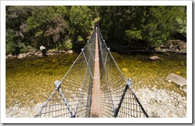
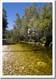
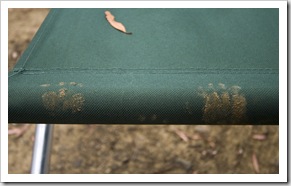
Lake Burbury on our way into the mountains Nelson Falls in Cradle Mountain-Lake Saint Clair National ParkFranklin-Gordon Wild Rivers National ParkCarol, Greg and Lisa hiking to Donaghys Hill in Franklin-Gordon Wild Rivers National Park Frenchmans Cap in Franklin-Gordon Wild Rivers National Park The Franklin River in Franklin-Gordon Wild Rivers National ParkLisa with Frenchmans Cap in the distanceFranklin-Gordon Wild Rivers National ParkThe swinging bridge over the Franklin River Lisa and Greg on the swinging bridge over the Franklin RiverA succesful afternoon of trout fishing on the Franklin RiverGreg at our campsite on Lake King WilliamSam fishing on Lake King William Our campsite alongside Lake King William Sam watching Greg cook troutGreg and trout for an entreeGreg, Sam and Lisa at our campsite on Lake King WilliamPaw prints on one of our chairs in the morning

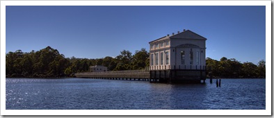
Lisa waiting for the boat on Lake Saint ClairThe old pump house on Lake Saint ClairThe Overland Track is a six to eight day hike traversing Cradle Mountain-Lake Saint Clair National Park, beginning with the hike we took to Crater Lake a week or two ago.  The trail culminates at Lake Saint Clair, when we visited it was the running of the a annual Overland Track running race, where crazies run the entire length of the Overland Track in a single day.  I believe the record for the 80-or-so kilometers of high country hiking trail is Lake Saint Clairaround seven-and-a-half hours!  Nuts.  We took a boat along the length of Lake Saint Clair, stopping off at the old Lake Saint Clair pump house as part of our tour.  Lake Saint Clair is Australia’s deepest freshwater lake at 167 meters (548 feet) at its deepest point, the boat tour is also Australia’s highest altitude commercial boat ride.  Lake Saint Clair was dammed last century, raising its natural level by a few meters, and the pump house pictured was here added to fuel the hydroelectric plant installed at the Lake Saint Clairdam’s base.  Interesting to learn that the pump house used more power than the hydroelectric dam produced and also that the pumps in the pump house have only ever been turned on three times in their history, a poignant example of government planning at its finest!  Our boat tour dropped us off at the northern end of the lake, from where we hiked back through the rainforests along the banks of the lake.

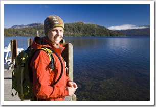
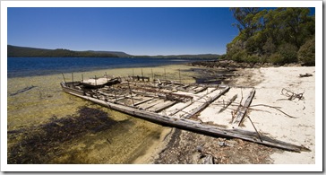
Waiting for the boat on Lake Saint Clair Lisa warming in the sun at Lake Saint ClairLake Saint ClairLisa hiking through the forest around Lake Saint ClairLake Saint Clair Lake Saint ClairOur transport across Lake Saint ClairA towering Beech Myrtle next to Lake Saint Clair Lake Saint ClairLisa hiking around Lake Saint ClairAn old barge washed up on the shores of Lake Saint Clair

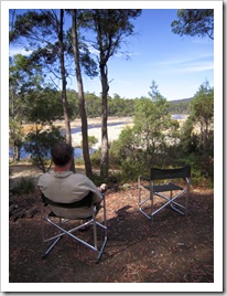
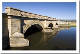
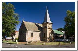
Our campsite at Lagoon of IslandsAfter our day of hiking around Lake Saint Clair we continued east along the unsealed Marlborough Highway, past the Great Lake and to the secluded Lagoon of Islands (S42°06.644’ E146°56.295’) in Tasmania’s centre.  It was a brilliant bush campsite, alongside an expansive lagoon with plenty of wildlife The historic town of Rossand a campfire to keep us busy.  We had wallabies, Pademelons and Brushtail Possums coming out of the bush well into the evening, I was even woken during the night as a possum found its way into the bag we keep strapped to the back of The Tank for empty beer cans.  From the Lagoon of Islands we stopped off at the historic town of Ross on our way east, a nostalgic settlement in the middle on central Tasmania’s agricultural country with an amazing array of heritage buildings.  A quick restock in Campbell Town and we pushed on to the lauded Freycinet Peninsula.

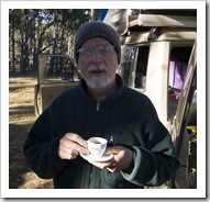
Lisa relaxing at our campsite at Lagoon of IslandsOur campsite at Lagoon of IslandsOur campsite at Lagoon of Islands Sunset over the Lagoon of Islands  Our campsite at Lagoon of IslandsLocal Leatherwood honeyGreg and a morning Turkish coffee at Lagoon of IslandsThe historic town of Ross The historic town of RossThe historic town of RossThe historic town of Ross The historic town of RossThe historic town of RossCountryside on the drive to Freycinet Peninsula

Share

West Coast Explorer

Australia, Tasmania 2 Comments »

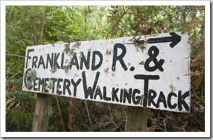
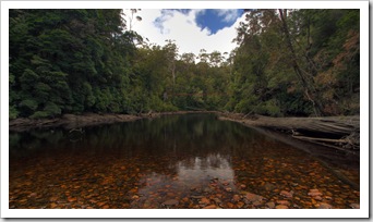
Tasmania Lighthouse at Bluff Hill PointThe wind didn’t quite want to leave us alone as we left Stony Point and headed south to the kite-surfing and surfing hotspot of Marrawah.  Marrawah isn’t much, a collection of shacks and a general store that doubles as a petrol station, where Greg and Carol refueled and we started our route along the great Western Explorer.  The Western Explorer traverses Tasmania’s rugged western coast, a region of the state that is for all purposes still unpopulated and mostly wilderness.  From the unspoiled Tarkine rainforests of the north, the beautiful rolling plains of Arthur Pieman Conservation Area and further south to the striking Hiking down to the Frankland River from Balfourforest-covered mountains of the great rivers near Strahan.  The Western Explorer, the only route south between Marrawah and the harbour town of Strahan, is a lone dirt road skirting the edge of the Arthur Pieman Conservation Area, a vast expanse of wilderness wedged between the Arthur River to the north and the wild waters of the The Frankland RiverPieman to the south.  We spent some time exploring the beaches between Marrawah and Arthur River, all surprised at the ferocity of the seas in the gale-force easterly winds during our time along the coast.  Other than a few fishing settlements, the coast south of Marrawah is pretty much devoid of people, there are a few tracks leading to the coast along the way but other than those it was a expanse of button grass-covered rolling plains on our trip through Arthur Pieman.  We stopped off at the local Arthur River ranger station to apply for an off road driving permit, planning to brave the sand and water crossings to Sandy Cape, but after the wind didn’t abate we instead decided to head inland. 

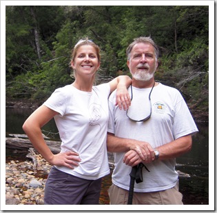
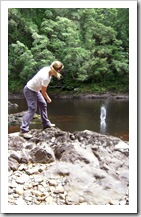
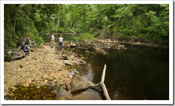
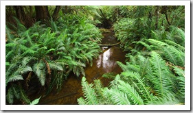
As a bit of a side trip we detoured into the bush settlement of Balfour, a ramshackle collection of huts spread through the forest a few kilometers east of the Western Explorer.  Amazing the lengths some people will go to get away from it all!  We found a walking track leading down to the Frankland River, a beautiful hike through fern-filled forests down to the water, I had a bit of a swim and Greg and Lisa a rock-skimming competition before we got moving again and found a brilliant bush campsite next to the Lindsay River (S41°18.546’ E144°59.420’).  Carol and Greg had their first experience using The Tank’s shower and we enjoyed a bit of a respite from the wind, a great spot to spend the night with the sound of the trickling river all to ourselves.

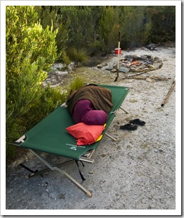
The powerful seas near Arthur RiverCouta Rocks in the Arthur Pieman Conservation AreaCouta Rocks in the Arthur Pieman Conservation Area The Tank and her new friend in the Arthur Pieman Conservation AreaHiking down to the Frankland River from BalfourThe Frankland River near Balfour Greg and Carol using low range on the way out of BalfourLisa cooking up a storm at our campsite next to the Lindsay RiverCarol taking a nap at our campsite on the Lindsay RiverLisa and Greg by the Frankland River Lisa skimming rocks on the Frankland RiverCarol, Greg and Lisa on the banks of the Frankland River near BalfourThe hiking trail to the Frankland River from Balfour The Lindsay RiverThe Tank and her friend at our campsite on the Lindsay RiverSam tending to the fire by the Lindsay River 

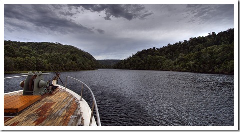
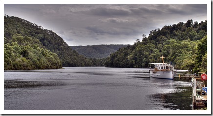
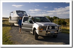
The road through the Arthur Pieman Conservation AreaA 60 year old Huon PineFrom our spot on the Lindsay River we continued south along the Explorer, the rolling hills eventually giving way to the striking mountain country and roaring rivers of Tasmania’s southwest.  We crossed the beautiful Donaldson River with thick rainforests covering its banks and headed to Corinna, a small tourist-driven town on the northern bank of the great Pieman River.  The Pieman is a massive body of water, one of the old-world logging rivers down which the timber fellers of old would float their bounty of Huon Pine.  These days, instead of logging, Corinna is a tourist magnet, deriving its income from tours down the great Cruising the Pieman River on Arcadia IIPieman River and 4WD tag-along trips to the Pieman Heads.  One of Mike Frost’s ‘must do’ adventures along Tasmania’s west coast was to take a boat down the Pieman River to the Pieman Heads, the remote meeting of the Pieman River with the Southern Ocean.  We arrived at Corinna eight minutes after the day’s boat had left but the skipper was nice enough to turn around and come to pick us up (at $79 a head I have an idea why he turned around!).

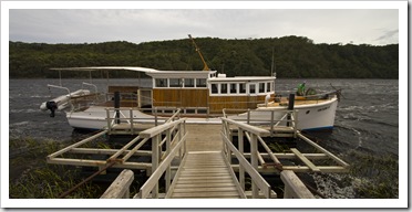
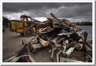
Lisa on Arcadia II on the Pieman RiverThe Pieman River trip uses the world’s last remaining Huon Pine-built pleasure cruiser, the Arcadia II.  The Arcadia was built in 1937 and, after a retrofit along the way here and there, is still servicing the river from whose banks her hull was constructed.  It was a Wood graveyard at the mouth of the Pieman RiverWood graveyard at the mouth of the Pieman Riververy interesting trip, the skipper (whom we originally encountered when he was working on Shacks in the settlement at the mouth of the Pieman RiverEl Questro up in the Kimberley!) was a bundle of knowledge about the forest on the banks of the Pieman.  He pointed out some young Huon Pines along the way, the old growth trees were all decimated by logging earlier last century but it was great to see some of the young trees pointed out.  The photo above the one of Lisa to the right is of the droopy leaves of a young Huon Pine, the skipper estimated it to be roughly 60 years old.  They’re amazingly slow growing trees which is why their hard timber is so valued, some of the old growth trees felled by loggers last century were many thousands of years old.

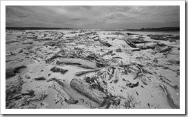
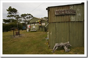
The coastal winds were still in full force when we made it to the Pieman Heads.  The isolated beaches around the heads were like a graveyard of trees, the dead trunks floating downriver during the winter floods and becoming stranded at the river’s mouth.  There was also an interesting collection of beach huts at the river mouth, the only road access along a 4WD track from Granville Harbour, some of the eclectic decorations on the holiday houses were a real hoot.

The road through the Arthur Pieman Conservation AreaArcadia II and the Pieman River Dense forest on the banks of the Pieman RiverBlack swans on the Pieman RiverDense forest on the banks of the Pieman River The mouth of the Pieman RiverShacks in the settlement at the mouth of the Pieman RiverPowerful seas and wisps of flying sand at the mouth of the Pieman River Shacks in the settlement at the mouth of the Pieman RiverShacks in the settlement at the mouth of the Pieman RiverArcadia II on the Pieman River

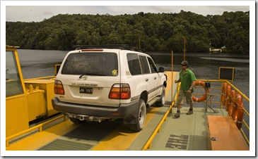
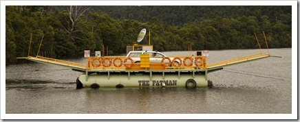
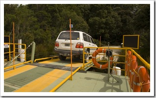
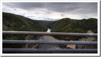
Carol, Sam and Greg on Arcadia IICrossing the Pieman River on Fatman BargeAfter we were done with our cruise up and down the Pieman we found that the campsite we had in mind alongside the Savage River was already occupied so we had no choice but to continue south.  The only way south from Corinna from the end of the Western Explorer is across the Pieman River on the Fatman Barge.  The barge is run by the owners of the Tarkine Hotel in Corinna, a small ferry that pulls itself to and fro across the Pieman with the help of submerged steel cables.  After a quick look around the The Tank driving across the massive Reece DamCorinna settlement we squeezed onto the Fatman Barge for the Tank’s second journey over water (the first being the Spirit of Tasmania).  After hopping off the Fatman it was a short drive along the dirt to meet the bitumen again, we spent the night next to the massive Reece Dam (the beginning of the Pieman River) at a picturesque spot near the lake.  It was a bit of a wet night at Reece Dam (S41°43.891’ E145°08.054’), some of the heaviest rain we’ve encountered so far on our trip, we had quite an interesting tarpaulin setup between the vehicles to shelter us over dinner and into the evening (the awning at the back of The Tank doesn’t quite fit four!).

The Fatman Barge from Corinna to the southern bank of the Pieman RiverThe Tarkine Hotel in CorinnaThe Tarkine Hotel in Corinna Crossing the Pieman River on Fatman BargeCrossing the Pieman River on Fatman BargeCrossing the Pieman River on Fatman Barge Crossing the Pieman River on Fatman BargeCrossing the Pieman River on Fatman BargeReece Dam and the Pieman River below

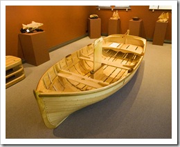
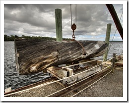
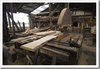
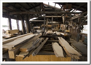
StrahanStrahanFull of history from its days as the hub of the west coast’s logging industry, these days Strahan (S42°09.186’ E145°19.082’) subsists mostly on tourism.  It’s a beautiful harbour town tucked alongside Macquarie Harbour, we escaped to the local caravan park for a much-needed shower and spot of laundry before exploring the town centre.  With a good bakery, no shortage of restaurants, tours up the Gordon River, the famous West Coast Wilderness Railway Fishing boats in the morning light in Strahanand such a picturesque location it’s no wonder Strahan is such a tourist magnet.  One of the original wood mills is still in operation on the town’s wharf, the current operator is a fourth generation saw miller and a lot of the machinery in the establishment is still original.  Like a journey back through time…  When logging was in full swing on Tasmania’s west coast the towering old growth trees of the western rainforests were felled and dragged into the closest river in the hope that the winter’s rains would float them to the ocean where they could be easily retrieved.  The Huon Pine trunk pictured below to the right was felled in the 1960s and only recently made its way down A beautiful Huon Pine boat in one of the galleries in StrahanA piece of Huon Pine felled in the 1960s ready to be milledthe rivers into Macquarie Harbour where it was plucked out of the water by the last remaining saw mill in town.  The trunk actually had the Strahan saw mill’s brand on it, still visible after half a century and clearly identifying its owner!  The saw mill and adjacent woodworking gallery displayed a beautiful collection of knick knacks and artwork made from Tasmania’s most prized timbers: Black Sassafras, Beech Myrtle and the king of them all, Huon Pine.  There was a small row boat in the gallery made exclusively from Huon Pine, an amazing piece of craftsmanship, it’d want to be for the $15,000 price tag!

Strahan StrahanStrahanStrahan Greg, Lisa and Sam at the Henty Dunes near StrahanLisa taking care of business in StrahanOne of the galleries in Strahan One of the original saw mills in StrahanOne of the original saw mills in StrahanWood ready to be milled in Strahan The trail to Hogarth FallsHogarth Falls in central StrahanFishing boats in Strahan Fishing boats in the morning light in StrahanFishing boats in the morning light in StrahanFishing boats in the morning light in Strahan

Share

The North Coast

Australia, Tasmania Comments Off on The North Coast

From Cradle Mountain the four of us headed back to the north coast of Tasmania, spending a night next to the beautiful Hellyer River in Hellyer Gorge Conservation Park (S41°16.399’ E145°36.922’) on the way down from the mountains.  Even though we were basically camped in a clearing on the side of the A10 highway, the surrounding forests and adjacent river made it a great spot.  We all had a swim in the river and I spent a couple of hours wading the river trying to lure in a few of the local trout.  I managed to hook one but he was too small to keep, although that’s not to say that there weren’t some huge fish in the river…  Guess I just didn’t have the ideal lures for the local fish.

The Hellyer River next to our Hellyer Gorge campsiteOur Hellyer Gorge campsiteCarol relaxing in the Hellyer River next to our Hellyer Gorge campsite 

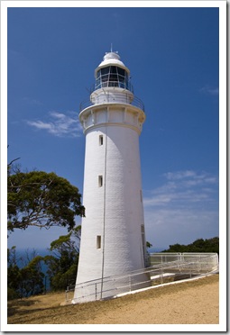
The lighthouse at Table CapeWe made our way to the port town of Burnie (S41°02.931’ E145°53.049’) early on Monday morning, where we met up with a long time family friend, Mike Frost.  Mike has lived in or visited just about any country you care to name and has been friends of my parents since they were all twenty-something globetrotting about South America.  Mike was kind enough to not only detail an ideal touring route around the north and west coasts of Tasmania, but he also put us all up for the night in Burnie and gave us a brilliant guided look around the place he calls home.  Unfortunately Mike’s wife, Edna, wasn’t in town for our quick visit but we’re planning on making our way back to Burnie before leaving Tasmania to say hello.

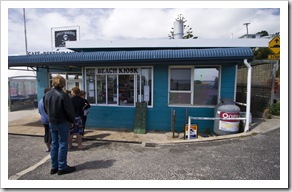
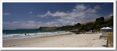
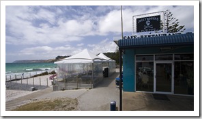
Jolly Roger's Kiosk at Boat Harbour BeachAt Mike’s suggestions we took a day trip west of Burnie along the coast, taking in the sleepy nearby settlement of Wynyard and stopping off at Boat Harbour Beach for lunch.  Jolly Roger’s Kiosk on the beach has to be one of the best value beachside eateries I’ve ever come across, not too many places one can still buy a fish burger with two fillets of fresh whiting for $6.00!  We toured around Table Cape from Boat Harbour Beach, unfortunately the bushfires further west were obscuring the view but it was worth the trip to see the patchwork fields of opium poppies littering the countryside near Table Cape.  We learned (thanks to Carol’s tour book) that Tasmania supplies the world with roughly 40% of its medicinal opiates, most of which are used for morphine production.  Australia is one of the only western countries with a government-sanctioned opium production industry, a veritable money pot for farmers growing the lucrative crop.  All of the fields around Table Cape had sizeable danger signs hung on their fences, Mike mentioned that heavy fines are associated with crossing into one of the poppy fields, as one would expect. 

Boat Harbour BeachJolly Roger's Kiosk at Boat Harbour BeachTable Cape

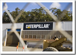
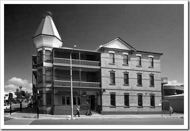
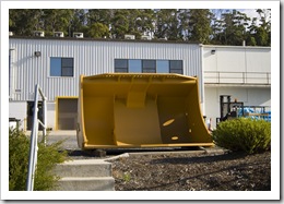
Caterpillar headquarters in BurnieOne of the old pubs in downtown BurnieI spent some time exploring central Burnie whilst Greg and the girls ventured to a nearby alpaca farm, after which we headed back to the Frosts’ for the beginning of Big Mike’s Burnie Tours.  Mike’s lived in Burnie for over 30 years and has been heavily involved in local business since relocating to Tasmania, he was a veritable wealth of information on the area and gave us a fantastic tour of the town.  He took us past the world headquarters of Caterpillar Underground Mining, a division of the behemoth Caterpillar heavy machinery company that specializes in underground mining A shovel from one of the Elphinstone Caterpillar underground mining trucksvehicles.  A local engineer by the name of Dale Elphinstone originally designed and built the underground haulers that are now made under the Caterpillar brand, Caterpillar acquired the Elphinstone Central Burniebusiness to make Dale one of the richest men in Tasmania.  The underground haulers are still made in Burnie and exported all over the world.

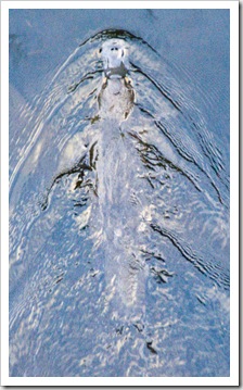
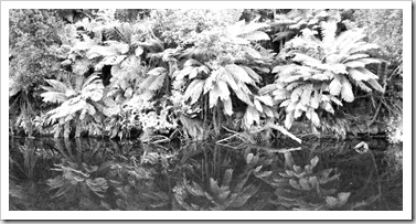
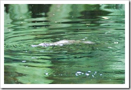
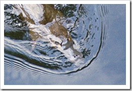
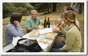
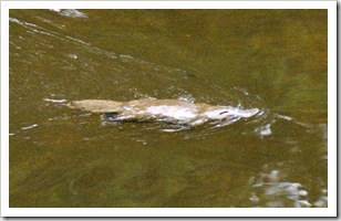
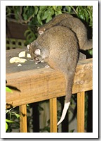
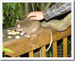
After a quick look at the Caterpiller facility Big Mike’s Burnie Tours turned to a wildlife adventure, we headed to nearby Fern Glade Reserve for a walk through some of A Platypus in Fern Gladethe surrounding rainforest and to try our luck at spotting one of Australia’s most unique and elusive animals: the Platypus.  The Platypus is one of the world’s two monotremes (the other is the Echidna), a mammal that lays eggs instead of giving birth Fern Gladeto live young.  Neither Lisa or I had ever seen a Platypus in the wild but we were lucky enough to catch sight of a couple in the evening light at Fern Glade.  One of them swam underneath a bridge when I was walking across so I managed to snap a couple of great photos.  A real treat to see them up close in the wild, such a strange animal with their duck-like bill and furry body…  Mike treated us all to a fantastic fish and chips dinner, arriving around dusk with a couple of bottles of the best wines from his cellar, it was a very memorable experience for us all sitting there with the Platypus in the river behind us whilst dining at one of the picnic tables.  More wildlife back at Mike’s as he sliced some apples to feed the local Ringtail Possums, he has a family of the cute tree-dwellers living in the Eucalyptus in his yard.  It didn’t take long for them to venture down to Mike’s balcony for a feed once fresh apple was on offer.  Once darkness hit we all went down to the beach and caught a glimpse of the Fairy Penguins that roost in the dunes around Burnie during the spring and summer months, the caretakers even spotted some chicks for us hiding in a culvert in the sand.  So much wildlife in one day!

A kookaburra in Fern GladeA Platypus in Fern GladeA Platypus in Fern GladeGreg, Mike, Carol and Lisa dining in Fern Glade Fern Glade A Platypus in Fern GladeGreg, Mike, Carol and Lisa dining in Fern GladeFeeding Ringtail Possums at Mike's house in BurnieFeeding Ringtail Possums at Mike's house in Burnie

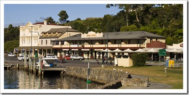
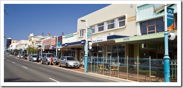
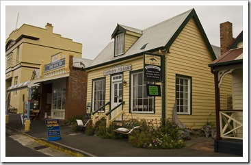
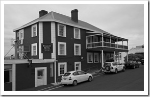
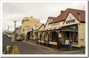
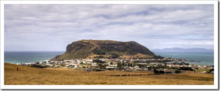
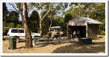
Central StanleyCentral StanleyWe bid Mike and Burnie goodbye with our sights set on the quaint fishing town of Stanley at the northwestern tip of Tasmania.  Stanley was the headquarters of the original Van Diemen’s Land Company, founded in 1824 under a Royal Charter to use 250,000 acres of Tasmania’s northwest to supply the needs of the British textile industry.  Today all that’s left of the company are the beautiful heritage-listed buildings in central Stanley, most of which are extremely well maintained and add a lot of character to the town’s main street.  Carol, Greg and Lisa sampled one of the local scallop pies (I was holding out for the bakery in Smithton) and we toured some of the beautiful woodworking galleries on the main street before heading further west to Stony Point (S40°44.726’ E144°58.767’) near Montagu for our last night (a very windy one!) on Tasmania’s north coast.

The quaint town of StanleyCentral StanleyCentral Stanley Heritage buildings in central StanleyStanley and The NutCamping at Stony Point

Share

Cradle Mountain

Australia, Tasmania 7 Comments »
Planet View: S41°34.734’ E145°56.098’
Street View: S41°34.734’ E145°56.098’

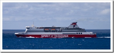
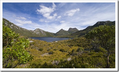
Our transport to Tasmania: the Spirit of TasmaniaFrom King Island we flew back to Melbourne for one more night with the Kennares and then hopped on to the Spirit of Tasmania for our journey across Bass Strait.  Although we left an hour late and were on the boat for more than nine hours, I really enjoyed the trip on the ferry (I’m not sure I can say the Cradle Mountain and Dove Lakesame for Lisa and the Youngs…).  With a couple of bars, plenty of food, a casino, restaurant, live music, cinema and a well-stocked gift shop there was plenty to keep us all entertained.  We arrived in Devonport (S41°10.427’ E146°22.211’) late on Friday night, quickly checked-in to the Abel Tasman Caravan Park and then made a beeline for the nearest pub.  I wish pubs on the mainland still had prices like those in Devonport: at the Edgewater Hotel Cradle Mountain and Dove Lakethe four of us ate a sit-down restaurant meal with a round of drinks for $65.00.  Nice!  Quarantine regulations prohibited us from bringing fish, fruit or vegetables across on the ferry so we had a big restocking at Devonport’s Woolworths the morning after our arrival before heading into the Tasmanian high country.

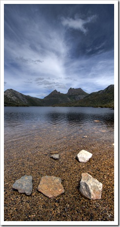
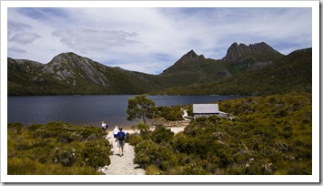
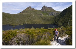
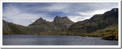
From Devonport we set our sights on Cradle Mountain-Lake Saint Clair National Park, roughly 85 kilometers inland from the coast.  It was a beautiful drive through the mountains, we stopped off at Sheffield for a quick lunch at the bakery and continued on through the fern-filled forests of the Tasmanian high country.  The Tank doesn’t appreciate mountains as much as we do: on the way up she always seems to need a second-and-a-half gear and on the way down she’s too heavy for the engine to slow her down.  It becomes a delicate juggle between speed and heating up the brakes.  Nonetheless, we made it to Cradle Mountain-Lake Saint Clair National Park in one piece, where we checked into the only campground in the park’s northern section and spent the afternoon hiking around Dove Lake with spectacular views of Cradle Mountain in the distance.

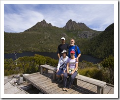
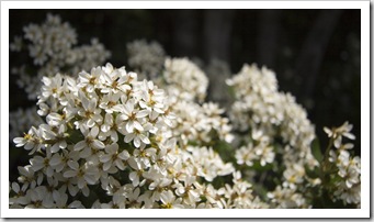
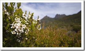
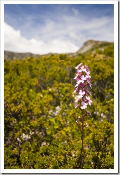
Dove Lake with Cradle Mountain in the distance  The Youngs and Lisa hiking around Dove Lake with Cradle Mountain in the distanceSam, Greg, Carol and Lisa in fron of Cradle MountainCradle Mountain wildflowers Lisa hiking around Dove Lake with Cradle Mountain in the backgroundWildflowers and Cradle MountainKayakers on Dove Lake Dove Lake and Cradle Mountain

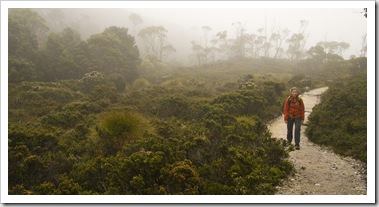
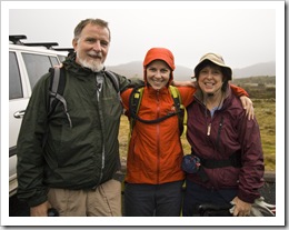
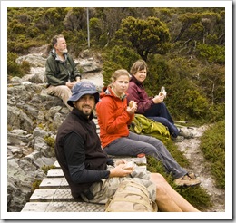
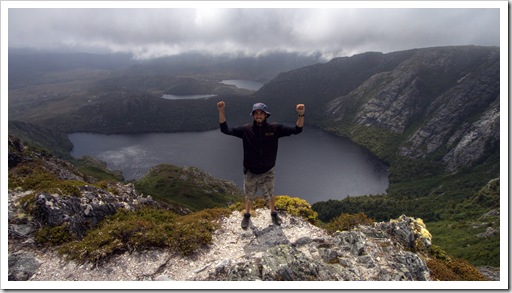
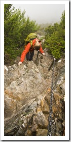
Wildflowers with Crater Peak in the backgroundLisa on the way to Crater LakeOn our second day in the National Park we set our sights on a five-or-so hour walk traversing 4200 vertical feet and completing a loop along the striking cliffs encircling Crater Lake.  It was an interesting day of weather, to say the least: I started off in shorts and a t-shirt and at one point during the day was wearing three warming layers plus a Gore-Tex rain jacket!  Our hike began at Ronnie’s Creek parking lot, the beginning of the famous Overland Track, a walking trail traversing the National Park from Cradle Mountain to Lake Saint Clair and taking roughly six to eight days to complete.  It was a misty walk up into the rainforest surrounding Crater Creek, at times we struggled to see 50 meters in front of us, Greg, Lisa and Carol suiting up in Ronnie's Creek parking lota stark difference to the brilliant blue skies of the day before.  By the time we reached Marions Lookout (S41°39.630’ E145°57.169’) we hadn’t seen much of the beautiful vistas surrounding us, the fog and misty rain was still quite thick and the wind was making things a little miserable.  We hiked around the cliff tops of Crater Lake and passed by Crater Peak, all agreeing that with the dense fog it wasn’t worth the hike to the summit if we couldn’t see anything!  It was through the boggy highland swamps and back down to Crater Creek for lunch, roughly halfway between our high point for the day and the Ronnie’s Creek parking lot.  While we were eating the skies began to clear, after we’d finished lunch Crater Peak finally came into view.  I decided that I couldn’t complete the Crater Lake hike without even a photo of the picturesque lake itself, so Carol, Greg and Lisa continued down to the vehicles while I bolted back up to the top of Crater Peak for some absolutely brilliant views of the trail we spent all morning hiking (but hadn’t really seen!).  The cliffs dropping into Crater Lake are so sheer that there’s really only Eating lunch on the way back down near Crater CreekSam on top of Crater Peak with Crater Lake in the backgroundtwo places around the rim where one can see the entire lake: Marions Lookout and Crater Peak.  The view from Crater Peak’s summit (S41°39.584’ E145°56.401’) was absolutely magic, the caldera-like Crater Lake in the foreground with Dove Lake and Lake Lilla in the distance.  I started snapping shots furiously at each break in the clouds but the views only got better as I stood at the summit, the dual peaks of Cradle Mountain (Little Horn and Weindorfers Tower) eventually breaking through the clouds and completing the spectacular panorama.  I’m so glad I bolted back up to the summit, it was well worth the roughly 600 vertical feet of climbing I had to redo!

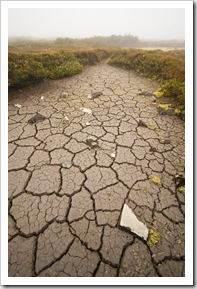
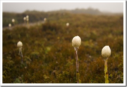
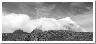
Crater Lake with the tips of Cradle Mountain to the right  Lisa walking through the plains near Crater CreekCrater CreekA wet morning on the way to Crater Lake Climbing the chains to Marions LookoutClimbing the chains to Marions LookoutThe boggy plains near Crater PeakClosed wildflowers near Crater Peak Cradle Mountain in the cloudsHigh country plains near Crater PeakThe Crater Lake hike The trail back to Ronnie's Creek parking lotThe Crater Lake hikeBoardwalk near Ronnie's Creek with Crater Peak in the distance

Share

King Island

Australia, Tasmania 8 Comments »

Planet View: S39.939224° E143.860473°
Street View: S39.939224° E143.860473°

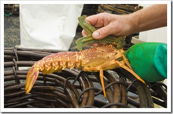
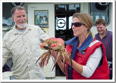
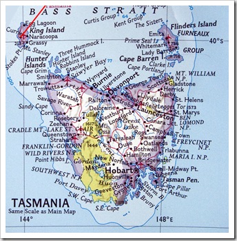
TasmaniaLisa holding a Giant CrabKing Island is located in Bass Strait above the northwestern tip of the island of Tasmania, we visited some of Lisa’s family friends, the Jordans, for a few days before making our way south to Tasmania.  The island subsists on its famous King Island Beef and King Island Dairy cheese, as well as being a magnet for lobster fisherman attracted by the bounty of crustaceans living in the surrounding ocean.  The Newby family from Sydney were also on the island for our visit, Lisa’s mum attended school with Sue Newby and the Young family met the Jordans through the Newbys, remaining close friends and travel companions ever since.  There are roughly 1600 inhabitants of the small island, it’s the kind of place where everyone knows each other on a first name basis and life takes a relatively slow pace compared to the hustle and bustle of nearby Melbourne.

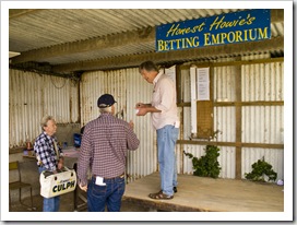
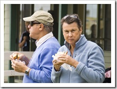
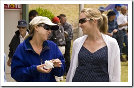
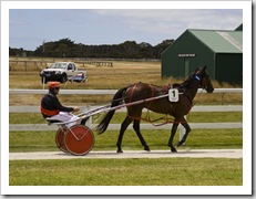
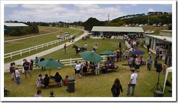
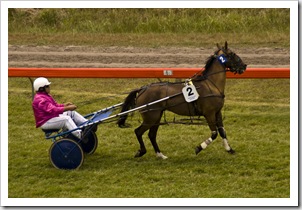
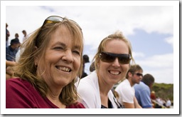
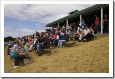
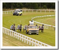
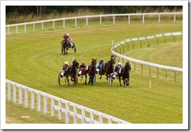
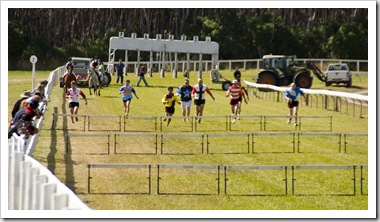
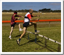
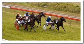
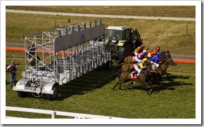
We stayed with the Jordans in their beautiful home in Currie for our six days on the island, they were the epitome of hospitality, providing the best the island has to offer for our visit and making it very difficult to The Human Hurdle Race at the King Island RacesThe King Island Racesleave.  After flying in on a small plane from Melbourne we all ventured to the King Island The King Island RacesRace Club for the last of the season’s horse racing meets.  There was quite a gathering for the event, the stands being full for each of the nine-or-so races, which had everything from trots to conventional gallops.  The betting was via a conventional TAB or the slightly more traditional bookies at Honest Howie’s Betting Emporium, The King Island Racesboth venues frequented multiple times by members of our troop, most of whom had a win or two during the afternoon.  The steak sandwiches at the races were definitely some of the best we’d ever tasted, King Island scotch fillets served up in a sandwich with all the Aussie fixings, including a helping of bacon and egg.  If it wasn’t for the line I would have gone back for seconds!  We had a surprise visit from the premier (US: governor) of Tasmania during the afternoon, on the island for the last race meet of the season as well as to celebrate the reopening of the island’s abattoir.  I was also lucky enough to win one of the raffles when my horse came in first in race seven of the day.  It was a bit of fun to watch the Human Hurdle Race, a clash involving locals racing over hurdles whilst holding a flute of champagne, the winner collecting a South Pacific holiday worth $10,000. 
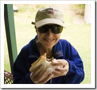
 Lisa snacking on one of the best steak sandwiches ever at the King Island RacesSteve and Jenni at the King Island RacesLisa and Linda at the King Island RacesThe King Island Races Lisa and Sam at the King Island RacesThe King Island RacesThe King Island Races Jenni and Lisa at the King Island RacesSue and Linda at the King Island RacesThe King Island RacesThe King Island Races The King Island RacesThe King Island RacesThe premier of Tasmania (David Bartlett) at the King Island RacesSam and his raffle winnings at the King Island Races John and Dawn at the King Island RacesThe Human Hurdle Race at the King Island RacesThe Human Hurdle Race at the King Island Races 

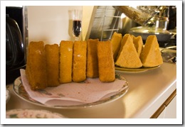
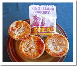
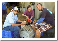
Grant's famous deep-fried camembert wedgesCrayfish pies from the King Island BakeryFrom the delectable cheeses of King Island Dairy to succulent cuts of local beef and delicious Giant Crab from the deep waters west near the Southern Ocean shelf, we sure had a memorable culinary adventure during our stay.  Grant dished-up his famous wedges of deep-fried King Island camembert, served with plum sauce they were well worth the hundreds of calories in each bite!  A new addition to my list of Australia’s best bakeries is King Island Bakery, which serves a selection of baked goods infused with local produce, the crayfish pies and camembert, bacon and spinach pies were absolutely to die for.  My dad sent a case of wine to the island for our stay, coupled with the Jordans’ extensive cellar no one was wanting for exquisite wines with any of our meals.  Rob even broke out some of his Muscat and port selection for dessert one night, I think I’m going to have to go on detox for a little while to give my liver a bit of a rest after six days on King Island. 

Panoramic of the Jordans' property overlooking British Admiral Reef A gift from Sam's dad waiting for us on arrival at King IslandSteve reading the paper at the Jordans'King Island beef for dinner one night at the Jordans' The King Island ladies: Lisa, Sue, Linda, Jill, Carol and DawnGrant making his famous deep-fried camembert wedgesLisa and Grant Legs of lamb for dinner one night on King Island 

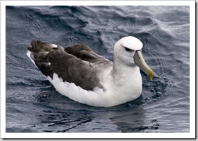
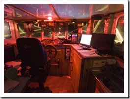
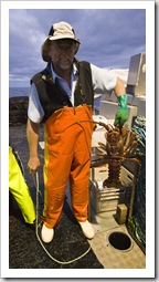
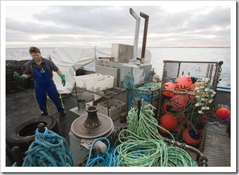
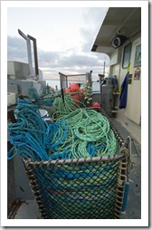
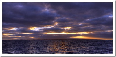
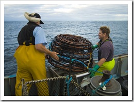
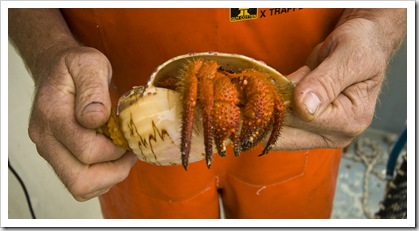
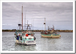
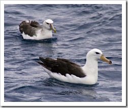
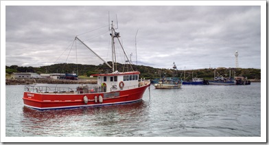
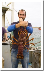
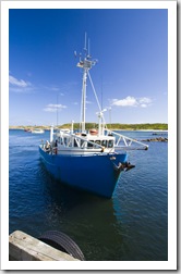
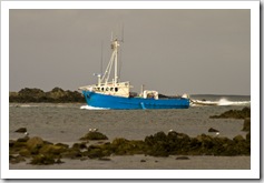
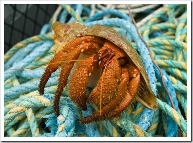
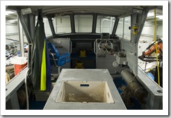
Albatross shadowing KingfisherGrant's abalone boatKingfisher's cabin in the early morning darknessThe Jordans operate a crayfish boat, Kingfisher V, based out of Currie, King Island’s main town.  The boat is quite a vessel, having enough deck space to accommodate 50 crayfish pots, five beds below the cabin as well as enough tank space to hold a few tonnes of crayfish and abalone.  Kingfisher is typically skippered by Rob or the eldest son Paul, shipping out for Sunrise over the crayfish pots on Kingfisheranything from day trips out of Currie to multi-week voyages along the isolated west coast of Tasmania and around to Hobart.  The lobster caught by Rob and Paul don’t usually hit Sam holding a four kilogram crayfishthe domestic markets, they’re typically flown to Melbourne and then transported live to the Asian markets or, for the crayfish over 2.5 kilograms, they make their way to the USA (bigger’s always better in the States…).  Grant, Dawn and Rob’s youngest son, operates his own abalone business, for which he dives off a custom-built abalone boat amongst the rocky reefs surrounding most of King Island.  Unlike conventional SCUBA gear, grant dives using a hose and boat-secured, nitrox-filled (nitrogen-enriched oxygen) tanks enabling him to stay A hermit crab pulled up in one of the deep crayfish potsunderwater for multiple hours at a time (I think he mentioned his longest dive being around seven hours!).  When I go diving with mates on California’s north coast I’m happy to pull up my legal limit of three abalone per day.  When Grant goes diving he’s not happy if he’s not pulling up in excess of 100 kilograms of abalone per hour, which equates to roughly 200 Blacklip Abalone per hour!
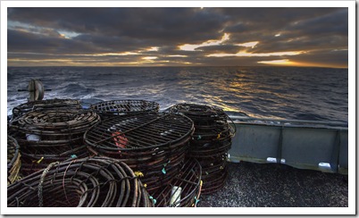
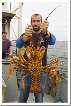
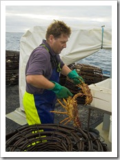
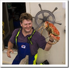
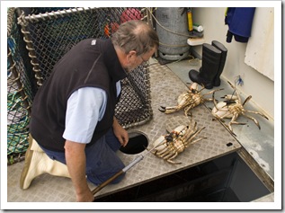
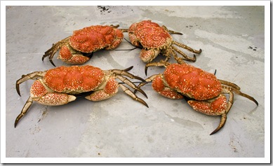
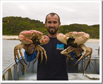
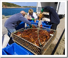
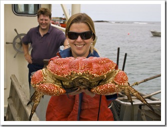
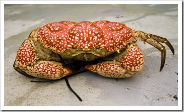
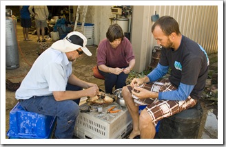
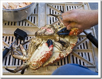
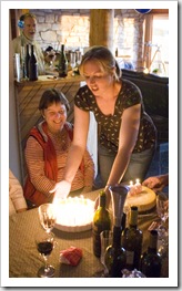
I ventured out with Rob and his deckhand Russell for a Giant Crab on Kingfisher's deckday on Kingfisher.  Russell’s a jovial young bloke who was happy to show me the ropes on Kingfisher, he’s the recent new owner of the only post office on King Island and loves his new home to bits.  We set off from Rob, Carol and Sam cleaning Giant CrabCurrie’s harbour at around 4:30AM, leaving the rocky cove with the assistance of land-mounted light beacons guiding the way in the darkness.  The operation of the Jordans’ crayfish boat is a well oiled machine, pots are marked using GPS and retrieved from the deeps A Giant Crab about to be cleanedusing a custom-built winching system.  By the end of our trip I was retrieving the lobster from the pots, Russell re-baiting them with Australian Salmon ready for their next drop, and Rob supervising to make sure everything put in the tanks was of legal size.  Quite interesting to note the colour difference in lobster pulled from different depths: we had a number of pots pulled from roughly 70 meters (240 feet) below the surface, the lack of light at that depth results in lobster with almost white exoskeletons, a marked difference to the bright red shells of the crayfish pulled from shallower water.  It was a lot of fun, a very unique experience to see the inner-workings of the commercial lobster industry.  On our return to Currie Rob retrieved four Giant Crabs from Kingfisher’s tanks, caught a few weeks earlier by Paul and Grant on a trip west to the deep waters of the Southern Ocean shelf.  The crabs were an amazing sight, the male crabs had claws as big as an adult human’s forearm and can crush a glass soda bottle with ease (notice the cable ties holding the crab claws against their bodies so we all could keep our fingers attached!).  The Jordans treated us all to a dinner of Giant Crab for Carol’s surprise birthday dinner, such sweet flesh and an amazing amount of meat in each crab’s claws and legs.
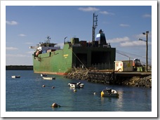
Grant's abalone boatGrant pulling his abalone boat out of the shedGrant getting ready to launch his abalone boat in GrassyThe freight ship delivering supplies to King Island in Grassy Russell getting salmon ready to be used as bait in the crayfish potsRob displaying a three to four kilogram crayfishRussell getting the bait readyKingfisher Rob the skipperSunrise from KingfisherRob and Russell pulling in a crayfish pot A hermit crab pulled up in one of the deep crayfish potsRussell removing crayfish from the potRob measuring the carapace of one of the smaller crayfish Crayfish boats in the Currie harbourAlbatross shadowing KingfisherCrayfish boats in the Currie harbour Russell holding a Giant CrabRob pulling Giant Crab from Kingfisher's tanksGiant Crab on Kingfisher's deck Sam holding  couple of Giant CrabLisa holding a Giant CrabSam holding a four kilogram crayfish Lisa, Steve, Jenni and Greg on the way out to KingfisherCarol and Rob on the way out to KingfisherRob, Carol and Sam cleaning Giant CrabGreg and John the workers

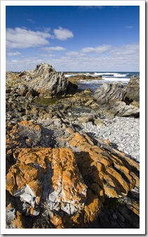
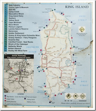
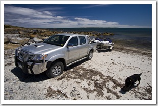
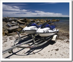
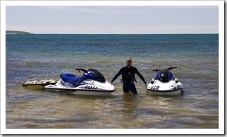
The coastline north of the main town of CurrieKing IslandLisa entering the cave at Seal RocksWhen we weren’t eating, drinking or fishing we spent our time exploring the island, the rocky coastline made for some beautiful photos.  Grant has a well-stocked supply of toys in the sheds at the rear of the Jordans’ property, everything from jet-skis to hang gliders.  Grant and I took out the jet skis toward the north of the island one afternoon, launching at the southern end of beautiful Quarantine Bay and venturing out toward nearby Christmas and New Years Islands.  We found some spots of good swell in the middle of the deserted beaches of Quarantine Bay, Grant demonstrating how to charge the larger waves and ride the face before they crashed.  I managed to flip my jet-ski on one occasion, giving Grant a good laugh and myself a bit of a fright as I tried to right the craft and restart it before the next set of waves was on me.  Grant also took us all on a trip to Seal Rocks State Reserve at the southern tip of the island, home to a calcified forest, beautiful stretches of coastline and a stalactite-filled cave.  It was a bit of an adventure getting into the cave but well worth the mud most of us left with on our clothes, the cave’s two caverns are filled with a myriad of stalactites and mineral deposits creating fantastic patterns on the walls. 
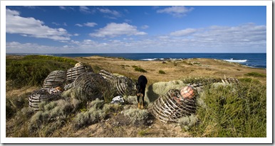
Celebrating Carol's 60th birthdayLisa and Jill at Steve and Jenni's beach house on King IslandJenni and Steve's beach house on King IslandThe coastline north of the main town of Currie The coastline north of the main town of Currie  Old lobster pots and 'D the Dog'Getting ready to launch the jetskis in Quarantine BayGetting ready to launch the jetskis in Quarantine Bay Sam with the jetskis in Quarantine BaySunset from the Jordans' house on King IslandThe calcified forest at the south end of King Island The calcified forest at the south end of King IslandView along the southern coast of King Island from Seal Rocks'D the Dog' sprinting next to the car Seal Rocks The entrance to the cave at Seal RocksLisa, Greg and Grant clambering on the rocks on the way into the cave at Seal Rocks Greg entering the cave at Seal Rocks 'D the Dog' drinking after a big runMuddy boots after a trip to the Seal Rocks caveGreg, Lisa, Linda, Jill and JohnLisa, Jenni and Sam at the Nautilus Coffee Shop Caroline's Pottery on King IslandCaroline's Pottery on King IslandKing Island Cattle on Grant's farmGrant's cattle on King IslandCattle on Grant's farm 

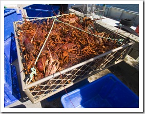
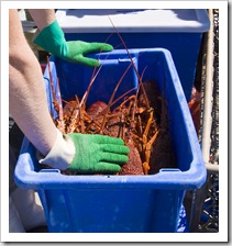
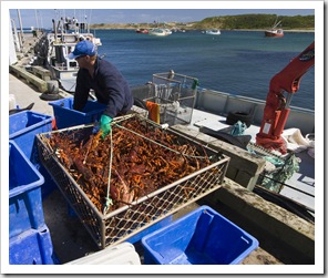
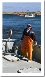
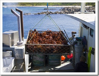
Kingfisher in the Currie harbourRemoving crayfish from the tanks on KingfisherRemoving crayfish from the tanks on KingfisherWe were lucky enough to be on the island when the Jordans were offloading their crayfish catch for export.  The exercise involves the local seafood processors packing the live lobsters into crates for transport to Melbourne, the crayfish are removed from Kingfisher’s tanks via an on-ship crane.  Awesome to see hundreds of kilograms of live crayfish being unloaded into the crates, a very colourful payday for the family!
Paul on KingfisherRemoving crayfish from the tanks on KingfisherRemoving crayfish from the tanks on KingfisherKingfisher in the Currie harbour 

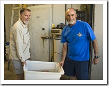
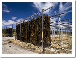
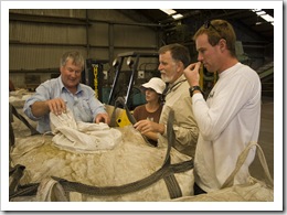
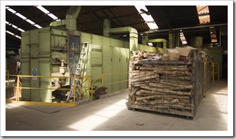
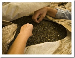
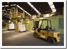
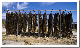
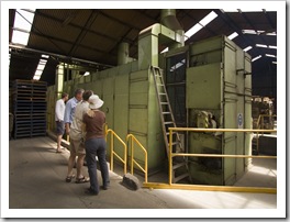
Removing crayfish from the tanks on KingfisherKelp drying on the racksSampling the finished product at the King Island kelp factoryIn addition to all the beef, cheese and seafood exported from King Island, another major industry for the tiny land mass is the export of kelp.  The Bull Kelp endemic to the north coast of Tasmania contains a high concentration of alginates, compounds found in seaweeds used for a dizzying Sampling the finished product at the King Island kelp factoryarray of applications: in foods for thickening and stabilization of drinks and creams, for syneresis in ice-cream and cheese, as a thickener in The King Island kelp factorypharmaceutical lotions and creams, as a gel in dental impression powders, for its water holding properties in paper coatings, as a binding agent in ceramics and welding rods…  I could go on!  Paul and Grant used to harvest Bull Kelp from the King Island beaches before they had bigger fish to fry, when we visited there were 55 registered kelpers on King Island but only a couple of full-timers.  The huge strands of kelp are collected from the island’s beaches using winches and trucks and then hung to dry for a number of days at the kelp factory.  Once dried the kelp is roughly a quarter of its original size, at which point it’s further dried in a massive wood-fired oven and hammered into small flakes.  The flakes are exported to factories all over the world in shipping containers, the manager of the plant even puts the stuff on his cereal in the morning!
 Kelp drying on the racksThe wood-fired furnace at the King Island kelp factoryThe wood-fired furnace at the King Island kelp factory 

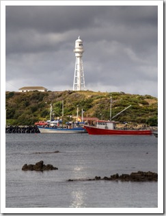
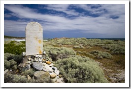
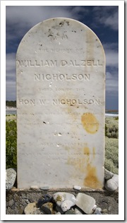
Currie harbour and the lighthouseIt was an absolutely fantastic six days on King Island, I’d love to go back one of these days.  We’re so appreciative of Linda Newby and the Jordans’ hospitality, it was such a treat to be toured around the island and hosted like royalty for our visit, thank you all so much!
British Admiral Beach

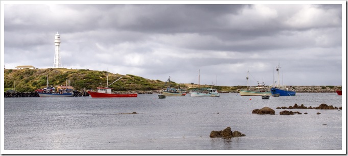
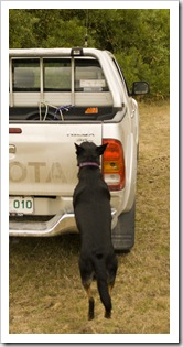
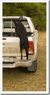
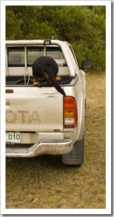
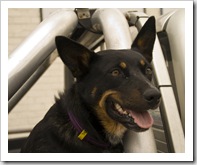
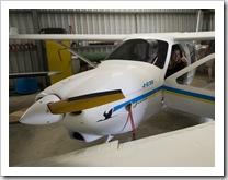
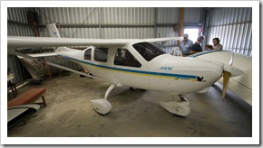
British Admiral BeachCurrie harbour and the lighthouse'D the Dog' loading into the Hilux'D the Dog' loading into the Hilux'D the Dog' loading into the Hilux Kingfisher coming into Currie harbour'D the Dog'Lisa in the cockpit of Grant's ultralight Jabiru planeGrant's ultralight Jabiru plane

Share
    • April 2024
      S M T W T F S
       123456
      78910111213
      14151617181920
      21222324252627
      282930  
  • Next...

      A couple of months cruising up Australia's east coast...