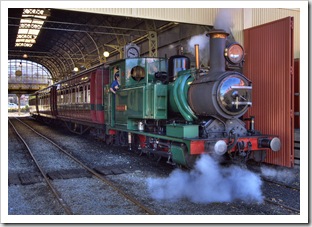
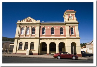
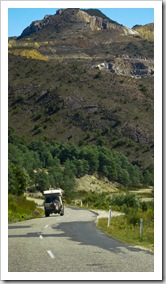
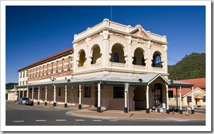
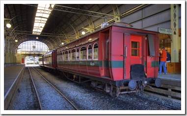
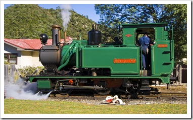
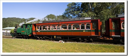
 From Strahan we started our adventure inland, up through the southwestern mountains and toward the small mining enclave of Queenstown. The famous West Coast Wilderness Railway makes its way from Strahan to Queenstown daily and we were lucky enough to be in Queenstown when the train was departing downhill through the rainforests for Strahan. It’s an amazing old steam engine that has been impeccably maintained, great to see it in action. We considered taking a trip on the railway (and on second thoughts we all agree we probably should have done so) but instead passed it by, at the time content to see the steam engine as bystanders as it left the Queenstown station.
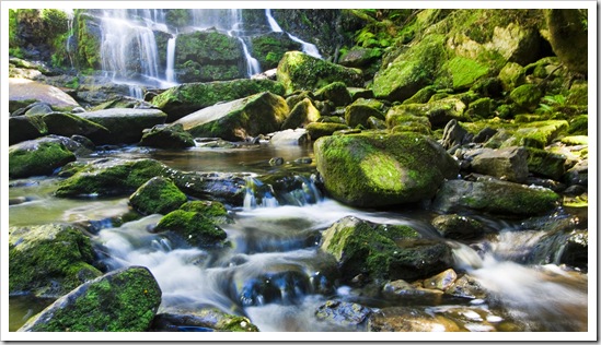
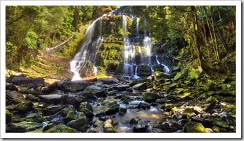
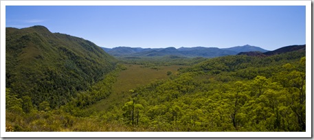
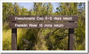
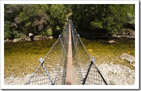
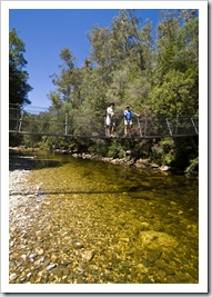
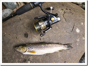
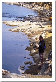
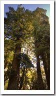
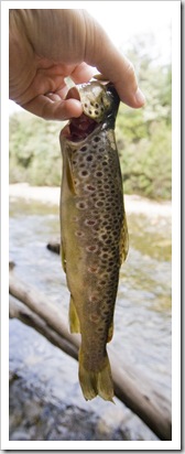 The Lyell Highway is the lone road from western Tasmania to the state’s centre, bisecting the expansive Franklin-Gordon Wild Rivers National Park and Cradle Mountain-Lake Saint Clair National Park, which combined with Southwest National Park (inaccessible unless you fly, boat or walk in) cover roughly one third of Tasmania’s land mass. We had a taste of Cradle Mountain-Lake Saint Clair National Park a couple of weeks back with our trip to Cradle Mountain and Crater Lake, the southern portion of the National Park around Lake Saint Clair gave us a dose of Tasmania’s beautiful rainforests and wild rivers. We also ventured into Franklin-Gordon Wild Rivers National Park, most of which is inaccessible apart from a few short walks from the Lyell Highway and a three to five day hike into Frenchmans Cap. I spent one afternoon wading the crystal clear waters of the mighty Franklin River in search of trout while Carol, Greg and Lisa explored the Lake Saint Clair visitor centre and staked out a campsite alongside Lake King William. I finally came home with some trout for dinner, enjoyed by the Youngs and Lisa as a dinner entree. A beautiful part of the country, great to see all the Leatherwood trees in bloom with the bees buzzing around to make delicious Leatherwood honey (we bought a bottle and are thoroughly enjoying it).
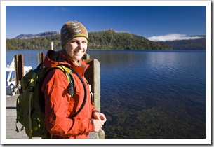
 The Overland Track is a six to eight day hike traversing Cradle Mountain-Lake Saint Clair National Park, beginning with the hike we took to Crater Lake a week or two ago. The trail culminates at Lake Saint Clair, when we visited it was the running of the a annual Overland Track running race, where crazies run the entire length of the Overland Track in a single day. I believe the record for the 80-or-so kilometers of high country hiking trail is
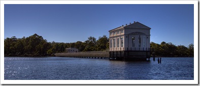
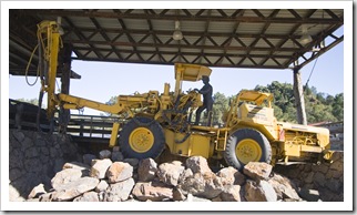
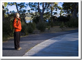
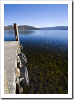
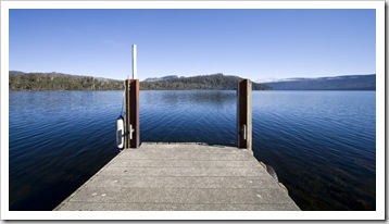
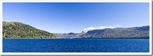
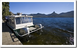
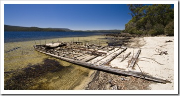
  around seven-and-a-half hours! Nuts. We took a boat along the length of Lake Saint Clair, stopping off at the old Lake Saint Clair pump house as part of our tour. Lake Saint Clair is Australia’s deepest freshwater lake at 167 meters (548 feet) at its deepest point, the boat tour is also Australia’s highest altitude commercial boat ride. Lake Saint Clair was dammed last century, raising its natural level by a few meters, and the pump house pictured was here added to fuel the hydroelectric plant installed at the
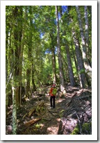
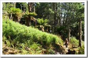
  dam’s base. Interesting to learn that the pump house used more power than the hydroelectric dam produced and also that the pumps in the pump house have only ever been turned on three times in their history, a poignant example of government planning at its finest! Our boat tour dropped us off at the northern end of the lake, from where we hiked back through the rainforests along the banks of the lake.
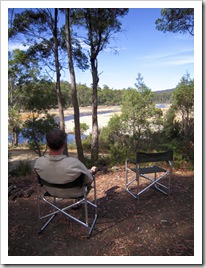
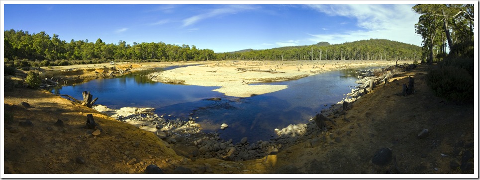
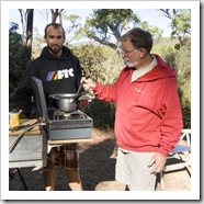
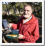
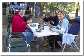
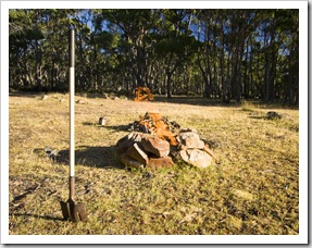
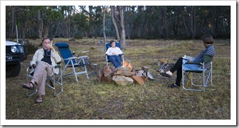
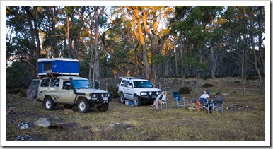 After our day of hiking around Lake Saint Clair we continued east along the unsealed Marlborough Highway, past the Great Lake and to the secluded Lagoon of Islands (S42°06.644’ E146°56.295’) in Tasmania’s centre. It was a brilliant bush campsite, alongside an expansive lagoon with plenty of wildlife
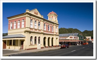
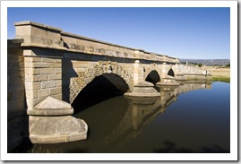
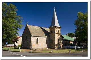
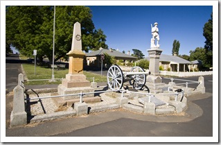
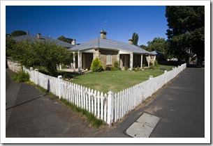
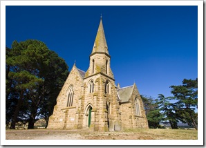
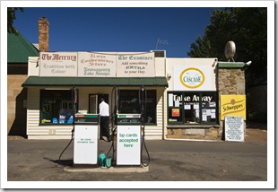
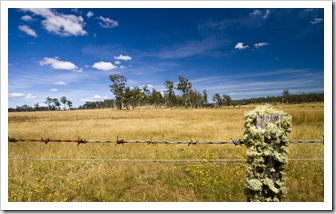
  and a campfire to keep us busy. We had wallabies, Pademelons and Brushtail Possums coming out of the bush well into the evening, I was even woken during the night as a possum found its way into the bag we keep strapped to the back of The Tank for empty beer cans. From the Lagoon of Islands we stopped off at the historic town of Ross on our way east, a nostalgic settlement in the middle on central Tasmania’s agricultural country with an amazing array of heritage buildings. A quick restock in Campbell Town and we pushed on to the lauded Freycinet Peninsula.
This entry was posted on Sunday, February 7th, 2010 at 7:00 AM and is filed under Australia, Tasmania. You can follow any responses to this entry through the RSS 2.0 feed. Both comments and pings are currently closed.




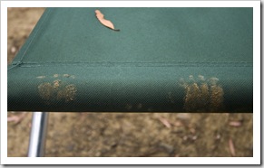



Once again Sam, you are taking some GREAT photo’s and visiting some AWESOME sites. Did you see anything in the way of wildlife like deer, bears or any other critters? What do you think left the paw prints on your chair? Racoon or maybe the Tasmainian Deveil himself?
February 22nd, 2010 at 1:16 AM