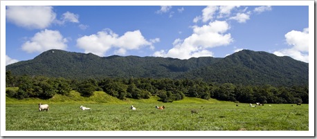
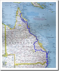
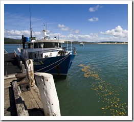
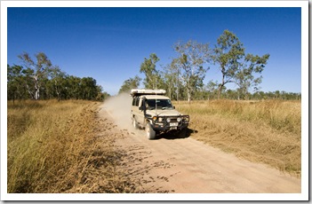
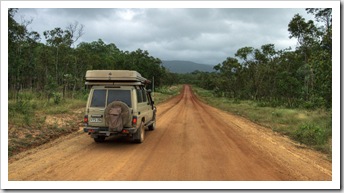
 Cooktown is as far north in Queensland as one can travel on the pavement. Named after Captain James Cook when he stopped in the area in 1770, Cooktown is a sleepy collection of a few shops and hotels on the banks of the beautiful Endeavour River. After a quick stop in Cooktown for necessities (beer and fresh vegetables), as well as an awesome pie from a German lady selling them at a stall in the park next to the marina, we were back on the dirt, headed along Battle Camp Road north to the fabled Cape York Peninsula.
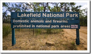
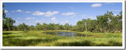
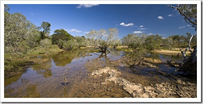
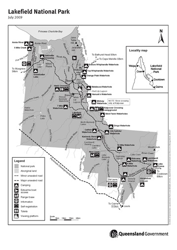 We spent most of our time on Cape York at Lakefield National Park. Lakefield is Queensland’s second largest National Park, covering a whopping 542856 hectares. It’s a couple of hours’ drive northwest of Cooktown along Battle Camp Road. Nestled on the edge of Princess Charlotte Bay, Lakefield’s low-lying expanse effectively becomes an inland sea during the wet season, when the park is completely closed and all rangers evacuated. During the dry Lakefield is made up of an array of waterholes and deep pools in
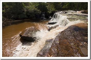
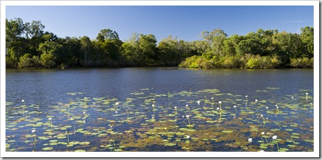
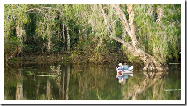
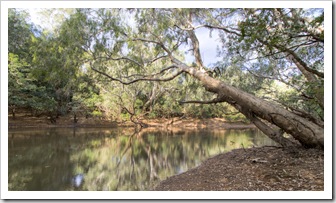
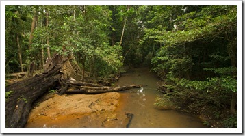
  the multiple rivers that traverse its expanse, many of the holes are covered in beautiful lilies and fringed by towering gums. The National Park is home to one of Australia’s most concentrated populations of Estuarine Crocodiles, so while the waterholes and rivers were all very picturesque we made sure to keep our distance from the banks at all times! During the late 1800s what is now Lakefield was a major access route to the northern goldfields, after which the property was part of Laura Cattle Station before being purchased by the Queensland government and turned
 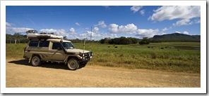 into a National Park.
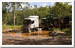
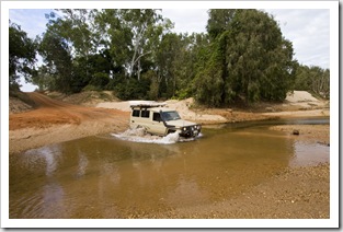
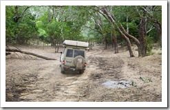
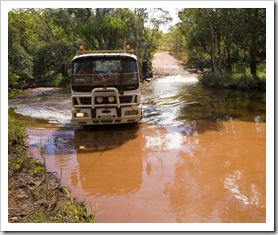
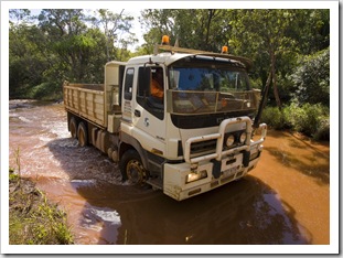
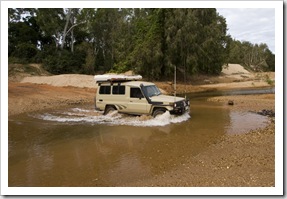
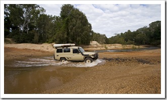
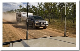
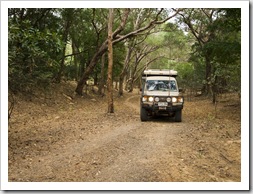
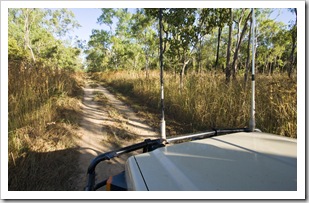
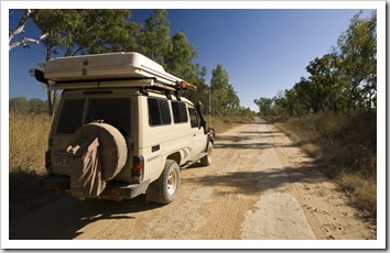
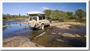
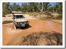
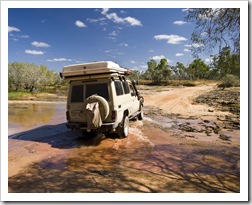
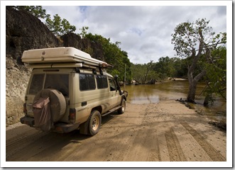
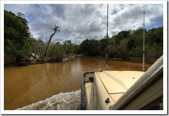
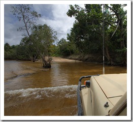
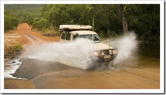
Access from Cooktown along Battle Camp Road gave us our fill of water crossings, nothing strenuous but fun to watch some of the big trucks driving the road navigate through the murky pools. We shacked up for the night near Lakefield’s southeastern boundary, pretty 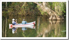 beat after a long day of driving. Lakefield’s
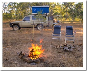
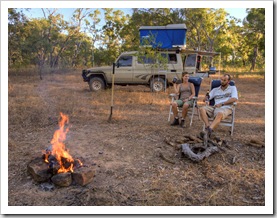
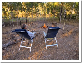
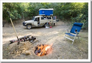
 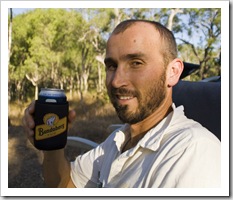 myriad of camping areas were fantastic, our first night alongside Horseshoe Lagoon (S15°17.156’ E144°36.900’) was a brilliant spot near the water’s edge where we had a view of the lagoon all to ourselves. Lakefield is one of the few National Parks in Queensland where collecting firewood and campfires are permitted, so we enjoyed whiling away each evening with a few beers around the fire pit. The waterholes and river pools of Lakefield offer excellent fishing: Catfish, Barramundi and Freshwater Longtom abound before the floods of the wet come and flush everything out to sea. No fishing for us on our first night next to Horseshoe Lagoon though, there wasn’t any way to access the water without standing right next to the bank and we decided we’d rather keep our limbs intact than donate them to a conniving croc!
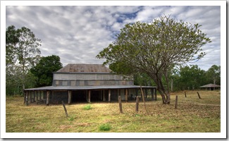
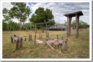
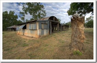
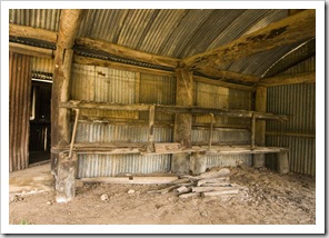
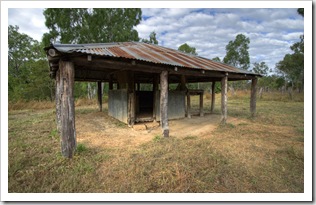
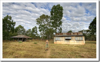
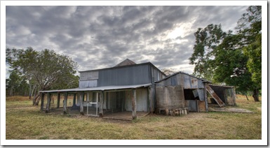 There’s a lot of history attached to the area that’s now Lakefield National Park. The remains of the old Laura homestead have been quite well maintained by the Queensland NPWS and were an interesting stop for us as we traversed the southern portion of the National Park from Horseshoe Lagoon. The old photos of the original homestead erected inside the ruins show that Laura was quite a bustling station in its heyday, it would have been tough country on which to run cattle a hundred or so years ago.
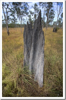
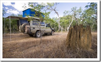
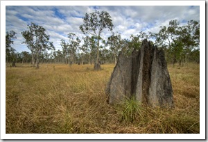
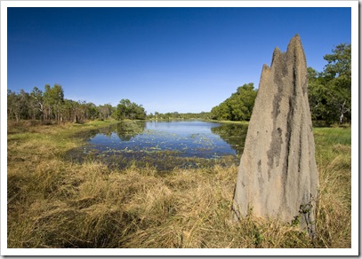
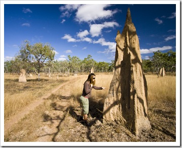
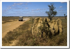
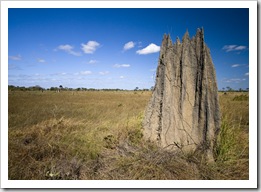
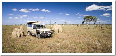
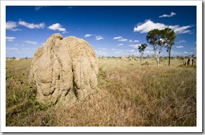
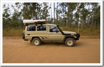 As we drove north on Lakefield Road we quickly noticed that in Lakefield where there isn’t water the ground is covered with termite mounds. As when we traversed the Northern Territory and Kimberley last year, the plains in Lakefield are covered with huge termite mounds in hues from orange to a metallic grey. They seemed to get larger as we moved north, some of the mounds we encountered on the Nifold Plains were at least as big as The Tank.
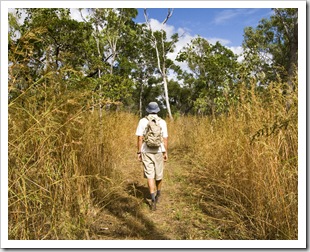
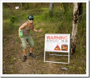
There’s not a lot to do but sightsee, drive and fish in Lakefield (I’m not complaining at all, it was a fantastic spot). We did  come across a walking trail near Kalpowar Crossing, a four kilometer (2.5 mile) stroll through the tall grasses lining the Normanby River. We both had adrenaline flowing when we had to make the crossing between two low-lying waterholes where there were a couple of big signs warning of recent crocodile sightings. We psyched each other up and ran the section of trail between the eerily still pools of water!
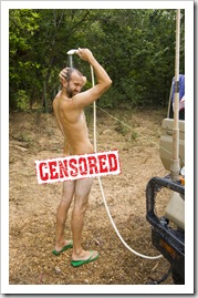
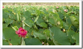
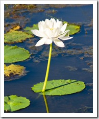
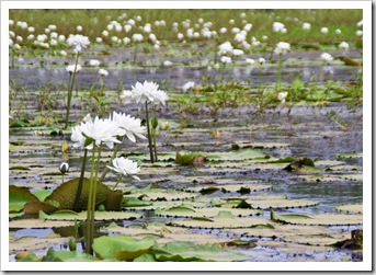
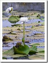
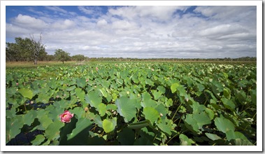
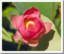
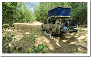
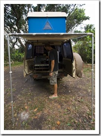
 A major highlight on our way through central Lakefield was the adjacent pools of water known as White Lily Lagoon and Red Lily Lagoon. As their name suggests the waterholes are canvassed with beautiful lilies, the towering Lotus Lilies of Red Lily Lagoon were quite an awe-inspiring sight. After taking in the two lagoons we backtracked a little to Midway Waterhole (S14°53.164’ E144°12.362’), a secluded pool in the Normanby River with only a single campsite on the banks a couple of meters above the water level. An awesome spot, we had it all to ourselves and I enjoyed the afternoon with a spot of fishing while Lisa broke out her sketch book. Unfortunately I didn’t manage to bring anything onto the bank at Midway but did hook a few Freshwater Longtoms which kept things interesting. While it was nowhere near as humid in Lakefield as in the jungles of the Daintree, it was definitely hot work getting camp setup and collecting firewood during the middle of the day. We were both thankful for The Tank’s shower, a quick rinse before dinner so refreshing and nothing like being able to nude it up in the middle of the bush!
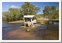
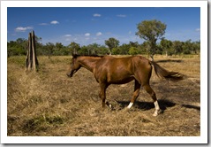
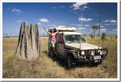 From Midway we continued north, stopping off at the beautiful Breeza Kennedy Waterhole next to the remains of Breeza homestead and then taking a bit of a detour to complete the quick walk from the old Bizant ranger station to Blue Lagoon. Blue Lagoon is covered in the same Lotus Lilies as Red Lily Lagoon, a nice walk through the bush past some picturesque waterholes to make it to the lagoon. We came across a brumby (wild horse) next to the tame Hann River Crossing, before tackling a little more water at the crossing of the Morehead River further north in the National Park. The Nifold Plains extending between Hann River and Saltwater Creek were quite spectacular, seemingly endless expanses of tall grass dotted with gigantic termite mounds. We ventured off the track a few times for photos next to the larger mounds, huge piles of dirt, amazing to think of the millions of ants working together to construct them.
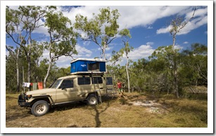
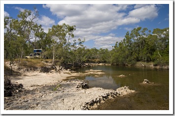 We spent our last night in Lakefield at the National Park’s northern end alongside 5 Mile Creek (S14°32.238’ E143°49.599’). Another spot where we had the bush to ourselves, setup a few meters above the water level it was more campfire and beers into the evening. We both spent some time fishing in the deeper pools of the creek during the afternoon, Lisa getting quite a fright when she found herself being stared down by an Estuarine Crocodile whilst standing well back from the bank. That spelled the end of fishing for Lisa that afternoon, instead she decided to shadow me along the waterway where I hooked a couple of Barramundi, the one I got onto the bank unfortunately a little undersize so he had to go back.
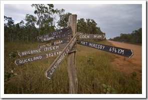
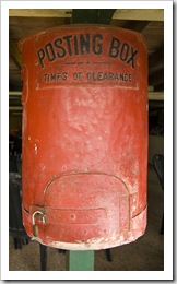
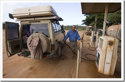 We headed out from Lakefield early on our last morning in the National Park, motoring inland the roughly 50 kilometers to Musgrave Roadhouse on the Cape York Developmental Road (the main dirt road up the centre of the peninsula). The owner/operator of Musgrave was quite an interesting chap to talk with, the roadhouse has been in his family since 1892. Unfortunately the owner’s children all work in the city and aren’t interested in continuing the family business, so when he retires it will be quite the end of an era when Musgrave
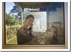
 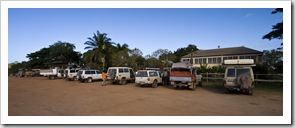 changes hands. Our original plan was to turn back south at Musgrave, hearing from a number of other travelers that making the 600 kilometer trek to the top of Cape York really wasn’t worth the effort. But we had a few days to kill and instead decided to venture further north to Iron Range National Park roughly 340 kilometers up the peninsula from Musgrave. Lisa made a quick call to her family to let everyone know we were still alive and I topped up the diesel tanks before hitting the dirt again.
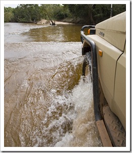
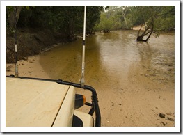
 The drive to Iron Range was quite a mission. The 200 kilometers (124 miles) along the dirt road to the Iron Range turn off wasn’t bad, but the last 120 kilometers into Iron Range was slow going. Nothing impossible, but a lot of deep dips with water at the bottom, slick roads in the misting rain and the crossing over the Pascoe River gave us cause to sit back and have a think about things before attempting the ford. Iron Range was unfortunately a bit of a let down for us… While it is Australia’s largest swath of lowland rainforest, we were a little topped out on rainforests after our trip through the Wet Tropics World Heritage Area and Daintree during the previous weeks. The campgrounds left quite a bit to be desired, and to put the icing on the cake the weather consisted of misting rain and gale force winds
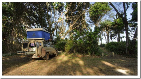
 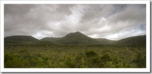 when we arrived. We trekked out to Chili Beach (S12°37.797’ E143°25.725’) at the National Park’s northern end and setup in the jungle
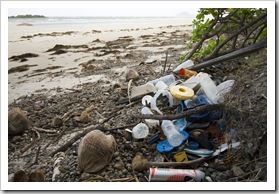
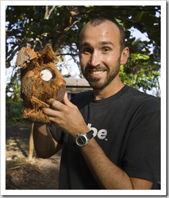
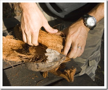
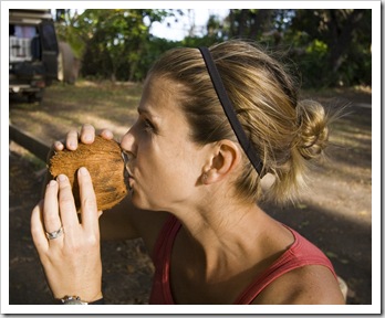
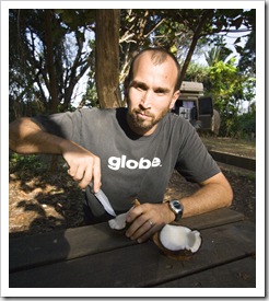
 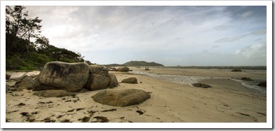 just back from the beach. The humidity was impenetrable, we both hardly slept at all in the sticky heat coupled with howling wind. Also sad to see the amount of rubbish that was washed up on Chili Beach, it must be something to do with the tides in this area of the coastline. Made us want to never use plastic again! I will say that it was quite fun picking up coconuts from the beach and hacking them open, the sweet coconut milk a welcome treat in the late afternoon before dinner. Definitely not worth the 690 kilometer round trip and two days of driving to and from Musgrave to see Iron Range. We should have taken your advice and turned around at Musgrave, John!
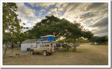
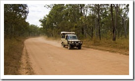
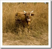
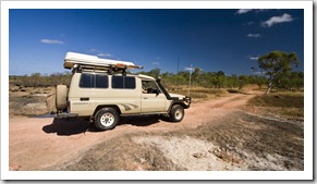
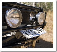
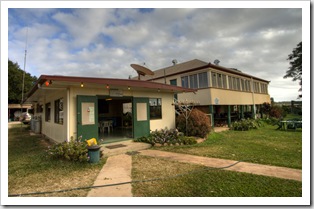
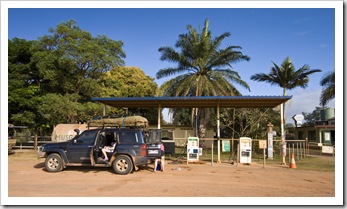
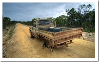
 After a marathon day of driving from Chili Beach down Cape York, we made it to the small settlement of Laura late in the afternoon on our last day in the area. The Laura Roadhouse allows camping on the grass behind the main structure, we setup for the night and enjoyed a proper shower, the first one in over a week (but we do use The Tank’s shower so we never get really on the nose…). We enjoyed a beer and informative chat with the young owner of the LandCruiser FJ pictured here. Hailing from Dubbo in New South Wales, the young bloke was employed as a freelance bull catcher by some of the stations on Cape York north of Laura. The stations in Queensland are allowed to catch cleanskin (unbranded) bulls and heifers to claim as their own. May sound straightforward,
 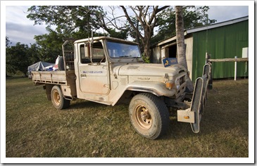 but when a station up here is often the size of a small European country without any roads to speak of, catching feral cattle is quite an undertaking. He explained that to catch bulls they cut the roof and windscreen off an old FJ like the one pictured here, encasing the trimmed-down vehicle in a cage of tubular steel to protect it from the bulls. On the front is attached a large padded ram or tyre. After chasing down a bull or heifer through the bush the ram is used to hit the animal on the run (preferably without breaking any of its legs), and while the animal is on the ground the bull catcher jumps out of the vehicle to tie up its hind legs before it can right itself. Full-sized bulls and heifers fetch $100 a piece from the station owners. Tough work for sure!
That’s it for Cape York, we’ve traveled as far north in Queensland as we’re going to go. A little rest and relaxation in the Tablelands is in store for us, before my mum and her partner come to meet us in a week or so for a few days on Lizard Island.
This entry was posted on Thursday, June 24th, 2010 at 10:00 AM and is filed under Australia, Queensland. You can follow any responses to this entry through the RSS 2.0 feed. Both comments and pings are currently closed.







[…] west toward Normanton. There wasn’t a whole lot to see on the way across the base of Cape York, seemingly endless plains of red dirt and scattered gums on either side of the blacktop. A […]
July 17th, 2010 at 8:02 PM
You definitely should have gone further north. You would have loved Fruitbat Falls, Twin Falls, Elliot Falls, Wenlock Falls, let alone camping anywhere on the Wenlock River. The white sand dunes of Shelbourne Bay are incredible, the drive to Somerset through the Lockerbie forest gorgeous, and the view from “the tip” really is something else. You could have even done the Old Telegraph Track which has some spectacular camping sites along freshwater streams. And then you have the fishing at Sesia, or the ferry to Thursday Island and Horn Island for a day trip, or even visiting pearl farms in the Torres Strait! It’s such a shame you didn’t go the whole way after such a long trip. You really missed out on an adventure. 🙁
P.S. I’m yet to find a good meat pie north of South Townsville’s “Daisy’s Kitchen”. Chunks of tender meaty steak with flavoursome gravy…almost makes me want to move there. Weipa does have good cream buns though. And $2 chips dosed with chicken salt. Yep, you definitely shoulda gone further north than Musgrave/Iron Ranges.
September 10th, 2010 at 4:45 PM
G’day Sam and Lisa
Great trip report and great pics. We camped in the same site as you did at Chili Beach in July 2010, and then after three days of heavy rain there, we managed to take advantage of free parking in the Pascoe River on the return trip. A question – in any of your reading have you come across the derivation of the naming of Chili Beach? Maps and publications vary in spelling, and it doesn’t get a guernsey in the Qld Dept of Environment and Resource Management place name register.
Cheers
January 29th, 2011 at 5:14 PM
Hey there just wanted to give you a quick heads up. The words in your post seem to be running off the screen in Opera. I’m not sure if this is a format issue or something to do with browser compatibility but I figured I’d post to let you know. The design and style look great though! Hope you get the problem solved soon. Many thanks
June 17th, 2011 at 1:08 AM
[…] a great writeup / blog on Lakefield with heaps of great photos and advice on good things to see: Cape York Peninsula | Our Walkabout We will be following in their footsteps for most of Lakefield. JK __________________ '96 GQ […]
July 15th, 2012 at 5:00 PM
You have some great photos of the Lakefield National Park. I worked at Lakefield as a stockman (“cowboy”) for several years in the 1960’s before the station was bought by the Queensland government from Tarrawinaba Agencies who operated it as a cattle station. Some of the photos that you portray as “Laura homestead” are actually on the former Lakefield Station, not the Laura Station.
September 21st, 2014 at 1:01 AM