Planet View: S16°55.246’ E145°44.483’
Street View: S16°55.246’ E145°44.483’
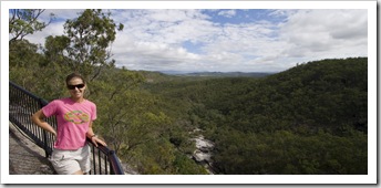
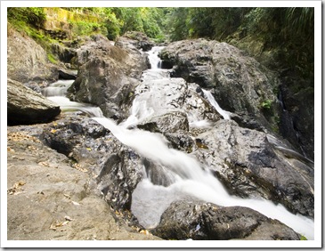
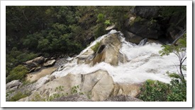 We’ve been skirting around Cairns for a few weeks now, exploring the Wet Tropics World Heritage Area to the south, Tablelands to the west and all the way up Cape York to the north. We arrived in town on Sunday after our trip across some very arid country from Chillagoe-Mungana Caves, stopping off to check out Davies Creek National Park on the way in. One of the many waterfall-fed gorges around Cairns, Davies Creek was a beautiful spot with a very powerful waterfall at its beginning. The angle of the lookout above the falls wasn’t the best for a photo, there was a serious amount of water cascading down the rocks…
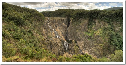
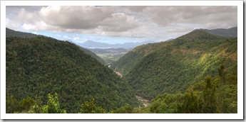 We also stopped off in Kuranda on the way down the mountains into Cairns. Kuranda is famous for its rainforest markets as well as being the point at which the Kuranda Skyrail disembarks. While I’m sure Kuranda would have been a quaint mountain village at one point in time,
 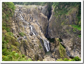 the immense influx of tourists and multiple daily tour buses passing through town has turned the markets into more of a tourist trap than some of the other brilliant markets we’ve visited on our travels (like the Yungaburra Markets we visited on Saturday). Since when has a ‘gourmet’ pie consisted of plain mince, gravy and pastry? Queenslanders just do not know how to make good pies, especially in touristy towns… A few kilometers past the centre of Kuranda lies the Barron Falls section of Barron Gorge National Park. The falls were an awesome sight, multiple strands of water cascading down the cliffs into the gorge below, I’ve seen photos of these falls during the wet season when they turn into a single massive torrent of foam. The boardwalk leading to the falls lookout was very well done, similar to some of the canopy walks we’ve done elsewhere on our trip for most of the way we were walking 20-30 feet above the ground through the jungle. A very different perspective on the rainforest. In 1935 Australia’s first underground hydro-electric station was built to harness the immense power of the floodwaters cascading over Barron Falls each wet season. It was replaced by the Barron Gorge Hydro-Power Station further down the gorge in 1963 after the construction of the Tinaroo Dam upstream on the Barron River.
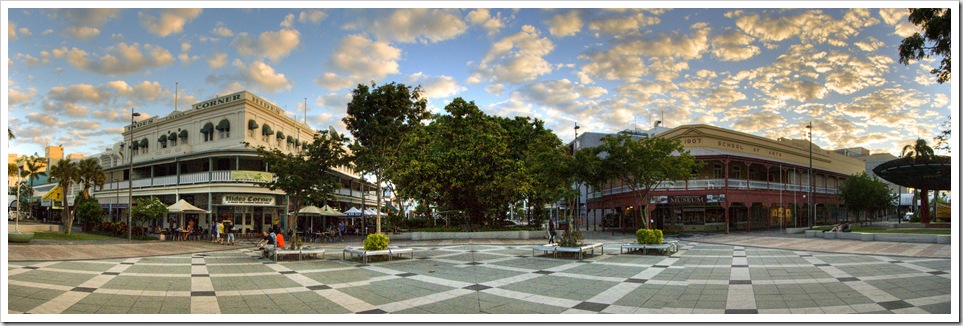
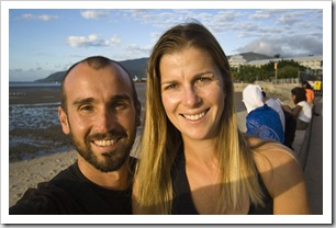
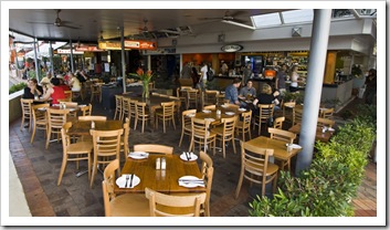
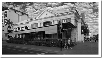 Cairns proper was a bit of tourist zoo. We kind of liked the place though, contrary to our preconceptions, with its esplanade lined with cafes and restaurants, plethora of well-priced drinking establishments and no shortage of interesting people to sit and watch. On our first night in town we treated ourselves to a nice dinner followed by a few drinks at the pub, we were still on camping time so were able to take advantage of
  all the restaurants offering 20-30% off the bill if you’re seated by 7:00PM. Not very often you can go to a restaurant and order two main meals with a jug (pitcher) of beer for ~$35!
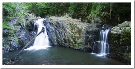
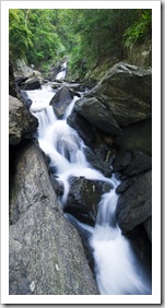
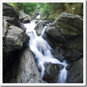
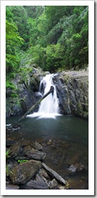
With a couple of days to kill before my mum, her partner Steve and his son Oliver met us for our trip to Lizard Island we explored some of the Cairns surrounds after our initial night in town. The Crystal Cascades are a short drive west of Cairns, a beautiful gorge with multiple waterfalls and no shortage of swimming holes. It was early morning and still quite cloudy when we explored the gorge, but had it been hot it would have been an awesome place for a dip…
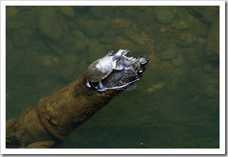
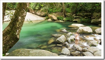
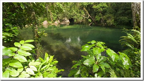 From the Cascades we headed south of Cairns roughly 50 kilometers to the sleepy sugar cane town of Babinda. Babinda’s claim to fame is often being crowned the wettest town in the whole of Australia, a few years ago the tiny hamlet received almost 7000 millimeters (276 inches) of rain! Just west of town into the mountains is a beautiful swimming hole called the Babinda Boulders. A tranquil turquoise pool fringed by the rainforest on the edge of Wooroonooran National Park, we enjoyed lunch in the picnic area and couldn’t pass up a swim. The water was so clear I took my snorkel and mask down to the pool, spotting quite a few tortoises cruising along the sandy base of the pool. When we met Townsville locals Heath and Anna at Murray Falls a few weeks back they mentioned that the freshwater waterways in the topics are home to Australian Longfin Eels. I wasn’t expecting to see any at Babinda Boulders, but got quite a shock when I saw three or four of the at least meter-long (3.3 feet) eels cruising the pool in search of food! I thought one was trying to nip my toes but eventually figured that he was in search of food in the silt that my feet were kicking up on the bottom. The eels can supposedly get up to two metres (6.6 feet) in length and weigh up to 20 kilograms (44.1 pounds)!
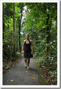
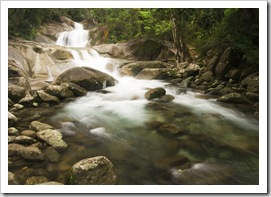
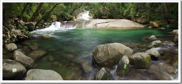 Our last stop of the day on Monday was at another of Wooroonooran National Park’s wonders: Josephine Falls. A gushing torrent of water and another popular swimming hole with the locals, the falls are a short walk through the dense jungle. It was late in the day by the time we’d arrived but the pool at the
  base of the first viewing platform would have been a fantastic spot for a swim. The water colour was quite spectacular, the pictures here don’t do it justice, such a brilliant turquoise at the base of the granite boulders forming the falls.
We traveled back to Babinda for the night from Josephine Falls, setting up camp at the town’s rest area on a welcoming patch of grass a short walk from the pub (I’m always pro camping areas that are walking distance to a pub!). We strolled into town after dinner to check out the night life, not much going on in Babinda on a Monday night but interesting all the same. At one of the pubs we were two of the three patrons at the bar, while the Babinda State Hotel was a little more lively with five or six other attendees. The free pool at the Babinda State Hotel kept us occupied for an hour or two, it was quite a hoot to watch some of the local Aboriginals play the pub regulars.
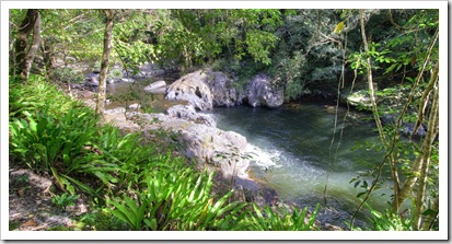
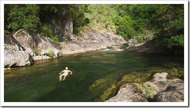
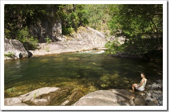
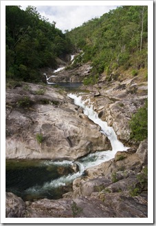 On our way back into Cairns to meet my mum and Steve we figured we’d better not leave any of the major Cairns sights unseen, so stopped off at Behana Gorge roughly halfway between Cairns and Babinda. Another of the gushing waterways that has been commandeered by the Cairns Regional Council for water supply, Behana Gorge is accessible via a three kilometer (1.9 mile) walking track from the end of Behana Gorge Road. Quite a heart-pounding walk in the dense humidity, I took a lengthy swim in the pool at the base of one of the gorge’s falls and Lisa cooled her feet before we were on the road again on our way into Cairns.
This entry was posted on Thursday, July 1st, 2010 at 5:47 AM and is filed under Australia, Queensland. You can follow any responses to this entry through the RSS 2.0 feed. Both comments and pings are currently closed.


[…] a long way from Cairns to Adelaide. 2738 kilometers (1701 miles) miles if you take the shortest route. We made […]
July 16th, 2010 at 8:44 AM