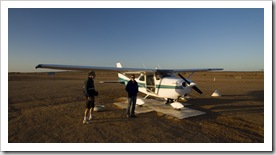
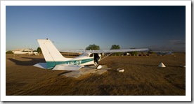
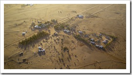
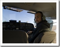
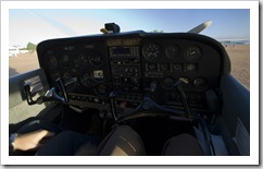
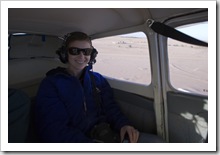
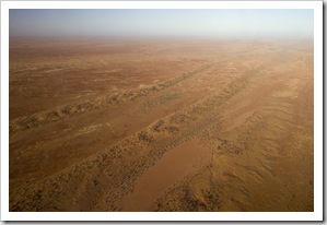
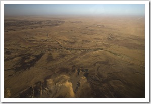
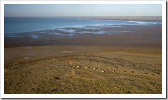
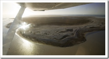
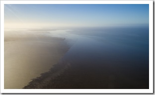
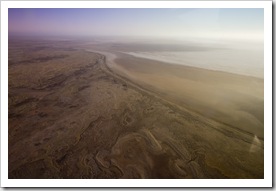
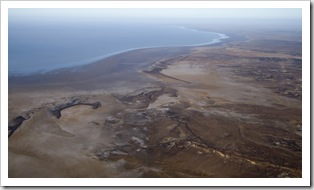
 Yesterday began with my birthday present from my mum: a scenic flight over Lake Eyre. Lake Eyre is really something that should be seen from the air, it stretches a huge 144 kilometers from north to south and collects the water from one sixth of Australia’s landmass. The recent floods in Queensland have resulted in the lake being a little over half full so we took the once in a decade chance to see the lake with a significant amount of water in it. We took the flight in a small Cessna from William Creek, the four of us (including the pilot) flying for around 20 minutes from William Creek to the lake, another 20 over the two main islands,
 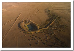 then back to William Creek for approximately one hour of total flying time. We started the trip cruising at 500 feet, lifting to 2,500 feet for the second
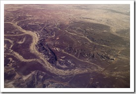
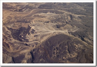
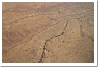
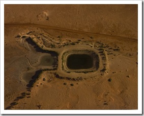
  half of the flight to give us a feel for the massive expanse of the body of water. The pilot flew us low over a pelican rookery on one of the lake’s islands, the big birds making their way to the same spot every year, twice a year, to hatch their young. It was a fantastic flight, not only being able to witness the lake in all its glory, but also having a chance to see The Outback from the air. All the formations created in the sands by the heavy rains were breathtaking, the way the creeks (which are currently dry) carve their way through the desert was amazing to see.
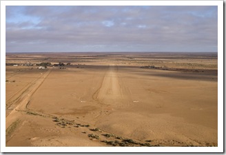
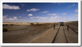
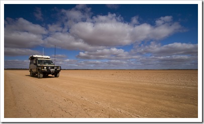
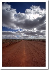
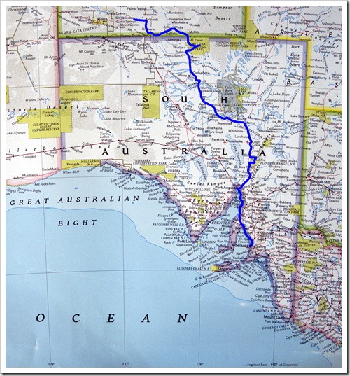
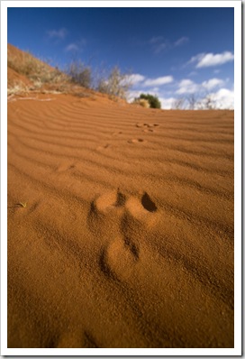 We set off north following our flight, making a beeline up the Oodnadatta Track for the town of Oodnadatta. The first portion of the track from Marree to William Creek was relatively smooth sailing, some sections of the track yesterday morning between William Creek and Oodnadatta were a little more testing. The corrugations were bearable but sections that had been carved out by vehicles running the track after heavy rains made for some tricky driving. The last few kilometers before reaching Oodnadatta were the worst, large corrugations which seemed to be exactly the length of The Tank gave us quite a ride! Just before we reached Oodnadatta Lisa noticed that the rough road had rattled our rooftop bed open, then last night when we climbed upstairs to go to sleep we found that one of
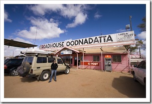
  our sleeping bags had unfortunately been whisked out while we were driving with the bed unlatched. I’m pretty disappointed, I’d had that sleeping bag since I was a little kid, but we would have spent more money in fuel backtracking to find it than it would cost to replace it. And I doubt whether we’d find it anyway. Que, sera, sera… We had a chat with Adam, the eccentric owner of the famous Pink Roadhouse, while refueling The Tank at Oodnadatta as well as grabbing a quick bite whipped up by one of the many western European employees of the roadhouse. Next stop: Dalhousie Springs.
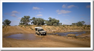
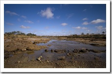
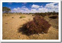
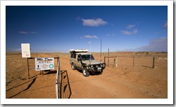
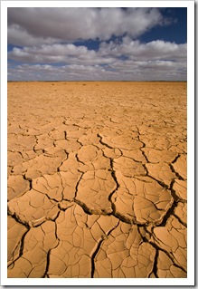 The continuation of the Oodnadatta Track north from Oodnadatta was a little more nail biting than the section between William Creek and Oodnadatta. Still bearable though, and we made sure to cinch our bed down tight for the afternoon drive! The surrounds were not as desolate as those further south, a lot more vegetation evident and we started to see more cattle grazing in the desert with all the edible desert flora. We crossed over the expansive Fogarty’s Claypan a little ways north of Oodnadatta, we would definitely not want to attempt to cross this portion of the Oodnadatta track within a few weeks of a heavy rain. At Hamilton Station we veered east off the graded road onto the 70 kilometer 4WD track into Witjira National Park, the home of Dalhousie Springs (S26°25.415′ E135°30.228′). The road between Hamilton and Dalhousie made the Oodnadatta Track look like a walk in the
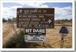
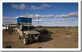 park. It was, quite frankly, as rough as guts. So tiring being bumped and jostled all over the place by corrugations and rocks, regardless of tire pressure or speed there was no beating the roughness of the road. We
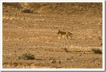
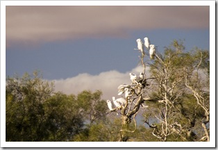
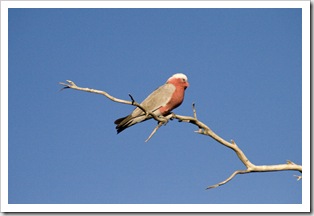
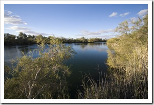
 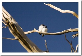 encountered a couple of motorcyclists on big BMW enduro bikes, one of whom had taken a spill and was waiting to be picked up by the Royal Flying Doctors, lucky they had a satellite phone as the mishap occurred approximately 150 kilometers from Oodnadatta. We arrived at Dalhousie Springs around 3:45PM yesterday, thankful to be done with the terrible road from Hamilton Station. Dalhousie is a beautiful little oasis on the edge of the Simpson Desert, the springs bubble out of the artesian basin at 43°C (109°F) and fill the nearby pool keeping it between 34°C and 38°C (93-100°F). The springs attract wildlife from all around, there were cockatoos and galahs all over the Dalhousie wetlands. We read on the National Park information board that the springs, isolated from surrounding waterways, are home to more than 10 unique species of fish, crustaceans and snails.
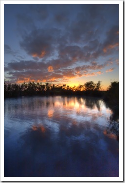
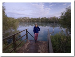
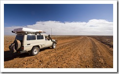
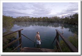 We started today with a pre-dawn swim in the warm waters of Dalhousie Springs, we stayed in the water for almost an hour, so refreshing and what a beautiful sunrise. A quick breakfast and we were off again on the mongrel of a track from Dalhousie to Mount Dare. Take a look at the size of the boulders to the right below! And those
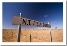
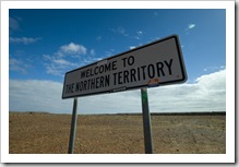
 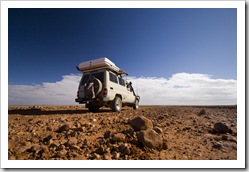 boulders are the track, that’s not off to the side. Once we passed Mount Dare, a cattle station that provides remote fuel and lodging for tourists, the road again became bearable, the corrugations a welcome respite from the rocks of Witjira National Park. Dalhousie Springs was absolutely fantastic, but if I never have to traverse the road in and out of there again I’ll be a happy man! We crossed the SA/NT border before reaching the aboriginal settlement of Finke, making our way the 140 kilometers to Kulgera and the Stuart Highway to refuel and find ourselves singing asphalt praises driving along the bitumen! Another 150 kilometers north west of Kulgera is our home for tonight, our first night in the Northern Territory at Mount Ebenezer (S25°10.817′ E132°40.698′).
This entry was posted on Tuesday, June 16th, 2009 at 5:30 PM and is filed under Australia, South Australia. You can follow any responses to this entry through the RSS 2.0 feed. Both comments and pings are currently closed.


Love those corrogations. How are the Italian seats working out? You are really seeing some territory few people tread. Have fun. Love M
June 17th, 2009 at 11:06 AM
Looks like you guys are having a BLAST. I’m so proud of you two for taking on an adventure like this…I’m also really jealous. Keep the posts coming…I love the updates.
Take care, love you guys!!!
Michelle, Mark and Macade
June 17th, 2009 at 2:33 PM
Sam, you might want to pull out some winch cable and attach the hook of the winch to your recovery point on the bullbar. Have a look at what others do up there. If your hook is just rattling around on the front, and not under tension, it might wear unnecessarily. I think that’s why they do it. Something for you to talk to the grey nomads in the Nissan Patrols about anyway.
July 5th, 2009 at 12:51 PM
[…] Cacoory Ruins roughly halfway between Bedourie and Birdsville. Our visit to the beautiful Dalhousie Springs along the Oodnadatta Track when we stated this adventure last June was another heated spring rising […]
July 18th, 2010 at 6:58 AM