Planet View: S14°19.067′ E132°25.252′
Street View: S14°19.067′ E132°25.252′
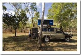
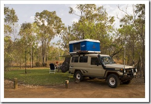
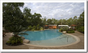 We arrived at the famous Nitmiluk National Park mid-afternoon and setup camp in the beautiful campsite run by the National Parks and Wildlife Service. Green grass amid towering gums, again with hot showers and a fabulous pool surrounded by a tropical garden, definitely our best camping spot
 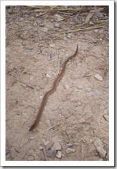 yet. Other than the main attraction of Katherine Gorge, Nitmiluk boasts an array of hiking trails to the various gorges and waterfalls throughout the park, ranging from a couple of kilometers to a six day 66 kilometer slog between Katherine Gorge
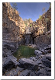
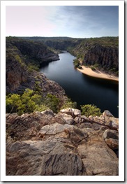
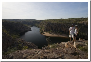
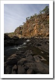
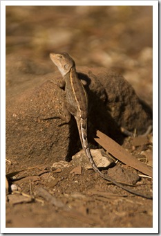
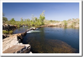
 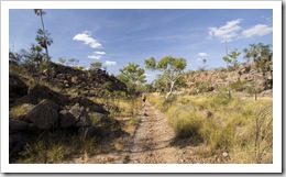 and Leliyn (Edith Falls). After our arrival we had time for a couple of hours of hiking to the Southern Rockhole, a small swimming hole just above the water level of the first gorge in the Katherine Gorge system. Lisa had a keen eye for wildlife (again), spotting the small snake pictured here on the trail to the Southern Rockhole, as well as sizeable keelback snake hunting for rocket frogs next to the Southern Rockhole. The rocket frogs were absolutely everywhere around the Southern Rockhole, fingernail-sized little brown frogs that would jump all over the place as either one of us approached their resting places. Pat’s lookout was a short hike off the trail to the Southern Rockhole, an amazing view of the first gorge in the Katherine Gorge system.
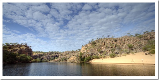
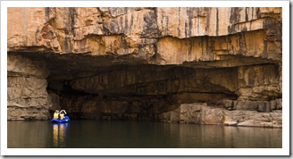
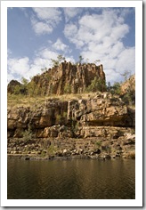
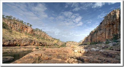
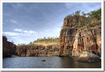
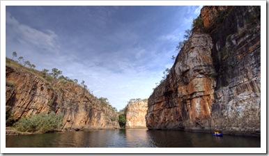
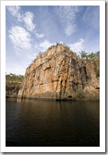
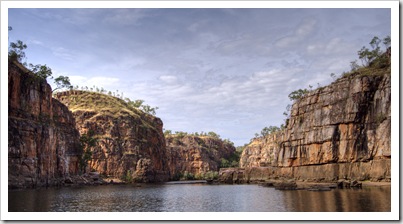
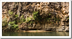
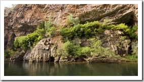
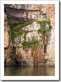
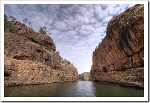
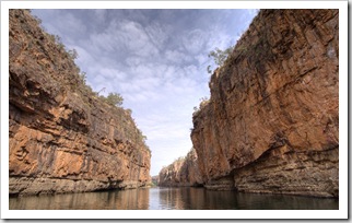
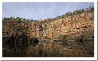
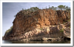
 We were told by a number of people that one thing we must do at Nitmiluk National Park is take a boat tour of the gorge system. We chose the extended tour, four hours through the first three gorges, which included a swim and a few snacks along the way. As the water level is so low in the dry season a single boat can’t traverse the entire gorge system. At the end of each gorge we’d disembark our boat and make the few hundred meter hike between gorges to board the boat for the next portion of the cruise. Our host for the tour was Shane, a quick-witted and very friendly Tiwi Islander who managed to get the whole boat laughing a number of times during the tour. The second gorge was amazing, massive towering walls of
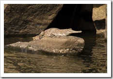
 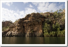 red rock on either side of the water, beautiful shades of red and orange. We spotted a couple of freshwater crocodiles along the
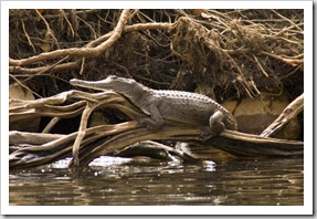
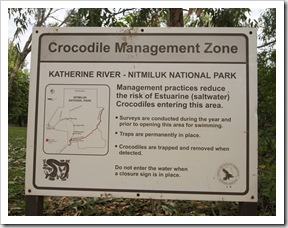
  way, one of which is pictured here. Awesome to see the prehistoric-looking beasts up close in the wild, to get close enough to see the rows of razor-sharp teeth. Shane mentioned that in the wet season the water level in the gorge system rises between eight and twelve meters from its dry season level. What an amazing amount of water! He also talked about the estuarine (saltwater) crocodile control, detailing that the gorge is closed to swimming for three months while the waters are patrolled for the man-eating beasts after the rains of the wet have passed. That left us feeling a little more comfortable as we were frolicking around in the water!
 After finishing up with our gorge tour we headed back into Katherine to grab a few beers after the mandatory 2:00PM opening time for liquor stores in Katherine. As we were waiting for the shop to open Lisa had a chance to call her dad for Father’s Day while we had Telstra connection. We then headed around 50 kilometers up the Stuart Highway and back into Nitmiluk National Park at Leliyn (Edith Falls) (S14°10.795′ E132°11.178′). Leliyn is a much lesser-known area of the park, but by no means any less grand, the campsite is located
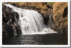
 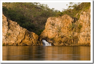 right next to the lower falls of Leliyn and we fell asleep on both nights listening to the gushing of the water as it cascaded down the
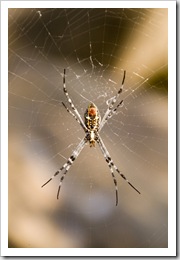
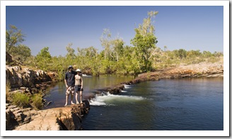
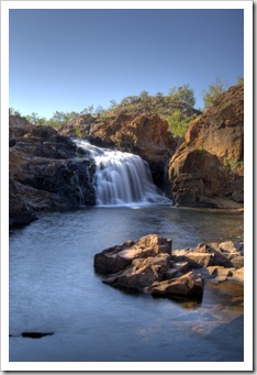
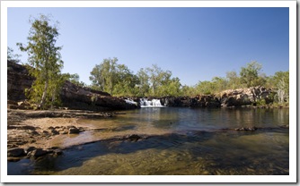
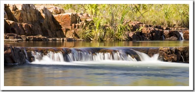
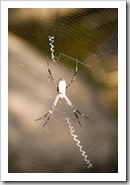
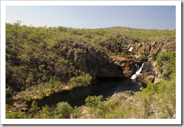
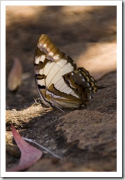 falls. The lower falls at Leliyn empty into a huge cliff-hemmed swimming hole, in which we took a sunset swim after setting up camp on our first night. Today we explored some of the myriad of hiking trails beginning at the falls, taking the roughly four hour return hike up the river to Sweetwater Pool (S14°11.247′ E132°12.998′). Along the way we passed the majestic upper falls of Leliyn, such a picturesque spot, the pools surrounded by all kinds of wildlife: from
  orb spiders the size of my palm to giant butterflies drinking from shaded pools (the two pictures to the right). We passed Longhole on the way to Sweetwater, holding out to swim until reaching our final destination.
  Sweetwater Pool was just beautiful, cascades of crystal clear water flowing into a large, deep pool. We spent the better part of an hour swimming and exploring the pool’s surrounds before making our way back along the hot midday walk to Leliyn’s upper falls for another swim. I managed to snap a good shot of Lisa being pelted by the upper falls’ cascades, it’s all the way at the bottom right of this post. We ate lunch at the upper falls then made it back down to camp for a mid-afternoon kip before yet another swim to finish up the day, this time at Leliyn’s lower falls just next to our campsite. Lisa noticed that the estuarine (saltwater) crocodile signs were a little different at Leliyn than those at Katherine Gorge. Leliyn’s signs read something to the effect of ‘saltwater crocodiles may inhabit this area, swim at own risk’ instead of the more comforting signs at Katherine Gorge pictured higher up in this post. So Lisa only spent a few quick minutes in the pool for our final swim! At the campsite ranger presentation later in the evening he assured us that they wouldn’t allow swimming should there be any chance of an estuarine crocodile in the area.
This entry was posted on Tuesday, June 23rd, 2009 at 9:30 PM and is filed under Australia, Northern Territory. You can follow any responses to this entry through the RSS 2.0 feed. Both comments and pings are currently closed.



What a fantastic trip! I don’t want to read about you being a croc snack! We are all doing something equally fun: year-end inventory…
All the best,
Bob
July 1st, 2009 at 8:26 AM
Fantastic pictures!!! Great read.
July 3rd, 2009 at 4:59 AM
[…] After a couple of relaxing days at the spectacular Manning Falls we pushed on to our next sleeping spot at Bell Gorge, approximately 100 kilometers further west along the Gibb River Road and our final stop on the Gibb proper. Fifteen kilometers west of Manning Falls we made a quick morning stop at Galvans Gorge, a nice swimming hole at the base of a waterfall a short walk into the bush off the road. It was only 8:30AM and thus was still a little cold for a swim but we were fortunate to run into a small flock of Red-Tailed Black Cockatoos, a bird we’ve been trying to get close enough to for a photo since we first encountered them at Katherine Gorge. […]
August 8th, 2009 at 5:23 PM
[…] nitmiluk (katherine gorge) national park […]
May 28th, 2010 at 9:02 PM